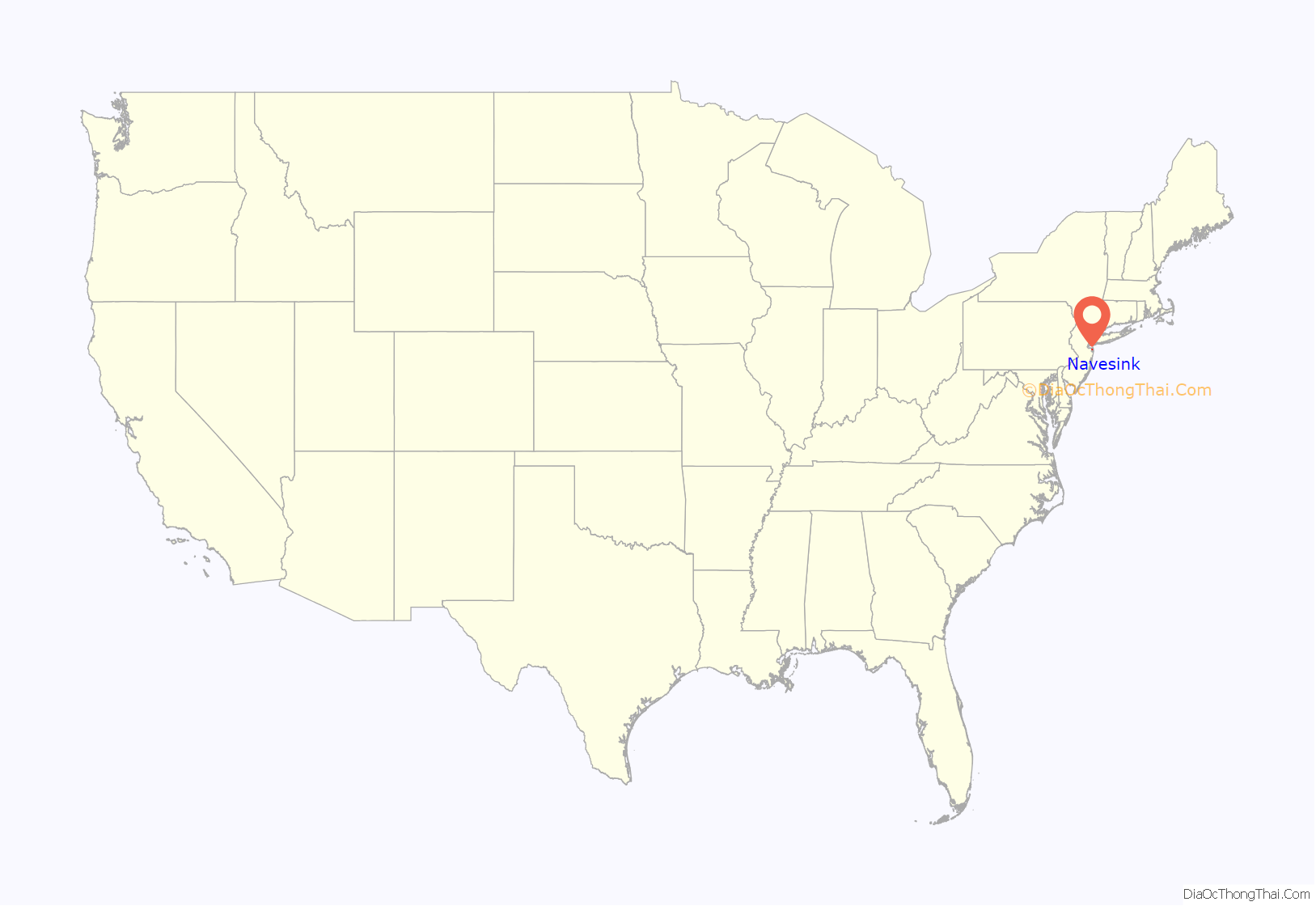
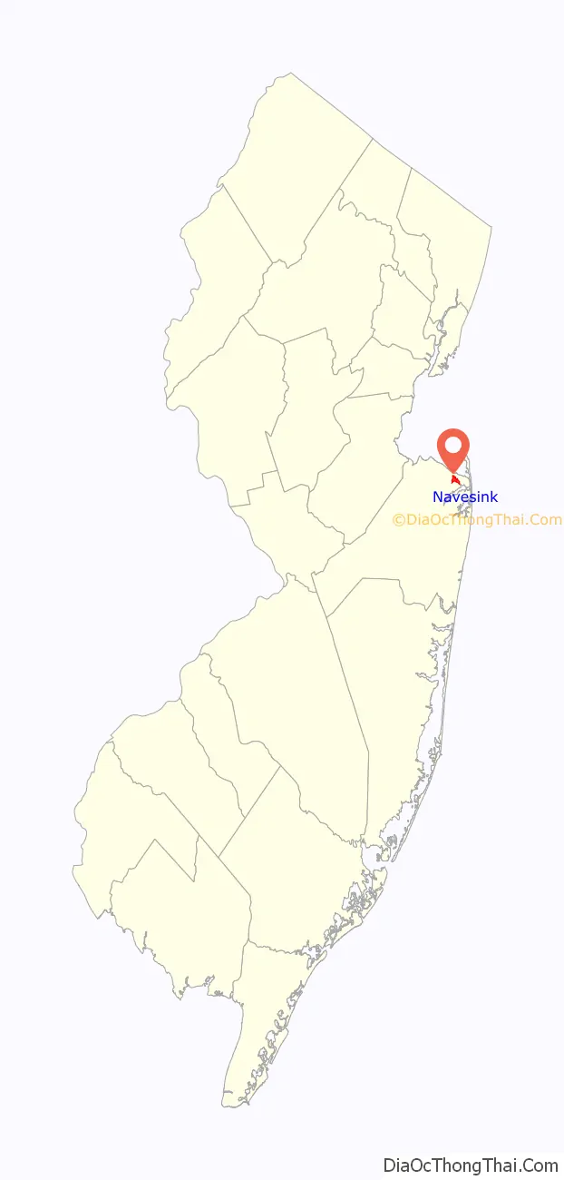
Navesink (/neɪvəsɪŋk/, NAY-və-sink) is an unincorporated community and census-designated place (CDP) located on the northernmost stretch of the Jersey Shore in Middletown Township in Monmouth County, in the U.S. state of New Jersey. As of the 2020 United States census, the CDP’s population was 2,004, reflecting a decrease of 16 (-0.8%) from thd 2,020 residents enumerated at the 2010 U.S. census.
| Name: | Navesink CDP |
|---|---|
| LSAD Code: | 57 |
| LSAD Description: | CDP (suffix) |
| State: | New Jersey |
| County: | Monmouth County |
| Elevation: | 118 ft (36 m) |
| Total Area: | 0.90 sq mi (2.32 km²) |
| Land Area: | 0.88 sq mi (2.29 km²) |
| Water Area: | 0.01 sq mi (0.03 km²) 1.27% |
| Total Population: | 2,004 |
| Population Density: | 2,277.3/sq mi (879.3/km²) |
| ZIP code: | 07752 |
| Area code: | 732/848 |
| FIPS code: | 3449740 |
| GNISfeature ID: | 02389532 |
Online Interactive Map
Click on ![]() to view map in "full screen" mode.
to view map in "full screen" mode.
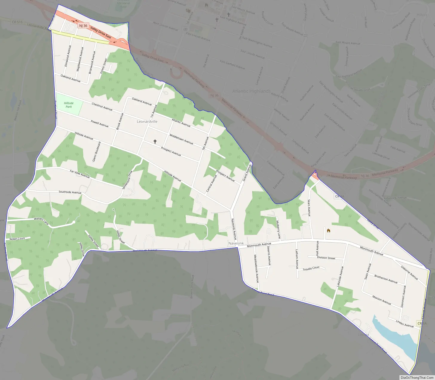
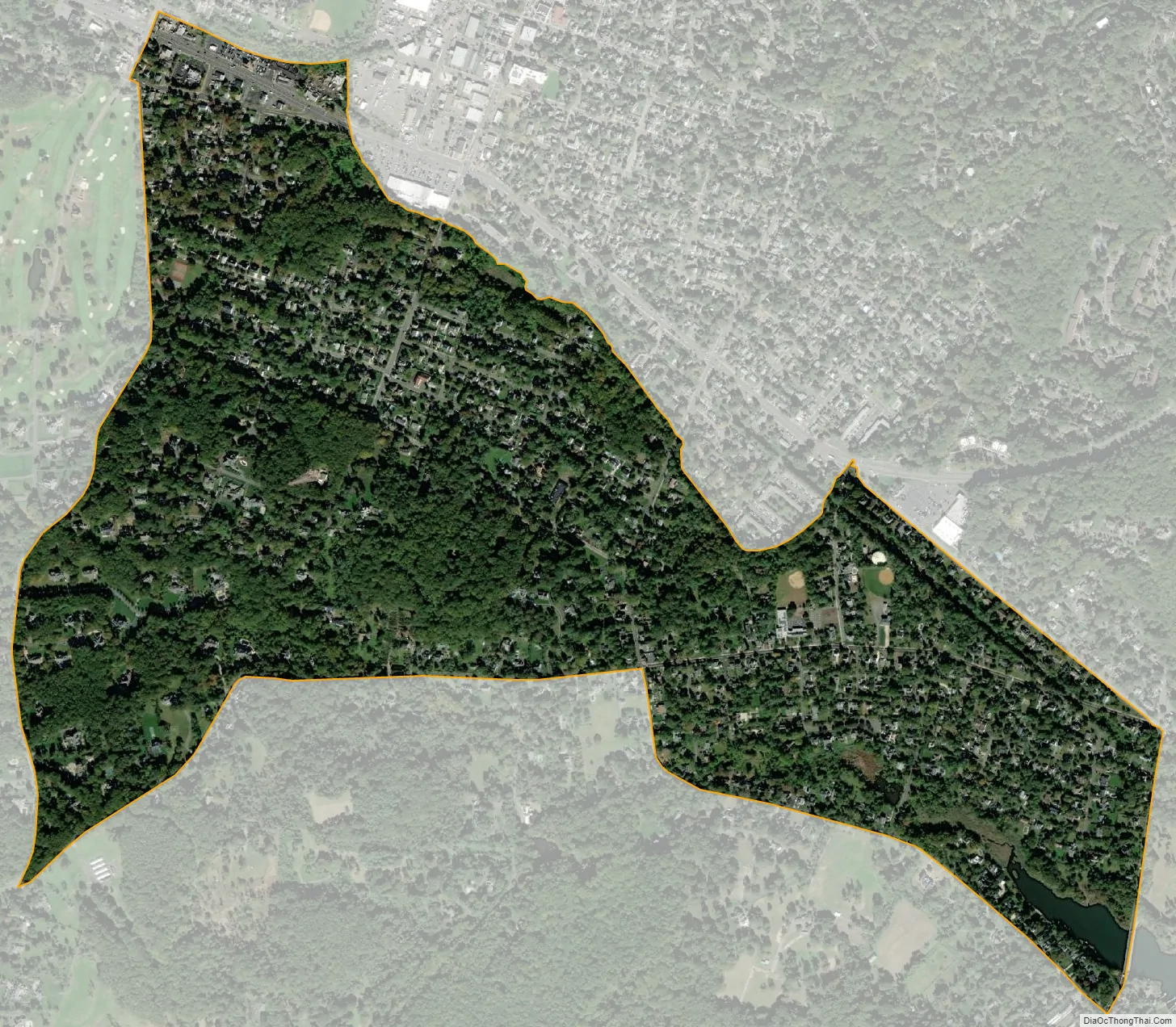
Geography
According to the U.S. Census Bureau, Navesink had a total area of 0.896 square miles (2.321 km), including 0.885 square miles (2.291 km) of land and 0.011 square miles (0.030 km) of water (1.27%).
See also
Map of New Jersey State and its subdivision: Map of other states:- Alabama
- Alaska
- Arizona
- Arkansas
- California
- Colorado
- Connecticut
- Delaware
- District of Columbia
- Florida
- Georgia
- Hawaii
- Idaho
- Illinois
- Indiana
- Iowa
- Kansas
- Kentucky
- Louisiana
- Maine
- Maryland
- Massachusetts
- Michigan
- Minnesota
- Mississippi
- Missouri
- Montana
- Nebraska
- Nevada
- New Hampshire
- New Jersey
- New Mexico
- New York
- North Carolina
- North Dakota
- Ohio
- Oklahoma
- Oregon
- Pennsylvania
- Rhode Island
- South Carolina
- South Dakota
- Tennessee
- Texas
- Utah
- Vermont
- Virginia
- Washington
- West Virginia
- Wisconsin
- Wyoming


