Neptune City is a borough in Monmouth County, in the U.S. state of New Jersey. As of the 2020 United States census, the borough’s population was 4,626, a decrease of 243 (−5.0%) from the 2010 census count of 4,869, which in turn reflected a decline of 349 (−6.7%) from the 5,218 counted at the 2000 census.
The Borough of Neptune City was incorporated on October 4, 1881, based on a referendum held on March 19, 1881. The boundaries included all of present-day Neptune City, along with what is now Avon-by-the-Sea and the southern portion of Bradley Beach. On March 23, 1900, a bill approved in the New Jersey Legislature created the Borough of Avon-by-the-Sea. On March 13, 1907, the eastern portion of Neptune City was annexed to the Borough of Bradley Beach. The borough was named for Neptune, the Roman water deity, and its location on the Atlantic Ocean.
The earliest borough hall was erected in 1902 at the northwest corner of Evergreen Avenue and Railroad Avenue (now Memorial Drive).
| Name: | Neptune City borough |
|---|---|
| LSAD Code: | 21 |
| LSAD Description: | borough (suffix) |
| State: | New Jersey |
| County: | Monmouth County |
| Incorporated: | October 4, 1881 |
| Elevation: | 23 ft (7 m) |
| Total Area: | 0.90 sq mi (2.32 km²) |
| Land Area: | 0.90 sq mi (2.32 km²) |
| Water Area: | 0.00 sq mi (0.00 km²) 0.00% |
| Total Population: | 4,626 |
| Population Density: | 5,162.1/sq mi (1,993.1/km²) |
| ZIP code: | 07753 |
| Area code: | 732 |
| FIPS code: | 3449920 |
| GNISfeature ID: | 0885315 |
| Website: | www.neptunecitynj.com |
Online Interactive Map
Click on ![]() to view map in "full screen" mode.
to view map in "full screen" mode.
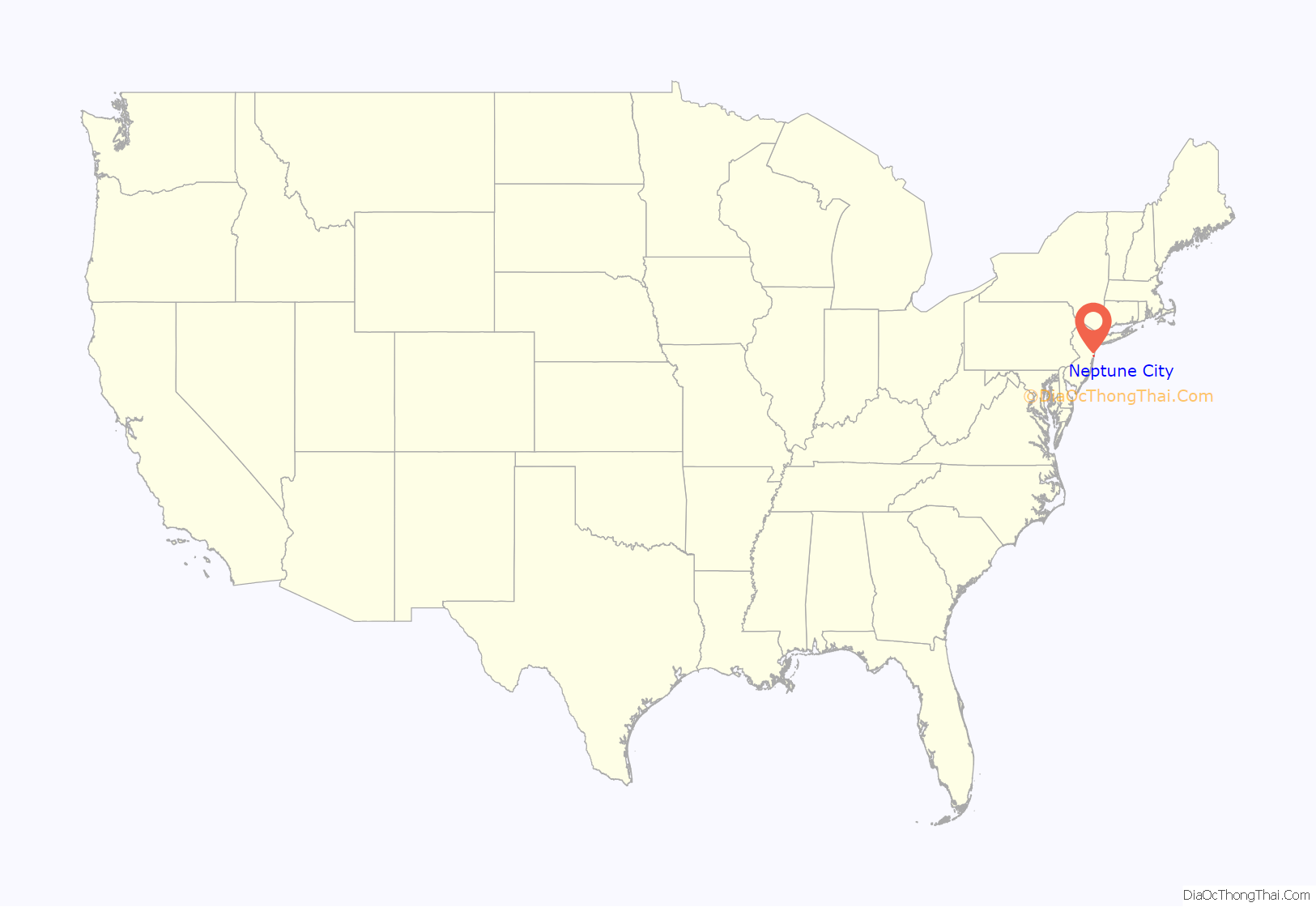
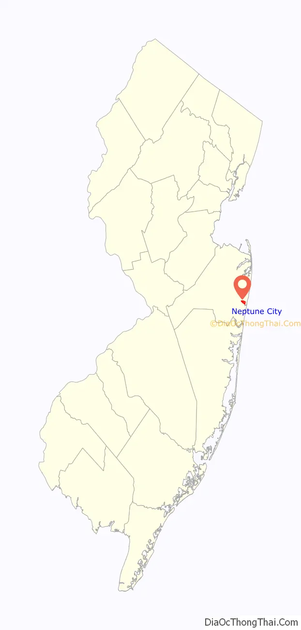
Neptune City location map. Where is Neptune City borough?
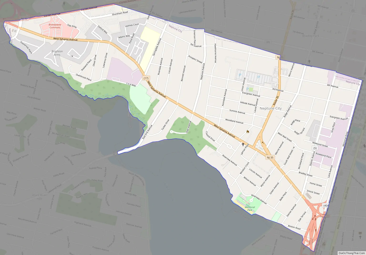
Neptune City Road Map
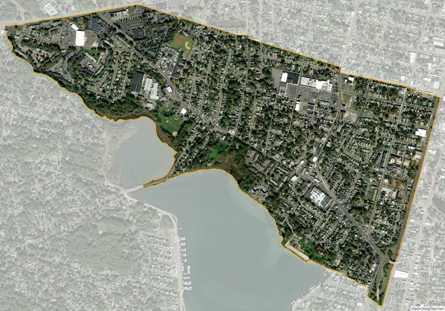
Neptune City city Satellite Map
Geography
According to the United States Census Bureau, the borough had a total area of 0.90 square miles (2.32 km), all of which was land.
Unincorporated communities, localities and place names located partially or completely within the township include Neptune Heights and Ocean Grove Heights.
The borough borders the Monmouth County municipalities of Avon-by-the-Sea, Bradley Beach and Neptune Township.
See also
Map of New Jersey State and its subdivision: Map of other states:- Alabama
- Alaska
- Arizona
- Arkansas
- California
- Colorado
- Connecticut
- Delaware
- District of Columbia
- Florida
- Georgia
- Hawaii
- Idaho
- Illinois
- Indiana
- Iowa
- Kansas
- Kentucky
- Louisiana
- Maine
- Maryland
- Massachusetts
- Michigan
- Minnesota
- Mississippi
- Missouri
- Montana
- Nebraska
- Nevada
- New Hampshire
- New Jersey
- New Mexico
- New York
- North Carolina
- North Dakota
- Ohio
- Oklahoma
- Oregon
- Pennsylvania
- Rhode Island
- South Carolina
- South Dakota
- Tennessee
- Texas
- Utah
- Vermont
- Virginia
- Washington
- West Virginia
- Wisconsin
- Wyoming


