Rumson is a borough in Monmouth County, in the U.S. state of New Jersey, and is part of the New York Metropolitan Area. As of the 2020 United States census, the borough’s population was 7,343, an increase of 221 (+3.1%) from the 2010 census count of 7,122, which in turn reflected a decline of 15 (−0.2%) from 7,137 in 2000.
Rumson was formed by an act of the New Jersey Legislature on March 15, 1907, from portions of Shrewsbury Township, based on results of a referendum held on June 18, 1907.
The borough has been one of the state’s highest-income communities. In the 2013–2017 American Community Survey, Rumson had a median household income of $158,229 (ranked 24th in the state) and included 43.9% of households earning more than $200,000 annually.
Rumson ranked among the highest annual property tax bills in New Jersey, and was the highest in Monmouth County, at $20,602 in 2018, compared to a statewide average of $8,767.
In 2010, Forbes.com listed Rumson as 192nd in its listing of “America’s Most Expensive ZIP Codes”, with a median home price of $1,104,271.
| Name: | Rumson borough |
|---|---|
| LSAD Code: | 21 |
| LSAD Description: | borough (suffix) |
| State: | New Jersey |
| County: | Monmouth County |
| Incorporated: | June 18, 1907 |
| Elevation: | 36 ft (11 m) |
| Total Area: | 7.11 sq mi (18.42 km²) |
| Land Area: | 5.07 sq mi (13.12 km²) |
| Water Area: | 2.04 sq mi (5.30 km²) 28.76% |
| Total Population: | 7,343 |
| Population Density: | 1,449.2/sq mi (559.5/km²) |
| ZIP code: | 07760 |
| Area code: | 732 |
| FIPS code: | 3465130 |
| GNISfeature ID: | 0885381 |
| Website: | www.rumsonnj.gov |
Online Interactive Map
Click on ![]() to view map in "full screen" mode.
to view map in "full screen" mode.
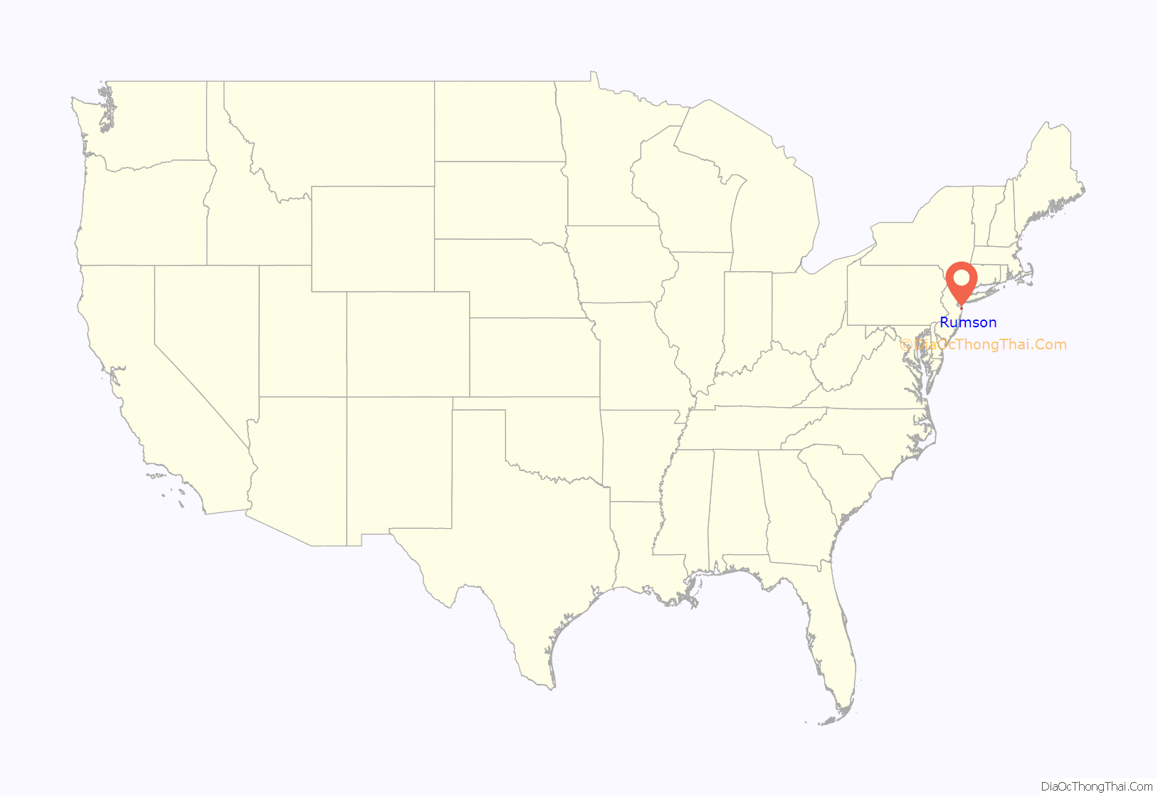
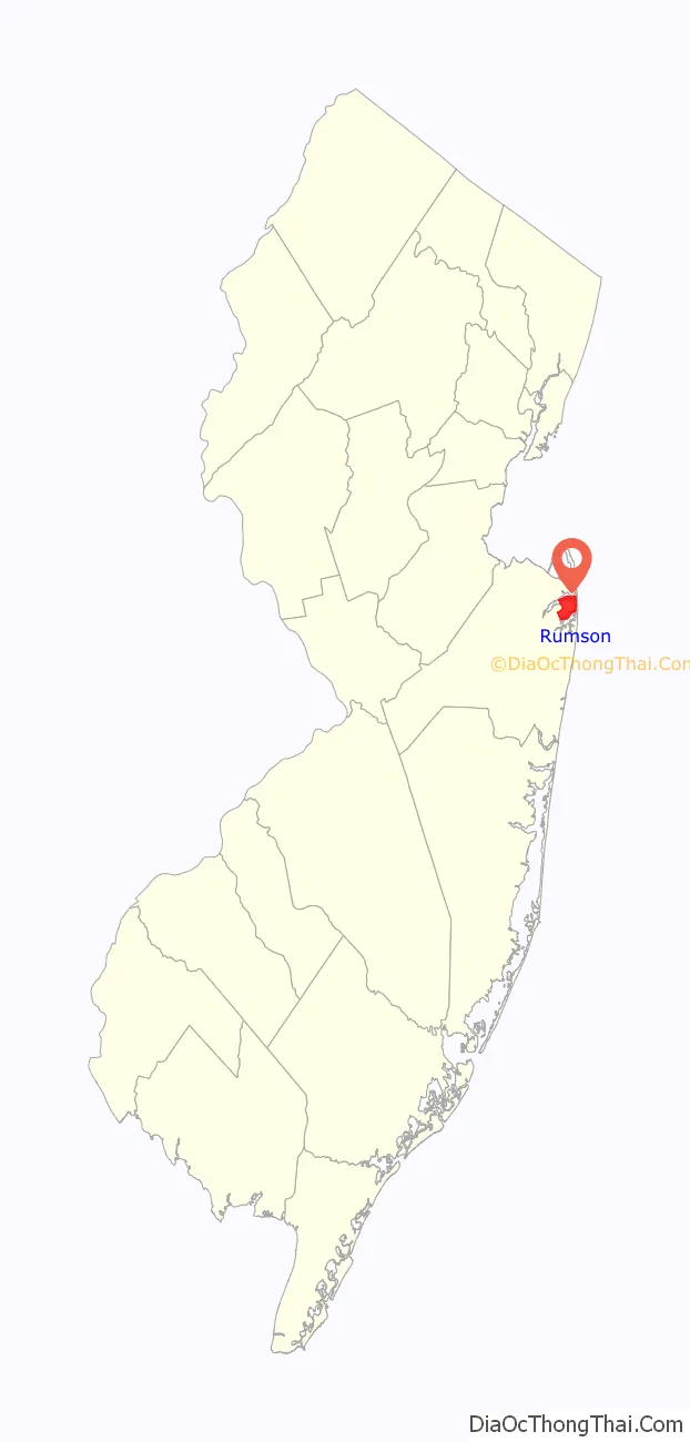
Rumson location map. Where is Rumson borough?
History
Legend has it that the borough’s name is derived from early European settlers who bought the land from the local Lenape Native Americans in exchange for some rum. But as far back as 1663, long before the area was officially named Rumson, Native Americans called it “Navarumsunk”. Over the years it has been shortened to “Rumson”, though sources also talk of a Chief Alumson as a source of the name. Other names Rumson has been known by include Black Point, Port Washington and Oceanic.
Rumson was purchased by English settlers in pieces. The first purchase was dated January 25, 1665, and it included parts of Middletown. The rest of the area was purchased later that year.
Rumson is known for its many sprawling 19th-century estates located along the shores of the Navesink and Shrewsbury rivers and along historic Rumson Road, which serves as one of Rumson’s main thoroughfares. Now an upscale suburb, Rumson was then a summer colony for wealthy New York bankers and industrialists. The oldest of Rumson’s homes was the Tredwell House, named after a family that summered there for almost 100 years. The oldest part of the house was from 1670, and the estate once occupied 700 acres (2.8 km). It was the second-oldest building in Monmouth County when it was destroyed by fire in June 2006.
The Lauriston Mansion, built in 1870 and listed on the National Register of Historic Places in 2002, is a 10,000 square feet (930 m) home constructed in the Colonial Revival style. Originally, the home sat on 39 acres (16 ha) of land, which over the years were parceled out, leaving 6 acres (2.4 ha) of land. Plans have been submitted to demolish the building, which the developer stated could not be renovated, and to replace it with townhomes that would include affordable housing, leading Preservation New Jersey to declare the home “endangered” as of 2020.
In the 19th century, Rumson’s summer residents enjoyed many activities, such as swimming and boating in the adjacent Navesink River and the Atlantic Ocean, or taking wagon rides. In winter, residents used the river for ice boating.
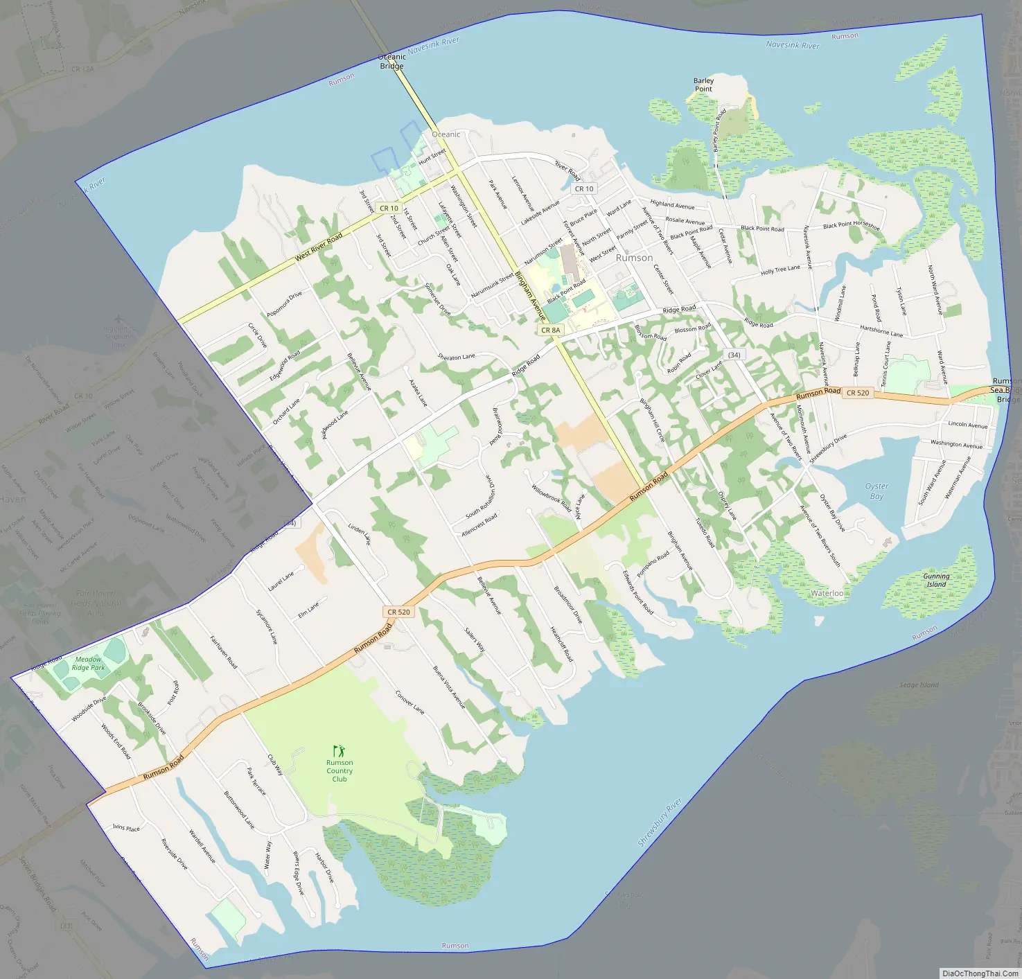
Rumson Road Map
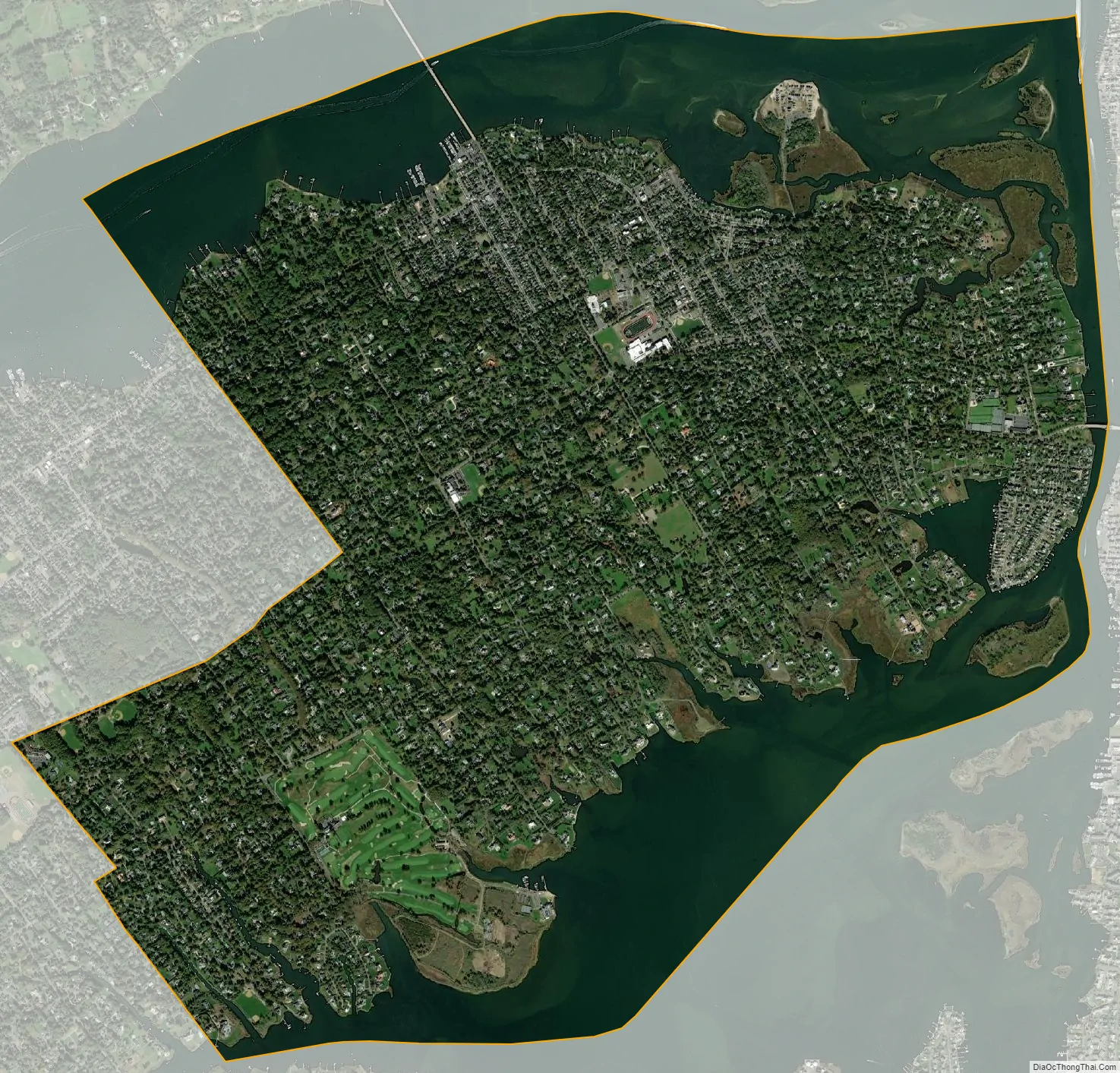
Rumson city Satellite Map
Geography
According to the U.S. Census Bureau, the borough had a total area of 7.11 square miles (18.42 km), including 5.07 square miles (13.12 km) of land and 2.05 square miles (5.30 km) of water (28.76%). It has a humid subtropical climate (Cfa) and average monthly temperatures range from 32.5 °F in January to 75.2 °F in July. [1]
Unincorporated communities, localities and place names located partially or completely within the township include East Oceanic, Elsemere, Oceanic, Rumson Bluffs, Rumson Hills and Waterloo.
The borough borders the Monmouth County municipalities of Fair Haven, Little Silver, Middletown Township, Monmouth Beach and Sea Bright.
See also
Map of New Jersey State and its subdivision: Map of other states:- Alabama
- Alaska
- Arizona
- Arkansas
- California
- Colorado
- Connecticut
- Delaware
- District of Columbia
- Florida
- Georgia
- Hawaii
- Idaho
- Illinois
- Indiana
- Iowa
- Kansas
- Kentucky
- Louisiana
- Maine
- Maryland
- Massachusetts
- Michigan
- Minnesota
- Mississippi
- Missouri
- Montana
- Nebraska
- Nevada
- New Hampshire
- New Jersey
- New Mexico
- New York
- North Carolina
- North Dakota
- Ohio
- Oklahoma
- Oregon
- Pennsylvania
- Rhode Island
- South Carolina
- South Dakota
- Tennessee
- Texas
- Utah
- Vermont
- Virginia
- Washington
- West Virginia
- Wisconsin
- Wyoming


