Sea Girt is a borough situated on the Jersey Shore, within Monmouth County, in the U.S. state of New Jersey. As of the 2020 United States census, the borough’s population was 1,866, an increase of 38 (+2.1%) from the 2010 census count of 1,828, which in turn had reflected a decline of 320 (−14.9%) from the 2,148 counted at the 2000 census.
Sea Girt was formed as a borough by an act of the New Jersey Legislature on March 29, 1917, from portions of Wall Township, based on the results of a referendum held on May 1, 1917. The borough was named for the estate of Comm. Robert F. Stockton, who had purchased a property in the area in 1853.
In the Forbes magazine 2012 rankings of “America’s Most Expensive ZIP Codes”, the borough was ranked 197th, with a median price of $1,135,184.
| Name: | Sea Girt borough |
|---|---|
| LSAD Code: | 21 |
| LSAD Description: | borough (suffix) |
| State: | New Jersey |
| County: | Monmouth County |
| Incorporated: | May 1, 1917 |
| Elevation: | 13 ft (4 m) |
| Total Area: | 1.46 sq mi (3.77 km²) |
| Land Area: | 1.06 sq mi (2.75 km²) |
| Water Area: | 0.40 sq mi (1.03 km²) 27.12% |
| Total Population: | 1,866 |
| Population Density: | 1,759.8/sq mi (679.5/km²) |
| ZIP code: | 08750 |
| Area code: | 732 exchanges: 282, 449, 974 |
| FIPS code: | 3466330 |
| GNISfeature ID: | 0885388 |
| Website: | www.seagirtboro.com |
Online Interactive Map
Click on ![]() to view map in "full screen" mode.
to view map in "full screen" mode.
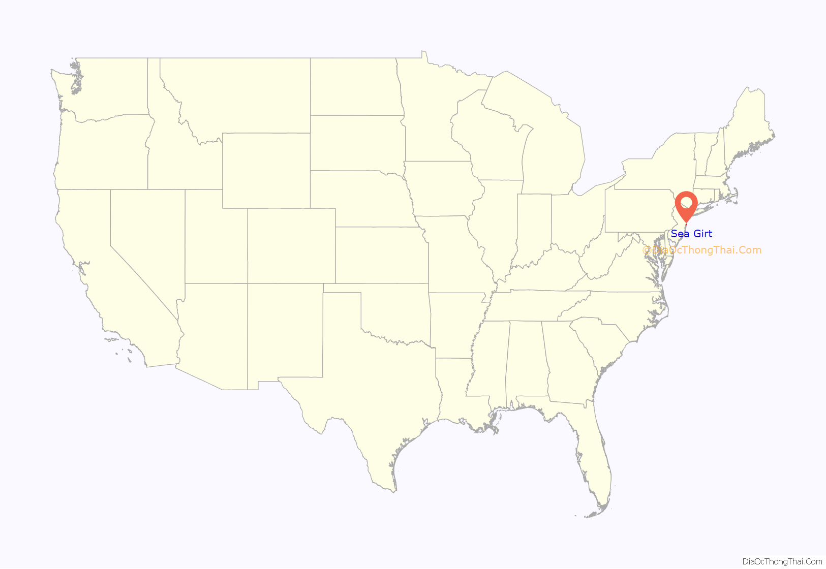
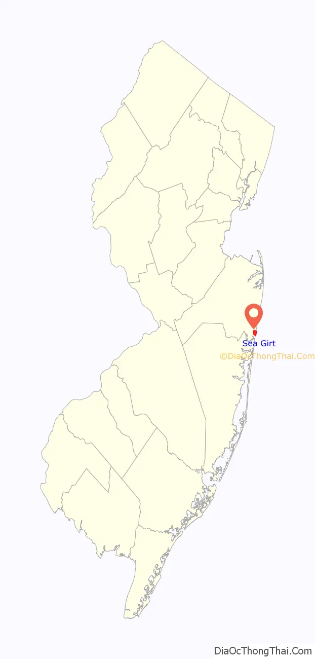
Sea Girt location map. Where is Sea Girt borough?
History
On April 1, 2023, a brief tornado that was part of a tornado outbreak measured EF2 on the Enhanced Fujita scale with winds estimated at 110 to 120 miles per hour (180 to 190 km/h). It blew off the roof of the New Jersey Youth Challenge Academy, with debris strewn up to 250 yards (230 m). Power poles were also damaged and a tree was uprooted.
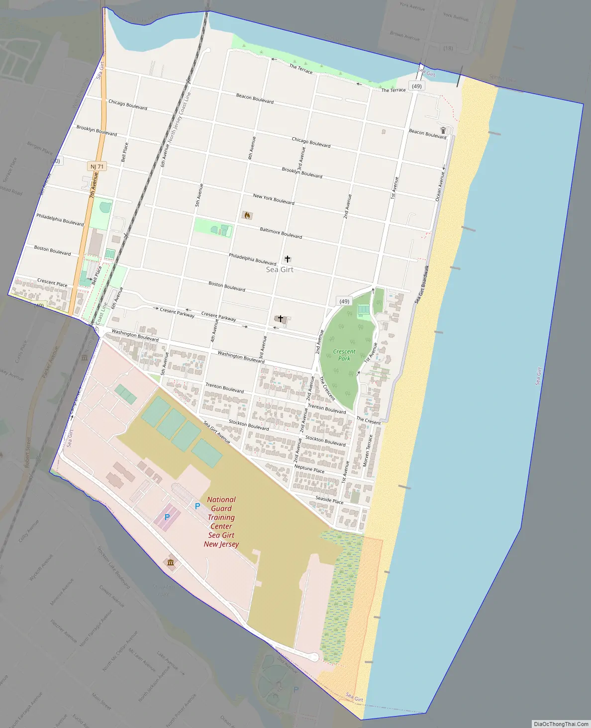
Sea Girt Road Map
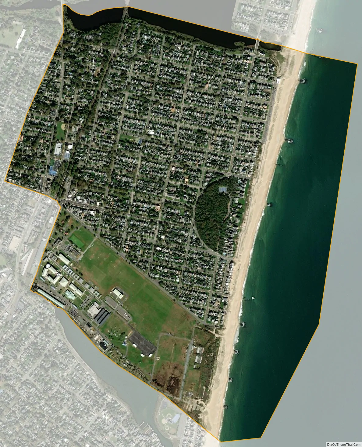
Sea Girt city Satellite Map
Geography
According to the United States Census Bureau, the borough had a total area of 1.46 square miles (3.77 km), including 1.06 square miles (2.75 km) of land and 0.40 square miles (1.03 km) of water (27.12%).
Wreck Pond is a tidal pond located on the coast of the Atlantic Ocean, surrounded by Wall Township and the boroughs of Sea Girt, Spring Lake and Spring Lake Heights. The Wreck Pond watershed covers about 12.8 square miles (33 km) in eastern Monmouth County.
The borough borders the Monmouth County municipalities of Manasquan, Spring Lake, Spring Lake Heights and Wall Township.
See also
Map of New Jersey State and its subdivision: Map of other states:- Alabama
- Alaska
- Arizona
- Arkansas
- California
- Colorado
- Connecticut
- Delaware
- District of Columbia
- Florida
- Georgia
- Hawaii
- Idaho
- Illinois
- Indiana
- Iowa
- Kansas
- Kentucky
- Louisiana
- Maine
- Maryland
- Massachusetts
- Michigan
- Minnesota
- Mississippi
- Missouri
- Montana
- Nebraska
- Nevada
- New Hampshire
- New Jersey
- New Mexico
- New York
- North Carolina
- North Dakota
- Ohio
- Oklahoma
- Oregon
- Pennsylvania
- Rhode Island
- South Carolina
- South Dakota
- Tennessee
- Texas
- Utah
- Vermont
- Virginia
- Washington
- West Virginia
- Wisconsin
- Wyoming


