Smithville is an unincorporated community and census-designated place (CDP) located within Galloway Township, in Atlantic County, in the U.S. state of New Jersey, that was established as part of the 2010 United States Census. Smithville is located 15 miles (24 km) north of and inland from Atlantic City. As of the 2010 Census, the CDP’s population was 7,242.
Although Smithville has existed as a community since the American Revolutionary War, most of the community remained very rural until the 1960s when the Smithville Towne Center, a tourist attraction containing over 80 shops, opened. The Towne Center was expanded to include numerous rides and other shops named “The Village Greene”, which was the centerpiece of a large planned community developed since the 1980s.
| Name: | Smithville CDP |
|---|---|
| LSAD Code: | 57 |
| LSAD Description: | CDP (suffix) |
| State: | New Jersey |
| County: | Atlantic County |
| Elevation: | 13 ft (4 m) |
| Total Area: | 5.055 sq mi (13.091 km²) |
| Land Area: | 5.001 sq mi (12.952 km²) |
| Water Area: | 0.054 sq mi (0.139 km²) 1.06% |
| Total Population: | 7,242 |
| Population Density: | 1,448.2/sq mi (559.2/km²) |
| ZIP code: | 08201, 08205 |
| Area code: | 609 and 640 |
| FIPS code: | 3468190 |
| GNISfeature ID: | 02584030 |
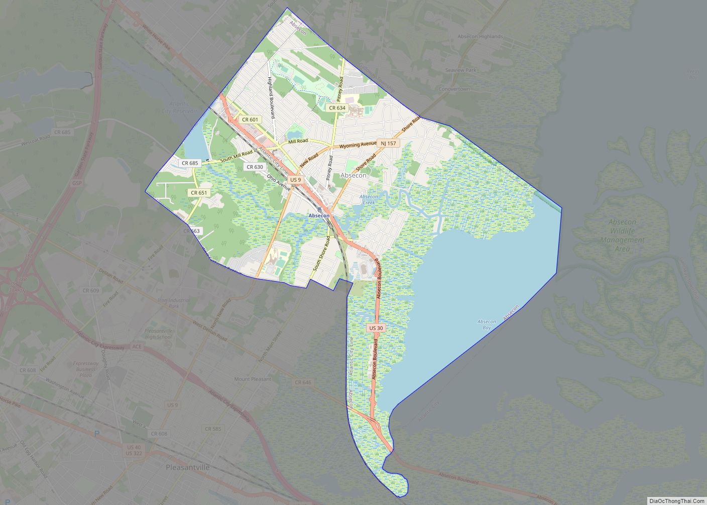
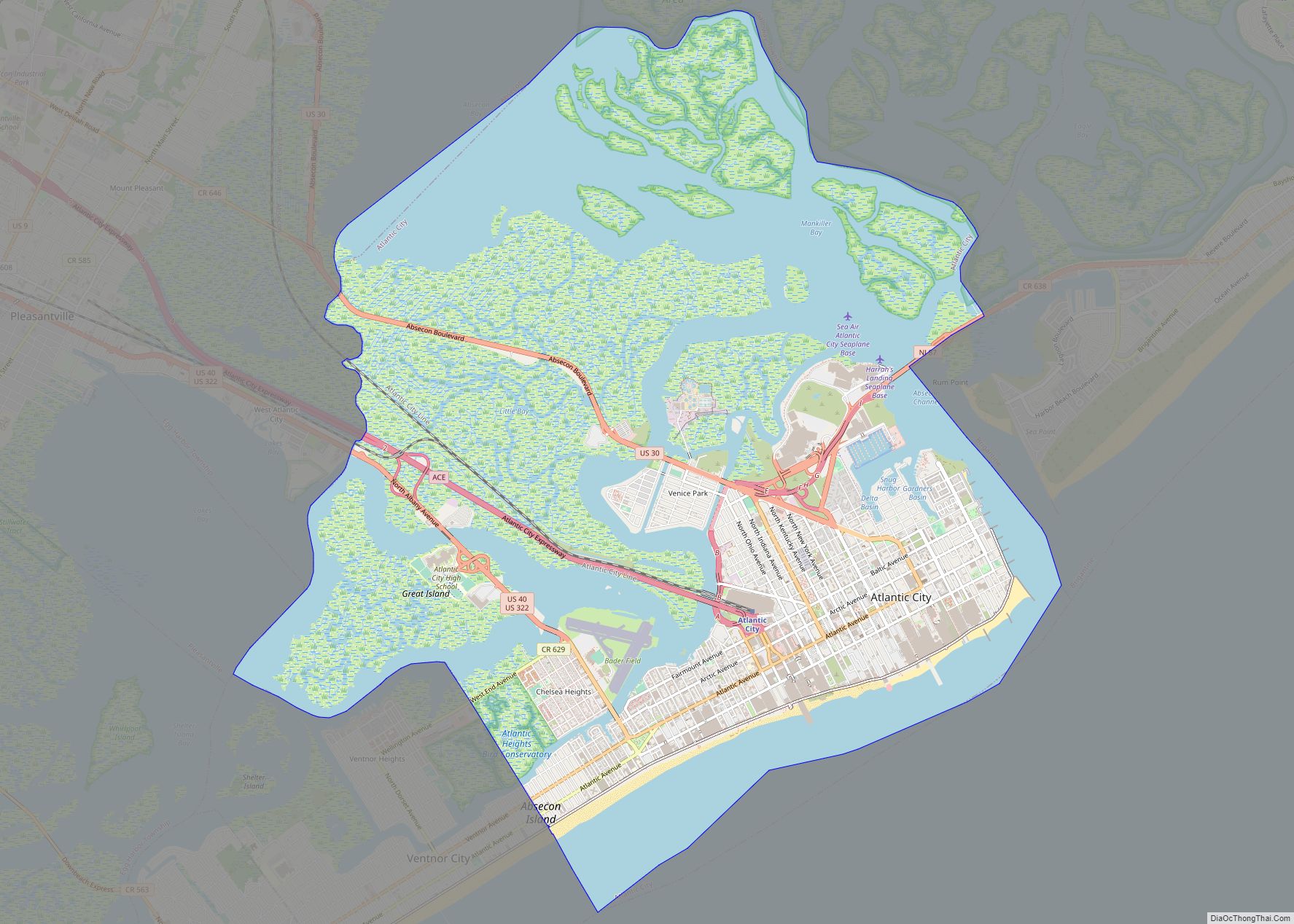
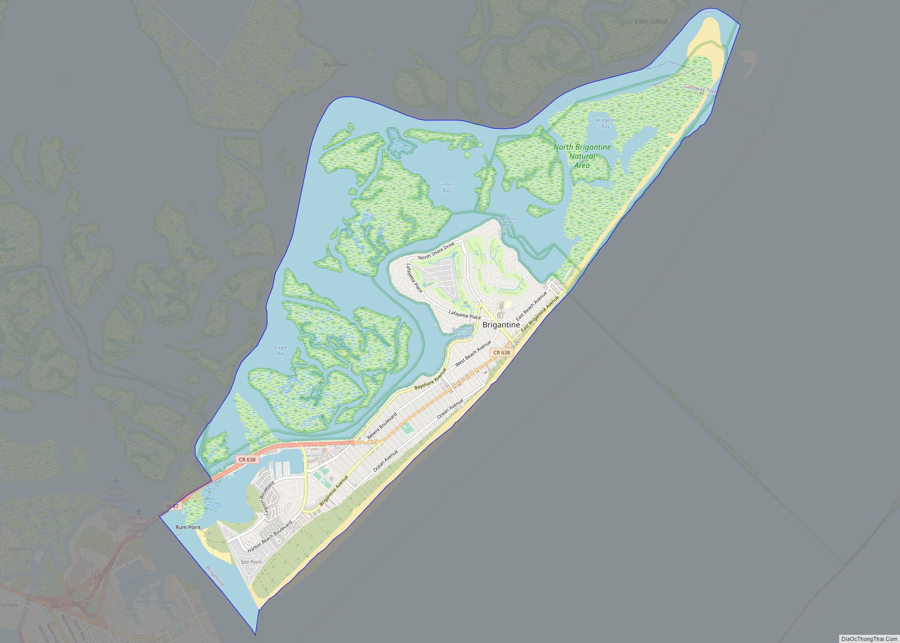
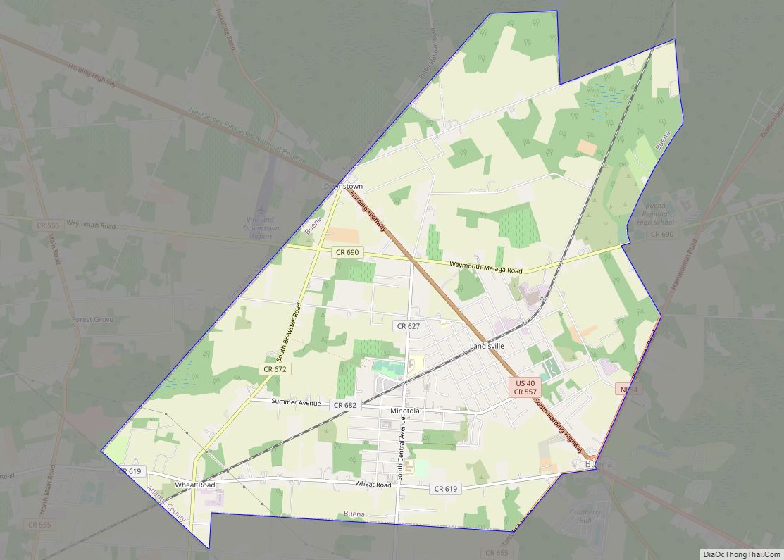
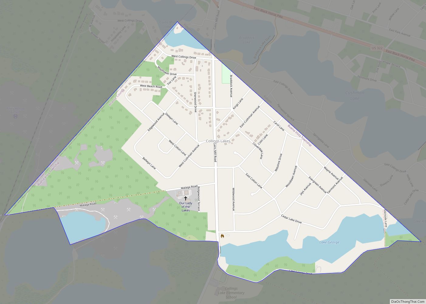
Online Interactive Map
Click on ![]() to view map in "full screen" mode.
to view map in "full screen" mode.
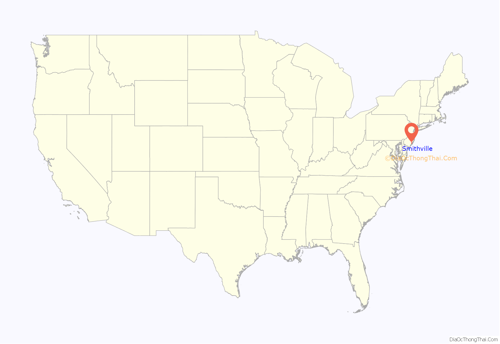
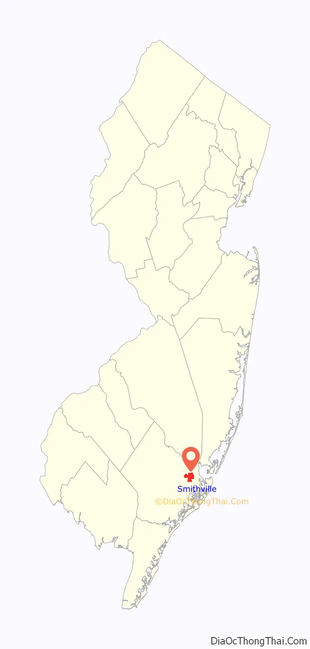
Smithville location map. Where is Smithville CDP?
History
It is in the Smithville in Atlantic County that James Baremore built what is now the Smithville Inn in 1787, a single room along a well-traveled stagecoach route. However, historians debate whether it was originally planned as an inn. The area of Smithville was originally considered part of Leeds / Leeds Point at the time. By 1874 the inn had grown to six times its original size. Its success was well established, but it was eventually abandoned at the turn of the 1900s. In 1952, Ethel and Fred Noyes purchased the inn and restored the building, opening it as a restaurant with 42 seats.
Later history
Around the 1960s, Ethel and Fred Noyes decided to expand the site into a historical attraction, similar to Colonial Williamsburg. Several historic buildings from around South Jersey were brought to the site, restored, and converted into shops and attractions.
In 1990, the newly formed Smithville Development Company began construction on the second part of the Smithville Towne Center, named “The Village Greene”, which includes more stores and other activities, such as paddleboats, miniature golf, a carousel, an old-fashioned steam train, and several other attractions. In addition to The Village Greene, the company embarked on a Planned Unit Development containing 6,800 condominium units. Due to legal disagreements, the number of units was reduced to 4,000. Soon after, a recession forced the construction to stop in 1991, leaving around 1,600 completed units. In 1995, the remaining land was sold to KHovnanian of Red Bank. KHovnanian reduced the number of planned residences from 2,500 condominium units to a 1200-unit retirement community. The project was later renamed “Four Seasons at Historic Smithville”, which was built in several phases.
Smithville Road Map
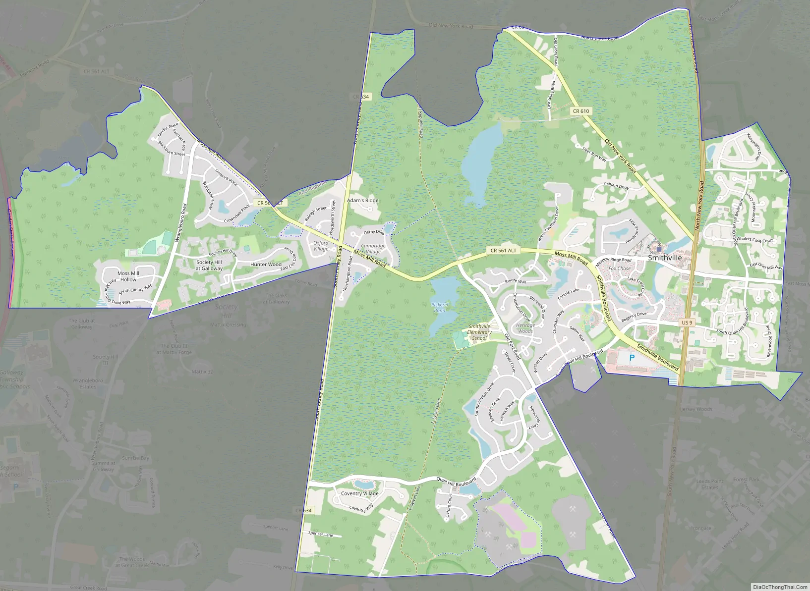
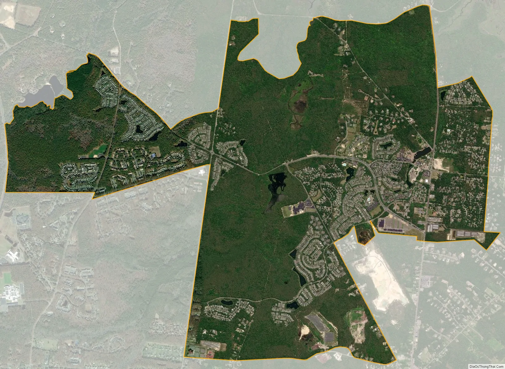
Smithville city Satellite Map
Geography
According to the United States Census Bureau, Smithville had a total area of 5.055 square miles (13.091 km), including 5.001 square miles (12.952 km) of land and 0.054 square miles (0.139 km) of water (1.06%).
Smithville is located in the New Jersey Pine Barrens.
See also
Map of New Jersey State and its subdivision: Map of other states:- Alabama
- Alaska
- Arizona
- Arkansas
- California
- Colorado
- Connecticut
- Delaware
- District of Columbia
- Florida
- Georgia
- Hawaii
- Idaho
- Illinois
- Indiana
- Iowa
- Kansas
- Kentucky
- Louisiana
- Maine
- Maryland
- Massachusetts
- Michigan
- Minnesota
- Mississippi
- Missouri
- Montana
- Nebraska
- Nevada
- New Hampshire
- New Jersey
- New Mexico
- New York
- North Carolina
- North Dakota
- Ohio
- Oklahoma
- Oregon
- Pennsylvania
- Rhode Island
- South Carolina
- South Dakota
- Tennessee
- Texas
- Utah
- Vermont
- Virginia
- Washington
- West Virginia
- Wisconsin
- Wyoming