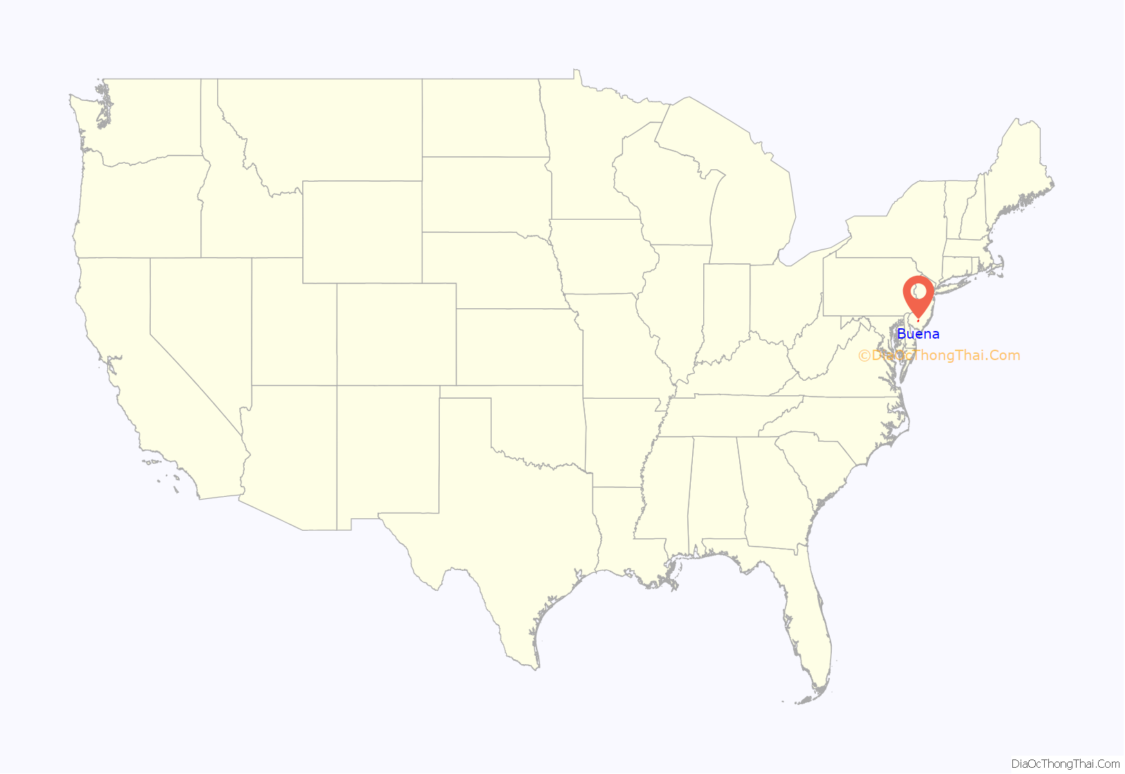
Buena (/ˈbjuːnə/ BEW-nə) is a borough in Atlantic County, in the U.S. state of New Jersey. The borough, and all of Atlantic County, is part of South Jersey and the Atlantic City–Hammonton metropolitan statistical area, which in turn is included in the Philadelphia–Reading–Camden combined statistical area and the Delaware Valley.
As of the 2020 United States Census, the borough’s population was 4,501, a decrease of 102 (−2.2%) from the 2010 census count of 4,603, which in turn reflected an increase of 730 (+18.8%) from the 3,873 counted in the 2000 census.
| Name: | Buena borough |
|---|---|
| LSAD Code: | 21 |
| LSAD Description: | borough (suffix) |
| State: | New Jersey |
| County: | Atlantic County |
| Incorporated: | September 1, 1948 |
| Elevation: | 121 ft (37 m) |
| Total Area: | 7.57 sq mi (19.62 km²) |
| Land Area: | 7.57 sq mi (19.61 km²) |
| Water Area: | 0.00 sq mi (0.00 km²) 0.01% |
| Total Population: | 4,501 |
| Population Density: | 594.4/sq mi (229.5/km²) |
| Area code: | 609, 856 |
| FIPS code: | 3408680 |
| GNISfeature ID: | 0885173 |
| Website: | www.buenaboro.org |
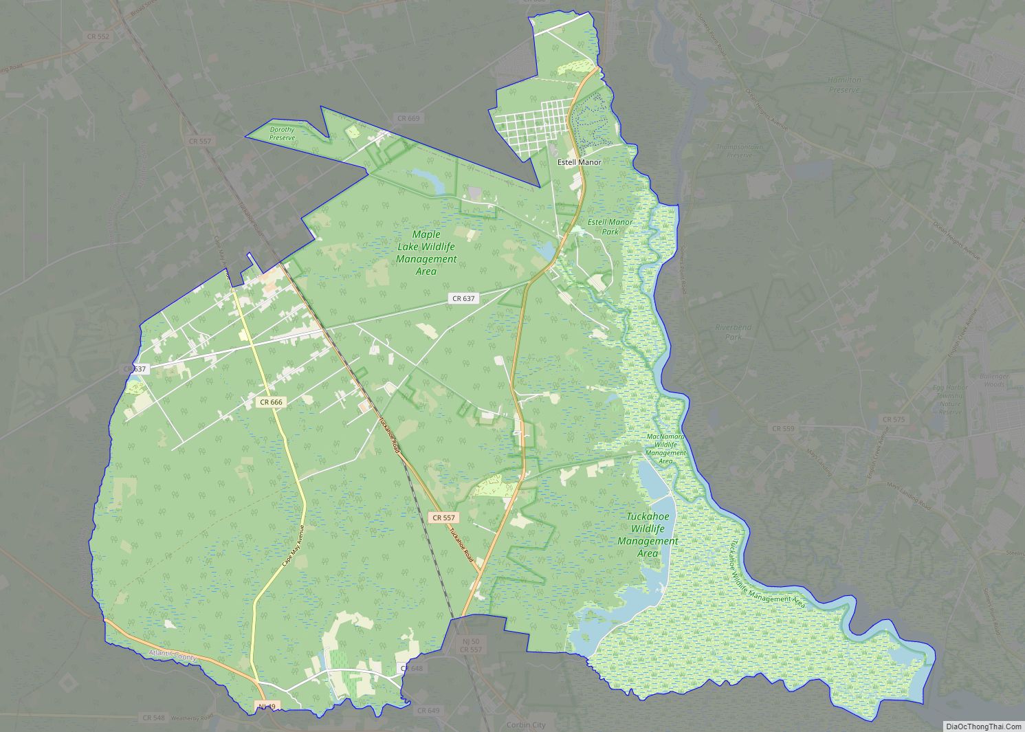
Online Interactive Map
Click on ![]() to view map in "full screen" mode.
to view map in "full screen" mode.
Buena location map. Where is Buena borough?

History
Charles K. Landis was a land developer who was the driving force behind the creation of Hammonton and Vineland. Landis also had a hand in establishing other small communities, including Landisville, in Buena Borough. He planned to make it county seat of a new county called Landis County, which would incorporate land from the surrounding counties. However, the locals were against this, and began calling him “King Landis”.
Buena was incorporated as a borough by an act of the New Jersey Legislature on September 1, 1948, from portions of Buena Vista Township. The borough was reincorporated on May 18, 1949. The borough derives its name from Buena Vista Township, which in turn was named for the 1847 Battle of Buena Vista during the Mexican–American War.
In 1979, local resident Madeline Barrale authored a 115-page book illustrating the borough’s history. Buena Borough celebrated its 50th anniversary in 1999 with the 1st Annual “Buena Day” at Bruno Melini Park. In 2002, the St. Padre Pio Shrine was erected by Italian-American farmers in the Landisville section of Buena and has attracted what was described by The New York Times as a “steady stream of Catholics” who come to pray at the site.
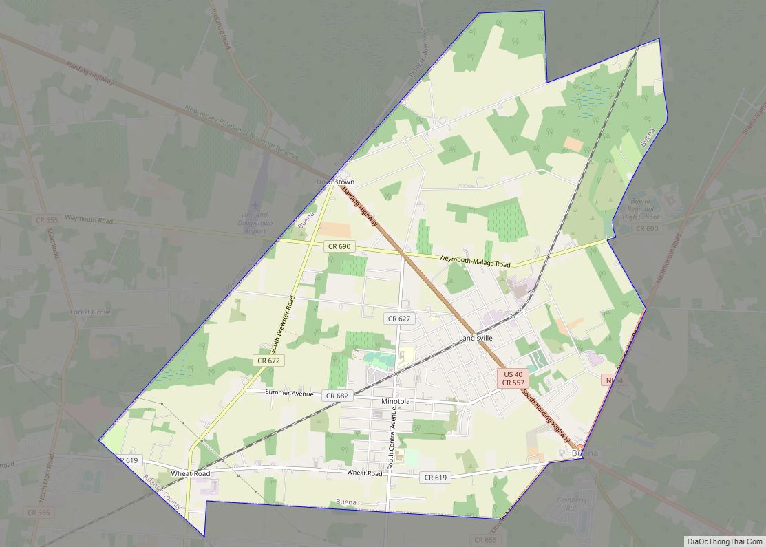
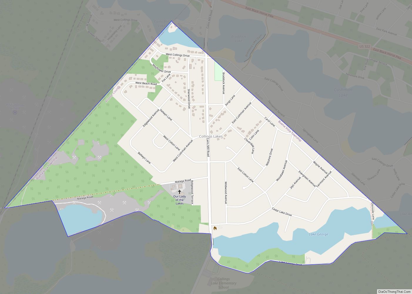
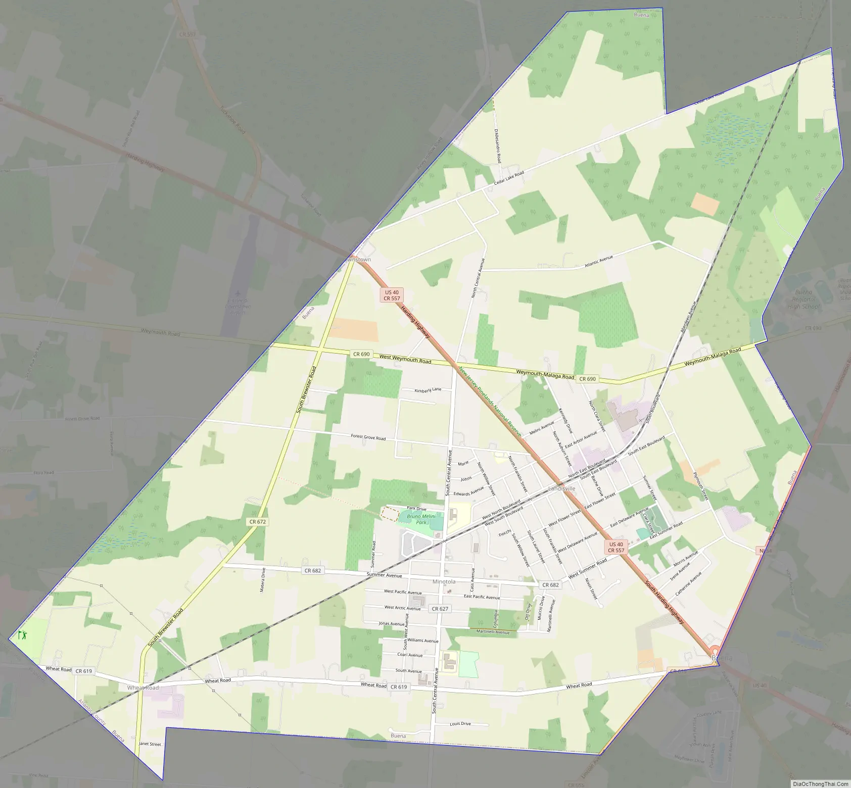
Buena Road Map
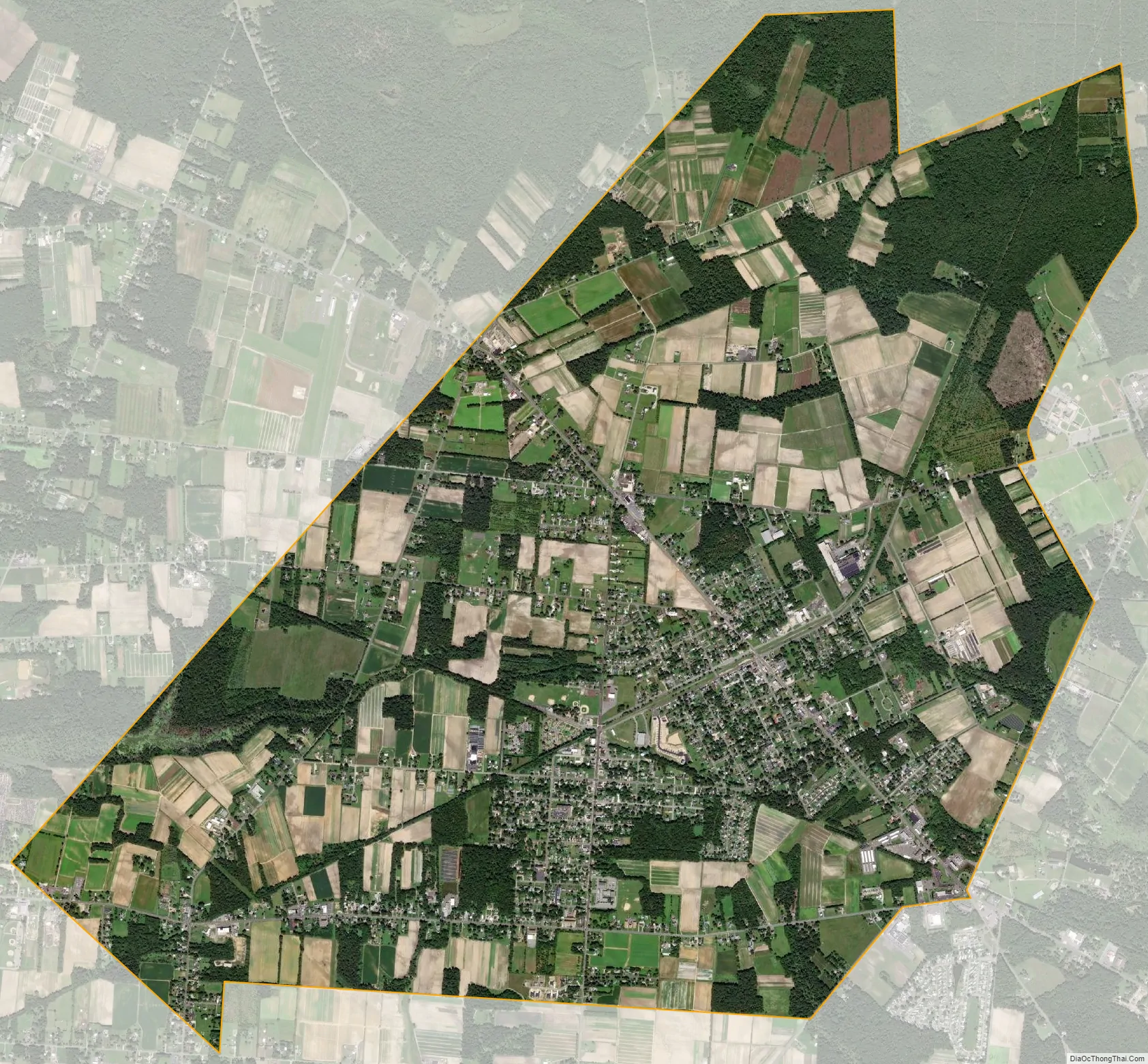
Buena city Satellite Map
Geography
According to the United States Census Bureau, the borough had a total area of 7.57 square miles (19.62 km), including 7.57 square miles (19.61 km) of land and <0.01 square miles (<0.01 km) of water (0.01%).
Unincorporated communities, localities and place names located partially or completely within the borough include Landisville and Minotola, each of which had postal facilities established with those names in 1871 and 1897, respectively.
The borough borders the municipalities of Buena Vista Township in Atlantic County; Vineland in Cumberland County; and Franklin Township in Gloucester County.
The borough is one of 56 South Jersey municipalities that are included within the New Jersey Pinelands National Reserve, a protected natural area of unique ecology covering 1,100,000 acres (450,000 ha), that has been classified as a United States Biosphere Reserve and established by Congress in 1978 as the nation’s first National Reserve. Part of the borough is included in the state-designated Pinelands Area, which includes portions of Atlantic County, along with areas in Burlington, Camden, Cape May, Cumberland, Gloucester and Ocean counties.
Unexpected Road was named the seventh wackiest street name according to a 2006 poll by Car Connection website.
See also
Map of New Jersey State and its subdivision: Map of other states:- Alabama
- Alaska
- Arizona
- Arkansas
- California
- Colorado
- Connecticut
- Delaware
- District of Columbia
- Florida
- Georgia
- Hawaii
- Idaho
- Illinois
- Indiana
- Iowa
- Kansas
- Kentucky
- Louisiana
- Maine
- Maryland
- Massachusetts
- Michigan
- Minnesota
- Mississippi
- Missouri
- Montana
- Nebraska
- Nevada
- New Hampshire
- New Jersey
- New Mexico
- New York
- North Carolina
- North Dakota
- Ohio
- Oklahoma
- Oregon
- Pennsylvania
- Rhode Island
- South Carolina
- South Dakota
- Tennessee
- Texas
- Utah
- Vermont
- Virginia
- Washington
- West Virginia
- Wisconsin
- Wyoming