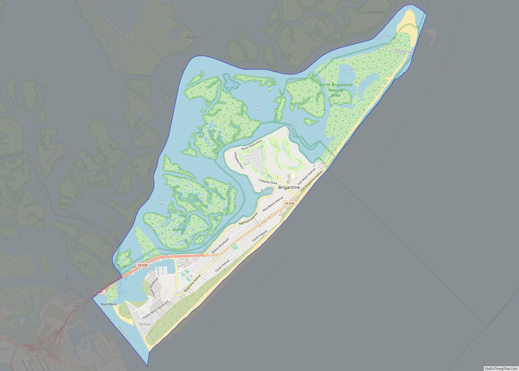
Brigantine (or simply The Island) is a city in Atlantic County in the U.S. state of New Jersey. As of the 2020 United States Census, the city’s population was 7,716, a decrease of 1,734 (−18.3%) from the 2010 census count of 9,450, which in turn reflected a decline of 3,144 (−25.0%) from the 12,594 counted in the 2000 census. The city, and all of Atlantic County, is part of the Atlantic City–Hammonton metropolitan statistical area, which in turn is included in the Philadelphia–Reading–Camden combined statistical area and the Delaware Valley.
What is now the City of Brigantine has passed through a series of names and re-incorporations since it was first created. The area was originally incorporated as Brigantine Beach Borough by an act of the New Jersey Legislature on June 14, 1890, from portions of Galloway Township, based on the results of a referendum held on June 3, 1890. On April 23, 1897, the area was reincorporated as the City of Brigantine City. This name lasted until April 9, 1914, when it was renamed the City of East Atlantic City. On March 16, 1924, Brigantine was incorporated as a city, replacing East Atlantic City and incorporating further portions of Galloway Township. The borough was named for the many shipwrecks in the area, including those of brigantines.
New Jersey Monthly magazine ranked Brigantine as its 36th best place to live in its 2008 rankings of the “Best Places To Live” in New Jersey. NJ.com designated Brigantine fourth in its rankings of “The 25 best Jersey Shore towns, ranked” in 2021.
| Name: | Brigantine city |
|---|---|
| LSAD Code: | 25 |
| LSAD Description: | city (suffix) |
| State: | New Jersey |
| County: | Atlantic County |
| Incorporated: | June 14, 1890 |
| Elevation: | 0 ft (0 m) |
| Total Area: | 10.86 sq mi (28.14 km²) |
| Land Area: | 6.52 sq mi (16.89 km²) |
| Water Area: | 4.34 sq mi (11.24 km²) 39.98% |
| Total Population: | 7,716 |
| Population Density: | 1,183.1/sq mi (456.8/km²) |
| ZIP code: | 08203 |
| Area code: | 609 exchanges: 264, 266 |
| FIPS code: | 3407810 |
| GNISfeature ID: | 0885171 |
| Website: | www.brigantinebeach.org |
Online Interactive Map
Click on ![]() to view map in "full screen" mode.
to view map in "full screen" mode.
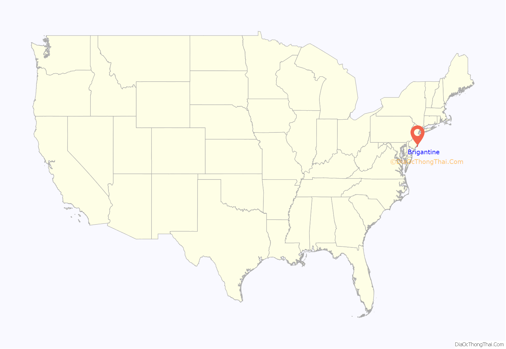
Brigantine location map. Where is Brigantine city?
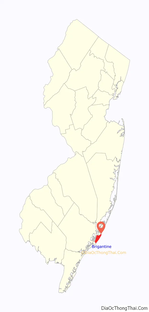
Brigantine Road Map
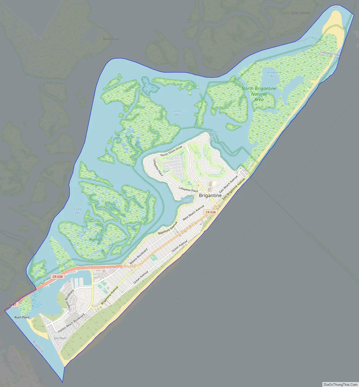
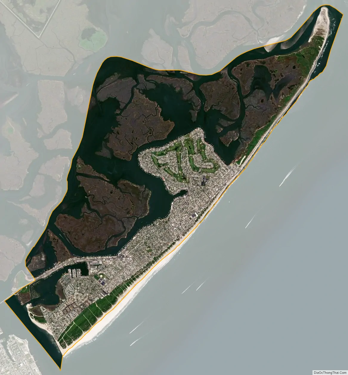
Brigantine city Satellite Map
Geography
According to the U.S. Census Bureau, the city had a total area of 10.86 square miles (28.14 km), including 6.52 square miles (16.89 km) of land and 4.34 square miles (11.25 km) of water (39.98%). Brigantine is located on Brigantine Island.
The only road to and from Brigantine is New Jersey Route 87, locally known as Brigantine Boulevard. The Justice Vincent S. Haneman Memorial Bridge is the only way on and off the island. The original bridge to the island that was constructed in 1924 was destroyed in the Great Atlantic Hurricane of 1944. The current bridge was constructed in 1972.
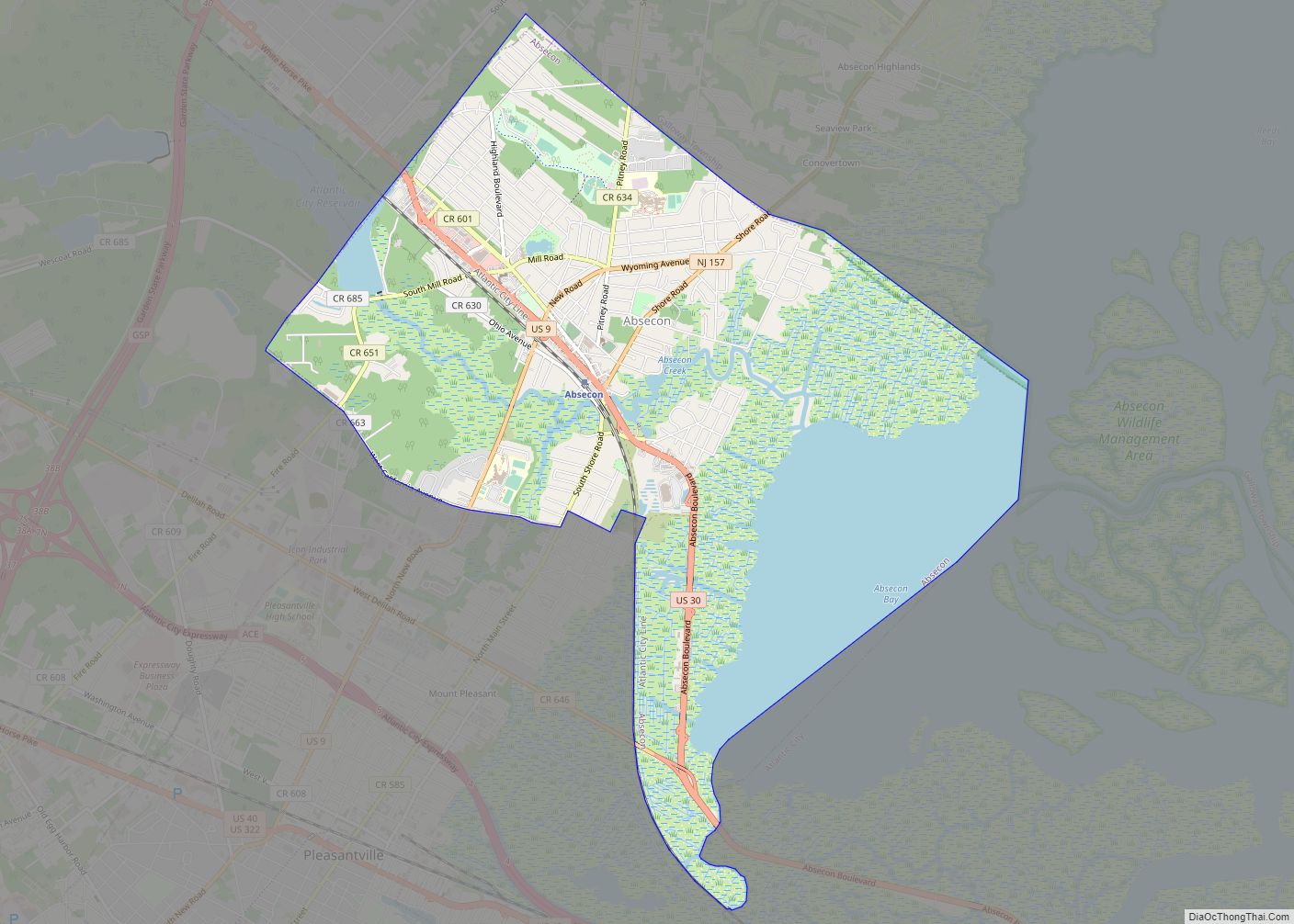
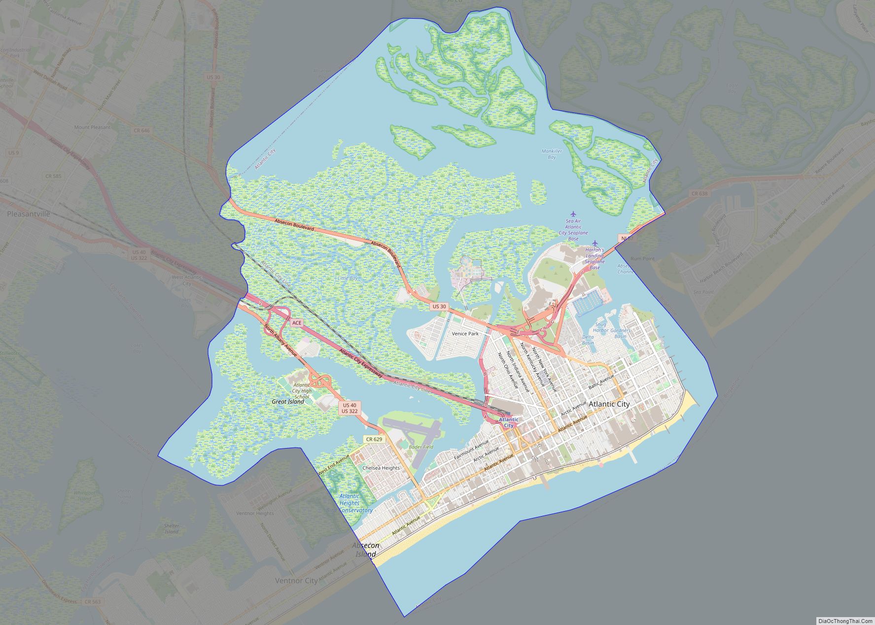
The city borders the Atlantic County municipalities of Atlantic City and Galloway Township.
See also
Map of New Jersey State and its subdivision: Map of other states:- Alabama
- Alaska
- Arizona
- Arkansas
- California
- Colorado
- Connecticut
- Delaware
- District of Columbia
- Florida
- Georgia
- Hawaii
- Idaho
- Illinois
- Indiana
- Iowa
- Kansas
- Kentucky
- Louisiana
- Maine
- Maryland
- Massachusetts
- Michigan
- Minnesota
- Mississippi
- Missouri
- Montana
- Nebraska
- Nevada
- New Hampshire
- New Jersey
- New Mexico
- New York
- North Carolina
- North Dakota
- Ohio
- Oklahoma
- Oregon
- Pennsylvania
- Rhode Island
- South Carolina
- South Dakota
- Tennessee
- Texas
- Utah
- Vermont
- Virginia
- Washington
- West Virginia
- Wisconsin
- Wyoming