Spring Lake Heights is a borough located in the southern coastal portion of Monmouth County, in the U.S. state of New Jersey. As of the 2020 United States census, the borough’s population was 4,890, an increase of 177 (+3.8%) from the 2010 census count of 4,713, which in turn reflected a decline of 514 (−9.8%) from the 5,227 counted in the 2000 census.
The borough of Spring Lake Heights was formed by an act of the New Jersey Legislature on March 19, 1927, from portions of Wall Township, based on the results of a referendum held on May 3, 1927. The borough was named for Spring Lake, which was named for a clear spring-fed lake.
| Name: | Spring Lake Heights borough |
|---|---|
| LSAD Code: | 21 |
| LSAD Description: | borough (suffix) |
| State: | New Jersey |
| County: | Monmouth County |
| Incorporated: | March 19, 1927 |
| Elevation: | 23 ft (7 m) |
| Total Area: | 1.32 sq mi (3.43 km²) |
| Land Area: | 1.29 sq mi (3.35 km²) |
| Water Area: | 0.03 sq mi (0.08 km²) 2.26% |
| Total Population: | 4,890 |
| Population Density: | 3,776.8/sq mi (1,458.2/km²) |
| ZIP code: | 07762 |
| Area code: | 732 exchanges: 282, 449, 974 |
| FIPS code: | 3470140 |
| GNISfeature ID: | 0885407 |
| Website: | www.springlakehts.com |
Online Interactive Map
Click on ![]() to view map in "full screen" mode.
to view map in "full screen" mode.
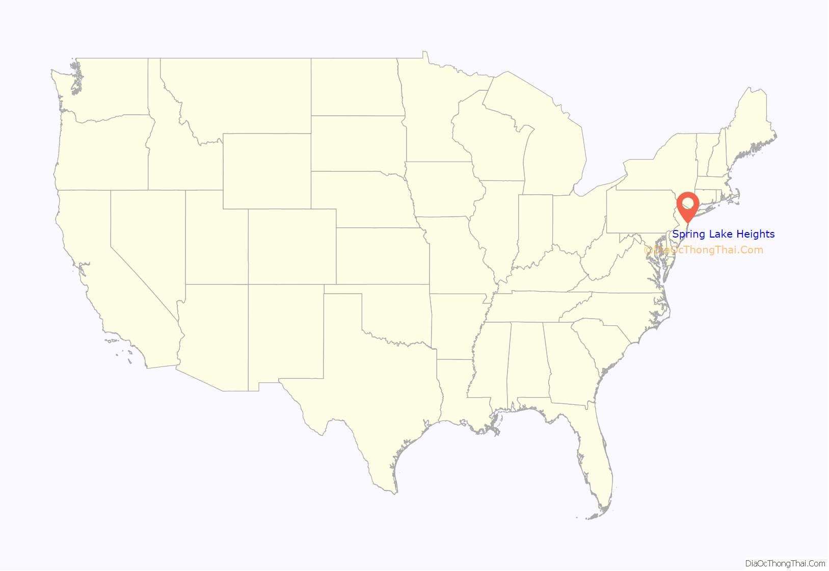
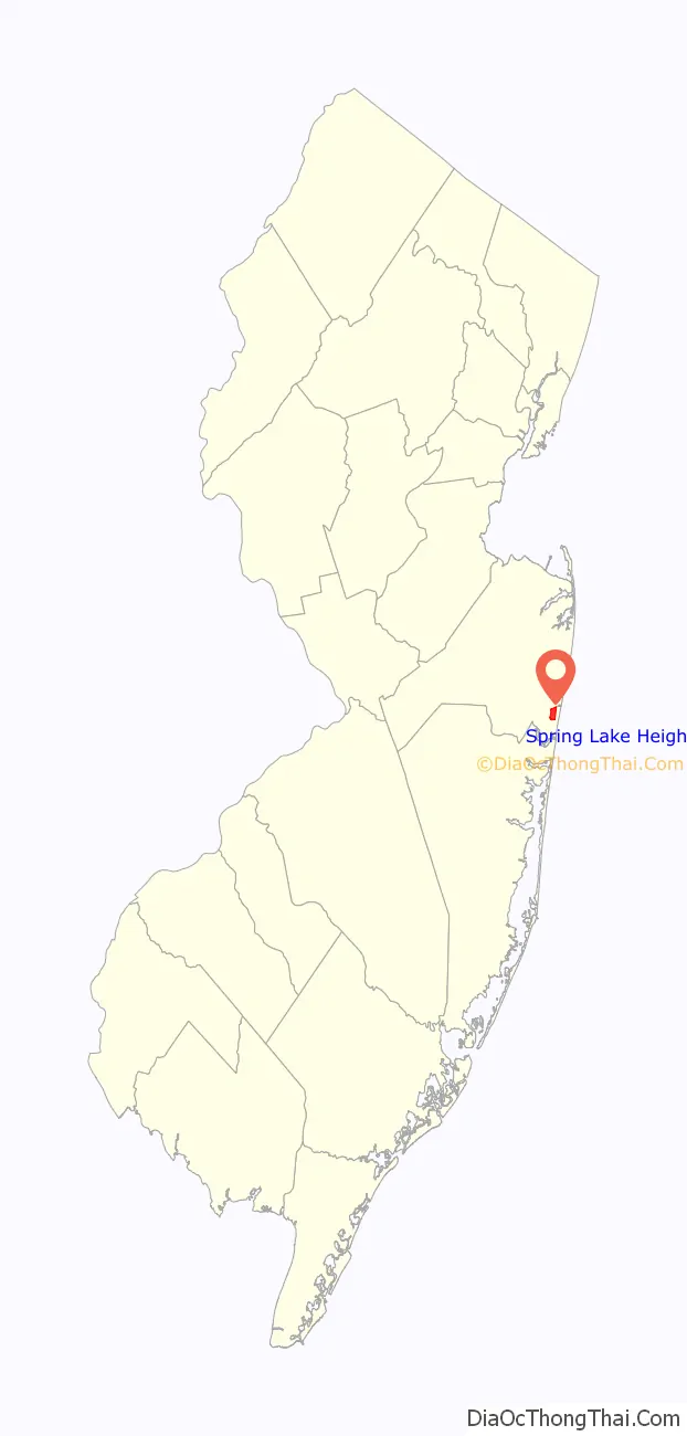
Spring Lake Heights location map. Where is Spring Lake Heights borough?
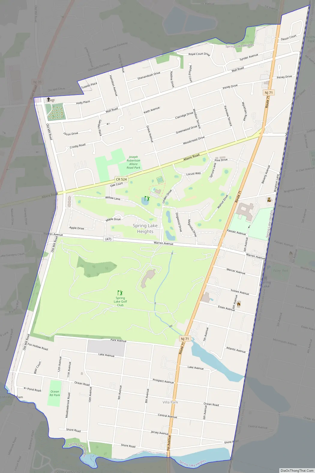
Spring Lake Heights Road Map
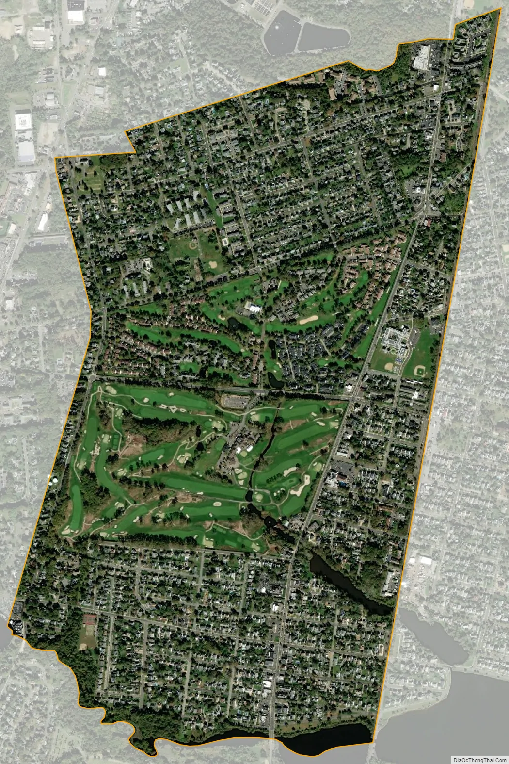
Spring Lake Heights city Satellite Map
Geography
According to the United States Census Bureau, the borough had a total area of 1.5 square miles (3.43 km), including 1.30 square miles (3.35 km) of land and 0.03 square miles (0.08 km) of water (2.26%).
Wreck Pond is a tidal pond located on the coast of the Atlantic Ocean, surrounded by Wall Township and the boroughs of Spring Lake, Spring Lake Heights, and Sea Girt. The Wreck Pond watershed covers about 12.8 square miles (33 km) in eastern Monmouth County.
The borough borders the Monmouth County municipalities of Lake Como, Sea Girt, Spring Lake and Wall Township.
Unincorporated communities, localities and place names located partially or completely within the borough include Villa Park.
See also
Map of New Jersey State and its subdivision: Map of other states:- Alabama
- Alaska
- Arizona
- Arkansas
- California
- Colorado
- Connecticut
- Delaware
- District of Columbia
- Florida
- Georgia
- Hawaii
- Idaho
- Illinois
- Indiana
- Iowa
- Kansas
- Kentucky
- Louisiana
- Maine
- Maryland
- Massachusetts
- Michigan
- Minnesota
- Mississippi
- Missouri
- Montana
- Nebraska
- Nevada
- New Hampshire
- New Jersey
- New Mexico
- New York
- North Carolina
- North Dakota
- Ohio
- Oklahoma
- Oregon
- Pennsylvania
- Rhode Island
- South Carolina
- South Dakota
- Tennessee
- Texas
- Utah
- Vermont
- Virginia
- Washington
- West Virginia
- Wisconsin
- Wyoming


