Swedesboro is a borough in Gloucester County in the U.S. state of New Jersey. As of the 2020 United States census, the borough’s population was 2,711, an increase of 127 (+4.9%) from the 2010 census count of 2,584, which in turn reflected an increase of 529 (+25.7%) from the 2,055 counted in the 2000 census.
Swedesboro was formed as a borough by an act of the New Jersey Legislature on April 9, 1902, from portions of Woolwich Township. The borough was named for its early settlers from Sweden.
Swedesboro has been recognized by the National Arbor Day Foundation as a Tree City USA since 2000.
| Name: | Swedesboro borough |
|---|---|
| LSAD Code: | 21 |
| LSAD Description: | borough (suffix) |
| State: | New Jersey |
| County: | Gloucester County |
| Incorporated: | April 9, 1902 |
| Elevation: | 46 ft (14 m) |
| Total Area: | 0.77 sq mi (1.99 km²) |
| Land Area: | 0.73 sq mi (1.89 km²) |
| Water Area: | 0.04 sq mi (0.09 km²) 4.55% |
| Total Population: | 2,711 |
| Population Density: | 3,707.4/sq mi (1,431.4/km²) |
| ZIP code: | 08085 |
| Area code: | 856 Exchanges: 241, 467 |
| FIPS code: | 3471850 |
| GNISfeature ID: | 0885415 |
| Website: | www.historicswedesboro.com |
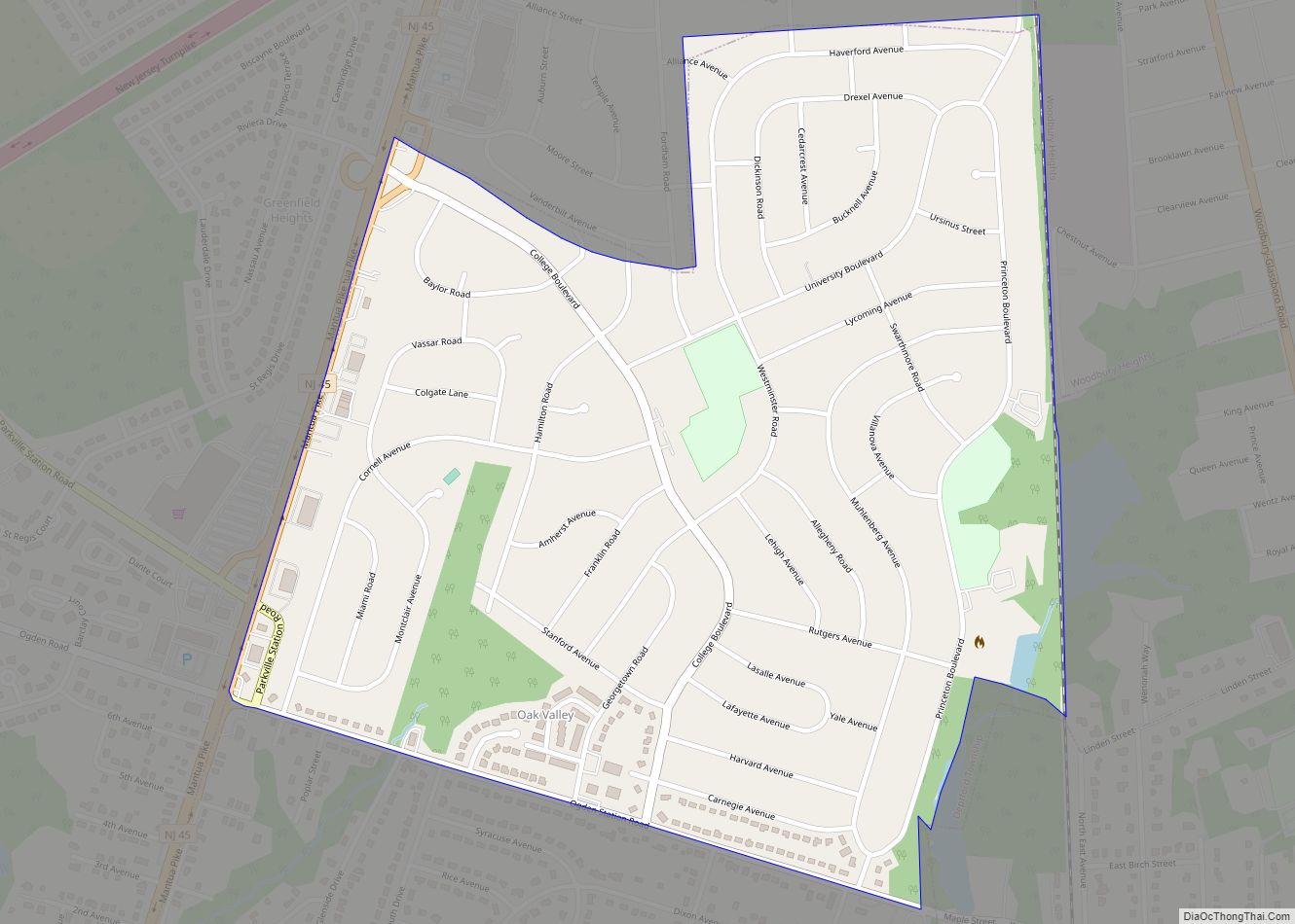
Online Interactive Map
Click on ![]() to view map in "full screen" mode.
to view map in "full screen" mode.
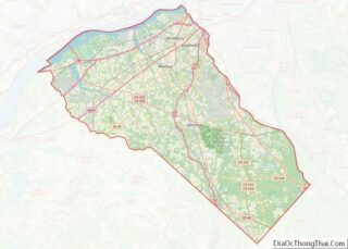
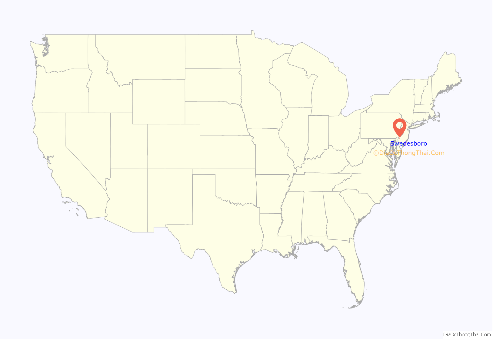
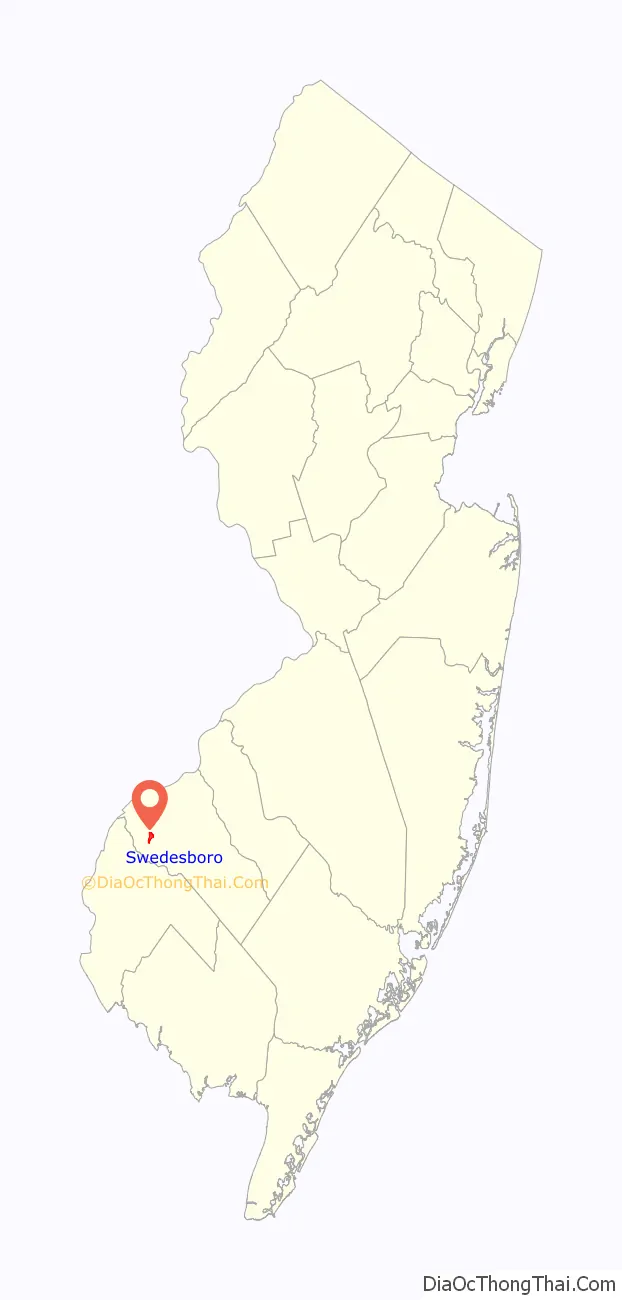
Swedesboro location map. Where is Swedesboro borough?
History
Originally populated by the Lenape Native Americans, Swedesboro was settled as part of New Sweden around 1650. The Swedes and Finns were fishermen, hunters and farmers.
Swedesboro, initially named Sveaborg by the Swedish settlers, along with Bridgeport (Nya Stockholm) and Finns Point (Varkens Kill), was one of only three settlements established in New Jersey as a part of the New Sweden colony. The oldest extant log cabin in the U.S., C. A. Nothnagle Log House (c. 1640) was built by Antti Niilonpoika (Anthony Neilson/Nelson) in Swedesboro. It is listed on the National Register of Historic Places, as is Trinity Episcopal “Old Swedes” Church, which was established as a Swedish Lutheran Church in 1703; the present building dates to 1784.
As a result of the Second Northern War, New Sweden passed into Dutch hands in 1655. In 1667, the English subsequently annexed the region along the Delaware River after the Second Anglo-Dutch War. The English Colonial government needed a road between the communities of Burlington and Salem and built the Kings Highway in 1691, which opened the southern portion of Gloucester County to more settlers, who were drawn to the area by the fertile sandy soil, prime farmland and vast tracts of oak, birch, maple and pine trees. Originally, the community was called Raccoon until it was changed to Swedesboro in 1765.
Through the late 1800s, Raccoon Creek, which runs for 22.6 miles (36.4 km), was a navigable water route that was naturally deep enough to transport wood and farm produce to Philadelphia via the Delaware River. The creek was named for the Narraticon Native Americans who lived in the area and gave their name as Raccoon to the first European settlement. The Van Leer Log Cabin was once used as a trading post with Native Americans and later a station for the Underground Railroad to help slaves escape to free negro communities.
Trinity Church Cemetery is the burial place of Governor of New Jersey Charles C. Stratton, Congressman Benjamin Franklin Howey, and other notables.
Carl XVI Gustaf, King of Sweden, visited the borough as part of a 1976 tour of the United States.
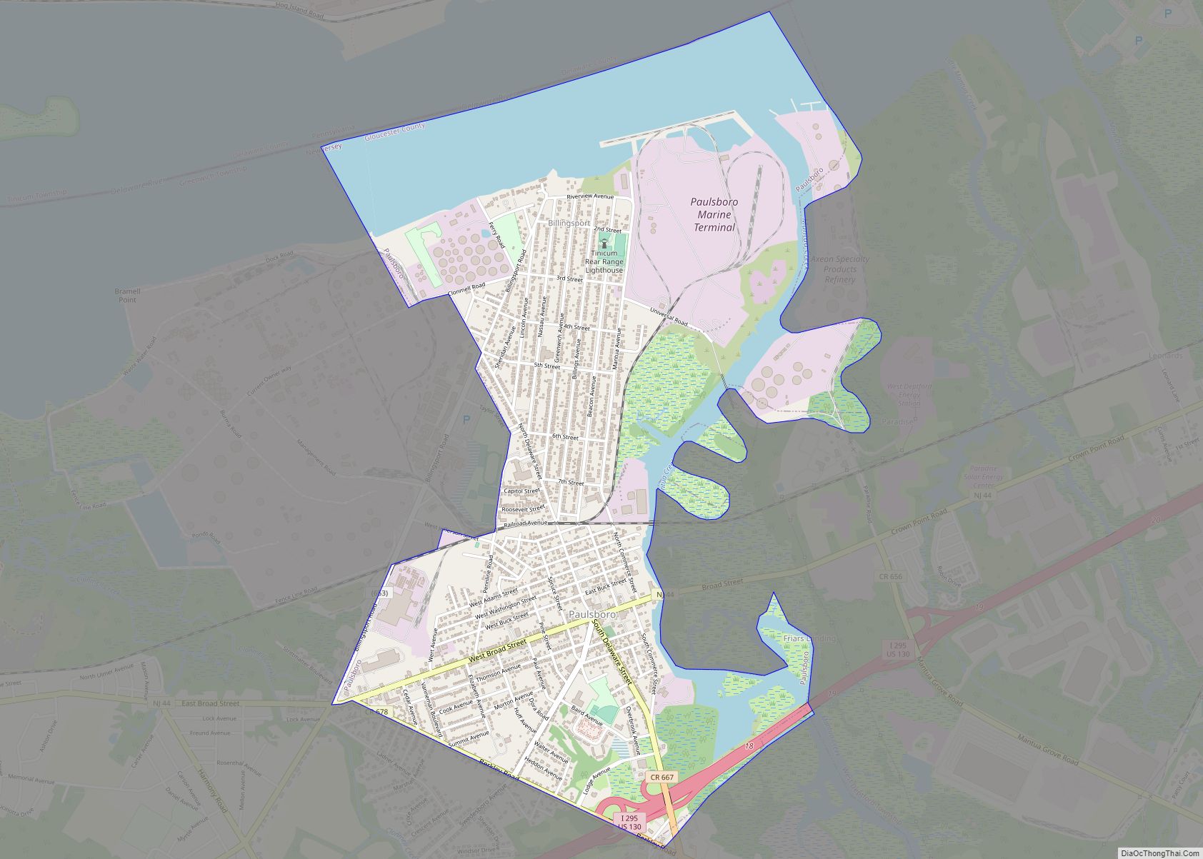
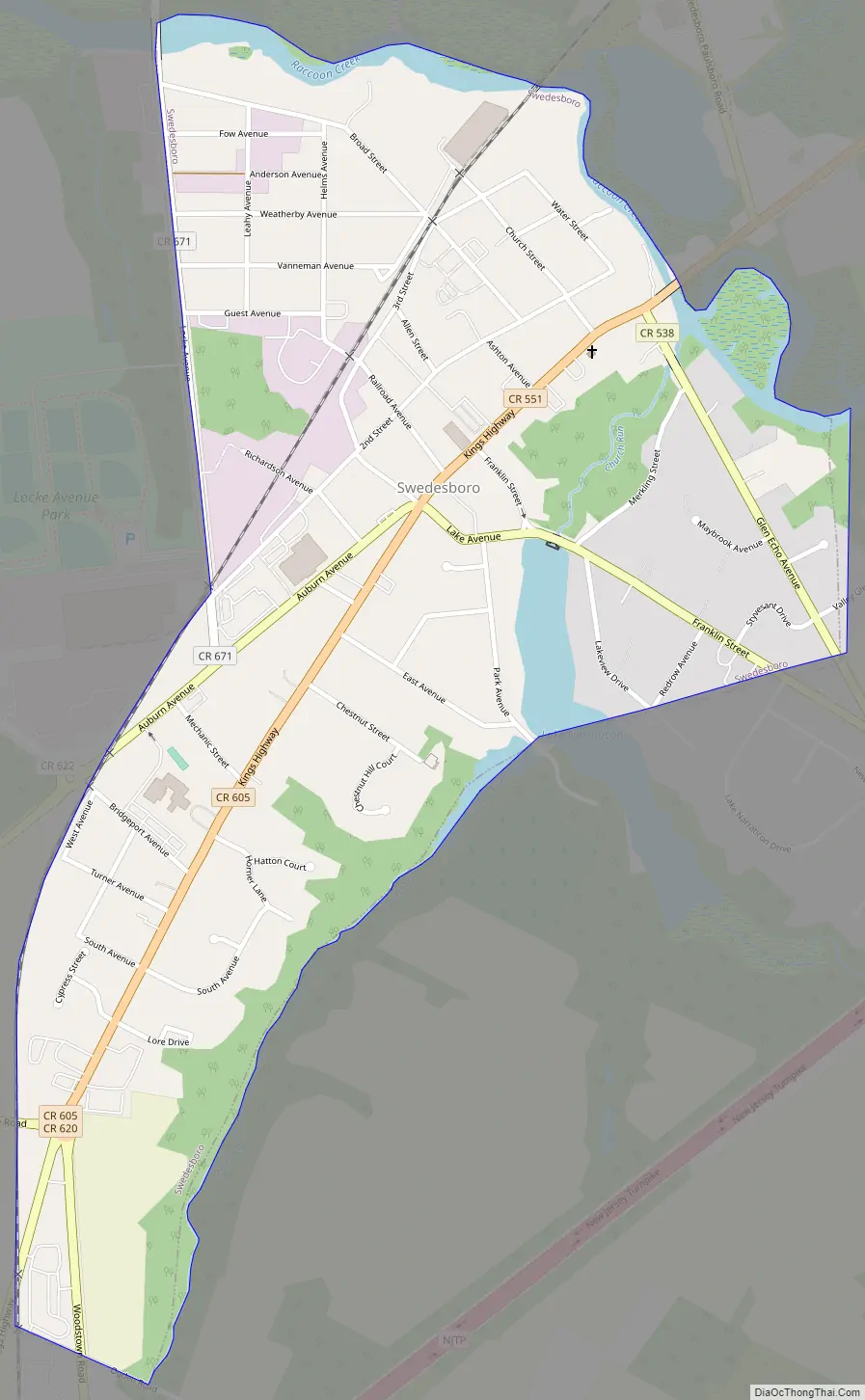
Swedesboro Road Map
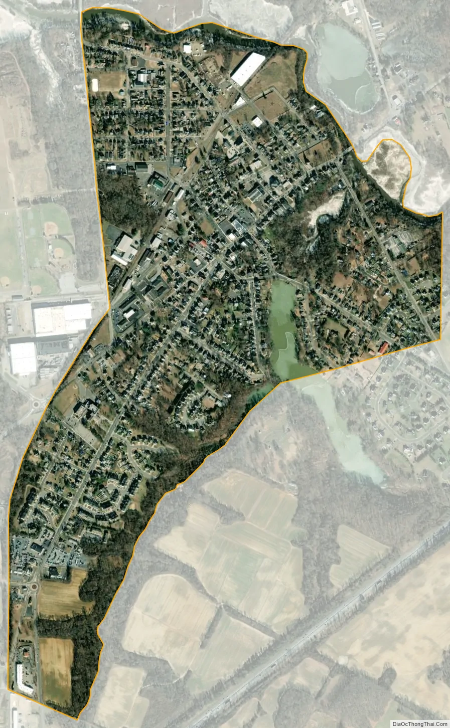
Swedesboro city Satellite Map
Geography
According to the U.S. Census Bureau, the borough had a total area of 0.77 square miles (1.99 km), including 0.73 square miles (1.89 km) of land and 0.04 square miles (0.09 km) of water (4.55%).
Unincorporated communities, localities, and places located partially or completely within the township include Ivyside. Swedesboro is an independent municipality surrounded on all sides by Woolwich Township, making it one of only 21 “doughnut towns” in the state, where one municipality entirely surrounds another.
See also
Map of New Jersey State and its subdivision: Map of other states:- Alabama
- Alaska
- Arizona
- Arkansas
- California
- Colorado
- Connecticut
- Delaware
- District of Columbia
- Florida
- Georgia
- Hawaii
- Idaho
- Illinois
- Indiana
- Iowa
- Kansas
- Kentucky
- Louisiana
- Maine
- Maryland
- Massachusetts
- Michigan
- Minnesota
- Mississippi
- Missouri
- Montana
- Nebraska
- Nevada
- New Hampshire
- New Jersey
- New Mexico
- New York
- North Carolina
- North Dakota
- Ohio
- Oklahoma
- Oregon
- Pennsylvania
- Rhode Island
- South Carolina
- South Dakota
- Tennessee
- Texas
- Utah
- Vermont
- Virginia
- Washington
- West Virginia
- Wisconsin
- Wyoming