Tinton Falls is a borough in Monmouth County, in the U.S. state of New Jersey. As of the 2020 United States census, the borough’s population was 19,181, an increase of 1,289 (+7.2%) from the 2010 census count of 17,892, which in turn reflected an increase of 2,839 (+18.9%) from the 15,053 counted in the 2000 census.
The borough was formed as New Shrewsbury by an act of the New Jersey Legislature on August 15, 1950, based on the results of a referendum held on July 18, 1950, after breaking away from Shrewsbury Township. It was renamed “Tinton Falls” in 1975, to avoid postal errors. The name came from Lewis Morris’s plantation, Tinton Manor, which employed free white workers and slaves. The borough is home to the highest waterfall on New Jersey’s coastal plain.
| Name: | Tinton Falls borough |
|---|---|
| LSAD Code: | 21 |
| LSAD Description: | borough (suffix) |
| State: | New Jersey |
| County: | Monmouth County |
| Incorporated: | August 15, 1950 as New Shrewsbury |
| Elevation: | 98 ft (30 m) |
| Total Area: | 15.61 sq mi (40.42 km²) |
| Land Area: | 15.48 sq mi (40.08 km²) |
| Water Area: | 0.13 sq mi (0.33 km²) 0.83% |
| Total Population: | 19,181 |
| Population Density: | 1,239.5/sq mi (478.6/km²) |
| Area code: | 732 |
| FIPS code: | 3473020 |
| GNISfeature ID: | 0885419 |
| Website: | www.tintonfalls.com |
Online Interactive Map
Click on ![]() to view map in "full screen" mode.
to view map in "full screen" mode.
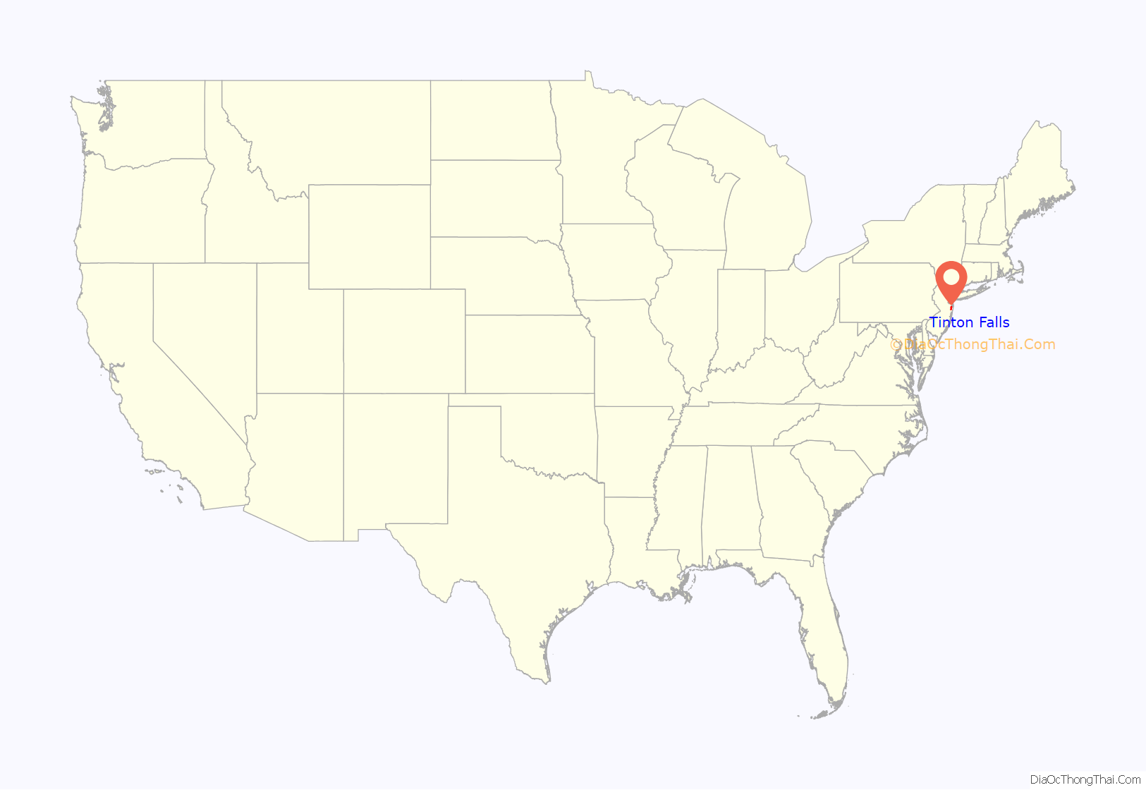
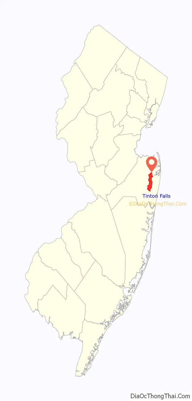
Tinton Falls location map. Where is Tinton Falls borough?
History
The area that is now known as Tinton Falls was originally settled by Europeans in the late 1600s, probably beginning with the initial land purchases from the Lenni Lenape Native Americans in 1664. Water power and iron ore were likely the incentives that encouraged settlement: shortly after [the land was purchased], a man by the name of James Grover had an ironworks built along the river. Grover was likely the founder of the community, which, in the 1600s, was named “New Shrewsbury”. At this time, the waterfall was known to be about 30 feet (9.1 m) high; erosion and the destruction of the dam near the ironworks have led to its diminishment.
The ironworks
Grover’s ironworks was the central fixture of the community, and it was one of the oldest built in the country, predated only by buildings in Jamestown and Massachusetts. In 1675, a half-interest in the ironworks company was purchased by Colonel Lewis Morris, [who obtained a title granting him 3,540 acres (14.3 km) along the Shrewsbury River]. Morris also obtained land owned by Bartholomew Applegate, who had built a corn mill on the other side of the river. Morris, who procured the land for iron mining, named his holdings “Tintern Manor,” after his family lands in Monmouthshire, Great Britain. Tintern Abbey, located in Monmouthshire, Wales, is often accepted as the namesake of Tinton Falls.
In 1691, Colonel Morris died, leaving the ironworks and Tinton Manor (a corruption of “Tintern Manor”) to his nephew of the same name. By 1714, the ironworks had become less profitable, but mention of a Tinton Falls ironworks can be found as late as 1844. Morris brought in dozens of African slaves to mine the ore resulting in the nickname the “Iron Plantation”, with the highest number of slaves being in Tinton Falls at that time in the colony of New Jersey, though in the mid-18th century it had the largest number of emancipated slaves in the 13 colonies, as residents followed the preaching of abolitionist John Woolman.
Separation from Shrewsbury Township
In 1693, Tinton Manor and the surrounding lands were defined as part of Shrewsbury Township. At this time, Shrewsbury included all of the land in eastern Monmouth County, but lost land due to the creation of a large number of new municipalities over the years, including the borough of Shrewsbury in 1926. In July 1950, Tinton Falls and Wayside left Shrewsbury Township, renaming themselves the Borough of New Shrewsbury. To avoid postal confusion and mix-ups with the surrounding borough and township of Shrewsbury, the residents of New Shrewsbury voted to rename the community as “The Borough of Tinton Falls” in 1975.
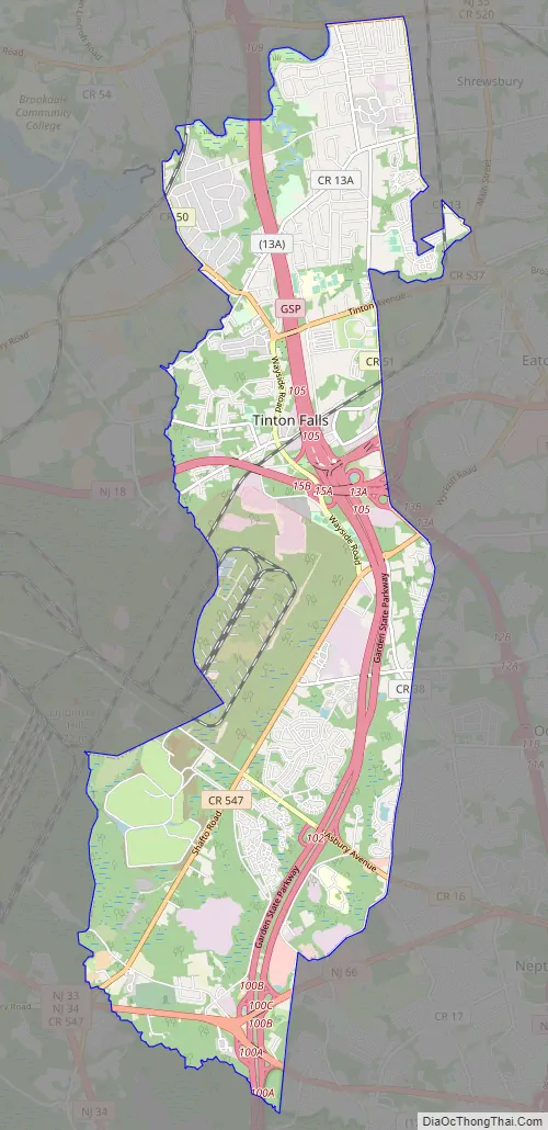
Tinton Falls Road Map
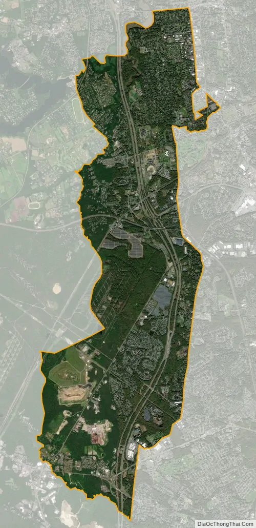
Tinton Falls city Satellite Map
Geography
According to the United States Census Bureau, the borough had a total area of 15.60 square miles (40.41 km), including 15.48 square miles (40.08 km) of land and 0.13 square miles (0.33 km) of water (0.83%).
Unincorporated communities, localities and place names located partially or completely within the borough include Wayside. Green Grove, Hockhockson, Macedonia, Pine Brook, Reevytown, West Shrewsbury and Wileys Corner are other unincorporated communities located partly or completely within the borough.
The borough borders the Monmouth County municipalities of Colts Neck Township, Eatontown, Middletown Township, Neptune Township, Ocean Township, Red Bank, Shrewsbury, Shrewsbury Township and Wall Township.
See also
Map of New Jersey State and its subdivision: Map of other states:- Alabama
- Alaska
- Arizona
- Arkansas
- California
- Colorado
- Connecticut
- Delaware
- District of Columbia
- Florida
- Georgia
- Hawaii
- Idaho
- Illinois
- Indiana
- Iowa
- Kansas
- Kentucky
- Louisiana
- Maine
- Maryland
- Massachusetts
- Michigan
- Minnesota
- Mississippi
- Missouri
- Montana
- Nebraska
- Nevada
- New Hampshire
- New Jersey
- New Mexico
- New York
- North Carolina
- North Dakota
- Ohio
- Oklahoma
- Oregon
- Pennsylvania
- Rhode Island
- South Carolina
- South Dakota
- Tennessee
- Texas
- Utah
- Vermont
- Virginia
- Washington
- West Virginia
- Wisconsin
- Wyoming


