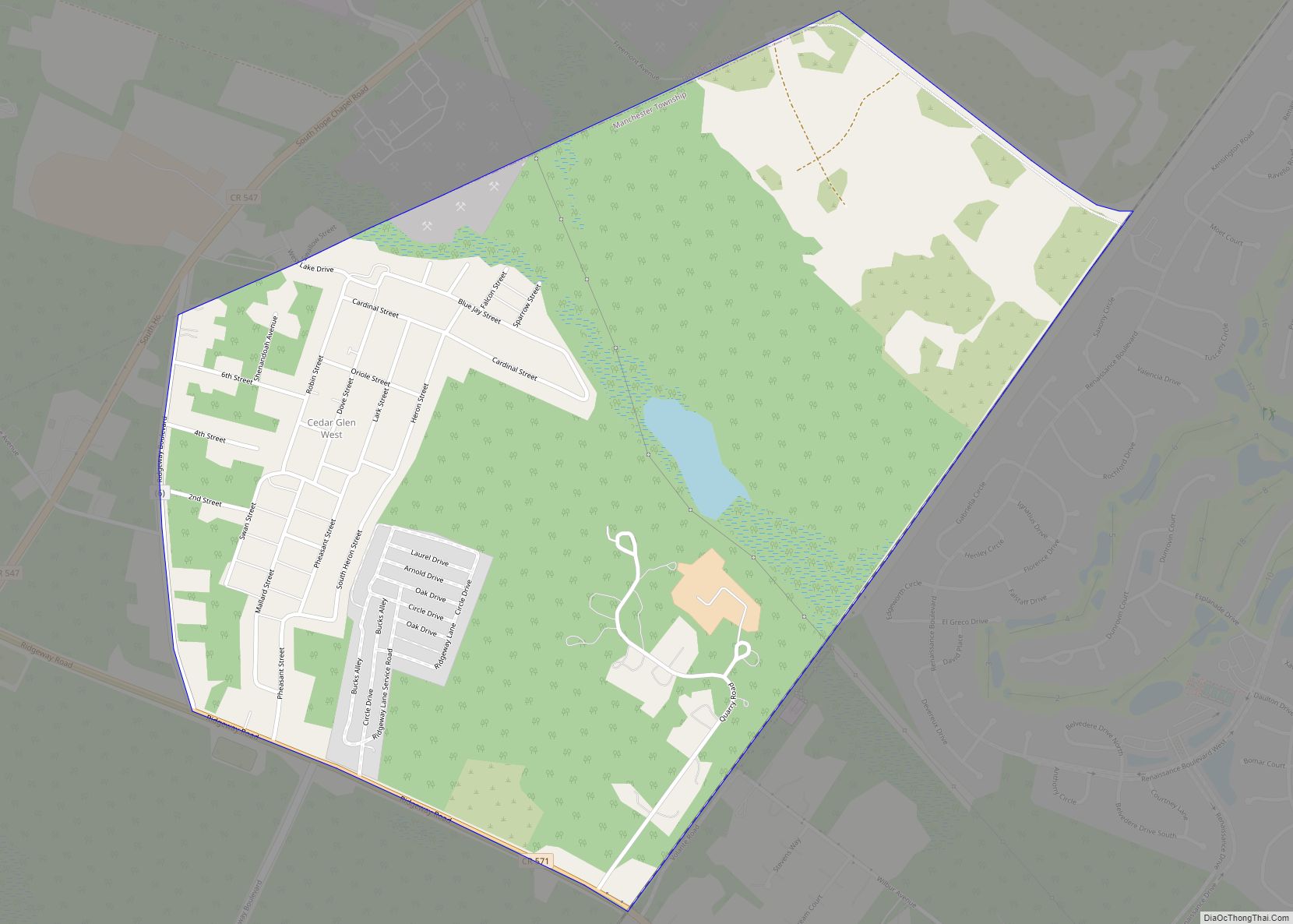
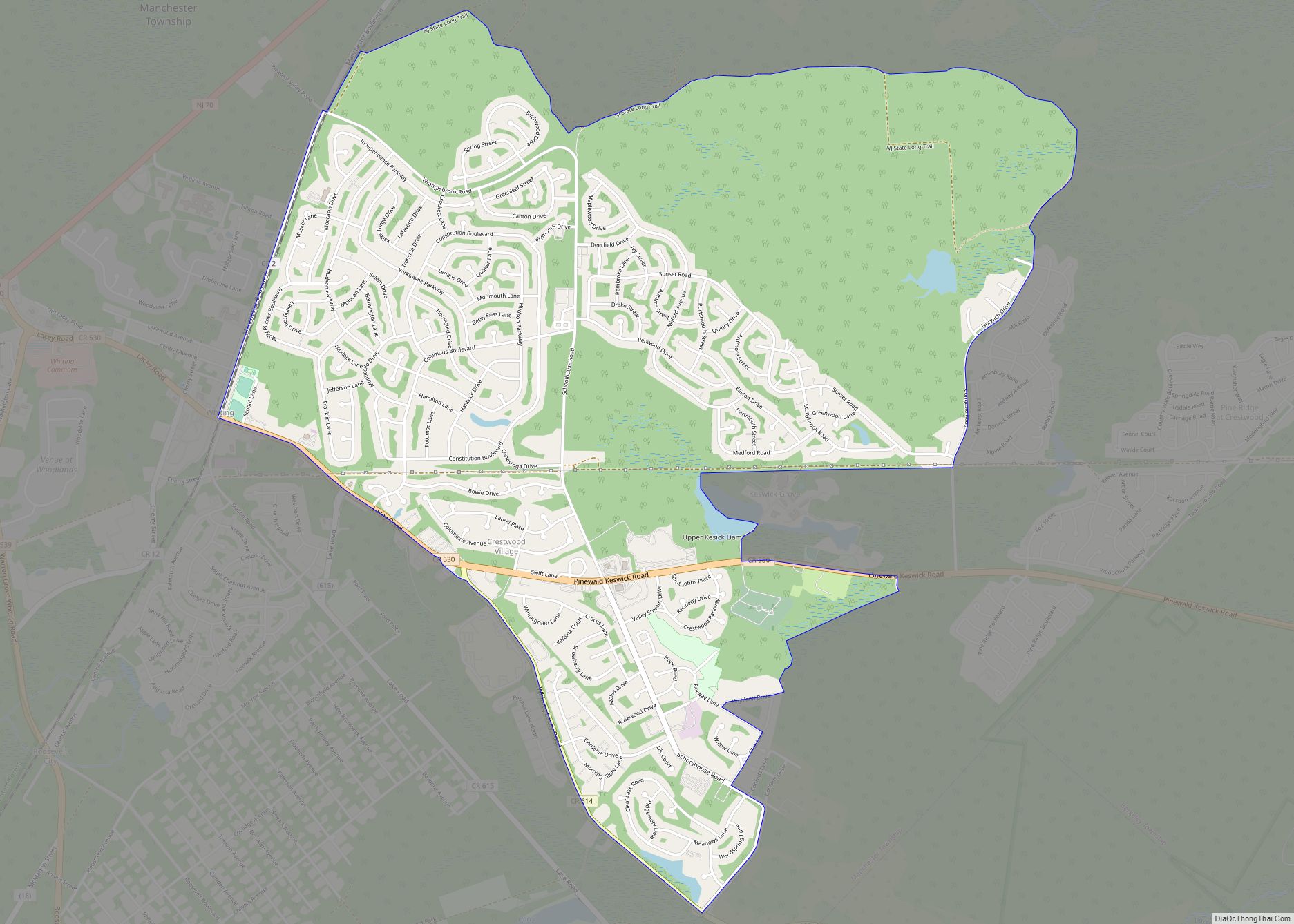
Toms River is an unincorporated community and census-designated place (CDP) located within and constituting the mainland portion of Toms River Township (formerly Dover Township), in Ocean County, New Jersey, United States. As of the 2020 United States Census, the CDP’s population was 92,830, its highest decennial count ever and an increase of 4,039 (+4.5%) from the 88,791 recorded at the 2010 census, which in turn had reflected an increase of 2,464 (+2.9%) from the 86,327 counted at the 2000 census. The Toms River CDP is the county seat of Ocean County. The area is named for Toms River, whose estuary flows through the community and empties into Barnegat Bay.
Toms River Township and its fully contained census-designated place are not co-extensive. In addition to the census-designated place, which includes all of mainland Toms River Township and is home to the vast majority of the township’s population, Toms River Township includes two small CDPs: Dover Beaches North (2020 Census population of 1,277) and Dover Beaches South (1,331), both of which are located on the Barnegat Peninsula. As defined by the Census Bureau based on 2010 Census data, more than 96% of Toms River Township’s area and of its population of 95,438 was located in Toms River CDP.
| Name: | Toms River CDP |
|---|---|
| LSAD Code: | 57 |
| LSAD Description: | CDP (suffix) |
| State: | New Jersey |
| County: | Ocean County |
| Elevation: | 62 ft (19 m) |
| Total Area: | 40.54 sq mi (105.00 km²) |
| Land Area: | 39.00 sq mi (101.00 km²) |
| Water Area: | 1.54 sq mi (4.00 km²) 4.40% |
| Total Population: | 92,830 |
| Population Density: | 2,380.7/sq mi (919.2/km²) |
| ZIP code: | 08753-08757 |
| Area code: | 732/848 |
| FIPS code: | 3473110 |
| GNISfeature ID: | 02390394 |
Online Interactive Map
Click on ![]() to view map in "full screen" mode.
to view map in "full screen" mode.
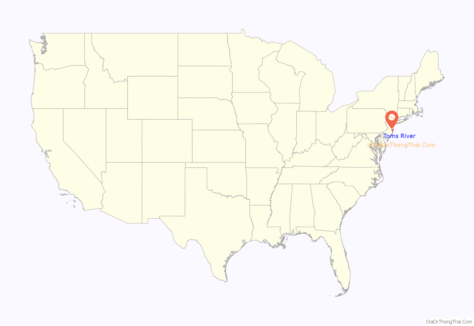
Toms River location map. Where is Toms River CDP?
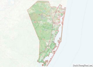
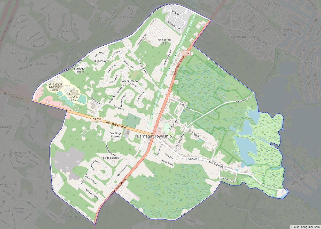
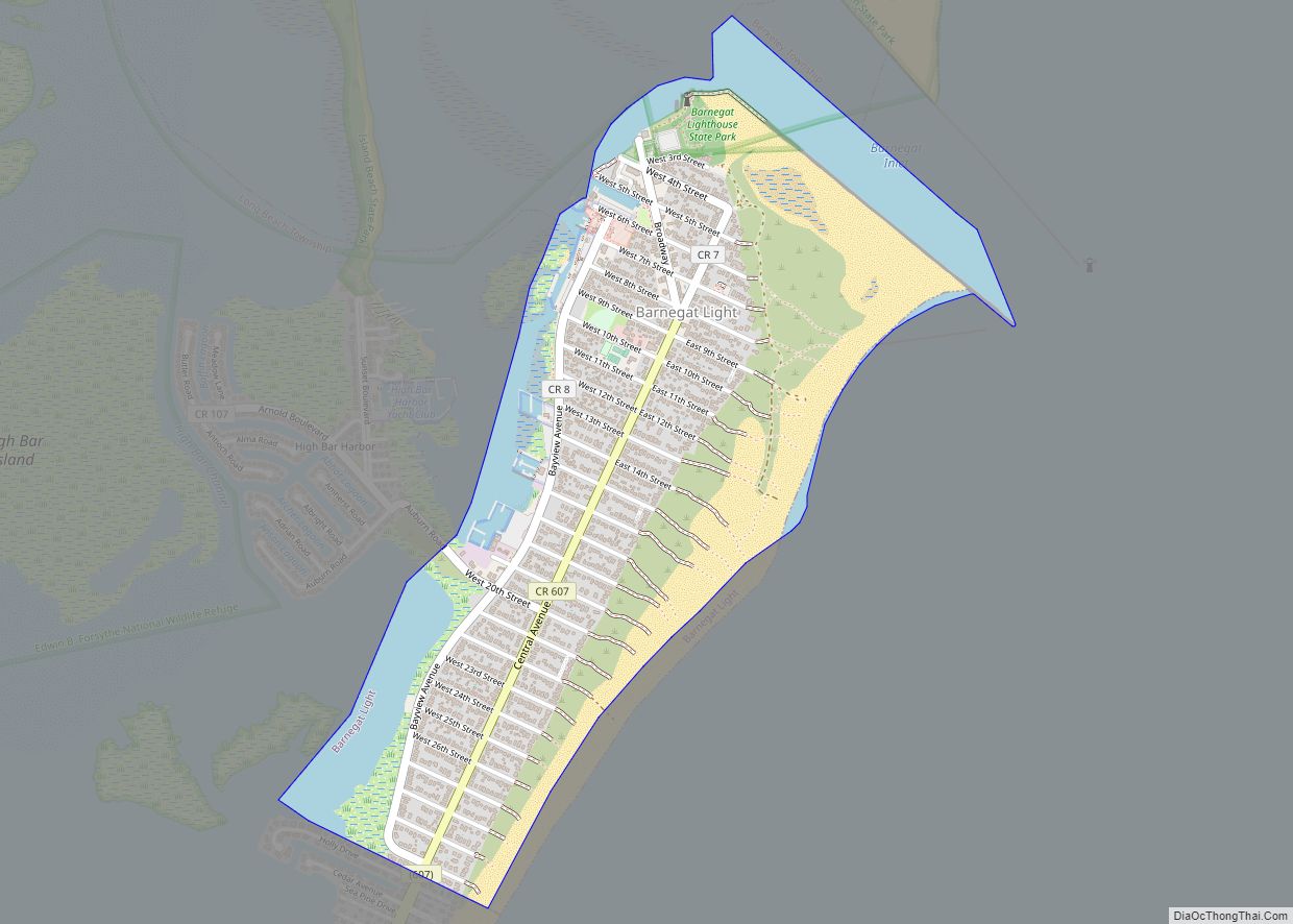
Toms River Road Map
Toms River city Satellite Map
Geography
According to the United States Census Bureau, the CDP had a total area of 40.738 square miles (105.510 km), including 38.947 square miles (100.871 km) of land and 1.791 square miles (4.639 km) of water (4.40%).
See also
Map of New Jersey State and its subdivision: Map of other states:- Alabama
- Alaska
- Arizona
- Arkansas
- California
- Colorado
- Connecticut
- Delaware
- District of Columbia
- Florida
- Georgia
- Hawaii
- Idaho
- Illinois
- Indiana
- Iowa
- Kansas
- Kentucky
- Louisiana
- Maine
- Maryland
- Massachusetts
- Michigan
- Minnesota
- Mississippi
- Missouri
- Montana
- Nebraska
- Nevada
- New Hampshire
- New Jersey
- New Mexico
- New York
- North Carolina
- North Dakota
- Ohio
- Oklahoma
- Oregon
- Pennsylvania
- Rhode Island
- South Carolina
- South Dakota
- Tennessee
- Texas
- Utah
- Vermont
- Virginia
- Washington
- West Virginia
- Wisconsin
- Wyoming
