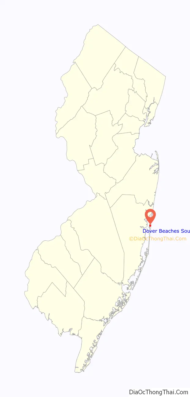
Dover Beaches South, more commonly known as Ortley Beach, is an unincorporated community and census-designated place (CDP) located within Toms River, in Ocean County, New Jersey, United States. As of the 2010 United States Census, the CDP’s population was 1,209. Dover Beaches South is situated on the Barnegat Peninsula, a long, narrow barrier peninsula that separates Barnegat Bay from the Atlantic Ocean.
Toms River Township is split by the United States Census Bureau into three CDPs; Toms River CDP on the mainland, comprising over 95% of the township’s population, along with the Jersey Shore communities of Dover Beaches North and Dover Beaches South.
| Name: | Dover Beaches South CDP |
|---|---|
| LSAD Code: | 57 |
| LSAD Description: | CDP (suffix) |
| State: | New Jersey |
| County: | Ocean County |
| Elevation: | 3 ft (1 m) |
| Total Area: | 1.01 sq mi (2.61 km²) |
| Land Area: | 0.62 sq mi (1.61 km²) |
| Water Area: | 0.39 sq mi (1.00 km²) 39.80% |
| Total Population: | 1,331 |
| Population Density: | 2,139.87/sq mi (826.47/km²) |
| FIPS code: | 3418151 |
| GNISfeature ID: | 02389414 |
Online Interactive Map
Click on ![]() to view map in "full screen" mode.
to view map in "full screen" mode.
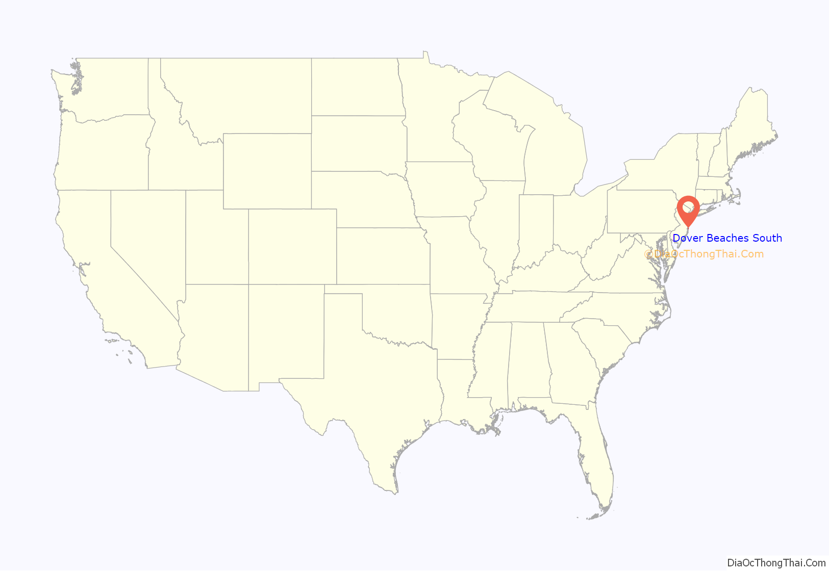
Dover Beaches South location map. Where is Dover Beaches South CDP?
History
The current location of Ortley Beach was once home to Cranberry Inlet, an important maritime route that closed after an 1812 storm. The area was opened to development by the completion of the Pennsylvania Railroad on the peninsula in 1883 and the completion of what is now Route 35 in 1913. The community was settled as a vacation resort in the 1940s and 1950s. There were several unsuccessful efforts to secede from Dover Township in the latter half of the 20th century. After suffering widespread damage to its housing stock during Hurricane Sandy, some publications have argued that Ortley Beach is undergoing gentrification as high rebuilding costs have pushed out older residents and ushered in a new wave of luxury homes.
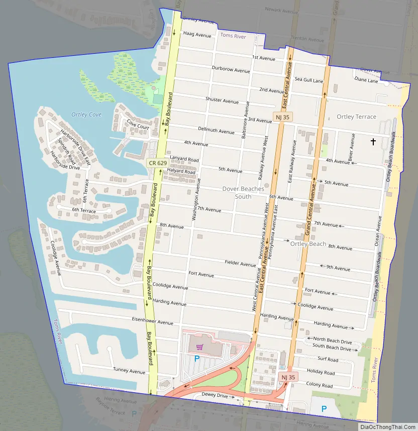
Dover Beaches South Road Map
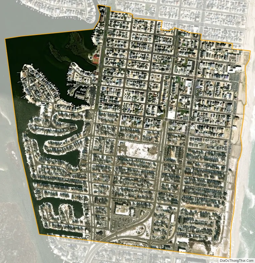
Dover Beaches South city Satellite Map
Geography
According to the United States Census Bureau, the CDP had a total area of 1.030 square miles (2.665 km), including 0.620 square miles (1.605 km) of land and 0.410 square miles (1.061 km) of water (39.80%). The CDP is bordered by the municipalities of Lavallette and Seaside Heights.
See also
Map of New Jersey State and its subdivision: Map of other states:- Alabama
- Alaska
- Arizona
- Arkansas
- California
- Colorado
- Connecticut
- Delaware
- District of Columbia
- Florida
- Georgia
- Hawaii
- Idaho
- Illinois
- Indiana
- Iowa
- Kansas
- Kentucky
- Louisiana
- Maine
- Maryland
- Massachusetts
- Michigan
- Minnesota
- Mississippi
- Missouri
- Montana
- Nebraska
- Nevada
- New Hampshire
- New Jersey
- New Mexico
- New York
- North Carolina
- North Dakota
- Ohio
- Oklahoma
- Oregon
- Pennsylvania
- Rhode Island
- South Carolina
- South Dakota
- Tennessee
- Texas
- Utah
- Vermont
- Virginia
- Washington
- West Virginia
- Wisconsin
- Wyoming


