Ames is a town in southeastern Major County, Oklahoma, United States. The population was 239 at the 2010 census. This was a 20.1 percent increase from the figure of 199 in 2000.
Ames is best known for being located within the boundary of a geological structure that is called the Ames crater or the Ames Astrobleme. The Ames Astrobleme Museum is located in the town.
| Name: | Ames town |
|---|---|
| LSAD Code: | 43 |
| LSAD Description: | town (suffix) |
| State: | Oklahoma |
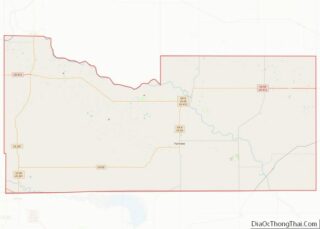
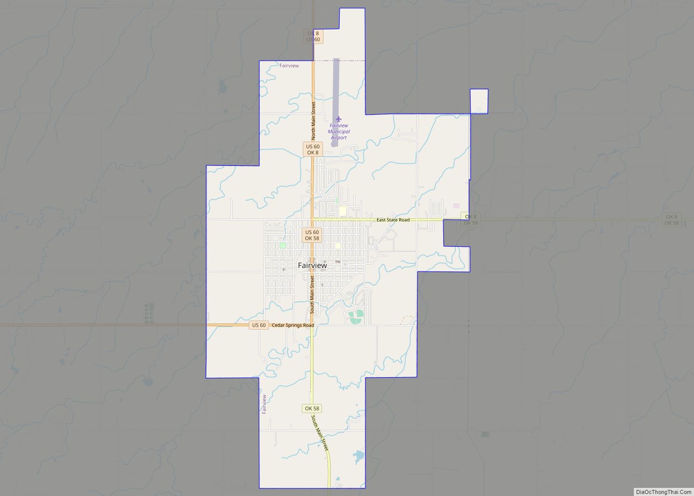
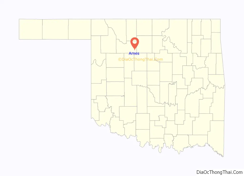
| County: | Major County |
| Elevation: | 1,211 ft (369 m) |
| Total Area: | 0.28 sq mi (0.72 km²) |
| Land Area: | 0.28 sq mi (0.72 km²) |
| Water Area: | 0.00 sq mi (0.00 km²) |
| Total Population: | 193 |
| Population Density: | 694.24/sq mi (267.72/km²) |
| ZIP code: | 73718 |
| Area code: | 580 |
| FIPS code: | 4001950 |
| GNISfeature ID: | 2412361 |
Online Interactive Map
Click on ![]() to view map in "full screen" mode.
to view map in "full screen" mode.
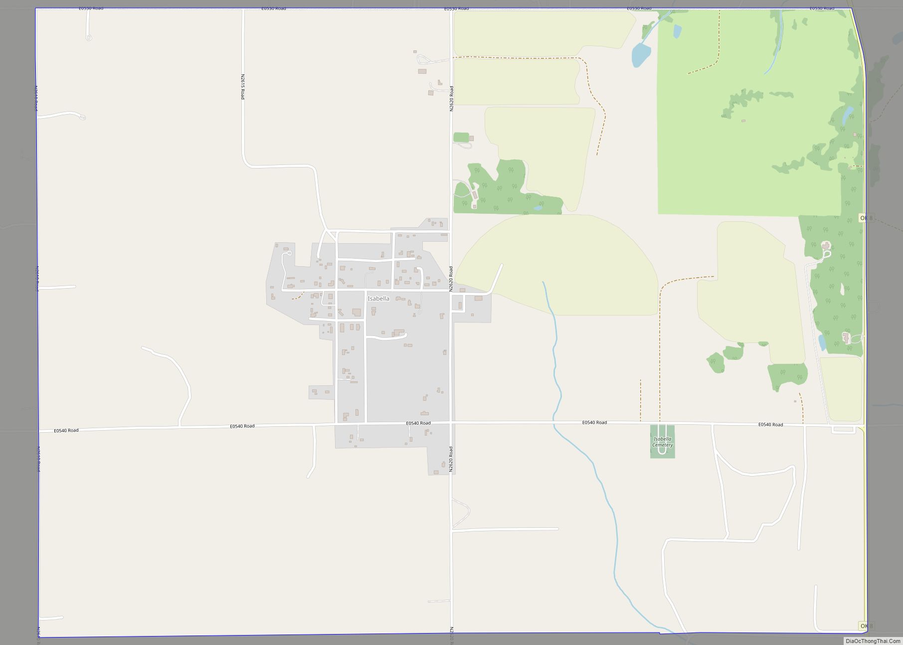
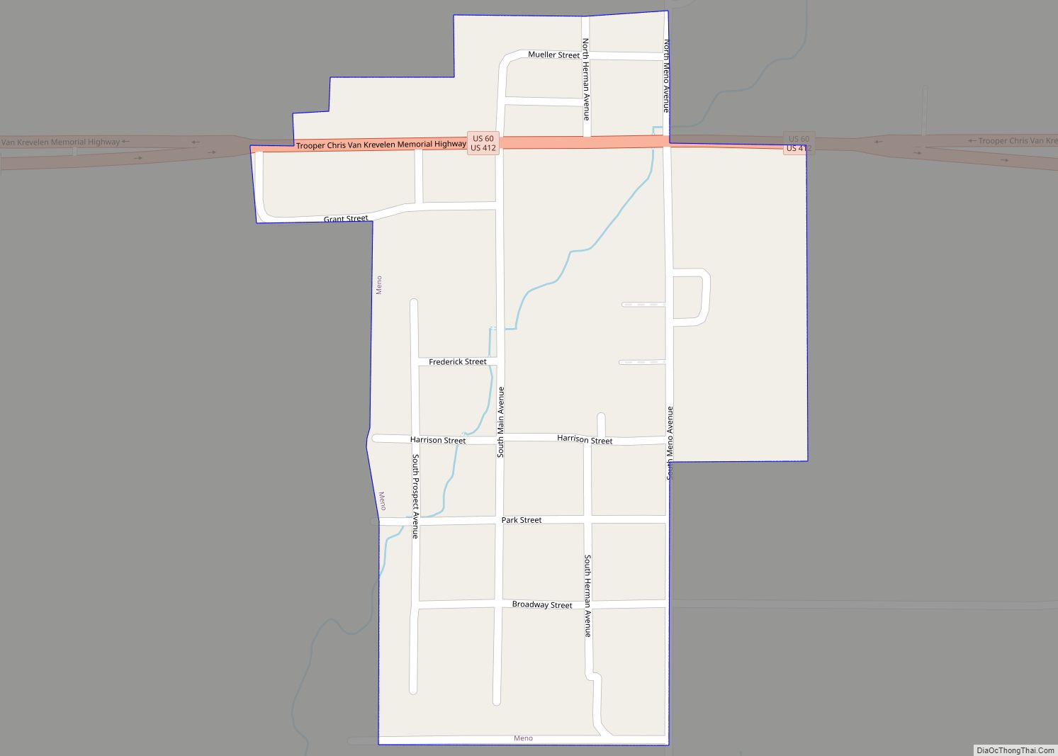
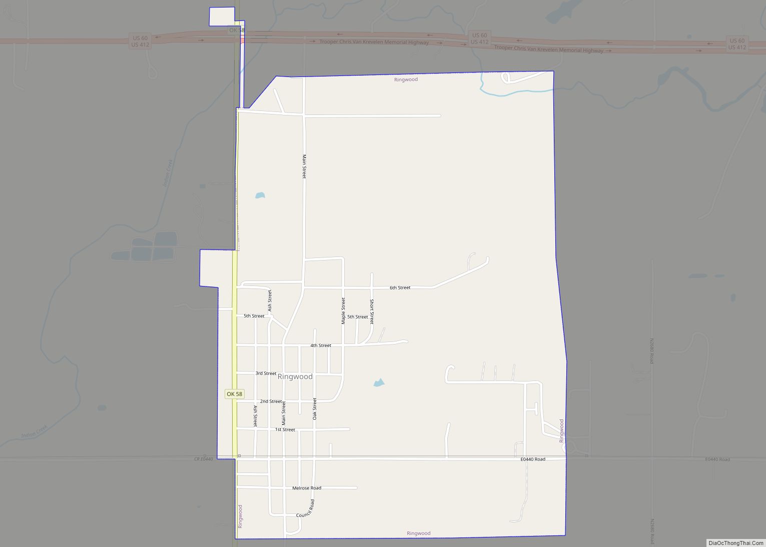
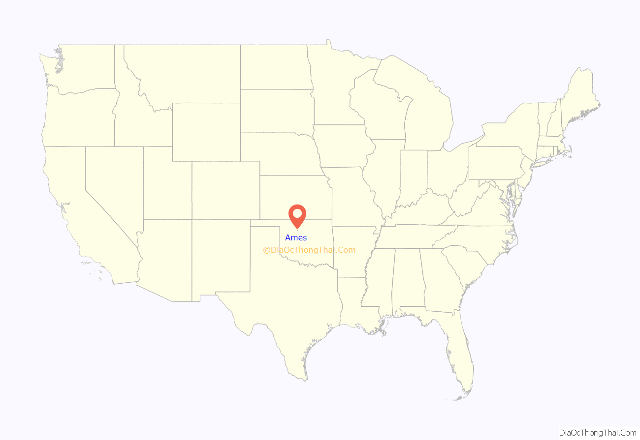
Ames location map. Where is Ames town?
History
Ames was founded at the opening of the Cherokee Outlet on September 16, 1893. It was initially named Hoyle, for a nearby creek. The Blackwell, Enid and Southwestern Railroad (later the St. Louis and San Francisco Railway) constructed a line from Blackwell in Kay County to Darrow in Blaine County, that passed through the community. On January 4, 1902, it was named for Henry S. Ames, a railroad official.
Ames had a population of 278 at the 1920 census and 332 at the 1940 census, its peak population.
Oil was discovered within the Ames crater in 1991.
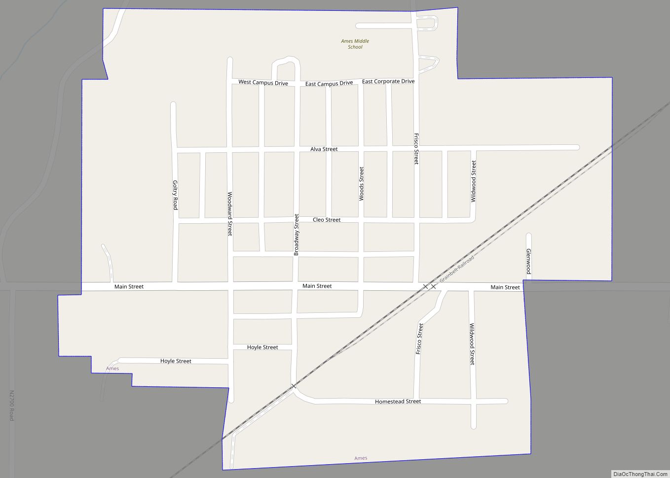
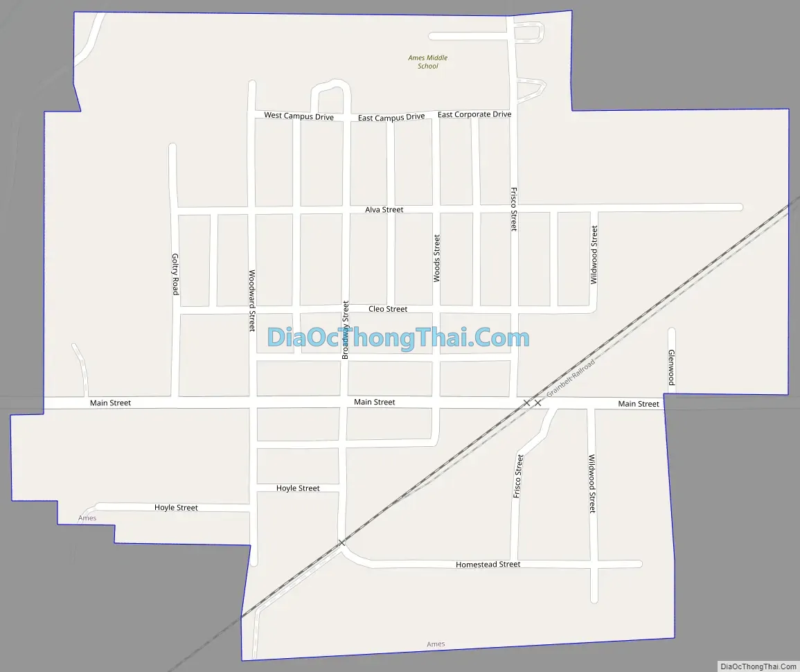
Ames Road Map
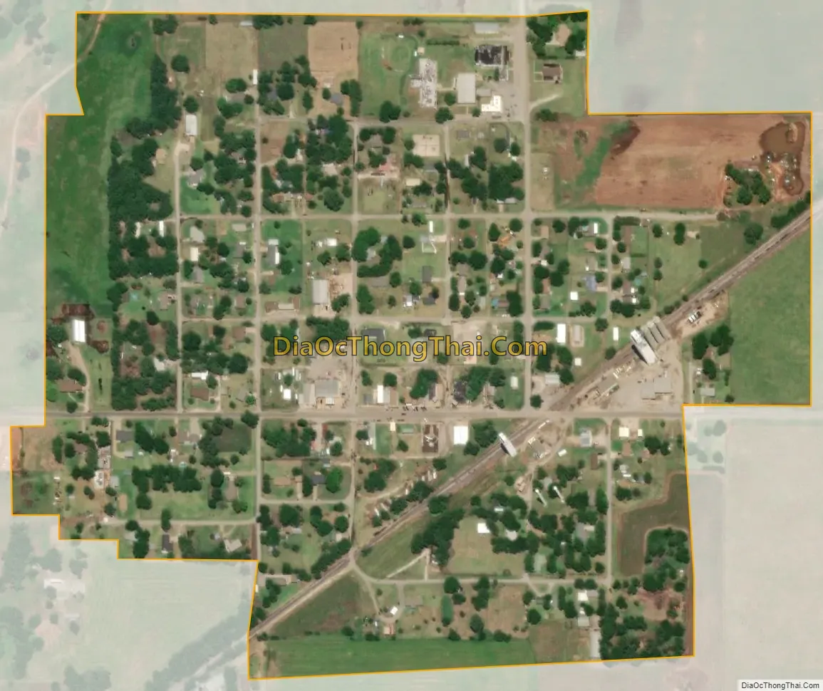
Ames city Satellite Map
Geography
Ames is located about 93 miles from Oklahoma City, 27 miles from Enid and 22 miles from Fairview (driving distances).
According to the United States Census Bureau, the town has a total area of 0.3 square miles (0.78 km), all land.
See also
Map of Oklahoma State and its subdivision:- Adair
- Alfalfa
- Atoka
- Beaver
- Beckham
- Blaine
- Bryan
- Caddo
- Canadian
- Carter
- Cherokee
- Choctaw
- Cimarron
- Cleveland
- Coal
- Comanche
- Cotton
- Craig
- Creek
- Custer
- Delaware
- Dewey
- Ellis
- Garfield
- Garvin
- Grady
- Grant
- Greer
- Harmon
- Harper
- Haskell
- Hughes
- Jackson
- Jefferson
- Johnston
- Kay
- Kingfisher
- Kiowa
- Latimer
- Le Flore
- Lincoln
- Logan
- Love
- Major
- Marshall
- Mayes
- McClain
- McCurtain
- McIntosh
- Murray
- Muskogee
- Noble
- Nowata
- Okfuskee
- Oklahoma
- Okmulgee
- Osage
- Ottawa
- Pawnee
- Payne
- Pittsburg
- Pontotoc
- Pottawatomie
- Pushmataha
- Roger Mills
- Rogers
- Seminole
- Sequoyah
- Stephens
- Texas
- Tillman
- Tulsa
- Wagoner
- Washington
- Washita
- Woods
- Woodward
- Alabama
- Alaska
- Arizona
- Arkansas
- California
- Colorado
- Connecticut
- Delaware
- District of Columbia
- Florida
- Georgia
- Hawaii
- Idaho
- Illinois
- Indiana
- Iowa
- Kansas
- Kentucky
- Louisiana
- Maine
- Maryland
- Massachusetts
- Michigan
- Minnesota
- Mississippi
- Missouri
- Montana
- Nebraska
- Nevada
- New Hampshire
- New Jersey
- New Mexico
- New York
- North Carolina
- North Dakota
- Ohio
- Oklahoma
- Oregon
- Pennsylvania
- Rhode Island
- South Carolina
- South Dakota
- Tennessee
- Texas
- Utah
- Vermont
- Virginia
- Washington
- West Virginia
- Wisconsin
- Wyoming