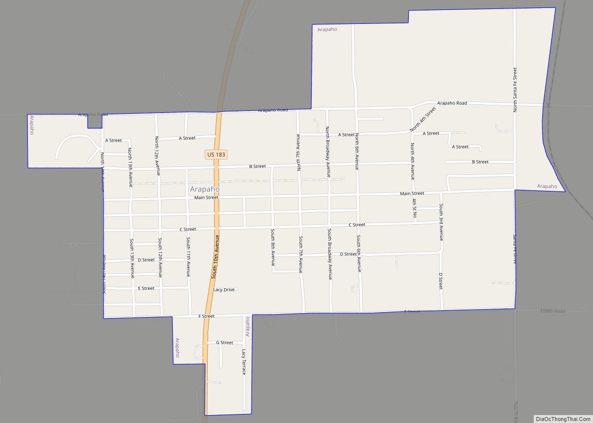
Arapaho is a town in, and the county seat of, Custer County, Oklahoma, United States. The population was 796 at the 2010 census, a 6.4 percent increase from the figure of 748 in 2000. The town lies long U.S. Route 183 and is named for the Arapaho Native American tribe.
| Name: | Arapaho town |
|---|---|
| LSAD Code: | 43 |
| LSAD Description: | town (suffix) |
| State: | Oklahoma |
| County: | Custer County |
| Elevation: | 1,669 ft (509 m) |
| Total Area: | 0.70 sq mi (1.81 km²) |
| Land Area: | 0.70 sq mi (1.81 km²) |
| Water Area: | 0.00 sq mi (0.00 km²) |
| Total Population: | 668 |
| Population Density: | 955.65/sq mi (369.03/km²) |
| ZIP code: | 73620 |
| Area code: | 580 |
| FIPS code: | 4002500 |
| GNISfeature ID: | 1089676 |
Online Interactive Map
Click on ![]() to view map in "full screen" mode.
to view map in "full screen" mode.
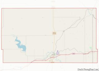
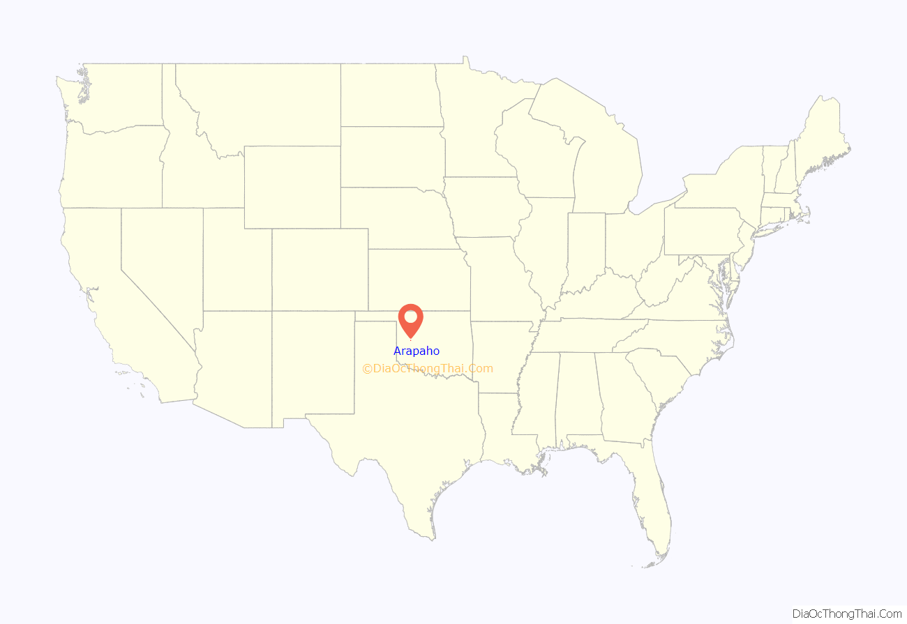
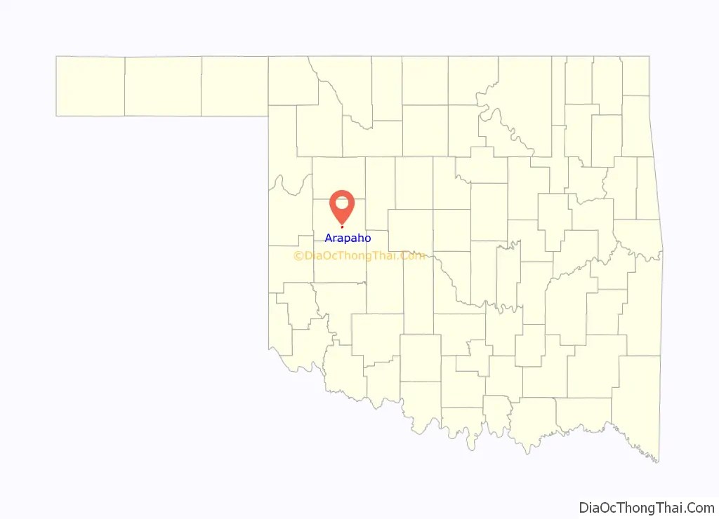
Arapaho location map. Where is Arapaho town?
History
The area containing present Arapaho was surveyed by federally-contracted surveyors in 1891, prior to the Cheyenne-Arapaho land opening on April 19, 1892. A US post office was set up for the proposed community on March 23, 1892.
On April 19, 1892, the expected inrush of settlers did materialize; by sundown some 400 claims had been posted. The first town newspaper was issued 10 days later, titled The Arapahoe Arrow (by the end of the year its name had changed to The Arapahoe Bee).
Several Protestant church groups had been organized during the first few years. By 1894 the county courthouse and a school had been built. A lending library was in operation by May 1904.
The Oklahoma Territorial Legislature approved the incorporation on March 2, 1905 (Council Bill #80). The county courthouse had been lost in an 1896 fire, and was not replaced until 1935, built with Public Works Administration funds. It was enlarged in 1985.
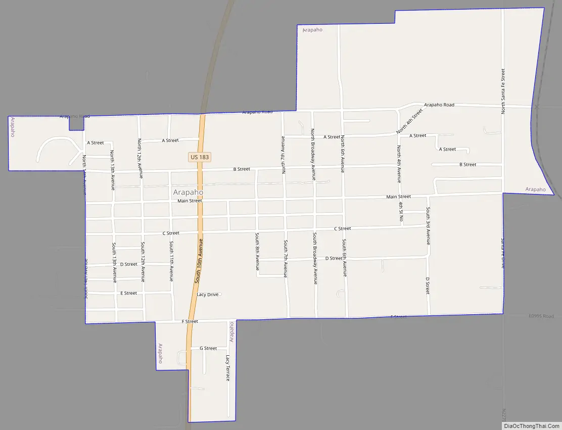
Arapaho Road Map
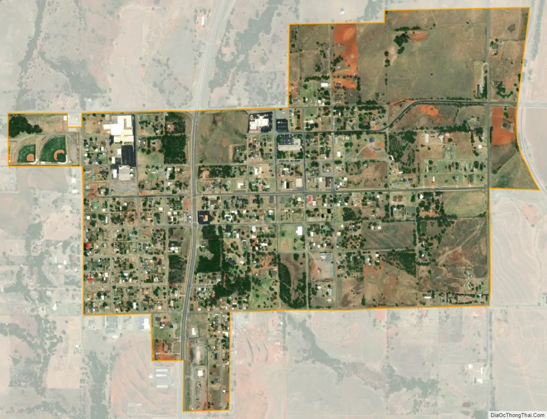
Arapaho city Satellite Map
Geography
Arapaho is located at 35°34′37″N 98°57′45″W / 35.57694°N 98.96250°W / 35.57694; -98.96250 (35.577014, -98.962370). This places it along U.S. Route 183, north of Clinton.
According to the United States Census Bureau, the town has a total area of 0.7 square miles (1.8 km), all land.
Climate
See also
Map of Oklahoma State and its subdivision:- Adair
- Alfalfa
- Atoka
- Beaver
- Beckham
- Blaine
- Bryan
- Caddo
- Canadian
- Carter
- Cherokee
- Choctaw
- Cimarron
- Cleveland
- Coal
- Comanche
- Cotton
- Craig
- Creek
- Custer
- Delaware
- Dewey
- Ellis
- Garfield
- Garvin
- Grady
- Grant
- Greer
- Harmon
- Harper
- Haskell
- Hughes
- Jackson
- Jefferson
- Johnston
- Kay
- Kingfisher
- Kiowa
- Latimer
- Le Flore
- Lincoln
- Logan
- Love
- Major
- Marshall
- Mayes
- McClain
- McCurtain
- McIntosh
- Murray
- Muskogee
- Noble
- Nowata
- Okfuskee
- Oklahoma
- Okmulgee
- Osage
- Ottawa
- Pawnee
- Payne
- Pittsburg
- Pontotoc
- Pottawatomie
- Pushmataha
- Roger Mills
- Rogers
- Seminole
- Sequoyah
- Stephens
- Texas
- Tillman
- Tulsa
- Wagoner
- Washington
- Washita
- Woods
- Woodward
- Alabama
- Alaska
- Arizona
- Arkansas
- California
- Colorado
- Connecticut
- Delaware
- District of Columbia
- Florida
- Georgia
- Hawaii
- Idaho
- Illinois
- Indiana
- Iowa
- Kansas
- Kentucky
- Louisiana
- Maine
- Maryland
- Massachusetts
- Michigan
- Minnesota
- Mississippi
- Missouri
- Montana
- Nebraska
- Nevada
- New Hampshire
- New Jersey
- New Mexico
- New York
- North Carolina
- North Dakota
- Ohio
- Oklahoma
- Oregon
- Pennsylvania
- Rhode Island
- South Carolina
- South Dakota
- Tennessee
- Texas
- Utah
- Vermont
- Virginia
- Washington
- West Virginia
- Wisconsin
- Wyoming