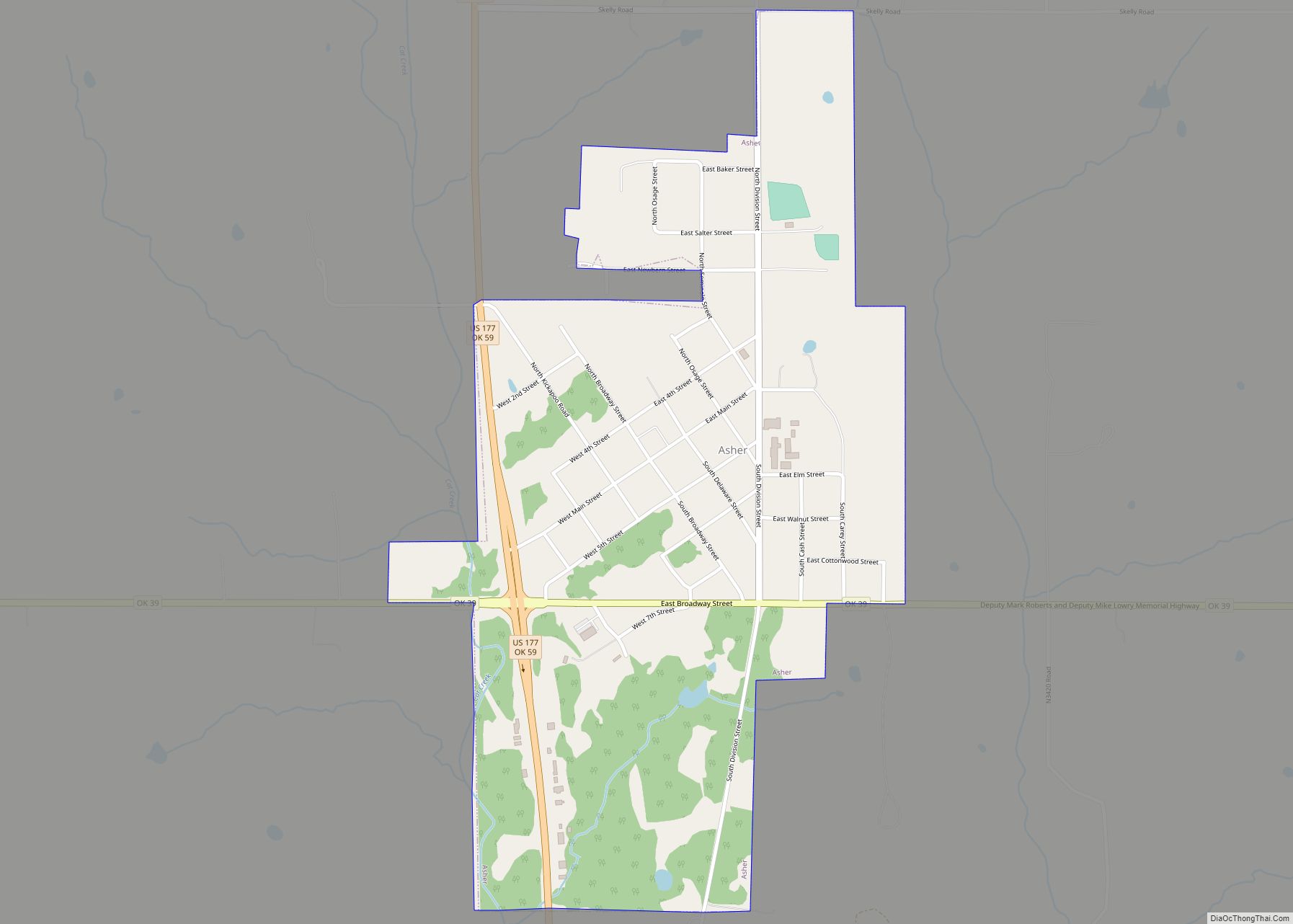
Asher is a town in Pottawatomie County, Oklahoma. The population was 393 at the 2010 census, a decline of 6.2 percent from the figure of 419 in 2000.
| Name: | Asher town |
|---|---|
| LSAD Code: | 43 |
| LSAD Description: | town (suffix) |
| State: | Oklahoma |
| County: | Pottawatomie County |
| Elevation: | 1,033 ft (315 m) |
| Total Area: | 0.77 sq mi (1.99 km²) |
| Land Area: | 0.77 sq mi (1.99 km²) |
| Water Area: | 0.00 sq mi (0.00 km²) 0% |
| Total Population: | 370 |
| Population Density: | 481.77/sq mi (186.02/km²) |
| ZIP code: | 74826 |
| Area code: | 405/572 |
| FIPS code: | 4003000 |
| GNISfeature ID: | 1089729 |
| Website: | www.asherok.info |
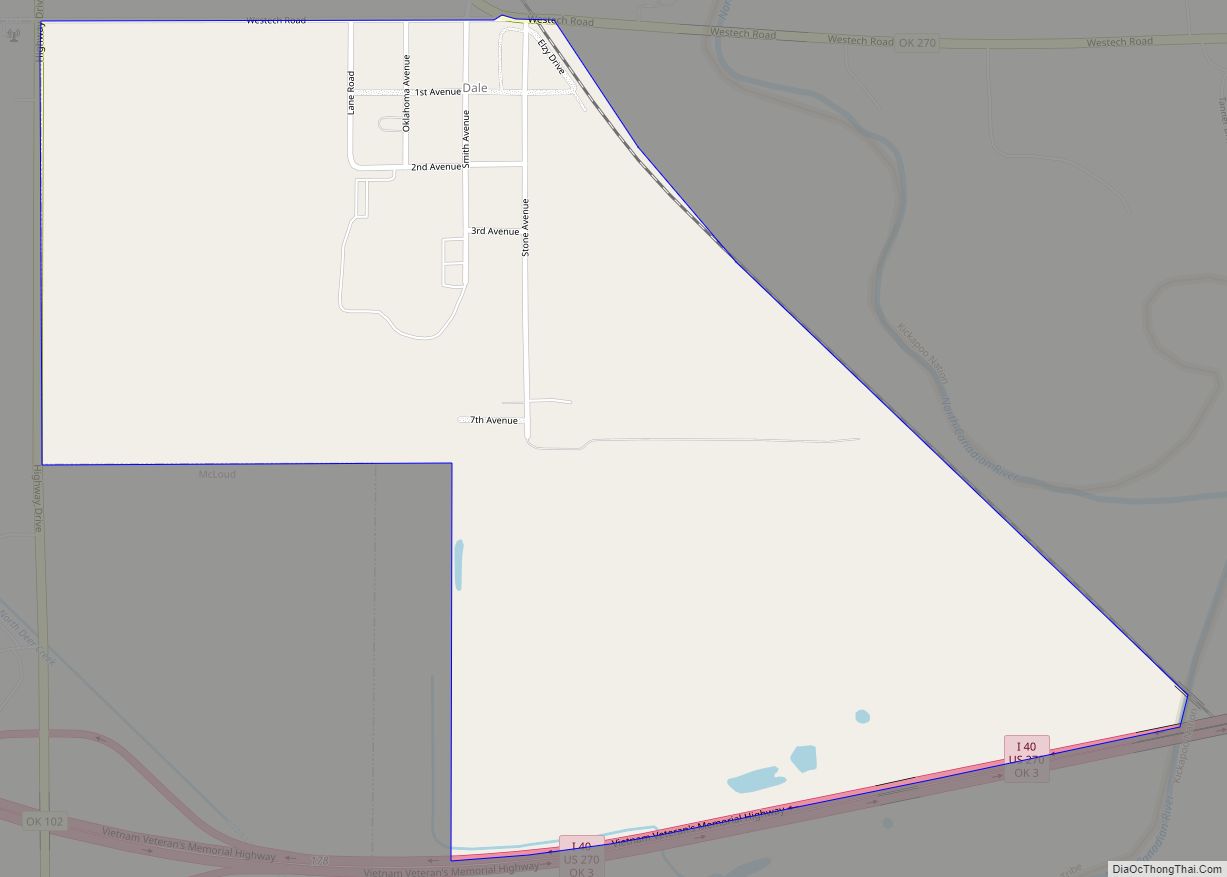
Online Interactive Map
Click on ![]() to view map in "full screen" mode.
to view map in "full screen" mode.
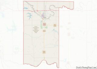
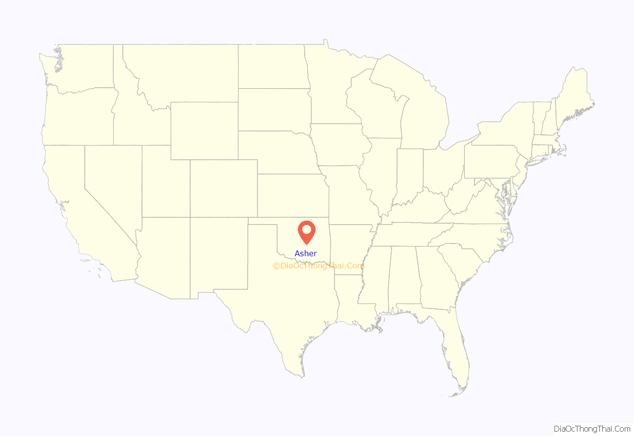
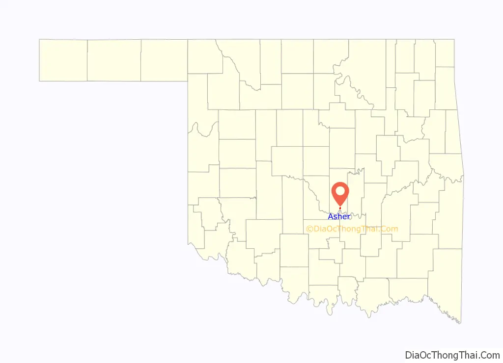
Asher location map. Where is Asher town?
History
Beginnings
Asher dates back to 1892 when George “Matt” Asher, from Clay County, Kentucky, purchased land in Oklahoma Territory from a Shawnee estate salesperson to set up his farm home. The post office was established November 26, 1901, when the postmaster of nearby Avoca, Oklahoma, George A. McCurry, moved the Avoca post office and his store to the new community that would become Asher. This was done without permission from the government and left Avoca without a post office. According to the tale, McCurry was given a home and store building as payment for moving the post office to the new settlement. The town was named for Mr. Asher, who supplied the land with the consideration the community would carry his namesake, though he never lived there. There was a sale of public lots in 1902.
Avoca Township
Asher is the last remaining post office in the original Avoca Township, which also included the towns of Sacred Heart Mission, Osmit, Avoca, Meanko, Boyer and Violet.
Growth
On October 12, 1900, the Choctaw, Oklahoma and Gulf (CO&G) bought the Shawnee to Tecumseh Railway branch from the Tecumseh Railway Co. and promptly extended the branch to Asher. For the next 40 years, Asher would serve as the termination point for the branch and its engine, “Old Beck”. Rapid construction of railroads opened up 400 square miles (1,000 km) of a fertile section of the South Canadian River valley to shipping facilities. Asher was the trade center and market of the area. Further development came when, on January 15, 1903, The Jennings Company closed on 1,000 business and residence lots. The Jennings Company advertised investment in the growing town and new factories and industries of various kinds soon located in Asher.
Asher and the new settlers had hopes of creating a large city. However, the settlers were disappointed when the towns of Seminole and Konawa were built and took away much of Asher’s trade. The people of Asher would not give up, and pulled together town resources and constructed a bridge across the Canadian River. The state then used the bridge in its construction of State Highway 18, drawing a small amount of trade to the area from nearby cities, such as Ada. Before the construction of the bridge, those south of Asher could only cross the river when it was shallow enough.
Asher, originally a cotton farming community, suffered in its early years from crop losses caused by boll weevils. Farmers were then dealt a further blow when the town’s first two cotton gins were destroyed by fire. These setbacks compounded the loss of trade and left the town in dire straits.
In 1927, oil was discovered in and around the town. Asher sprang up almost overnight to serve the needs of the oil workers. It was also around this time that executives moved into Asher and purchased enormous amounts of supplies and merchandise at inflated prices. There were many businesses in town including feed and grocery stores, jewelry stores and drug stores as well as banks, barber shops, hotels and a small theater. Many leading families of Oklahoma, such as the McAlisters, the O’Dells, the Patterson’s, the Campbells and the Byruns, lived in the town. There were also many doctors with offices in Asher. For a while, Asher became prosperous.
County Seat potential
Tecumseh, Oklahoma, was originally the county seat of Pottawatomie County. In late 1930, a long-standing war between Shawnee and Tecumseh escalated when voters approved measures to move the seat to Shawnee. A spin-off of this feud was the move for the creation of a new county, to be named Petroleum County. The new county would be composed of prime oil-producing land, including the southern half of Pottawatomie County and portions of Seminole, Pontotoc and McClain Counties. The move was started by Tecumseh supporters who wanted to make Shawnee’s county seat victory as hollow as possible by removing the most valuable section of the county. Asher was slated to be the county seat and it was planned that the greater part of Tecumseh would move down to form an impressive community. There was a paper–The Petroleum County Times—produced, meetings held and petitions circulated. However, the measure never progressed further as times were not favorable for the creation of a new county.
End of the oil boom
The oil boom ended when only four wells proved to be profitable. Once again, Asher was in danger of dying out. Fortunately, another oil well was found just west of the town. This time the people connected to the well were local citizens and were cautious and conservative in their estimates and spending. This led to a small but steady production of oil in the community. Asher was dealt another setback in 1967 when SH-18 was taken out of commission and traffic was diverted west of town on the new US Highway 177. Businesses migrated to the new highway and many storefronts in the original town were closed. The final business, Green’s Market, which was located on Division Street (old SH-18) closed in 1985, after serving the community for 40 years. Several businesses on US-177 remain, mostly serving those traveling through the area.
Centennial
In 2001, Asher celebrated its 100th anniversary. The town, along with others in the county that had passed the centennial mark, was honored on a centennial monument dedicated September 21, 2007. This date was chosen to coincide with the Oklahoma Centennial. Other Asher honorees were the First Baptist Church, which was founded in 1902 and Asher School, which was established in 1903. The monument is located in Centennial Park, on the grounds of the Santa Fe Museum, in Shawnee, Oklahoma.
Timeline of major events
Below is a time table of major events that occurred in Asher as well as surrounding communities whose events affected Asher’s history.
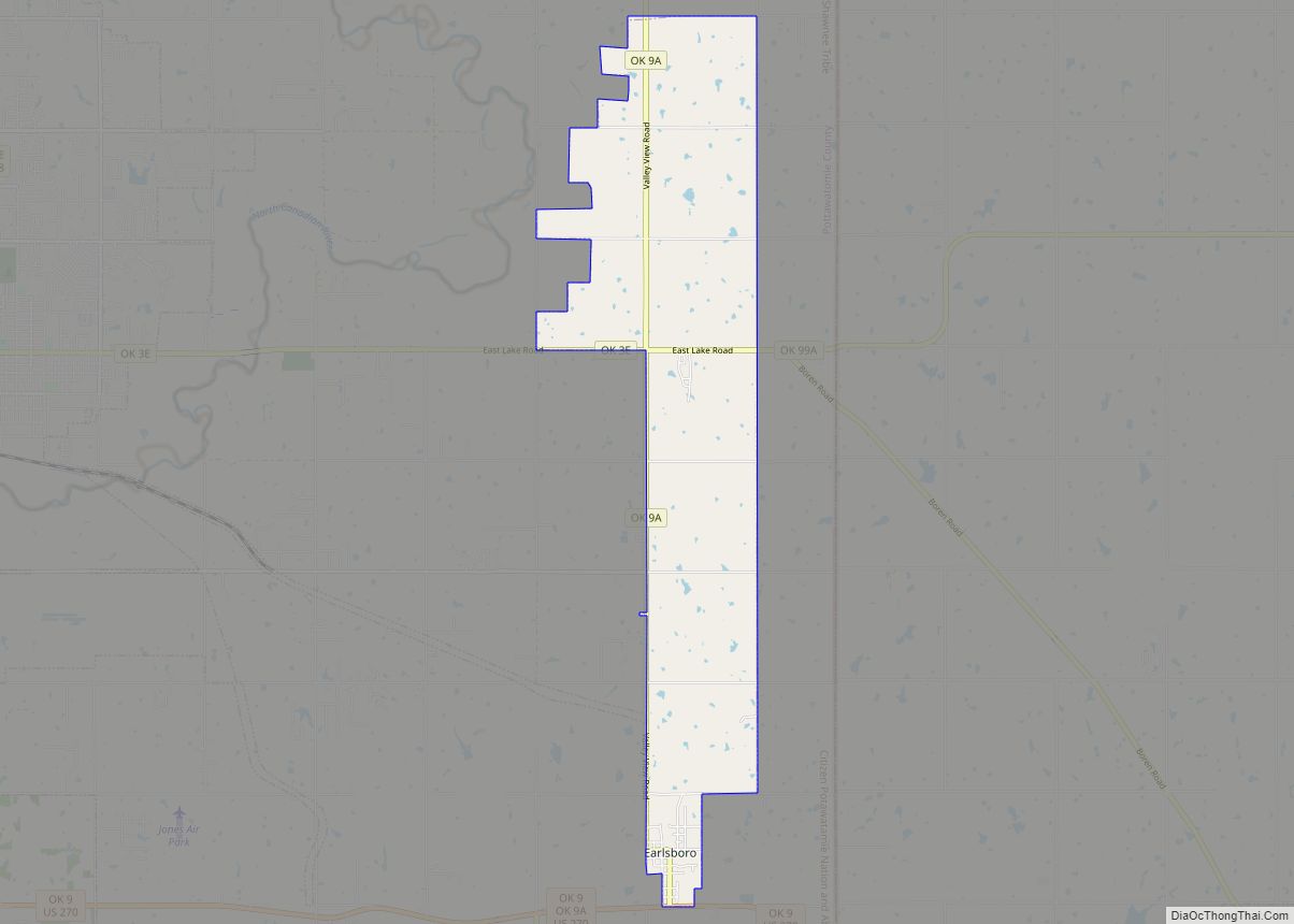
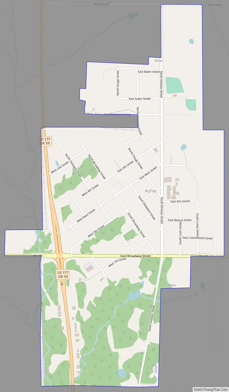
Asher Road Map
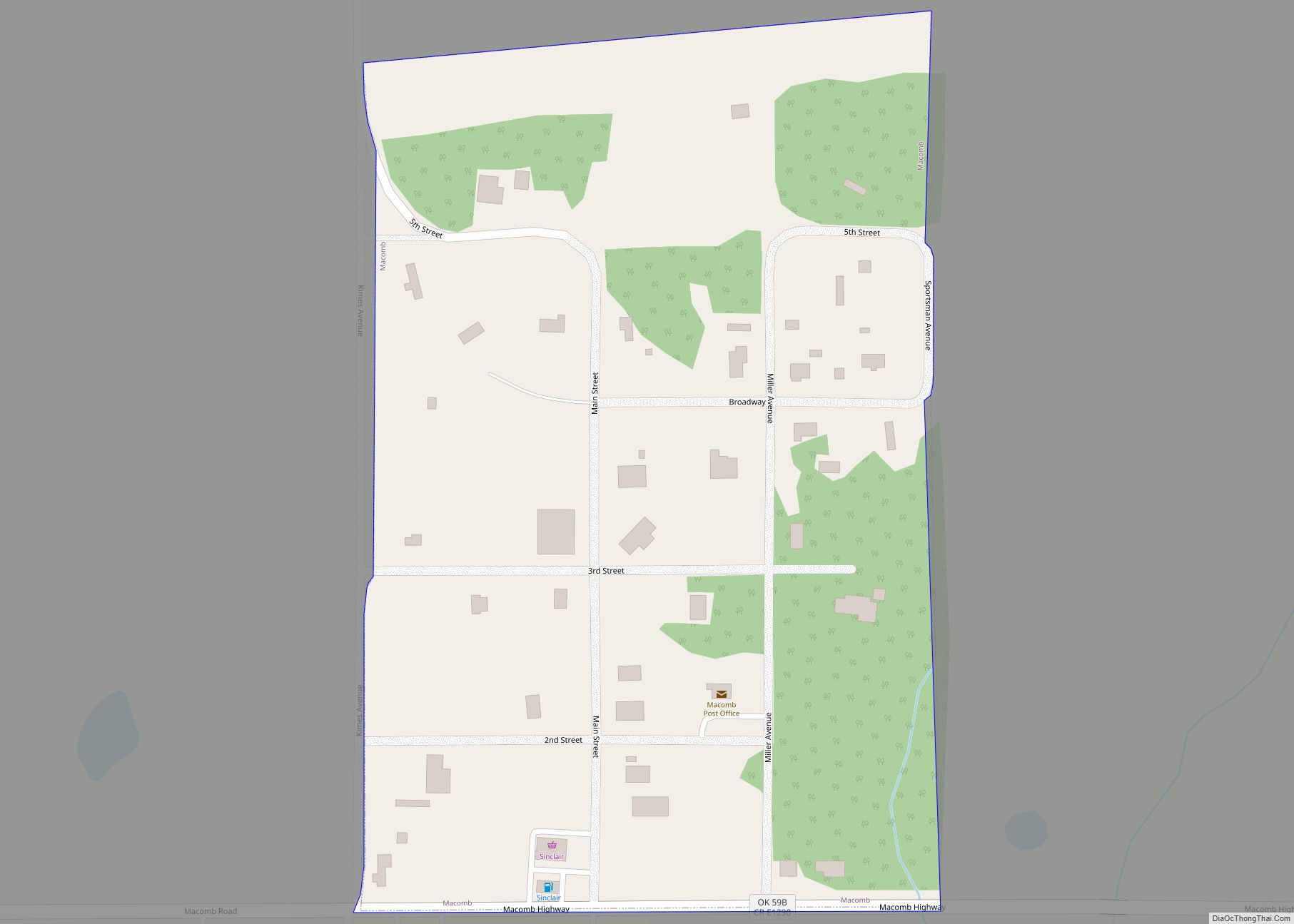
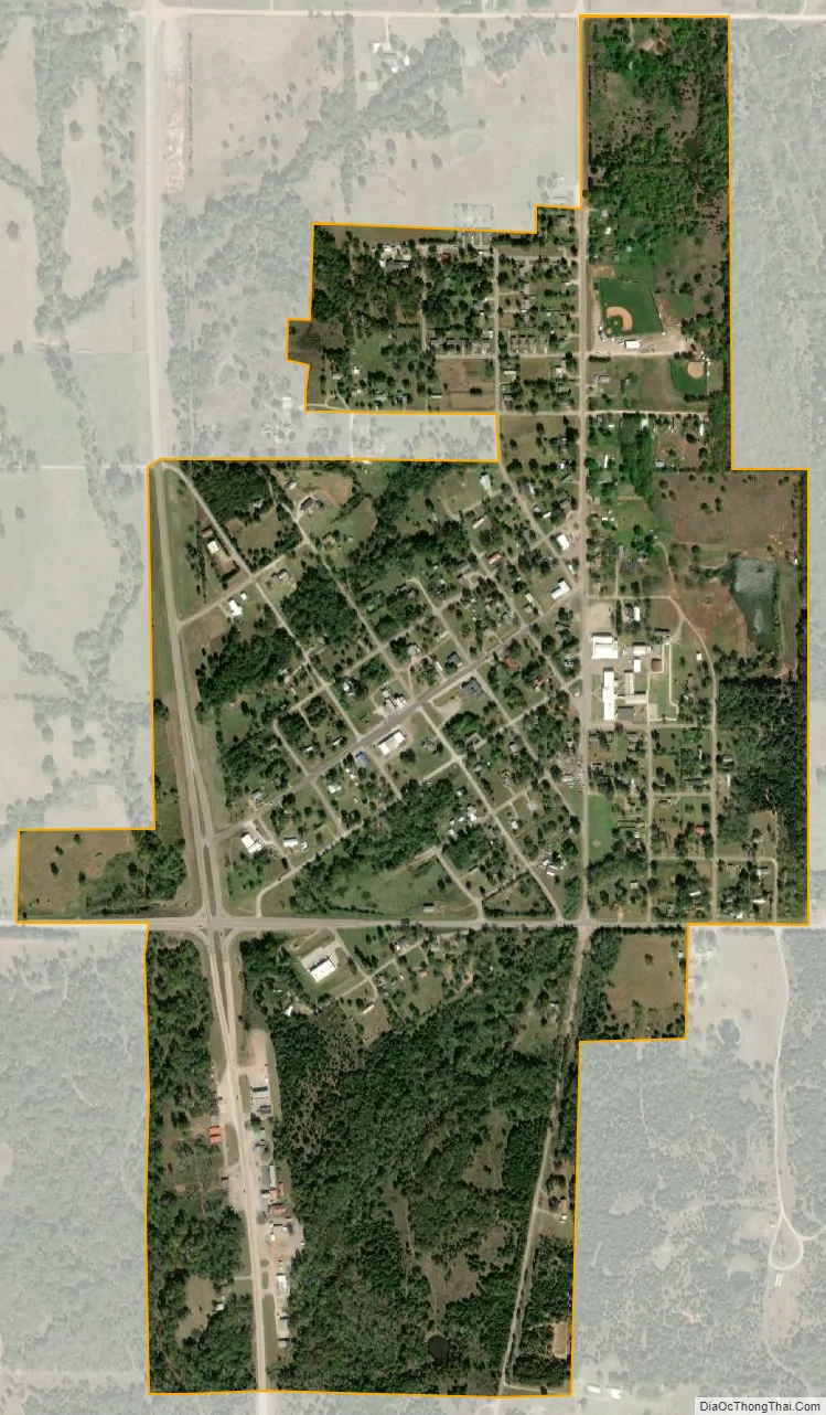
Asher city Satellite Map
Geography
Asher is located at 34°59′19″N 96°55′36″W / 34.98861°N 96.92667°W / 34.98861; -96.92667 (34.988580, -96.926550), at the intersection of U.S. Highway 177 and State Highway 39 in Pottawatomie County. According to the United States Census Bureau, the town has a total area of 0.8 square miles (2.1 km), all land.
Nearby areas
Asher is approximately 30 miles (48 km) south of I-40 and 34 miles (55 km) east of I-35. Nearby cities (with a 15,000+ population) include Ada (21 miles south) and Shawnee (27 miles north). Asher is located two miles (3 km) west of Chisholm Spring, once the site of a trading post operated by Jesse Chisholm, for whom the famous cattle trail was named. A Chisholm family home and cemetery are also located in Asher. The Sacred Heart Mission Site is nine miles east of Asher.
See also
Map of Oklahoma State and its subdivision:- Adair
- Alfalfa
- Atoka
- Beaver
- Beckham
- Blaine
- Bryan
- Caddo
- Canadian
- Carter
- Cherokee
- Choctaw
- Cimarron
- Cleveland
- Coal
- Comanche
- Cotton
- Craig
- Creek
- Custer
- Delaware
- Dewey
- Ellis
- Garfield
- Garvin
- Grady
- Grant
- Greer
- Harmon
- Harper
- Haskell
- Hughes
- Jackson
- Jefferson
- Johnston
- Kay
- Kingfisher
- Kiowa
- Latimer
- Le Flore
- Lincoln
- Logan
- Love
- Major
- Marshall
- Mayes
- McClain
- McCurtain
- McIntosh
- Murray
- Muskogee
- Noble
- Nowata
- Okfuskee
- Oklahoma
- Okmulgee
- Osage
- Ottawa
- Pawnee
- Payne
- Pittsburg
- Pontotoc
- Pottawatomie
- Pushmataha
- Roger Mills
- Rogers
- Seminole
- Sequoyah
- Stephens
- Texas
- Tillman
- Tulsa
- Wagoner
- Washington
- Washita
- Woods
- Woodward
- Alabama
- Alaska
- Arizona
- Arkansas
- California
- Colorado
- Connecticut
- Delaware
- District of Columbia
- Florida
- Georgia
- Hawaii
- Idaho
- Illinois
- Indiana
- Iowa
- Kansas
- Kentucky
- Louisiana
- Maine
- Maryland
- Massachusetts
- Michigan
- Minnesota
- Mississippi
- Missouri
- Montana
- Nebraska
- Nevada
- New Hampshire
- New Jersey
- New Mexico
- New York
- North Carolina
- North Dakota
- Ohio
- Oklahoma
- Oregon
- Pennsylvania
- Rhode Island
- South Carolina
- South Dakota
- Tennessee
- Texas
- Utah
- Vermont
- Virginia
- Washington
- West Virginia
- Wisconsin
- Wyoming