Atoka is a city in and the county seat of Atoka County, Oklahoma, United States. The population was 3,107 at the 2010 census, an increase of 4.0 percent from the figure of 2,988 in 2000. As of 2021, the population has grown to 3,188.
The city was settled by the Choctaw and named in 1867 by a Baptist missionary for Chief Atoka, whose name means “ball ground” in English.
| Name: | Atoka city |
|---|---|
| LSAD Code: | 25 |
| LSAD Description: | city (suffix) |
| State: | Oklahoma |
| County: | Atoka County |
| Elevation: | 583 ft (177 m) |
| Total Area: | 8.40 sq mi (21.75 km²) |
| Land Area: | 8.23 sq mi (21.31 km²) |
| Water Area: | 0.17 sq mi (0.44 km²) |
| Total Population: | 3,195 |
| Population Density: | 388.40/sq mi (149.96/km²) |
| ZIP code: | 74525, 74542 |
| Area code: | 580 |
| FIPS code: | 4003300 |
| GNISfeature ID: | 1089746 |
| Website: | atokaok.org |
Online Interactive Map
Click on ![]() to view map in "full screen" mode.
to view map in "full screen" mode.
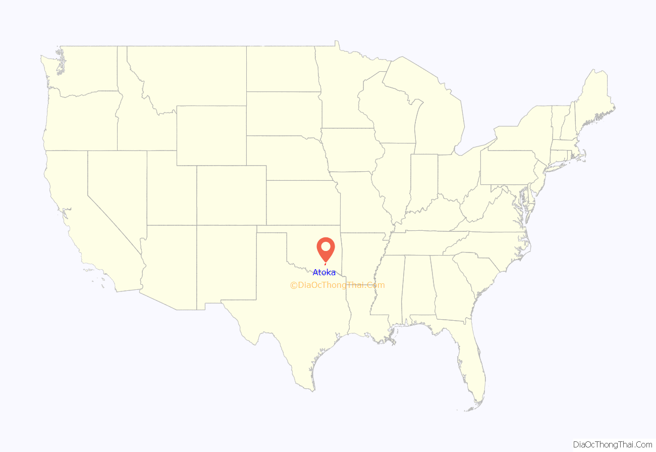
Atoka location map. Where is Atoka city?
History
Atoka was founded by the Choctaw Indians in the 1850s, and named for Captain Atoka, a leader of the Choctaw Nation and the signatory of the Treaty of Dancing Rabbit Creek, which began the process of re-locating the Choctaw people from Mississippi to Oklahoma in 1830. The name “Atoka” is derived from the Choctaw word hitoka (or hetoka), which means “ball ground” in English. He is believed to be buried near the town of Farris. Atoka is the site of the oldest Catholic parish in the Indian Territory, the oldest chapter of the Freemasons in Oklahoma, and the oldest chapter of the Order of the Eastern Star in Oklahoma.
Battle of Middle Boggy Depot
A small Civil War confrontation occurred on February 13, 1864, north of Atoka. Early in 1864, Colonel William A. Philips set out with some 1,500 Union troops from Fort Gibson, Oklahoma, to cut a swath through Confederate Indian Territory (Oklahoma). Their purpose was to break Confederate control over the Indian Territory and gain the support and possibly recruits from the Native Americans.
Along the way, Colonel Phillips sent out an advance of about 350 men toward Boggy Depot, a large Confederate supply base located on the Texas Road with the intention of capturing the outpost. While en route, his command encountered a small Confederate camp on the banks of the Middle Boggy River, made up of around 90 Confederate soldiers.
In the ensuing skirmish 47 Confederate soldiers were killed. Among the dead were those wounded who had been left behind when their comrades retreated. They were found on the battlefield with their throats slashed. There were no Union deaths as a result of the battle.
The Confederate Museum in Atoka (since 2016 the Atoka Museum) commemorates this battle.
Founding
Though the Choctaw Indians had inhabited the area since the 1830s with a small town located near the city today, the city was officially founded by a Baptist missionary named J.S. Murrow in 1867 and quickly supplanted the dying town of Boggy Depot as the chief city in Atoka County, Choctaw Nation, a territorial-era county which included portions of today’s Atoka, Coal, Hughes and Pittsburg counties. A main contributing factor in the early growth of Atoka was the MKT Railroad, which came through the area in 1872. The railroad provided the economic lifeblood to Atoka that any isolated rural town needs to survive and flourish. Many businesses quickly moved to Atoka from Boggy Depot.
Also in 1872, Father Michael Smyth founded St. Patrick’s Catholic Church. This was the first Roman Catholic church in what became the state of Oklahoma. On October 12, 1875, the Sacred Heart Mission, what later became St. Gregory’s University, was founded in Atoka by the Benedictine monks Father Isidore Robot, O.S.B., and Brother Dominic Lambert, O.S.B. In 1876, the mission relocated to near Konawa, Oklahoma and became an abbey.
About 1896, Robert L. Williams, who would become the third Governor of Oklahoma and first Chief Justice of the Oklahoma Supreme Court, moved to Atoka (then a part of the old Indian Territory) from Troy, Alabama. In 1898, land allotments were implemented and town lots were sold, as required by the Dawes Commission.
Recent developments
Despite being strategically located at the intersection of two major highways (especially U.S. 69, a major transportation artery in the region), Atoka is struggling to create a town attractive to both new business and new residents. Even though the town has experienced an economic upturn in the past few years, it still lacks the main thing that ensures economic prosperity and attracts new residents: well-paying jobs.
However, there is a beacon of hope for Atoka in the future. For the past several years, economic growth has been steadily moving northward along U.S. 75 from Dallas, Texas. Two towns located to the south of Atoka, Durant, Oklahoma, and Sherman, Texas, are experiencing tremendous economic and population growth. As this wave of development gradually moves north, the next town in line is the city of Atoka. If the growth continues, it is possible that Atoka could begin to see the type of expansion currently underway across the Red River to the south.
NRHP sites
Thirteen of the eighteen National Register of Historic Places sites in Atoka County are in the city of Atoka:
- Atoka Armory
- Atoka Community Building
- Boggy Depot Site
- First Methodist Church Building
- Indian Citizen Building
- Masonic Temple
- Middle Boggy Battlefield Site and Confederate Cemetery
- Old Atoka County Courthouse
- Old Atoka State Bank
- Pioneer Club
- Joe Ralls House
- Captain James S. Standley House
- Zweigel Hardware Store Building
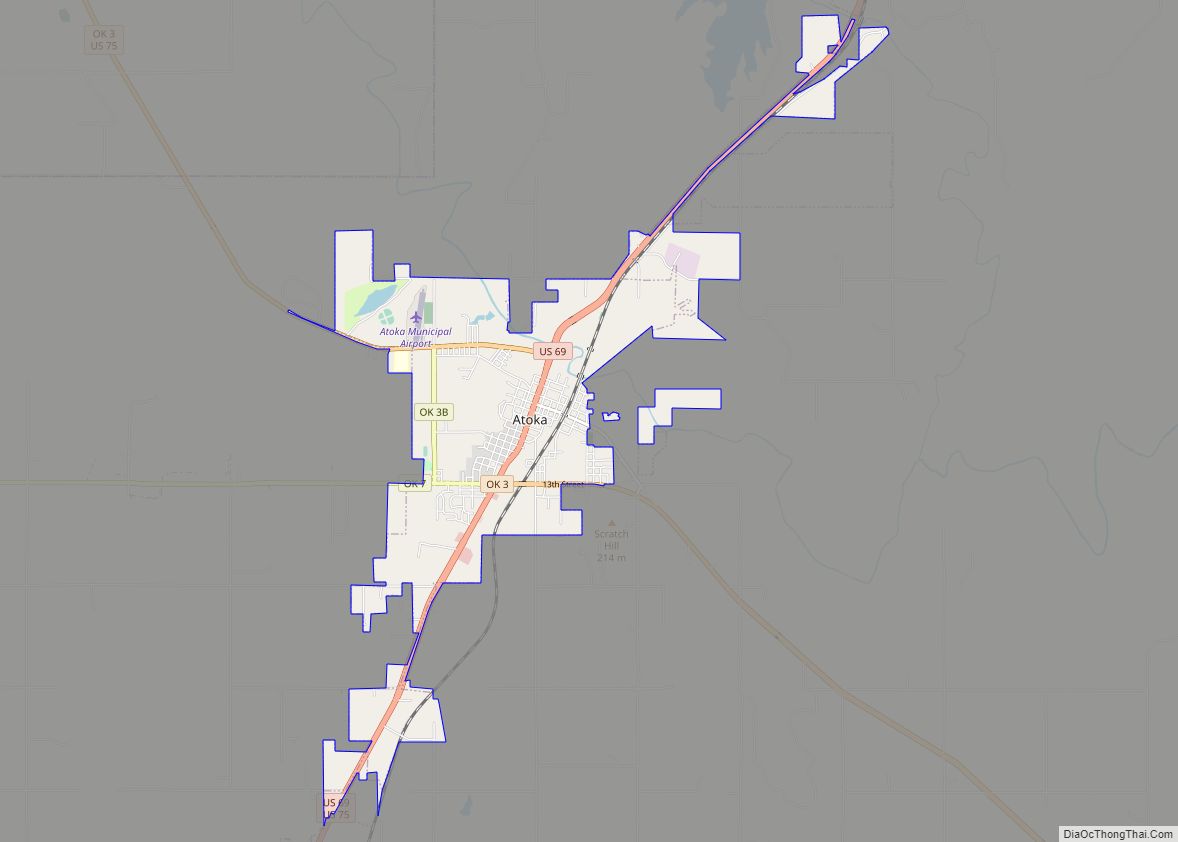
Atoka Road Map
Atoka city Satellite Map
Geography
Atoka is located at 34°23′3″N 96°7′39″W / 34.38417°N 96.12750°W / 34.38417; -96.12750 (34.384206, -96.127577). According to the United States Census Bureau, the city has a total area of 8.5 square miles (22.1 km), of which 8.3 square miles (21.6 km) is land and 0.15 square miles (0.4 km), or 2.00%, is water.
See also
Map of Oklahoma State and its subdivision:- Adair
- Alfalfa
- Atoka
- Beaver
- Beckham
- Blaine
- Bryan
- Caddo
- Canadian
- Carter
- Cherokee
- Choctaw
- Cimarron
- Cleveland
- Coal
- Comanche
- Cotton
- Craig
- Creek
- Custer
- Delaware
- Dewey
- Ellis
- Garfield
- Garvin
- Grady
- Grant
- Greer
- Harmon
- Harper
- Haskell
- Hughes
- Jackson
- Jefferson
- Johnston
- Kay
- Kingfisher
- Kiowa
- Latimer
- Le Flore
- Lincoln
- Logan
- Love
- Major
- Marshall
- Mayes
- McClain
- McCurtain
- McIntosh
- Murray
- Muskogee
- Noble
- Nowata
- Okfuskee
- Oklahoma
- Okmulgee
- Osage
- Ottawa
- Pawnee
- Payne
- Pittsburg
- Pontotoc
- Pottawatomie
- Pushmataha
- Roger Mills
- Rogers
- Seminole
- Sequoyah
- Stephens
- Texas
- Tillman
- Tulsa
- Wagoner
- Washington
- Washita
- Woods
- Woodward
- Alabama
- Alaska
- Arizona
- Arkansas
- California
- Colorado
- Connecticut
- Delaware
- District of Columbia
- Florida
- Georgia
- Hawaii
- Idaho
- Illinois
- Indiana
- Iowa
- Kansas
- Kentucky
- Louisiana
- Maine
- Maryland
- Massachusetts
- Michigan
- Minnesota
- Mississippi
- Missouri
- Montana
- Nebraska
- Nevada
- New Hampshire
- New Jersey
- New Mexico
- New York
- North Carolina
- North Dakota
- Ohio
- Oklahoma
- Oregon
- Pennsylvania
- Rhode Island
- South Carolina
- South Dakota
- Tennessee
- Texas
- Utah
- Vermont
- Virginia
- Washington
- West Virginia
- Wisconsin
- Wyoming
