Billings is a town in northwest Noble County, Oklahoma, United States. The population was 509 at the 2010 census, an increase from the figure of 436 in 2000. It was the childhood home of Oklahoma governor Henry Bellmon.
| Name: | Billings town |
|---|---|
| LSAD Code: | 43 |
| LSAD Description: | town (suffix) |
| State: | Oklahoma |
| County: | Noble County |
| Elevation: | 1,014 ft (309 m) |
| Total Area: | 0.67 sq mi (1.74 km²) |
| Land Area: | 0.67 sq mi (1.74 km²) |
| Water Area: | 0.00 sq mi (0.00 km²) |
| Total Population: | 578 |
| Population Density: | 858.84/sq mi (331.56/km²) |
| ZIP code: | 74630 |
| Area code: | 580 |
| FIPS code: | 4006100 |
| GNISfeature ID: | 1090137 |
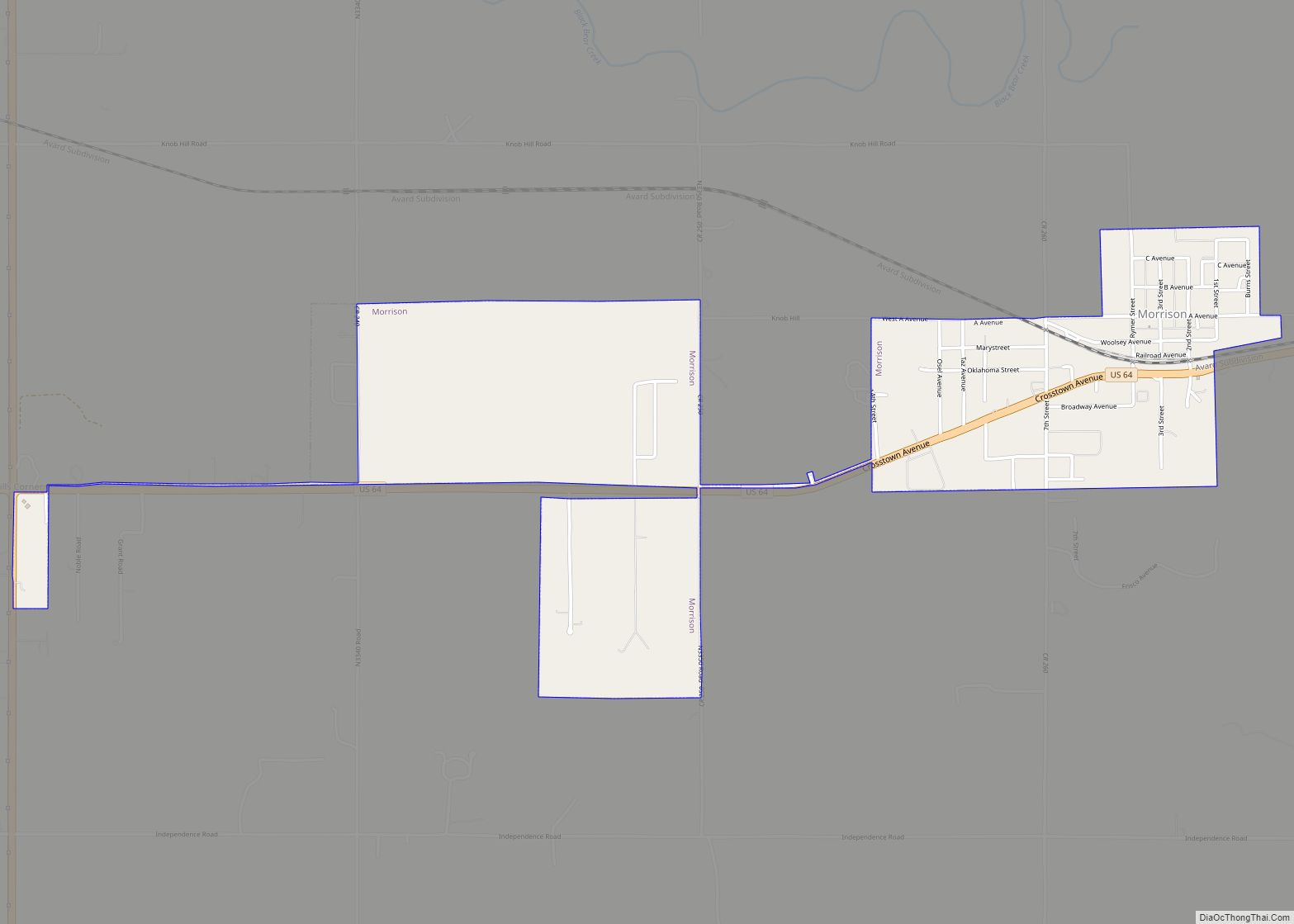
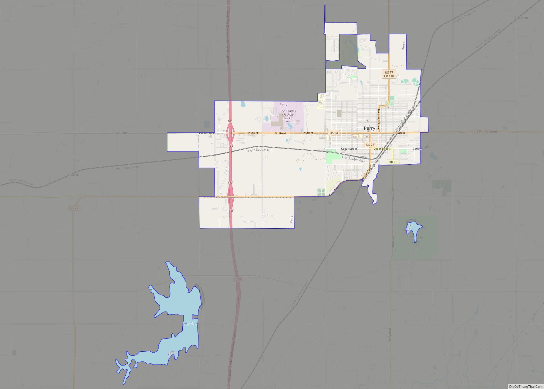
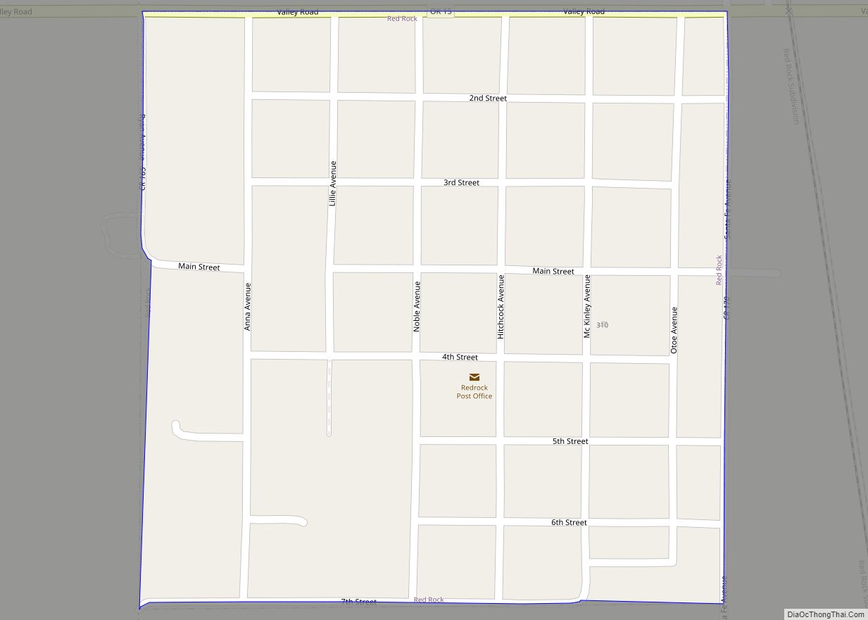
Online Interactive Map
Click on ![]() to view map in "full screen" mode.
to view map in "full screen" mode.
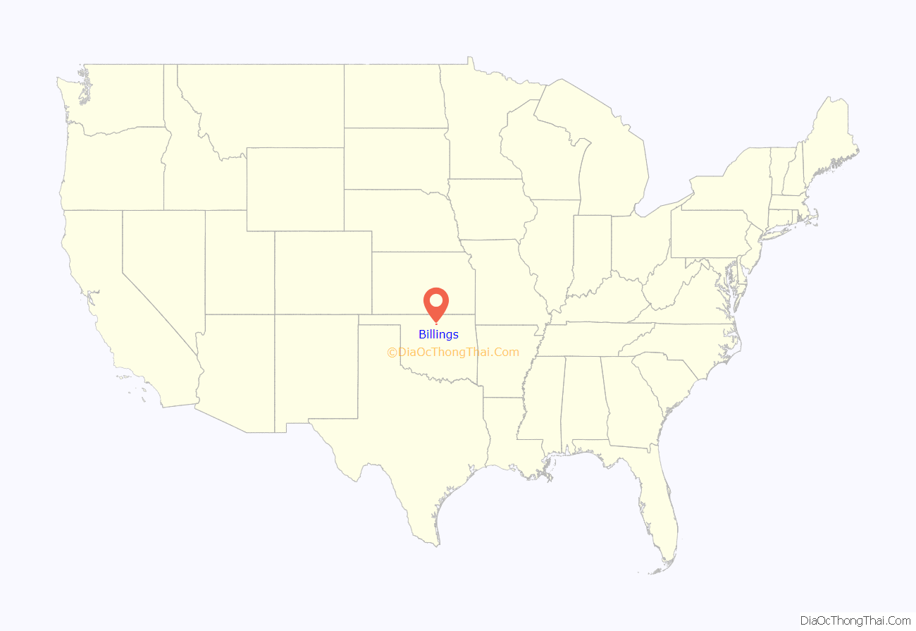
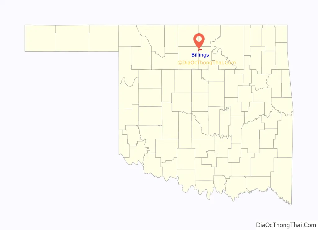
Billings location map. Where is Billings town?
History
Billings was called “White Rock”, when it was founded in 1893, at the time of the Cherokee Strip Land Run. It was then 3 miles (4.8 km) east and 2 miles (3.2 km) south of its present site. Billings’ economy was based on agriculture in the surrounding area. The Enid and Tonkawa Railway (acquired by the Chicago, Rock Island and Pacific Railway in 1900) built a spur line out from North Enid in 1899. The railroad, however, did not go through White Rock, so the residents soon moved to the present location. The new town opened October 23, 1899 and was renamed for M. O. Billings, a director of the Billings Town Company.
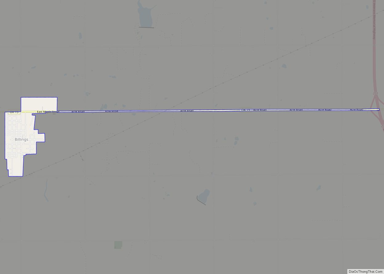
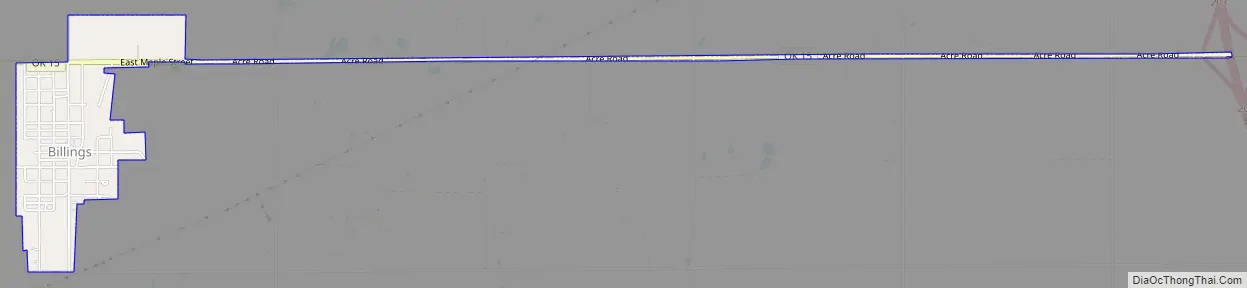
Billings Road Map
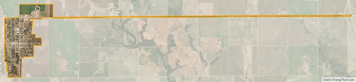
Billings city Satellite Map
Geography
Billings is located at 36°32′06″N 97°25′46″W / 36.535040°N 97.429505°W / 36.535040; -97.429505. It is 35 miles (56 km) from Enid and Ponca City. According to the United States Census Bureau, the town has a total area of 0.6 square miles (1.6 km), all land.
Climate
According to the Köppen Climate Classification system, Billings has a humid subtropical climate, abbreviated “Cfa” on climate maps. The hottest temperature recorded in Billings was 113 °F (45.0 °C) on July 7, 1996, while the coldest temperature recorded was −19 °F (−28.3 °C) on February 10–11, 2011.
See also
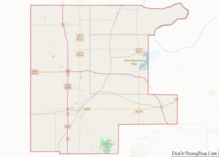
Map of Oklahoma State and its subdivision:- Adair
- Alfalfa
- Atoka
- Beaver
- Beckham
- Blaine
- Bryan
- Caddo
- Canadian
- Carter
- Cherokee
- Choctaw
- Cimarron
- Cleveland
- Coal
- Comanche
- Cotton
- Craig
- Creek
- Custer
- Delaware
- Dewey
- Ellis
- Garfield
- Garvin
- Grady
- Grant
- Greer
- Harmon
- Harper
- Haskell
- Hughes
- Jackson
- Jefferson
- Johnston
- Kay
- Kingfisher
- Kiowa
- Latimer
- Le Flore
- Lincoln
- Logan
- Love
- Major
- Marshall
- Mayes
- McClain
- McCurtain
- McIntosh
- Murray
- Muskogee
- Noble
- Nowata
- Okfuskee
- Oklahoma
- Okmulgee
- Osage
- Ottawa
- Pawnee
- Payne
- Pittsburg
- Pontotoc
- Pottawatomie
- Pushmataha
- Roger Mills
- Rogers
- Seminole
- Sequoyah
- Stephens
- Texas
- Tillman
- Tulsa
- Wagoner
- Washington
- Washita
- Woods
- Woodward
- Alabama
- Alaska
- Arizona
- Arkansas
- California
- Colorado
- Connecticut
- Delaware
- District of Columbia
- Florida
- Georgia
- Hawaii
- Idaho
- Illinois
- Indiana
- Iowa
- Kansas
- Kentucky
- Louisiana
- Maine
- Maryland
- Massachusetts
- Michigan
- Minnesota
- Mississippi
- Missouri
- Montana
- Nebraska
- Nevada
- New Hampshire
- New Jersey
- New Mexico
- New York
- North Carolina
- North Dakota
- Ohio
- Oklahoma
- Oregon
- Pennsylvania
- Rhode Island
- South Carolina
- South Dakota
- Tennessee
- Texas
- Utah
- Vermont
- Virginia
- Washington
- West Virginia
- Wisconsin
- Wyoming