Blackwell is a city in Kay County, Oklahoma, United States, located at the intersection of U.S. Highway 177 and State Highway 11 along Interstate 35 (exit #222). The population was 7,092 at the 2010 census and 6,085 in the 2020 Census. Blackwell was established following the September 16, 1893 Cherokee Outlet land run by A. J. Blackwell. Blackwell has an agricultural and fossil fuel based economy.
| Name: | Blackwell city |
|---|---|
| LSAD Code: | 25 |
| LSAD Description: | city (suffix) |
| State: | Oklahoma |
| County: | Kay County |
| Elevation: | 1,014 ft (309 m) |
| Total Area: | 5.58 sq mi (14.46 km²) |
| Land Area: | 5.58 sq mi (14.46 km²) |
| Water Area: | 0.00 sq mi (0.00 km²) |
| Total Population: | 6,085 |
| Population Density: | 1,090.11/sq mi (420.89/km²) |
| ZIP code: | 74631 |
| Area code: | 580 |
| FIPS code: | 4006600 |
| GNISfeature ID: | 1090237 |
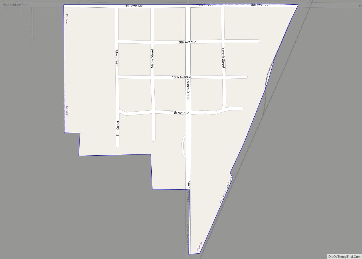
Online Interactive Map
Click on ![]() to view map in "full screen" mode.
to view map in "full screen" mode.
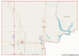
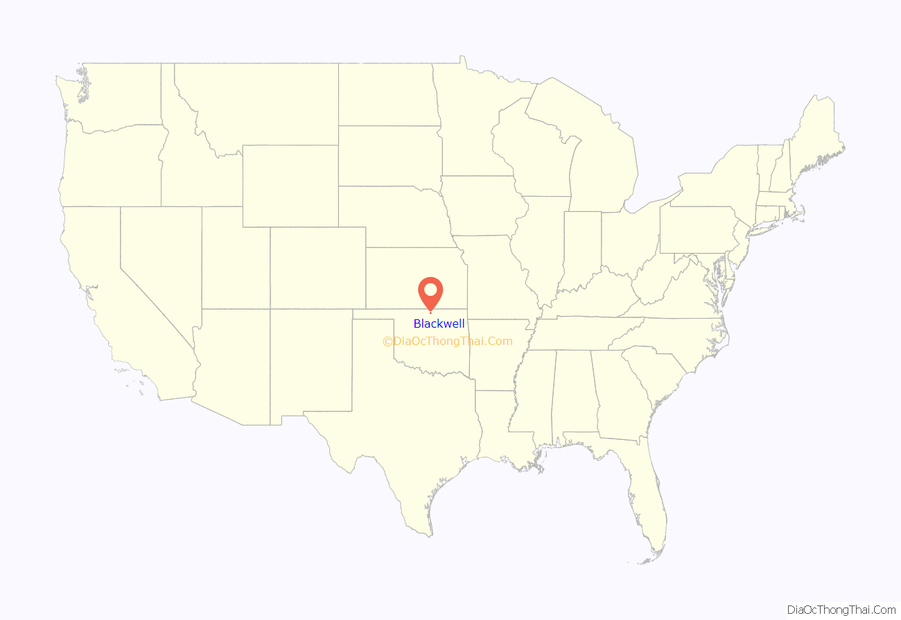
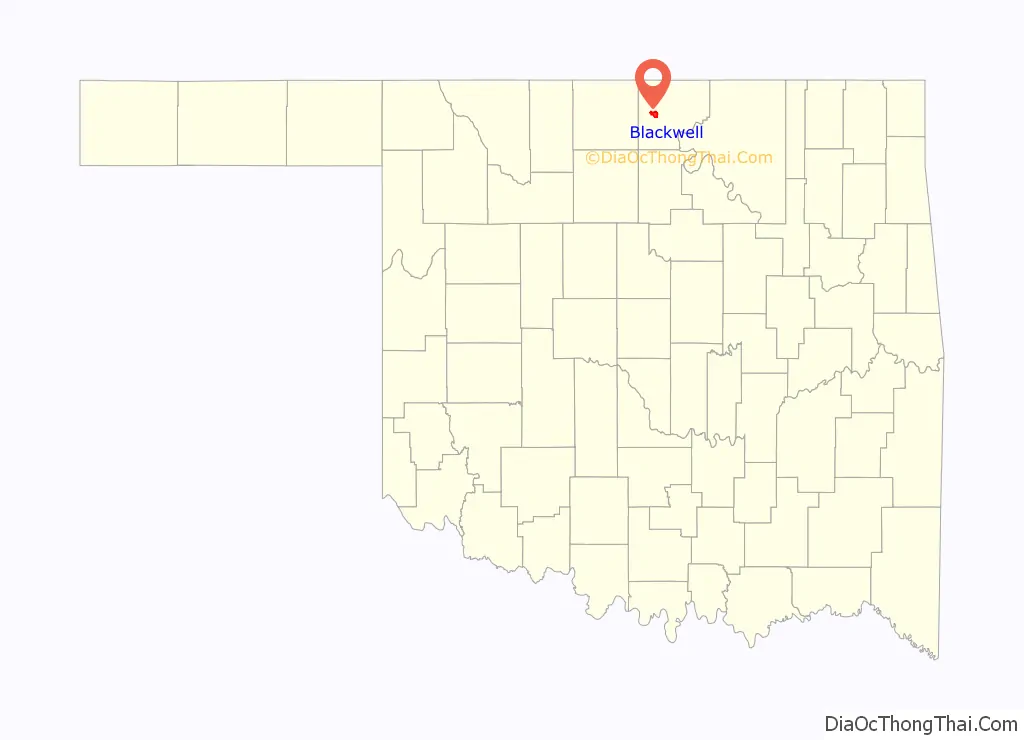
Blackwell location map. Where is Blackwell city?
History
Founding
Blackwell came into existence during the Cherokee Outlet Opening on September 16, 1893 in the run known as the Cherokee Strip Land Run. The town is named for A. J. Blackwell, who was the dominant force in its founding. Andrew Blackwell had settled in the area in 1882, having married the former Rosa Vaught who was of Cherokee descent, he was eligible to found the city. Blackwell served as Justice of the Peace and Mayor of Blackwell.
Blackwell’s first school opened in September 1893 in a small, frame building with fifty-two students in attendance. A gradual enrollment increase created a need for ten teachers by 1899.
A post office was established on December 1, 1893. Due to a struggle for regional prominence between Blackwell and nearby Parker, the post office was named Parker from April 2, 1894, to February 4, 1895. After that, the name reverted to Blackwell.
Prior to the Civil Rights Movement Blackwell had a reputation as a sundown town, having kept out African Americans through violent expulsion and the display of a sign warning them to leave town by sunset. Blackwell’s expulsion of its African-American residents around 1893 is described in the 1967 book From Slavery to Freedom by John Hope Franklin.
Zinc Smelter
The Blackwell Zinc Company smelter first began operations in 1917. In 1974, the 80-acre Blackwell Zinc Smelter facility ceased operations. At the time, it was the city’s largest employer, employing 800 people in 1972, and over 1,000 at its peak. It also was one of the largest zinc smelter facilities in the United States. After its closure the land and was donated to the Blackwell Industrial Authority (BIA). Soil from the land was repurposed throughout the city, leading to widespread contamination of air and water, including the Chikaskia River.
Additionally, one of the plant’s two Corliss stationary steam engines was moved to Pawnee Oklahoma and preserved. This engine is run for viewing by the public on the first weekend of May.
The Oklahoma Department of Environmental Quality has been overseeing remediation of contamination at the industrial park, groundwater, and soil throughout parts of the city since 1992. Phelps Dodge Corporation, a subsidiary of Freeport-McMoRan Copper & Gold Inc, has owned the site since 1999. On October 15, 2009 the City of Blackwell filed suit against Freeport-McMoRan calling the contamination a nuisance, and alleging that 58 million pounds of toxic waste remained in the city, causing illness within its 7,200 residents. Following several changes of venue between Federal court and Kay County courts, the City of Blackwell and Freeport settled for 54-million dollars on February 4, 2010.
1955 F5 tornado
Blackwell was a victim of the 1955 Great Plains tornado outbreak, a deadly tornado outbreak that struck the southern and central U.S Great Plains States on May 25–26, 1955. It produced at least 46 tornadoes across seven states including two F5 tornadoes in Blackwell, Oklahoma, and Udall, Kansas. The outbreak killed 102 from three tornadoes while injuring hundreds more. Unusual electromagnetic activity was observed, including St. Elmo’s fire.
The Blackwell tornado formed in Noble County at around 9:00 pm CDT before crossing through the eastern portions of the Kay County town of Blackwell as an F5 wedge tornado. Then about 400 yd (0.23 mi) wide (Grazulis 1991), It claimed the lives of 20 people in Blackwell and injured over 200 before crossing into and dissipating over Cowley County, Kansas. Along with destroying nearly 200 homes, the tornado demolished two of the town’s main employers, the Acme Foundry and the Hazel Atlas Glass plant. 400 homes were destroyed or swept away, and 500 other homes were damaged. Sixty businesses were also destroyed and the local hospital sustained major damage. Most of the western half of the town was spared the worst of the damage.
To commemorate the 1955 tornado, the Top of Oklahoma Historical Society Museum housed in the 1912 Electric Park Pavilion in Blackwell put on a special exhibition “F5 in 1955″ which included a ‘tornado room’ which displayed artifacts, information, and photographs of the event. Over a year in the making, the exhibit occupied an entire room and was made possible with financial support from the city of Blackwell. “Working with the wonderful people at the Top of Oklahoma Museum and the Udall Historical Society was the best part of the creation of the “F5 in 1955” exhibit,” said Dianne Braden, tornado survivor. “To commemorate the event and the loss of 107 people was important to all of us. There’s something for every age in the exhibit.”
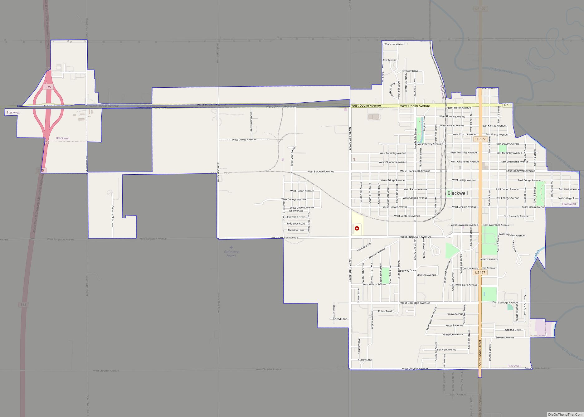
Blackwell Road Map
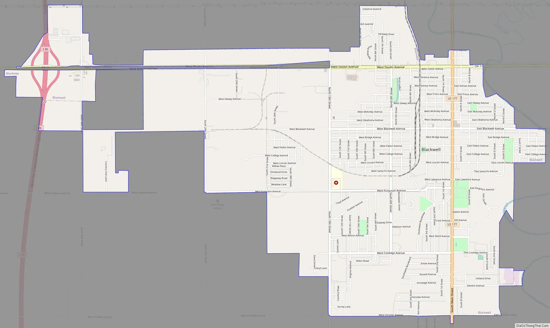
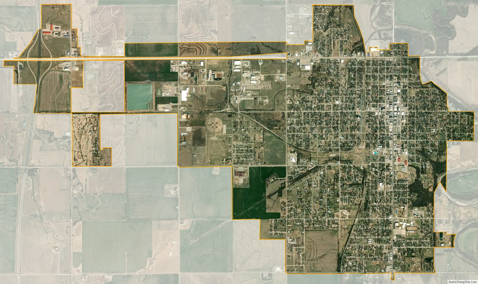
Blackwell city Satellite Map
Geography
Blackwell is located at 36°48′6″N 97°17′23″W / 36.80167°N 97.28972°W / 36.80167; -97.28972 (36.801764, -97.289856), along the Chikaskia River and to the east of Interstate 35. According to the United States Census Bureau, the city has a total area of 5.5 square miles (14 km), of which, 5.4 square miles (14 km) is land and 0.18% is water.
Climate
In May 1906, an L5 meteorite fell, landing in Blackwell, Oklahoma. On May 25, 1955, a deadly F5 tornado, part of the 1955 Great Plains tornado outbreak, struck Blackwell at approximately 9:30 pm and cut a swath of destruction through the northeastern portion of the city, roughly centered in the neighborhoods surrounding Riverside Park. 20 residents died and over 250 were injured. The tornado outbreak included another F5 tornado that struck Udall, Kansas killing 80 people and injuring over 270. The outbreak spawned 19 tornadoes across Oklahoma, Texas and Kansas alone.
See also
Map of Oklahoma State and its subdivision:- Adair
- Alfalfa
- Atoka
- Beaver
- Beckham
- Blaine
- Bryan
- Caddo
- Canadian
- Carter
- Cherokee
- Choctaw
- Cimarron
- Cleveland
- Coal
- Comanche
- Cotton
- Craig
- Creek
- Custer
- Delaware
- Dewey
- Ellis
- Garfield
- Garvin
- Grady
- Grant
- Greer
- Harmon
- Harper
- Haskell
- Hughes
- Jackson
- Jefferson
- Johnston
- Kay
- Kingfisher
- Kiowa
- Latimer
- Le Flore
- Lincoln
- Logan
- Love
- Major
- Marshall
- Mayes
- McClain
- McCurtain
- McIntosh
- Murray
- Muskogee
- Noble
- Nowata
- Okfuskee
- Oklahoma
- Okmulgee
- Osage
- Ottawa
- Pawnee
- Payne
- Pittsburg
- Pontotoc
- Pottawatomie
- Pushmataha
- Roger Mills
- Rogers
- Seminole
- Sequoyah
- Stephens
- Texas
- Tillman
- Tulsa
- Wagoner
- Washington
- Washita
- Woods
- Woodward
- Alabama
- Alaska
- Arizona
- Arkansas
- California
- Colorado
- Connecticut
- Delaware
- District of Columbia
- Florida
- Georgia
- Hawaii
- Idaho
- Illinois
- Indiana
- Iowa
- Kansas
- Kentucky
- Louisiana
- Maine
- Maryland
- Massachusetts
- Michigan
- Minnesota
- Mississippi
- Missouri
- Montana
- Nebraska
- Nevada
- New Hampshire
- New Jersey
- New Mexico
- New York
- North Carolina
- North Dakota
- Ohio
- Oklahoma
- Oregon
- Pennsylvania
- Rhode Island
- South Carolina
- South Dakota
- Tennessee
- Texas
- Utah
- Vermont
- Virginia
- Washington
- West Virginia
- Wisconsin
- Wyoming