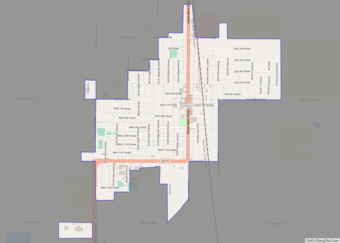
Newkirk is a city and county seat of Kay County, Oklahoma, United States. The population was 2,172 at the 2020 census.
| Name: | Newkirk city |
|---|---|
| LSAD Code: | 25 |
| LSAD Description: | city (suffix) |
| State: | Oklahoma |
| County: | Kay County |
| Elevation: | 1,152 ft (351 m) |
| Total Area: | 1.35 sq mi (3.51 km²) |
| Land Area: | 1.35 sq mi (3.51 km²) |
| Water Area: | 0.00 sq mi (0.00 km²) |
| Total Population: | 2,172 |
| Population Density: | 1,602.95/sq mi (619.09/km²) |
| ZIP code: | 74647 |
| Area code: | 580 |
| FIPS code: | 4051300 |
| GNISfeature ID: | 1095856 |
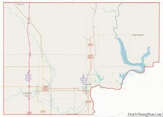
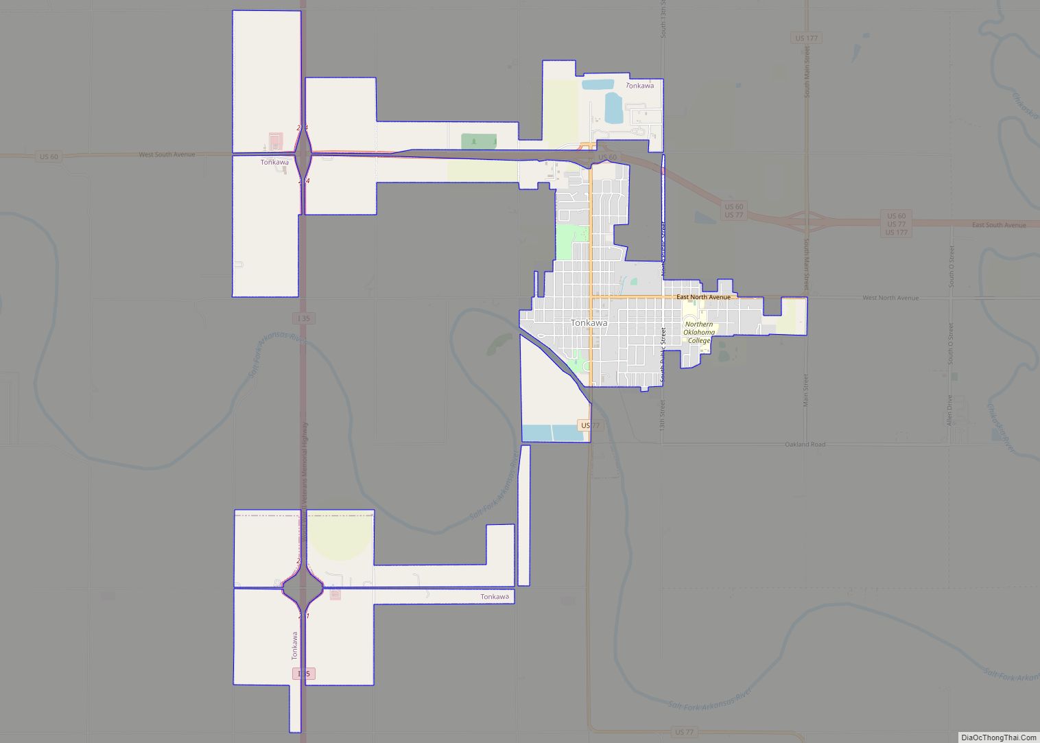
Online Interactive Map
Click on ![]() to view map in "full screen" mode.
to view map in "full screen" mode.
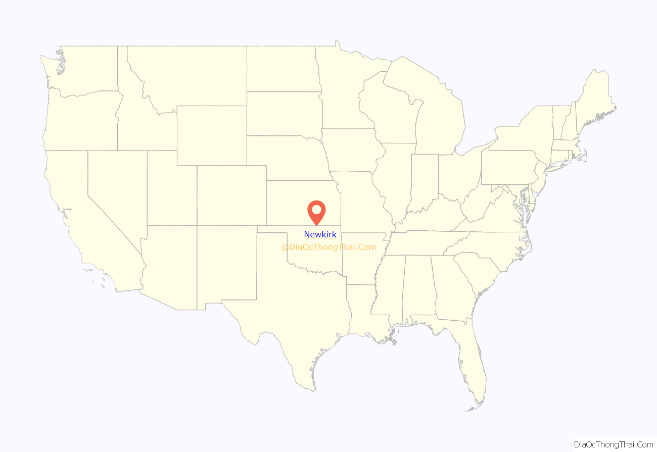
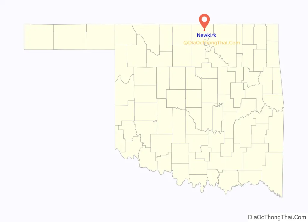
Newkirk location map. Where is Newkirk city?
History
Newkirk is on land known as the Cherokee Outlet (popularly called the “Cherokee Strip”), which belonged to the Cherokee Indians until 1893. The Cherokee acquiesced to the demand of the president and Department of the Interior to sell the land, then part of Oklahoma Territory, to the U.S. government. Efforts to buy the land from the Cherokee began in 1889, but were not concluded until 1893 when Congress authorized the purchase and the land was opened to non-Indian settlement by means of the Cherokee Strip Land Run on September 16, 1893. An estimated 100,000 people raced to claim plots of land.
The town of Newkirk had been laid out before the run by the government as the county seat of “K” county. It was named Lamoreaux after Silas W. Lamoreaux, who was commissioner of the General Land Office. Two miles north of Lamoreaux was Kirk, a Santa Fe Railroad cattle-shipping station.
That first day of the land run, 5,000 people staked claims in and near Lamoreaux. Claimants were allowed two town lots: one for a home and one for a business. In designated rural areas, claimants could select 160 acres. The population quickly dropped to about 2,100 as disappointed land seekers left. A town government was organized and among the first items of business was to change the name of the town from Lamoreaux to Santa Fe, but the railroad rejected the name as several other places were named Santa Fe. Meanwhile, the railroad station at Kirk had been closed, so the name Newkirk was chosen on November 8, 1893.
In 1901, Newkirk suffered a major reversal when nearly a whole block of its thriving downtown burned. The wooden buildings that burned were mostly replaced with stone buildings from the distinctive yellow limestone quarried four miles east of Newkirk. “Imposing stone buildings began to give dignity and permanence to the dusty streets, while wood-frame homes gradually replaced the ‘proving-up’ homes of the Run. Young Elms, Cottonwoods, shrubs, and flowers began to change the once treeless prairies into shaded garden spots.” Newkirk’s business district was placed on the National Register as a historic district in 1984.
After Oklahoma became a state in 1907, Newkirk, Blackwell, and Ponca City vied to become the county seat. An election on September 3, 1908, gave Blackwell 2,038 votes, Newkirk 2,063, and Ponca City 1,388. Governor Haskell declared Newkirk the winner. Blackwell sued, but lost, and Newkirk retained the title. The present Kay County courthouse was built in 1926, replacing the original 1894 wooden structure that had burned.
In 1992, Newkirk became the first small town to receive the Oklahoma Main Street Award. Newkirk was also the name of the town in the movie Twister‘s drive-in movie scene took place, though it was filmed in Guthrie, Oklahoma.
The Kay County Courthouse in Newkirk was constructed in 1925 -1926, and at almost 100 years of age the original courthouse has many problems that will be addressed by a new annex which was announced by the Kay County Board of Commissioners in 2020. Some of those problems include a leaking roof, electrical and plumbing problems, as well as a lack of space for the district court system. To make room to expand the court system, all other county offices will be relocated to the Annex, leaving the Courthouse strictly for the court system.
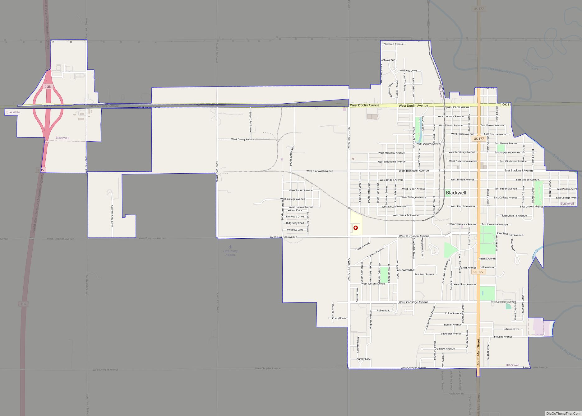
Newkirk Road Map
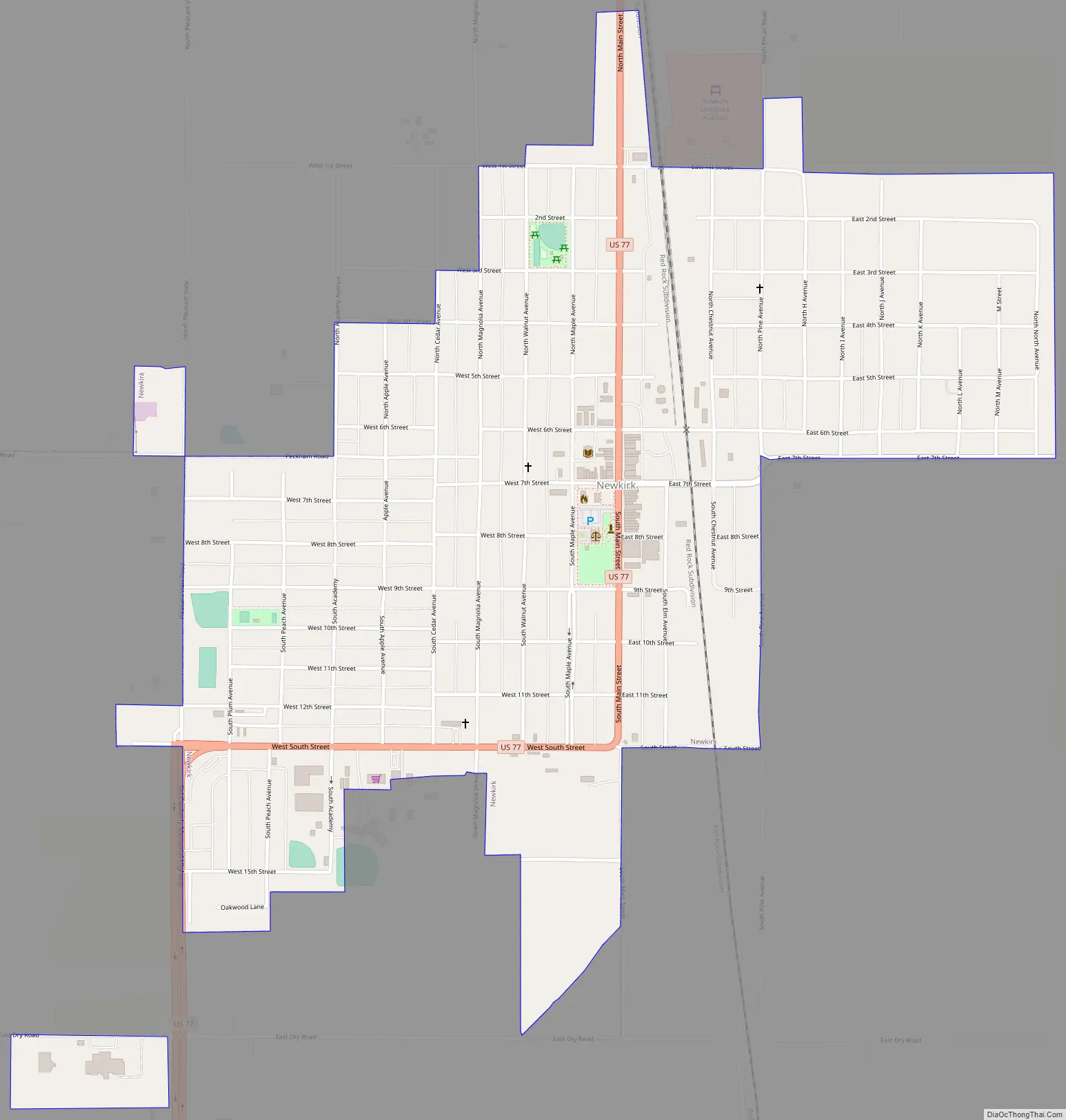
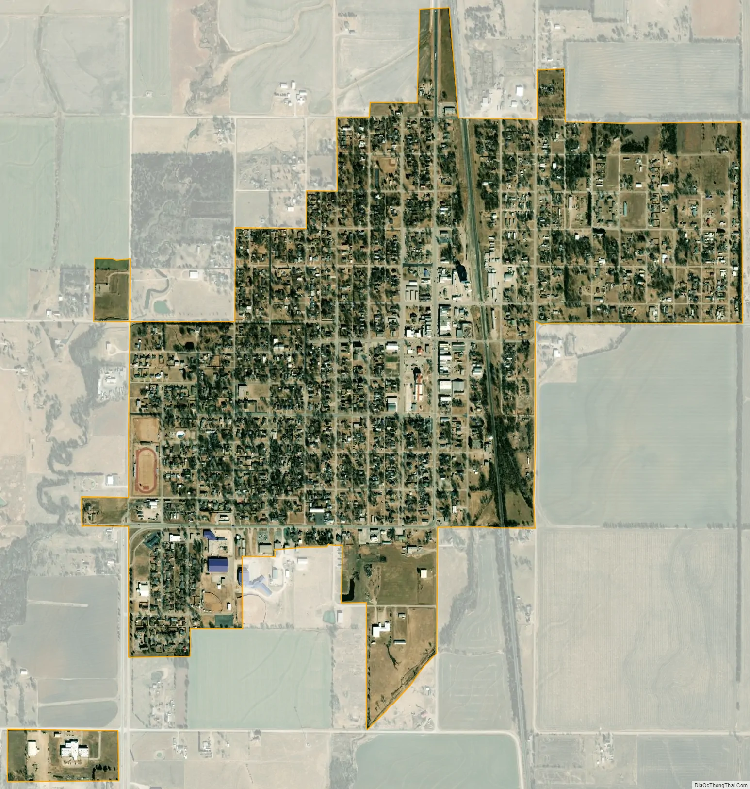
Newkirk city Satellite Map
Geography
Newkirk is located at 36°52′56″N 97°3′12″W / 36.88222°N 97.05333°W / 36.88222; -97.05333 (36.8822549, -97.0533717). According to the United States Census Bureau, the city has an area of 1.3 square miles (3.4 km), all land.
Newkirk’s elevation is 1,152 feet (351 m). It is on mostly flat terrain with no large watercourses nearby, and at the boundary between two ecoregions: the Central Great Plains and the Flint Hills. West of the town on the Great Plains, the countryside is rich agricultural land, especially for wheat, soybeans, and cattle. East of town, the Flint Hills’ terrain is more rugged and rocky and is primarily used for cattle ranching. Natural vegetation is mostly prairie, but stream valleys often have forests of cottonwood, oak, elm, ash, pecan, sycamore, and other species. Scrub oak and red cedar dot hillsides. Wildlife is abundant, including whitetail deer, turkey, bobwhite quail, coyote, bobcat, and waterfowl. A cougar attack on a person seven miles (11 km) east of Newkirk was reported in 2002.
Newkirk lies 8 mi (13 km) south of the Kansas–Oklahoma border. A casino and other facilities owned by the Kaw Indian tribe are 1 mi (1.6 km) away. The Arkansas River is 6 mi (9.7 km) east of town. The bridge across the river crosses the upper end of Kaw Lake. Near the river are the Deer Creek/Bryson Paddock sites, where archeologists excavated the ruins of two prominent 18th-century Wichita Indian villages. Beyond the river, continuing east, is the lightly populated, tallgrass prairie region with many large ranches. Locals call this region “The Osage” after Osage County and the Osage Indians. The Washunga cemetery of the Kaw Indians is 2 mi (3.2 km) north of Newkirk. It was moved there to avoid having it covered by water when a dam created Kaw Lake. The Chilocco Indian Agricultural School, now closed, was 7 mi (11 km) north.
Climate
Newkirk’s climate can be described as extreme continental, with an average low temperature in January of 20 °F (-7 °C) and an average high temperature in July of 92 °F (33 °C). Winter temperatures sometimes fall below zero (-18 °C) and 100 °F (38 °C) days are common in summer. Average precipitation is 37 in (94 cm) per year, but highly variable. May and June are on average the wettest months and December, January, and February the driest. Tornadoes are common in the region, but Newkirk has never suffered major damage.
See also
Map of Oklahoma State and its subdivision:- Adair
- Alfalfa
- Atoka
- Beaver
- Beckham
- Blaine
- Bryan
- Caddo
- Canadian
- Carter
- Cherokee
- Choctaw
- Cimarron
- Cleveland
- Coal
- Comanche
- Cotton
- Craig
- Creek
- Custer
- Delaware
- Dewey
- Ellis
- Garfield
- Garvin
- Grady
- Grant
- Greer
- Harmon
- Harper
- Haskell
- Hughes
- Jackson
- Jefferson
- Johnston
- Kay
- Kingfisher
- Kiowa
- Latimer
- Le Flore
- Lincoln
- Logan
- Love
- Major
- Marshall
- Mayes
- McClain
- McCurtain
- McIntosh
- Murray
- Muskogee
- Noble
- Nowata
- Okfuskee
- Oklahoma
- Okmulgee
- Osage
- Ottawa
- Pawnee
- Payne
- Pittsburg
- Pontotoc
- Pottawatomie
- Pushmataha
- Roger Mills
- Rogers
- Seminole
- Sequoyah
- Stephens
- Texas
- Tillman
- Tulsa
- Wagoner
- Washington
- Washita
- Woods
- Woodward
- Alabama
- Alaska
- Arizona
- Arkansas
- California
- Colorado
- Connecticut
- Delaware
- District of Columbia
- Florida
- Georgia
- Hawaii
- Idaho
- Illinois
- Indiana
- Iowa
- Kansas
- Kentucky
- Louisiana
- Maine
- Maryland
- Massachusetts
- Michigan
- Minnesota
- Mississippi
- Missouri
- Montana
- Nebraska
- Nevada
- New Hampshire
- New Jersey
- New Mexico
- New York
- North Carolina
- North Dakota
- Ohio
- Oklahoma
- Oregon
- Pennsylvania
- Rhode Island
- South Carolina
- South Dakota
- Tennessee
- Texas
- Utah
- Vermont
- Virginia
- Washington
- West Virginia
- Wisconsin
- Wyoming