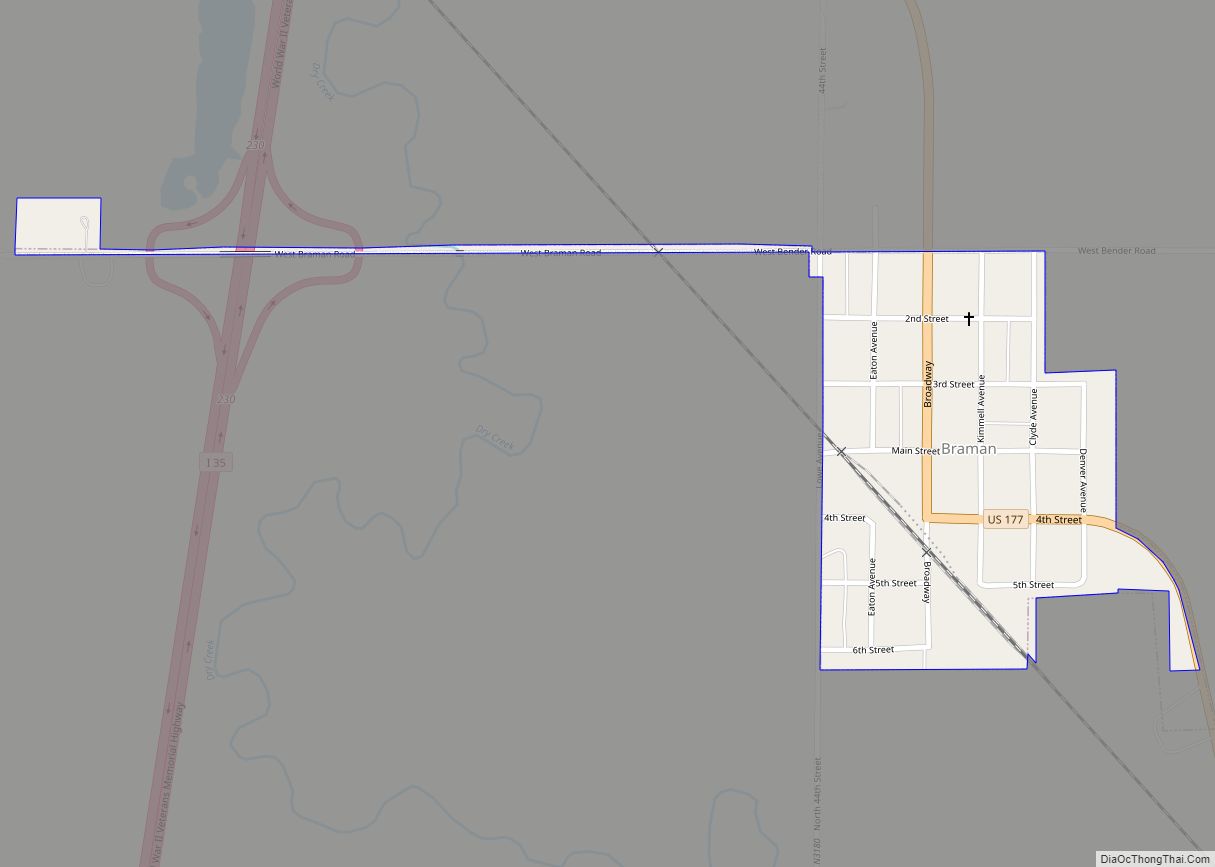
Braman is a town in Kay County, Oklahoma, United States. The population was 217 at the 2010 census, a decline of 11.1 percent from the figure of 244 in 2000.
| Name: | Braman town |
|---|---|
| LSAD Code: | 43 |
| LSAD Description: | town (suffix) |
| State: | Oklahoma |
| County: | Kay County |
| Elevation: | 1,053 ft (321 m) |
| Total Area: | 0.20 sq mi (0.51 km²) |
| Land Area: | 0.20 sq mi (0.51 km²) |
| Water Area: | 0.00 sq mi (0.00 km²) |
| Total Population: | 160 |
| Population Density: | 816.33/sq mi (315.68/km²) |
| ZIP code: | 74632 |
| Area code: | 580 |
| FIPS code: | 4008450 |
| GNISfeature ID: | 1090451 |
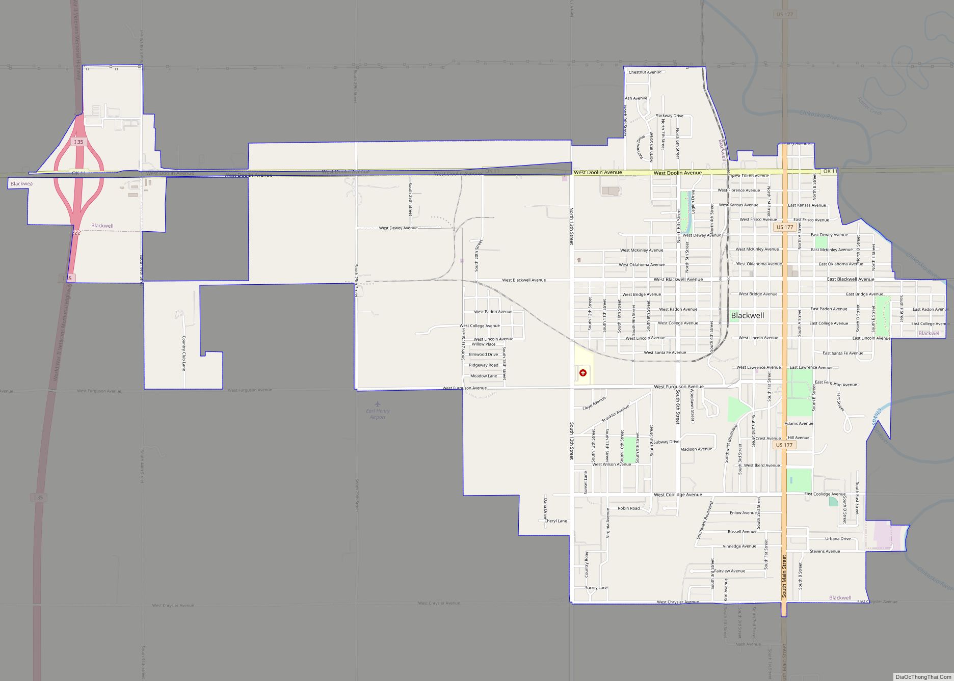
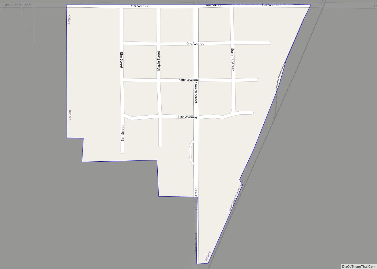
Online Interactive Map
Click on ![]() to view map in "full screen" mode.
to view map in "full screen" mode.
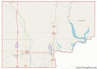
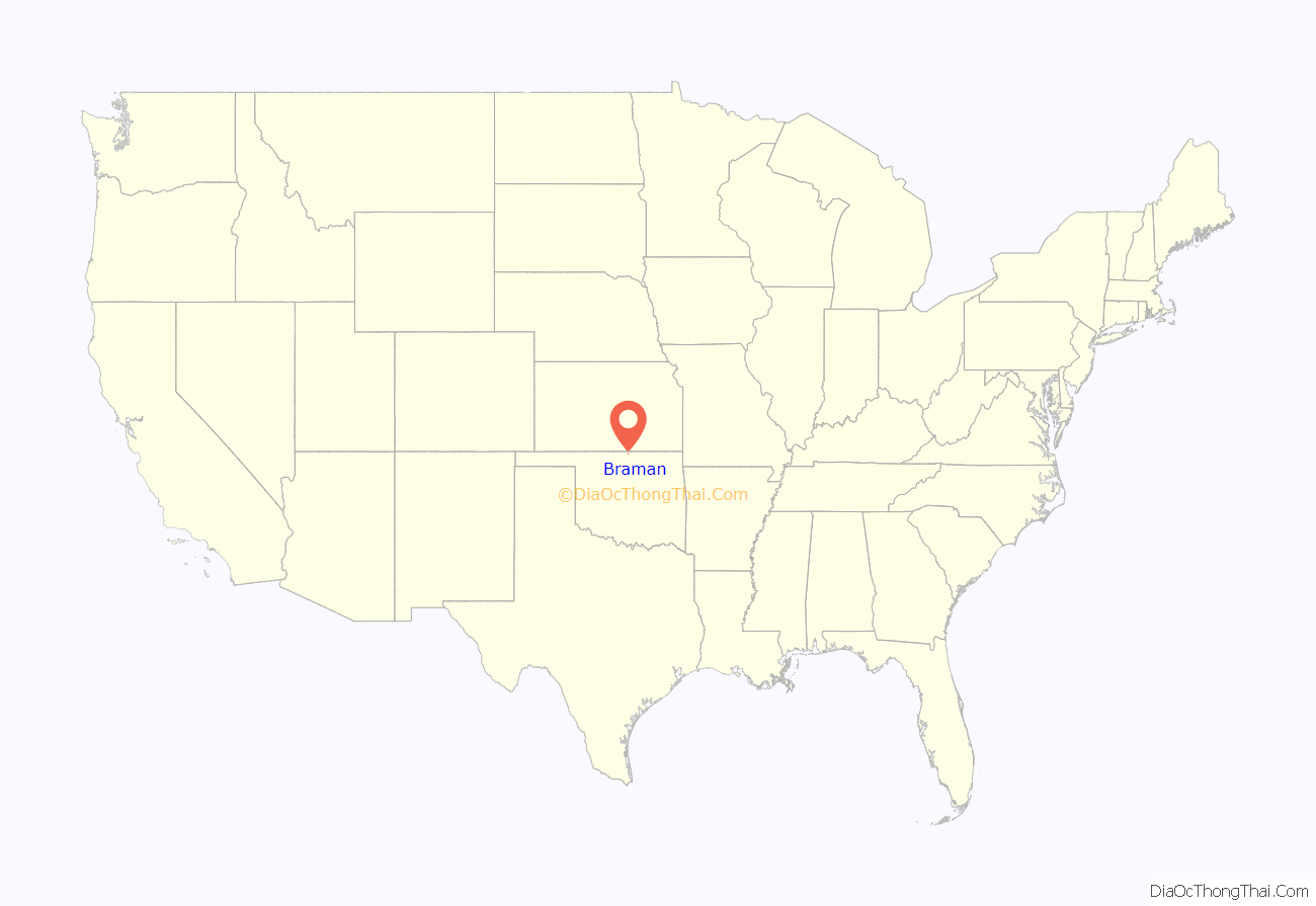
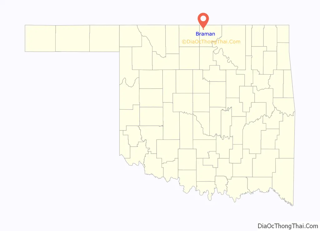
Braman location map. Where is Braman town?
History
Braman was named for railroad developer Dwight Braman, when its post office was first established on April 22, 1898. In that year, the Kansas and Southeastern Railroad– which was bought by the Atchison, Topeka and Santa Fe Railroad (AT&SF) in 1899– built a track from Hunnewell, Kansas to Braman. The following year, the Blackwell and Southern Railway– which was bought by the AT&SF in 1900– continued the line south through Blackwell to Tonkawa. Meanwhile the town, located 5 miles (8.0 km) inside the Kansas-Oklahoma state line, officially incorporated on January 9, 1899. There were 249 residents in 1900, growing to 300 by statehood in 1907.
In 1920, the population was 396 and the local economy was largely based on wheat farming. Oil was discovered nearby during the 1920s, briefly attracting a peak population of nearly five thousand, but the population dropped quickly to 507 in 1930. This was the highest number ever recorded in the census for Braman. It has remained an agricultural center since then.
Braman Road Map
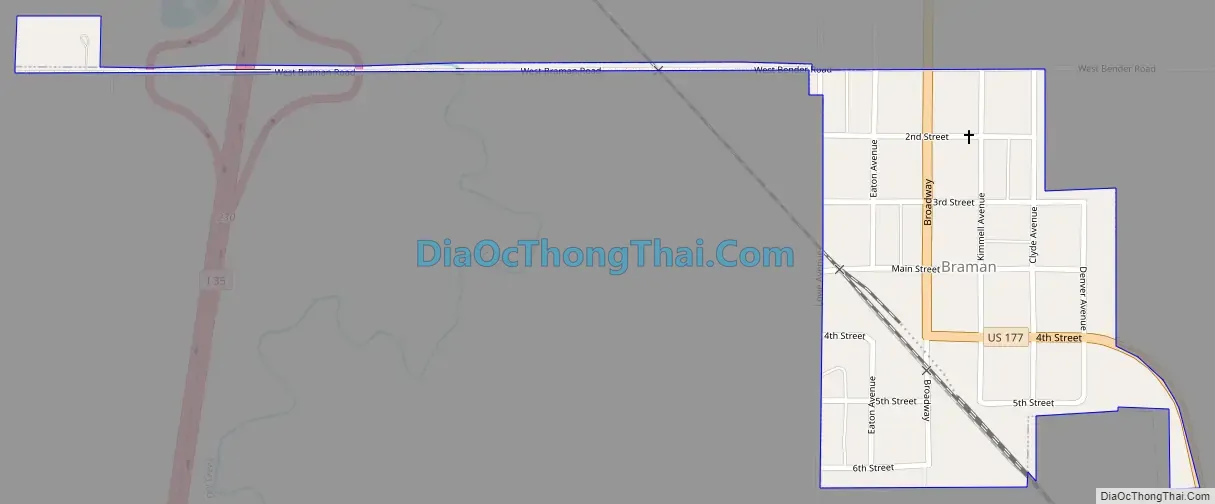
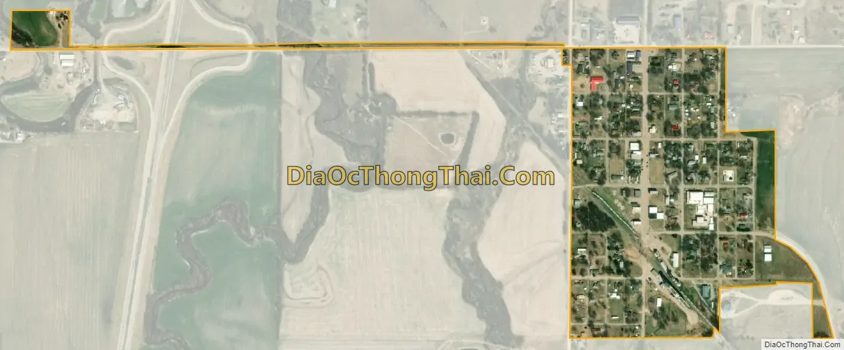
Braman city Satellite Map
Geography
According to the United States Census Bureau, Braman has a total area of 0.2 square miles (0.52 km), all land.
See also
Map of Oklahoma State and its subdivision:- Adair
- Alfalfa
- Atoka
- Beaver
- Beckham
- Blaine
- Bryan
- Caddo
- Canadian
- Carter
- Cherokee
- Choctaw
- Cimarron
- Cleveland
- Coal
- Comanche
- Cotton
- Craig
- Creek
- Custer
- Delaware
- Dewey
- Ellis
- Garfield
- Garvin
- Grady
- Grant
- Greer
- Harmon
- Harper
- Haskell
- Hughes
- Jackson
- Jefferson
- Johnston
- Kay
- Kingfisher
- Kiowa
- Latimer
- Le Flore
- Lincoln
- Logan
- Love
- Major
- Marshall
- Mayes
- McClain
- McCurtain
- McIntosh
- Murray
- Muskogee
- Noble
- Nowata
- Okfuskee
- Oklahoma
- Okmulgee
- Osage
- Ottawa
- Pawnee
- Payne
- Pittsburg
- Pontotoc
- Pottawatomie
- Pushmataha
- Roger Mills
- Rogers
- Seminole
- Sequoyah
- Stephens
- Texas
- Tillman
- Tulsa
- Wagoner
- Washington
- Washita
- Woods
- Woodward
- Alabama
- Alaska
- Arizona
- Arkansas
- California
- Colorado
- Connecticut
- Delaware
- District of Columbia
- Florida
- Georgia
- Hawaii
- Idaho
- Illinois
- Indiana
- Iowa
- Kansas
- Kentucky
- Louisiana
- Maine
- Maryland
- Massachusetts
- Michigan
- Minnesota
- Mississippi
- Missouri
- Montana
- Nebraska
- Nevada
- New Hampshire
- New Jersey
- New Mexico
- New York
- North Carolina
- North Dakota
- Ohio
- Oklahoma
- Oregon
- Pennsylvania
- Rhode Island
- South Carolina
- South Dakota
- Tennessee
- Texas
- Utah
- Vermont
- Virginia
- Washington
- West Virginia
- Wisconsin
- Wyoming