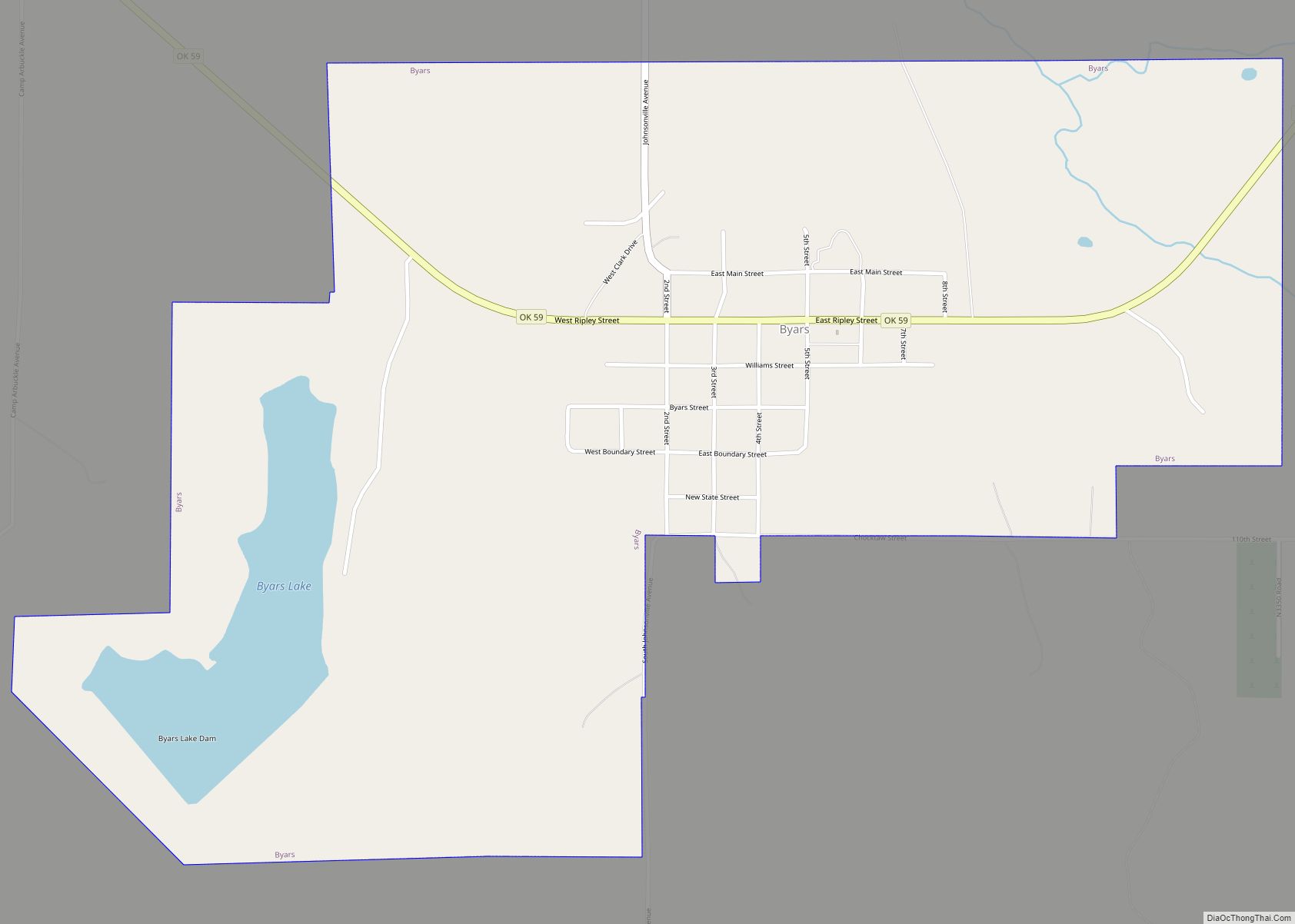
Byars is a town in McClain County, Oklahoma, United States. The population was 184 at the 2020 census, down from 255 at the 2010 census.
| Name: | Byars town |
|---|---|
| LSAD Code: | 43 |
| LSAD Description: | town (suffix) |
| State: | Oklahoma |
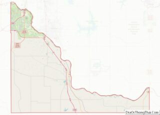
| County: | McClain County |
| Elevation: | 1,030 ft (314 m) |
| Total Area: | 1.64 sq mi (4.24 km²) |
| Land Area: | 1.53 sq mi (3.97 km²) |
| Water Area: | 0.11 sq mi (0.28 km²) |
| Total Population: | 184 |
| Population Density: | 120.10/sq mi (46.37/km²) |
| ZIP code: | 74831 |
| Area code: | 405 |
| FIPS code: | 4010550 |
| GNISfeature ID: | 1090771 |
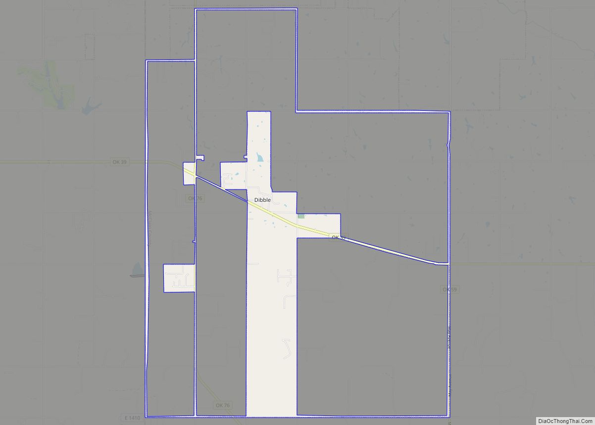
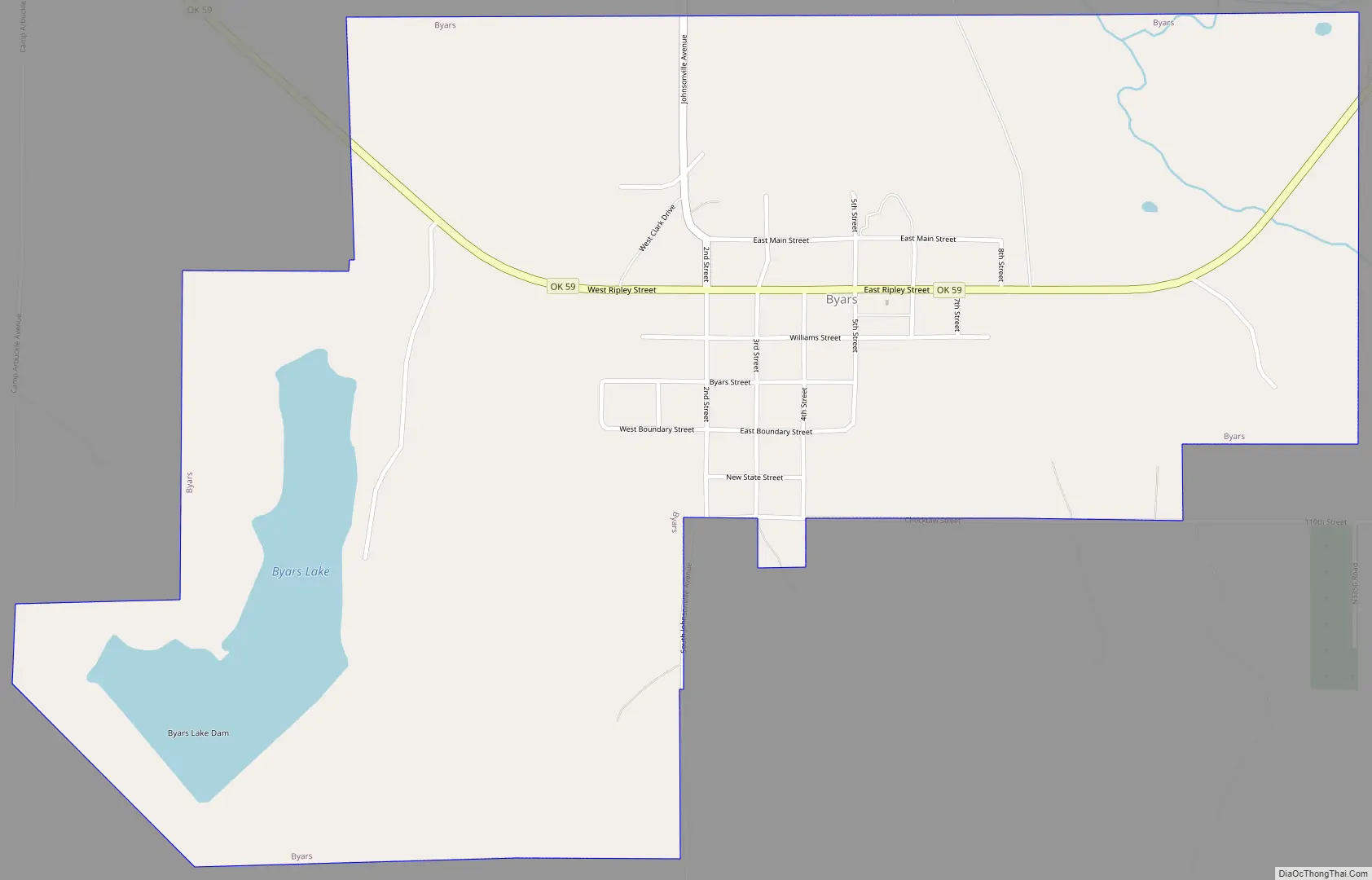
Online Interactive Map
Click on ![]() to view map in "full screen" mode.
to view map in "full screen" mode.
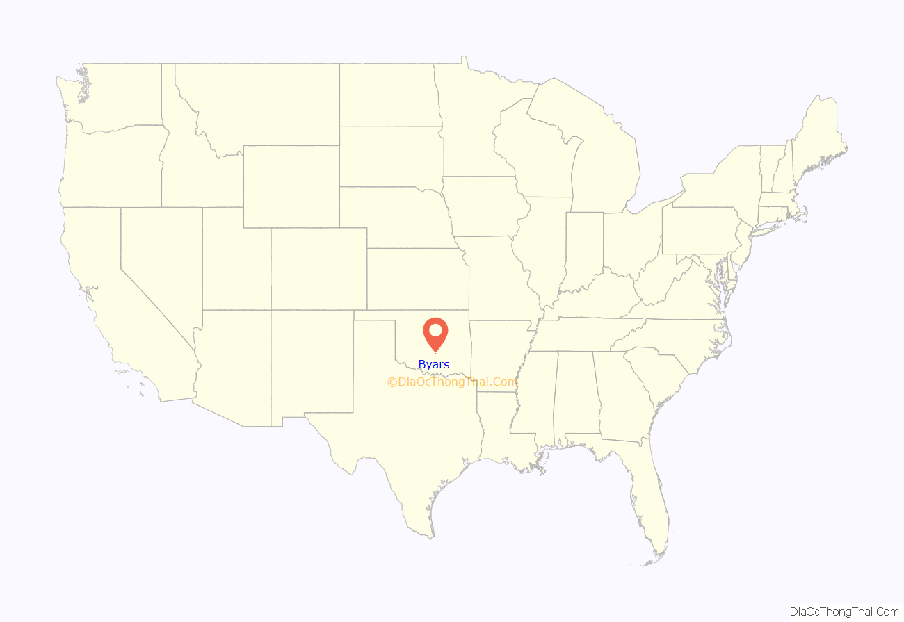
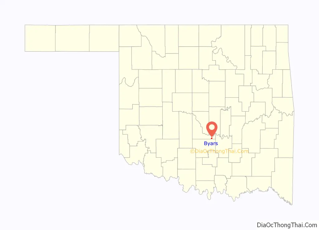
Byars location map. Where is Byars town?
History
The present community of Byars is one mile southeast of the Camp Arbuckle site in what is now McClain County. Before Byars was established, there was a community called Johnsonville, named for a local rancher named Montford Johnson. Thomas B. Johnson, Chief Justice of the Chickasaw Nation, lived in Johnsonville, his daughter, Katie, married Nathan H. Byars, another local rancher.
In 1903, the Oklahoma Central Railroad (OCR) was very interested in building a community one mile south of Johnsonville, where the OCR was building an east–west line. Katie Byars and her husband donated land to be used for this purpose, despite opposition from their neighbors in Johnsonville. A post office named Byars was opened on April 9, 1903. Byars incorporated in 1906, and the OCR main line reached the town site in July 1908. At statehood in 1907, Byars had an official population of 537.
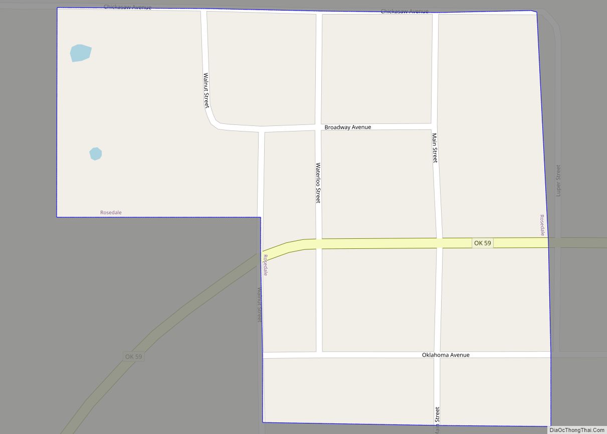
Byars Road Map
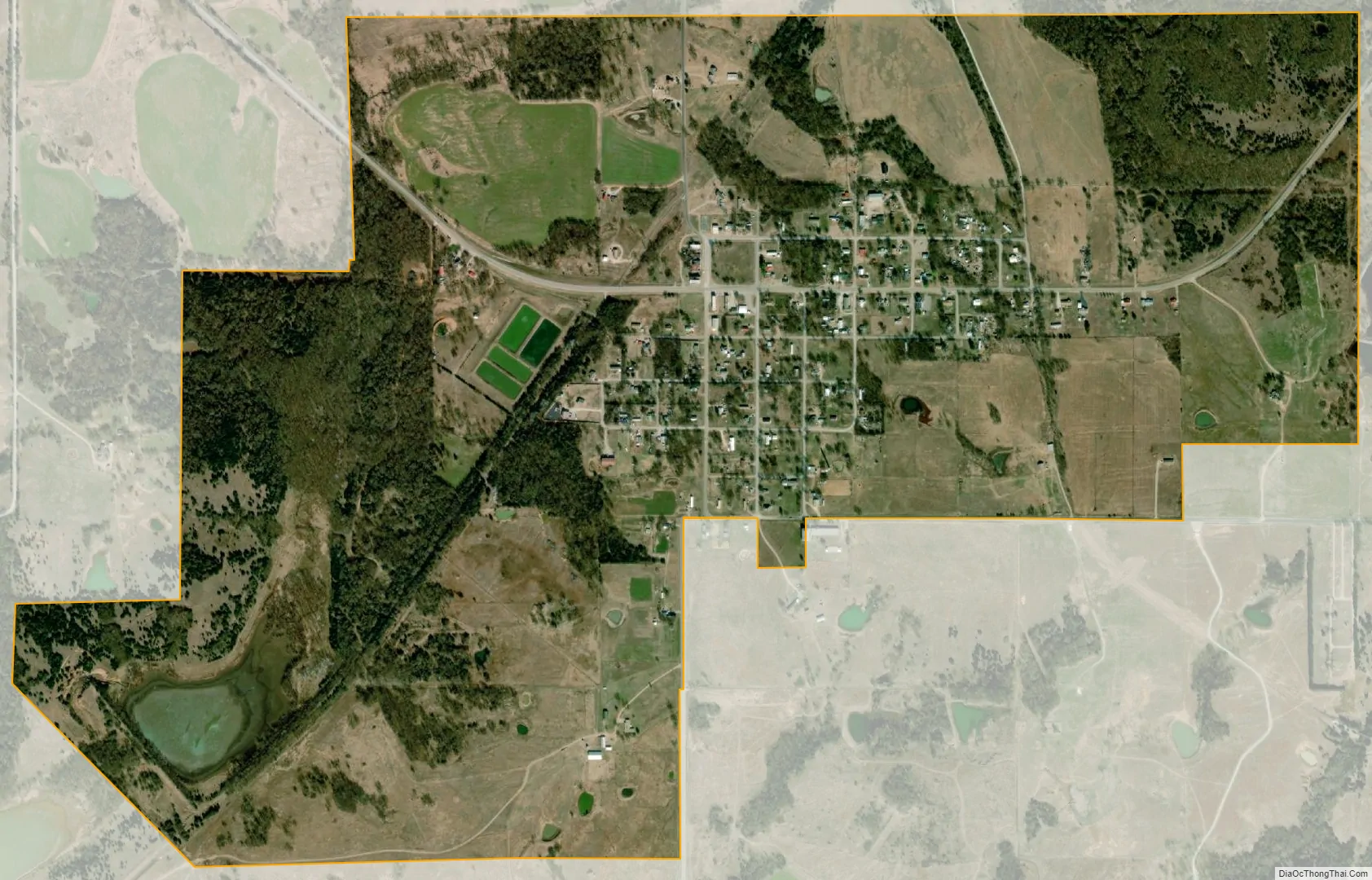
Byars city Satellite Map
Geography
According to the United States Census Bureau, Byars has a total area of 1.6 square miles (4.1 km), of which 1.5 square miles (3.9 km) is land and 0.1 square miles (0.26 km) (6.67%) is water.
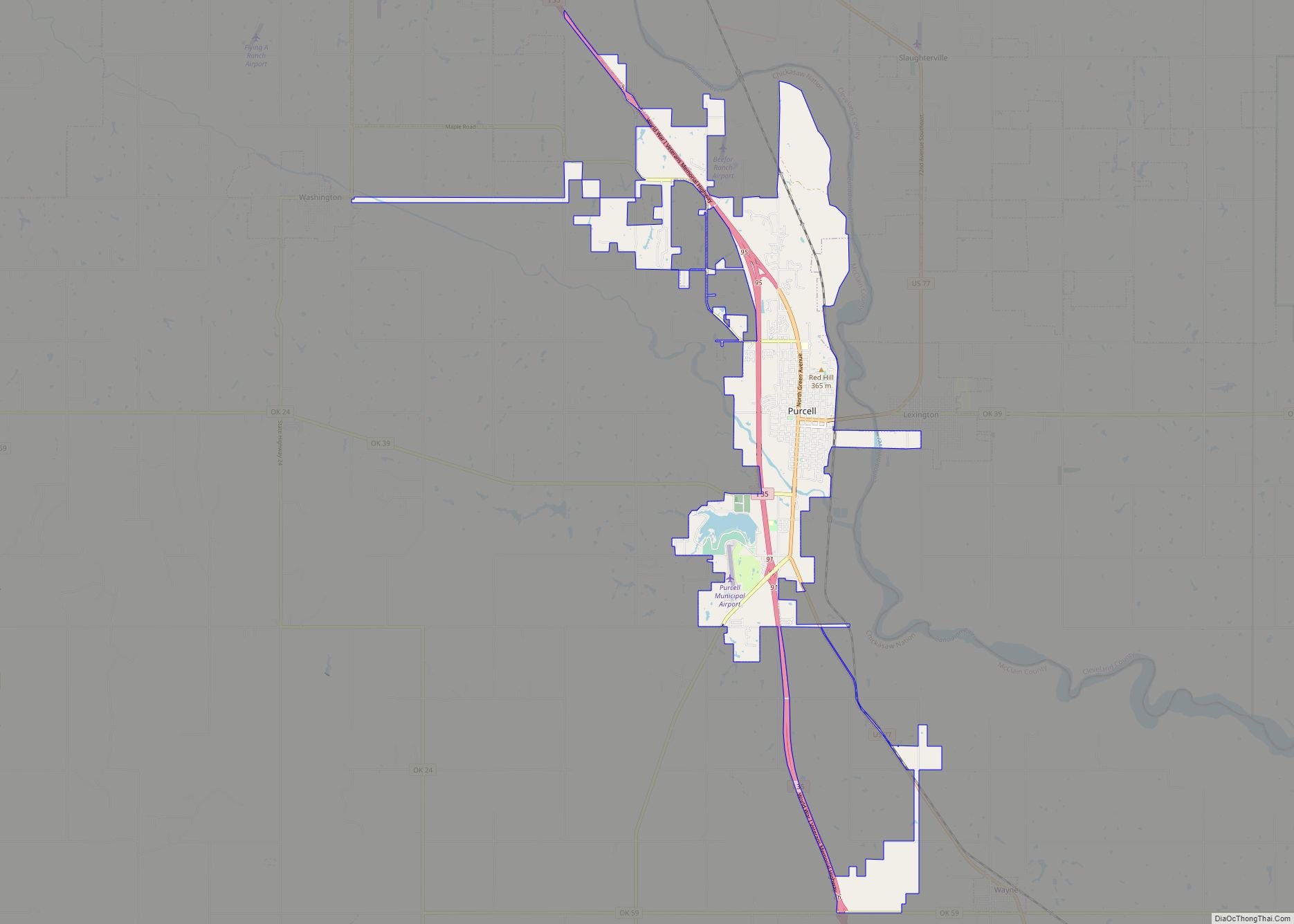
Byars is located along State Highway 59.
See also
Map of Oklahoma State and its subdivision:- Adair
- Alfalfa
- Atoka
- Beaver
- Beckham
- Blaine
- Bryan
- Caddo
- Canadian
- Carter
- Cherokee
- Choctaw
- Cimarron
- Cleveland
- Coal
- Comanche
- Cotton
- Craig
- Creek
- Custer
- Delaware
- Dewey
- Ellis
- Garfield
- Garvin
- Grady
- Grant
- Greer
- Harmon
- Harper
- Haskell
- Hughes
- Jackson
- Jefferson
- Johnston
- Kay
- Kingfisher
- Kiowa
- Latimer
- Le Flore
- Lincoln
- Logan
- Love
- Major
- Marshall
- Mayes
- McClain
- McCurtain
- McIntosh
- Murray
- Muskogee
- Noble
- Nowata
- Okfuskee
- Oklahoma
- Okmulgee
- Osage
- Ottawa
- Pawnee
- Payne
- Pittsburg
- Pontotoc
- Pottawatomie
- Pushmataha
- Roger Mills
- Rogers
- Seminole
- Sequoyah
- Stephens
- Texas
- Tillman
- Tulsa
- Wagoner
- Washington
- Washita
- Woods
- Woodward
- Alabama
- Alaska
- Arizona
- Arkansas
- California
- Colorado
- Connecticut
- Delaware
- District of Columbia
- Florida
- Georgia
- Hawaii
- Idaho
- Illinois
- Indiana
- Iowa
- Kansas
- Kentucky
- Louisiana
- Maine
- Maryland
- Massachusetts
- Michigan
- Minnesota
- Mississippi
- Missouri
- Montana
- Nebraska
- Nevada
- New Hampshire
- New Jersey
- New Mexico
- New York
- North Carolina
- North Dakota
- Ohio
- Oklahoma
- Oregon
- Pennsylvania
- Rhode Island
- South Carolina
- South Dakota
- Tennessee
- Texas
- Utah
- Vermont
- Virginia
- Washington
- West Virginia
- Wisconsin
- Wyoming