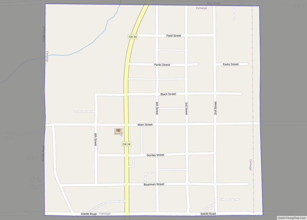
Camargo is a town in Dewey County, Oklahoma, United States. The population was 178 at the 2010 census, an increase of 54.8 percent from the figure of 115 in 2000.
| Name: | Camargo town |
|---|---|
| LSAD Code: | 43 |
| LSAD Description: | town (suffix) |
| State: | Oklahoma |
| County: | Dewey County |
| Elevation: | 1,939 ft (591 m) |
| Total Area: | 0.25 sq mi (0.64 km²) |
| Land Area: | 0.25 sq mi (0.64 km²) |
| Water Area: | 0.00 sq mi (0.00 km²) |
| Total Population: | 193 |
| Population Density: | 775.10/sq mi (299.84/km²) |
| ZIP code: | 73835 |
| Area code: | 580 |
| FIPS code: | 4011150 |
| GNISfeature ID: | 1090826 |
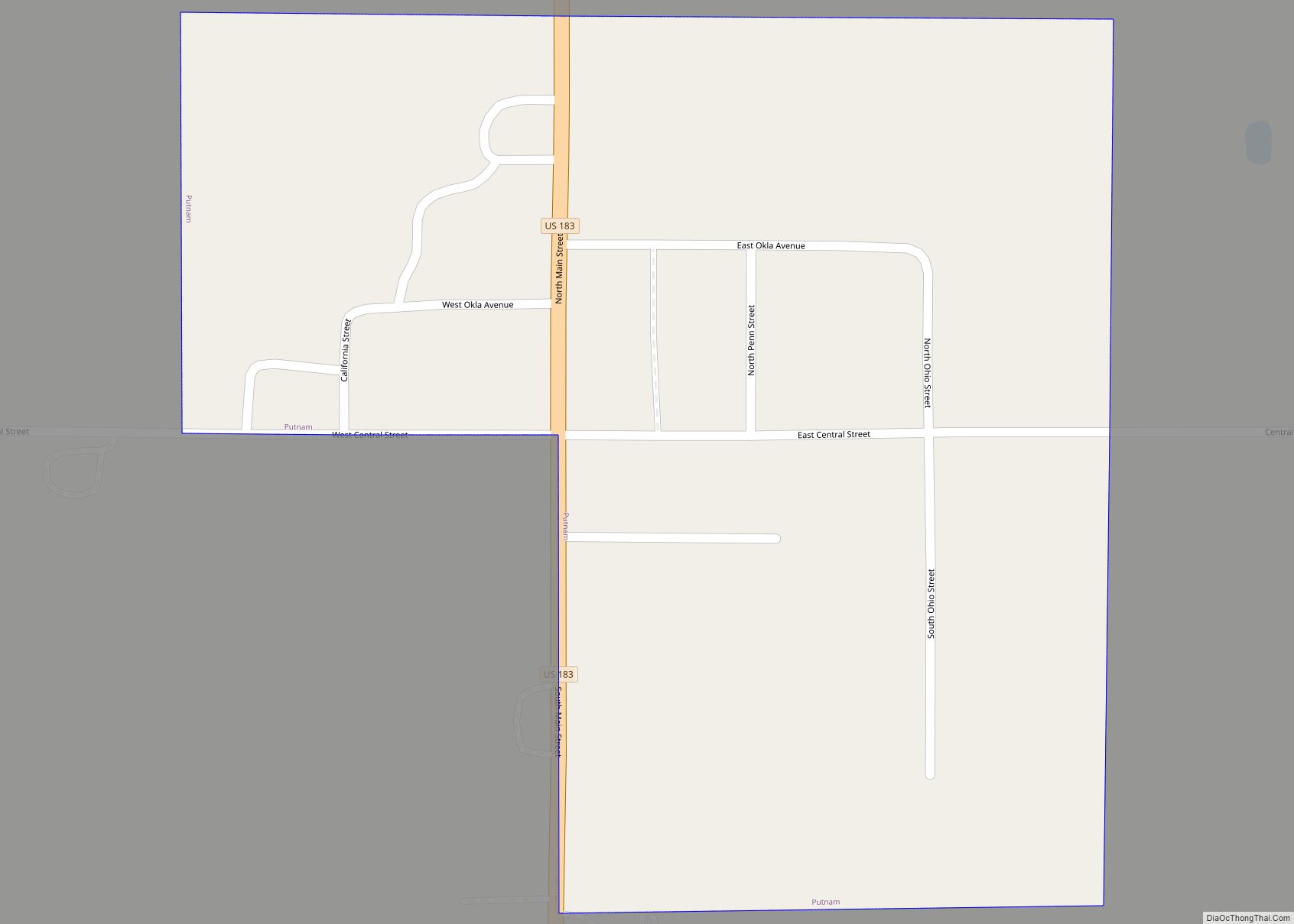
Online Interactive Map
Click on ![]() to view map in "full screen" mode.
to view map in "full screen" mode.
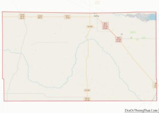
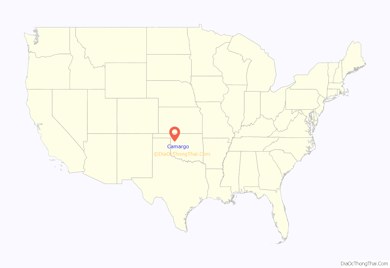
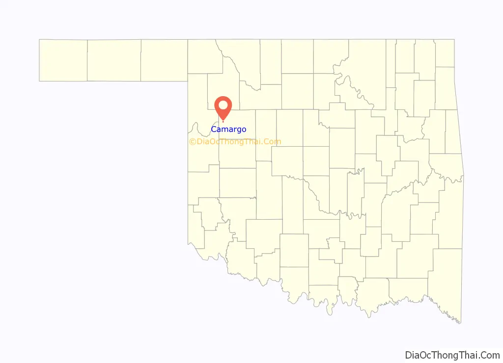
Camargo location map. Where is Camargo town?
History
The area that became the present town of Camargo was part of the Cheyenne and Arapaho Reservation until it was opened for non-Indian settlement on April 19, 1892. A Camargo post office was established on September 16, 1892. Two stories exist about the meaning of the town name. One claims that it was named for a town in Illinois, while the other claims Camargo meant “little dog” in the Cheyenne language.
Farming and ranching sustained Camargo’s early economy. The Wichita Falls and Northwestern Railway (later the Missouri, Kansas and Texas Railway, or Katy) built a line in 1912 between Leedey and Forgan (in Beaver County that passed through Camargo. Bentonite was mined in the area and shipped on the railroad until the railroad ceased operating in 1972–3.
Sylvan Ambrose Hart, one of the last mountain men, was born in Camargo, the eldest of six children.
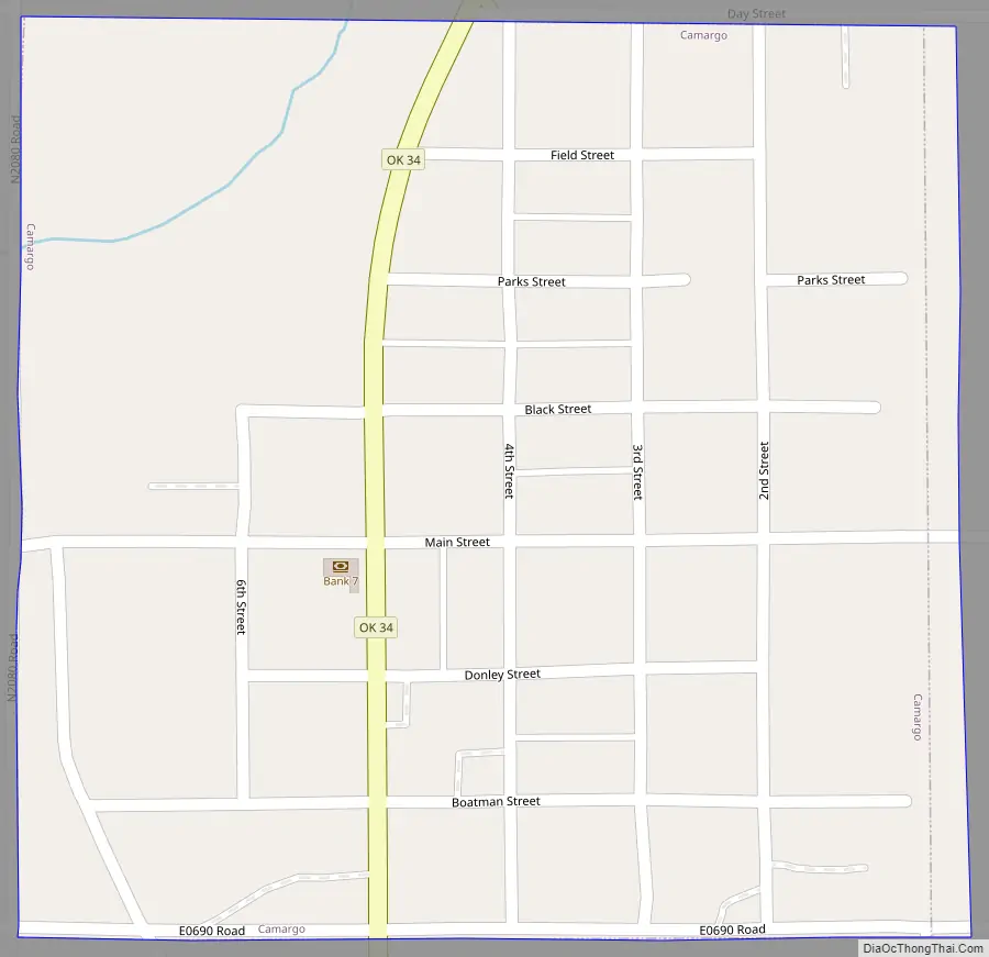
Camargo Road Map
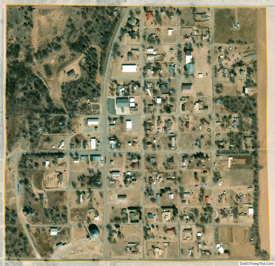
Camargo city Satellite Map
Geography
Camargo is located at 36°1′4″N 99°17′14″W / 36.01778°N 99.28722°W / 36.01778; -99.28722 (36.017879, -99.287244). It is approximately halfway between Leedey and Vici on State Highway 34.
According to the United States Census Bureau, the town has a total area of 0.2 square miles (0.52 km), all land.
See also
Map of Oklahoma State and its subdivision:- Adair
- Alfalfa
- Atoka
- Beaver
- Beckham
- Blaine
- Bryan
- Caddo
- Canadian
- Carter
- Cherokee
- Choctaw
- Cimarron
- Cleveland
- Coal
- Comanche
- Cotton
- Craig
- Creek
- Custer
- Delaware
- Dewey
- Ellis
- Garfield
- Garvin
- Grady
- Grant
- Greer
- Harmon
- Harper
- Haskell
- Hughes
- Jackson
- Jefferson
- Johnston
- Kay
- Kingfisher
- Kiowa
- Latimer
- Le Flore
- Lincoln
- Logan
- Love
- Major
- Marshall
- Mayes
- McClain
- McCurtain
- McIntosh
- Murray
- Muskogee
- Noble
- Nowata
- Okfuskee
- Oklahoma
- Okmulgee
- Osage
- Ottawa
- Pawnee
- Payne
- Pittsburg
- Pontotoc
- Pottawatomie
- Pushmataha
- Roger Mills
- Rogers
- Seminole
- Sequoyah
- Stephens
- Texas
- Tillman
- Tulsa
- Wagoner
- Washington
- Washita
- Woods
- Woodward
- Alabama
- Alaska
- Arizona
- Arkansas
- California
- Colorado
- Connecticut
- Delaware
- District of Columbia
- Florida
- Georgia
- Hawaii
- Idaho
- Illinois
- Indiana
- Iowa
- Kansas
- Kentucky
- Louisiana
- Maine
- Maryland
- Massachusetts
- Michigan
- Minnesota
- Mississippi
- Missouri
- Montana
- Nebraska
- Nevada
- New Hampshire
- New Jersey
- New Mexico
- New York
- North Carolina
- North Dakota
- Ohio
- Oklahoma
- Oregon
- Pennsylvania
- Rhode Island
- South Carolina
- South Dakota
- Tennessee
- Texas
- Utah
- Vermont
- Virginia
- Washington
- West Virginia
- Wisconsin
- Wyoming