Cameron is a town in Le Flore County, Oklahoma, United States. It is part of the Fort Smith, Arkansas-Oklahoma Metropolitan Statistical Area. The population was 302 at the 2010 census, a decline of 3.2 percent from the figure of 312 recorded in 2000.
| Name: | Cameron town |
|---|---|
| LSAD Code: | 43 |
| LSAD Description: | town (suffix) |
| State: | Oklahoma |
| County: | Le Flore County |
| Elevation: | 486 ft (148 m) |
| Total Area: | 1.49 sq mi (3.86 km²) |
| Land Area: | 1.49 sq mi (3.86 km²) |
| Water Area: | 0.00 sq mi (0.00 km²) |
| Total Population: | 323 |
| Population Density: | 216.49/sq mi (83.57/km²) |
| ZIP code: | 74932 |
| Area code: | 539/918 |
| FIPS code: | 4011300 |
| GNISfeature ID: | 1090830 |
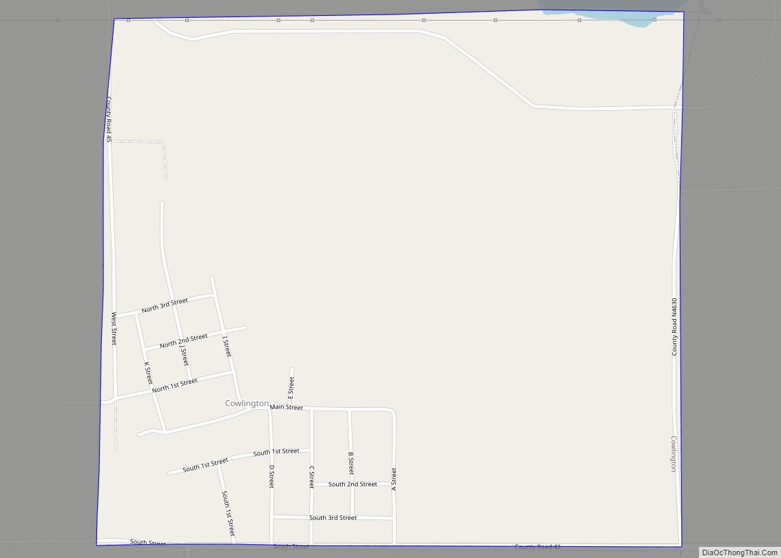
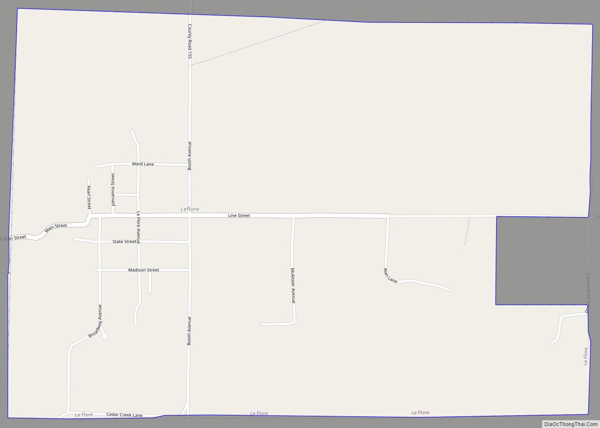
Online Interactive Map
Click on ![]() to view map in "full screen" mode.
to view map in "full screen" mode.
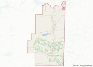
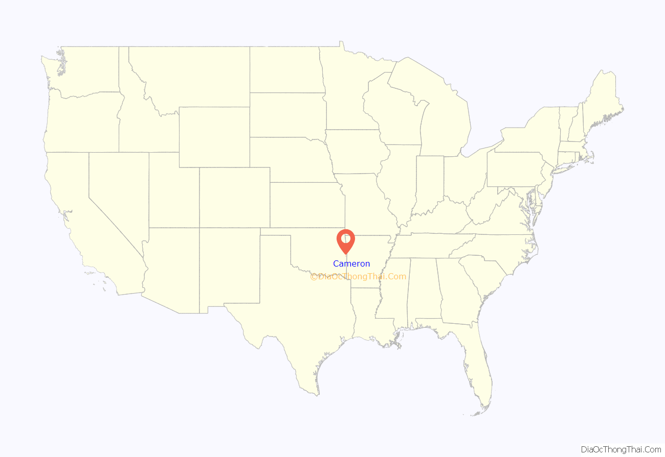
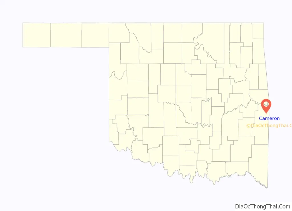
Cameron location map. Where is Cameron town?
History
When the Fort Smith and Southern Railway laid tracks in the area of the present day town of Cameron in 1886–87, there was already a settlement of about 40 people. At the time of its founding, Cameron was located in Skullyville County, a part of the Moshulatubbee District of the Choctaw Nation. The U. S. Post Office Department established a post office that it named Cameron, Indian Territory in 1888. According to Encyclopedia of Oklahoma History and Culture, the post office and town may have been named for either of two persons. One was William Cameron, a former Mine Inspector for Indian Territory. The other was James Cameron, an employee of the Fort Smith and Southern Railway.
In 1883, James Reynolds, a successful rancher and entrepreneur, established the Cameron Institute, which was sponsored by the Presbyterian Church but was open to enrolling students of any denomination. It educated children from primary to high school level. Reynolds became a resident of Cameron, where he built an imposing home, now known as the James E. Reynolds House, that had the appearance of a castle. The building is on the National Register of Historic Places listings in LeFlore County, Oklahoma.
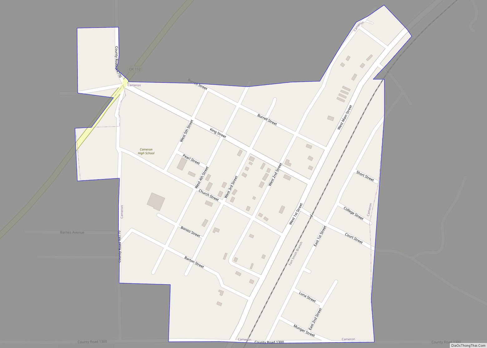
Cameron Road Map
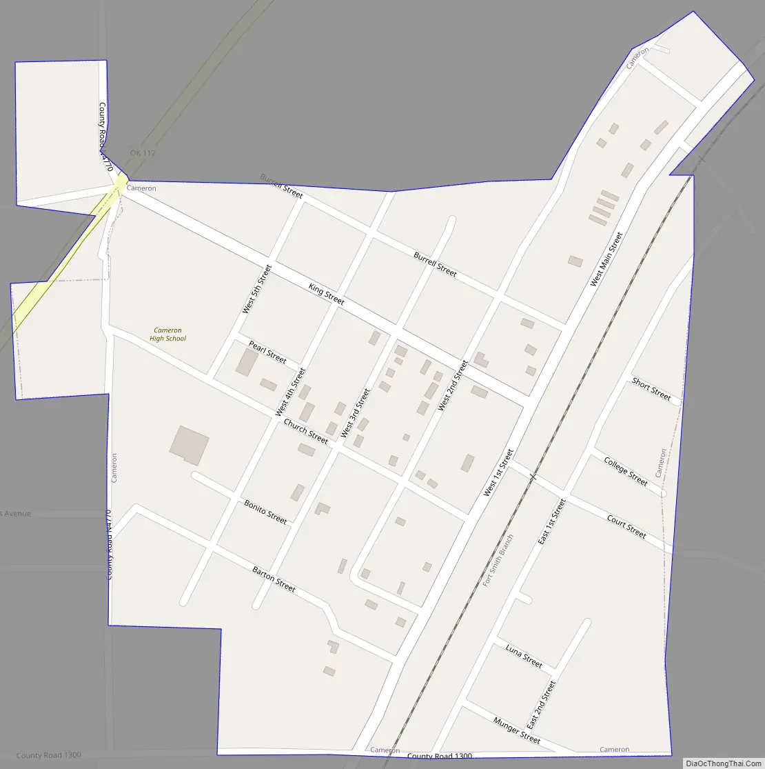
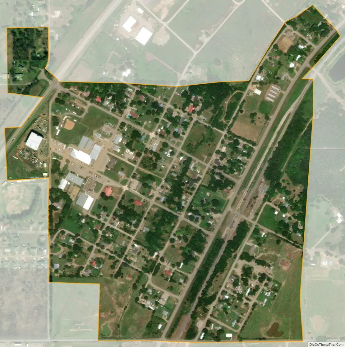
Cameron city Satellite Map
Geography
Cameron is located at 35°8′9″N 94°32′8″W / 35.13583°N 94.53556°W / 35.13583; -94.53556 (35.135722, -94.535561). It is 8 miles (13 km) northeast of Poteau.
According to the United States Census Bureau, the town has a total area of 0.3 square miles (0.78 km), all land.
See also
Map of Oklahoma State and its subdivision:- Adair
- Alfalfa
- Atoka
- Beaver
- Beckham
- Blaine
- Bryan
- Caddo
- Canadian
- Carter
- Cherokee
- Choctaw
- Cimarron
- Cleveland
- Coal
- Comanche
- Cotton
- Craig
- Creek
- Custer
- Delaware
- Dewey
- Ellis
- Garfield
- Garvin
- Grady
- Grant
- Greer
- Harmon
- Harper
- Haskell
- Hughes
- Jackson
- Jefferson
- Johnston
- Kay
- Kingfisher
- Kiowa
- Latimer
- Le Flore
- Lincoln
- Logan
- Love
- Major
- Marshall
- Mayes
- McClain
- McCurtain
- McIntosh
- Murray
- Muskogee
- Noble
- Nowata
- Okfuskee
- Oklahoma
- Okmulgee
- Osage
- Ottawa
- Pawnee
- Payne
- Pittsburg
- Pontotoc
- Pottawatomie
- Pushmataha
- Roger Mills
- Rogers
- Seminole
- Sequoyah
- Stephens
- Texas
- Tillman
- Tulsa
- Wagoner
- Washington
- Washita
- Woods
- Woodward
- Alabama
- Alaska
- Arizona
- Arkansas
- California
- Colorado
- Connecticut
- Delaware
- District of Columbia
- Florida
- Georgia
- Hawaii
- Idaho
- Illinois
- Indiana
- Iowa
- Kansas
- Kentucky
- Louisiana
- Maine
- Maryland
- Massachusetts
- Michigan
- Minnesota
- Mississippi
- Missouri
- Montana
- Nebraska
- Nevada
- New Hampshire
- New Jersey
- New Mexico
- New York
- North Carolina
- North Dakota
- Ohio
- Oklahoma
- Oregon
- Pennsylvania
- Rhode Island
- South Carolina
- South Dakota
- Tennessee
- Texas
- Utah
- Vermont
- Virginia
- Washington
- West Virginia
- Wisconsin
- Wyoming