Poteau (/ˈpoʊtoʊ/ POH-toh) is a city in, and county seat of, Le Flore County, Oklahoma, United States. The population was 8,520 as of the 2010 census.
| Name: | Poteau city |
|---|---|
| LSAD Code: | 25 |
| LSAD Description: | city (suffix) |
| State: | Oklahoma |
| County: | Le Flore County |
| Elevation: | 489 ft (149 m) |
| Total Area: | 28.73 sq mi (74.40 km²) |
| Land Area: | 26.61 sq mi (68.91 km²) |
| Water Area: | 2.12 sq mi (5.49 km²) |
| Total Population: | 8,807 |
| Population Density: | 331.00/sq mi (127.80/km²) |
| ZIP code: | 74953 |
| Area code: | 539/918 |
| FIPS code: | 4060350 |
| GNISfeature ID: | 1096874 |
| Website: | www.poteau-ok.com |
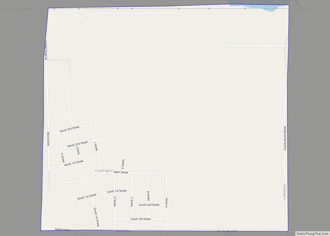
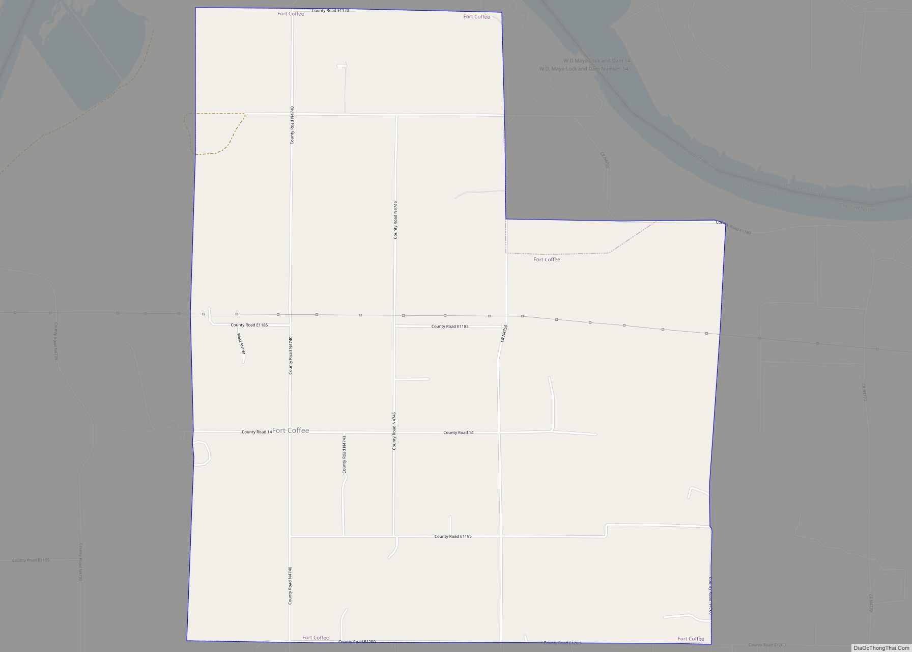
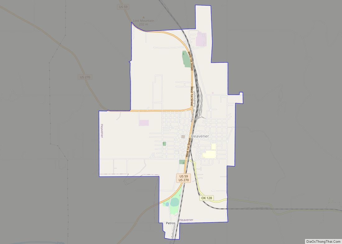
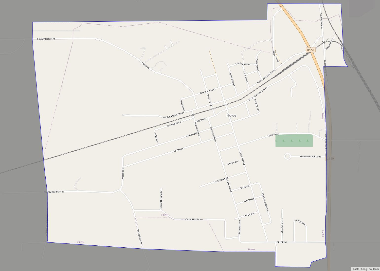
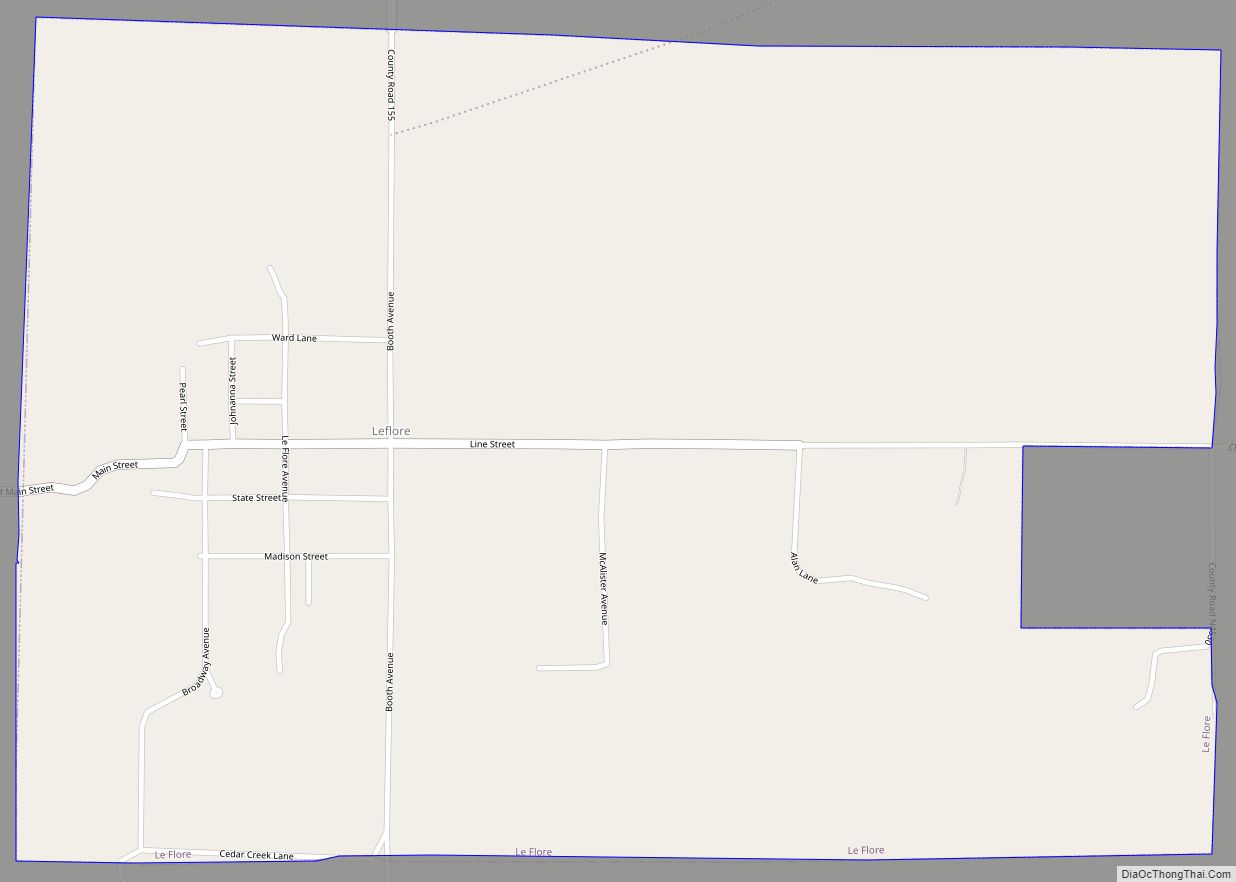
Online Interactive Map
Click on ![]() to view map in "full screen" mode.
to view map in "full screen" mode.
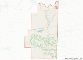
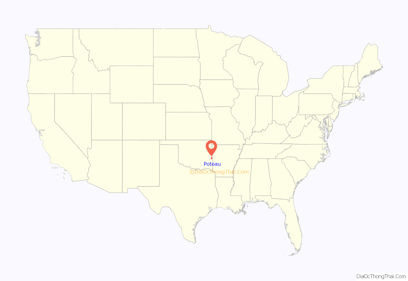
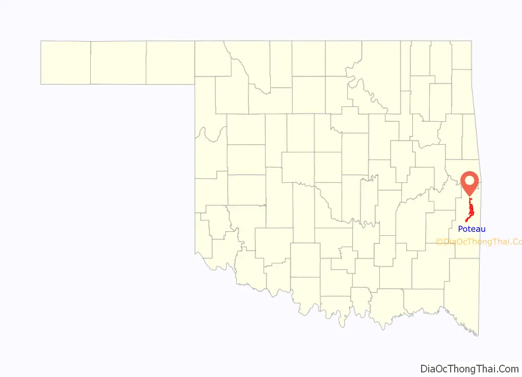
Poteau location map. Where is Poteau city?
History
In 1719, Bernard de la Harpe led a group of French explorers through this area and gave the river its present name. The present day city was founded in 1885, its name derived from the nearby Poteau River. During the late 1700s, there was a large French outpost at Belle Point (Ft. Smith). From there, they would travel up the Poteau River to a secondary post at the base of Cavanal Mountain. Because of this, the river was named the “Post River”, or Poteau River, and the outpost was simply called the post, or “Poteau”. A group of French explorers gave the river its present name during the early 18th Century. Poteau is a French word meaning post.
The Poteau Chamber of Commerce has written that the community was founded in 1885 as a few houses and Bud Tate’s general store. At the time of its founding, Poteau was in Sugar Loaf County, a part of the Moshulatubbee District of the Choctaw Nation. It was incorporated as a town in the Indian Territory by the federal government on October 8, 1898. The first stone public building, a school, was built in the same year.
The Fort Smith and Southern Railway built a rail line through the Poteau area in 1886–1887, en route to Paris, Texas, including a station within the city. The Poteau post office opened in 1887 and the Kansas City, Pittsburg and Gulf Railroad (acquired by the Kansas City Southern Railway in 1900) began serving the town in 1896.
In 1900, the Federal Court of Indian Territory was moved from Cameron, Oklahoma to Poteau. The Poteau News was first published in 1905. Other modern improvements during the run-up to statehood included: The Bank of Poteau in 1901 (which became a national bank in 1904), and the First Bank of Poteau in 1904. A telephone company franchise was granted in 1904, and an electric utility and waterworks system was begun in 1906.
After statehood, Governor Charles N. Haskell declared Poteau as a, “… city of the first class.”
Poteau Road Map
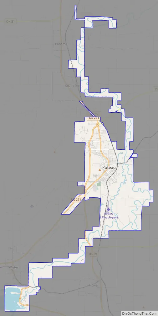
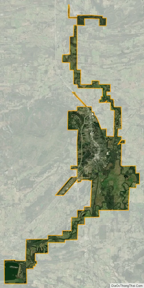
Poteau city Satellite Map
Geography
According to the United States Census Bureau, the city has a total area of 31.7 square miles (82 km), of which 28.6 square miles (74 km) is land and 3.0 square miles (7.8 km), or 9.54%, is water. It is about 12 miles (19 km) west of the Oklahoma-Arkansas border.
The city is located in the valley below Cavanal Hill, dubbed the “World’s Highest Hill” with a signed elevation of 1,999 feet (609 m). The location was a subject of extensive coal mining in the first half of the 20th Century, and a railway, eventually called the Poteau and Cavanal Mountain Railroad, served the mines. The summit elevation of the hill is 2,385 feet (727 m) above sea level, while the hill rises 1,960 feet (600 m) above the Poteau River on the east side of Poteau. The Poteau River is the only river in Oklahoma that flows north. It flows into Arkansas where it meets the Arkansas River at Belle Point in Fort Smith.
Climate
Poteau is tied with several other towns for the highest recorded temperature in the state of Oklahoma.
See also
Map of Oklahoma State and its subdivision:- Adair
- Alfalfa
- Atoka
- Beaver
- Beckham
- Blaine
- Bryan
- Caddo
- Canadian
- Carter
- Cherokee
- Choctaw
- Cimarron
- Cleveland
- Coal
- Comanche
- Cotton
- Craig
- Creek
- Custer
- Delaware
- Dewey
- Ellis
- Garfield
- Garvin
- Grady
- Grant
- Greer
- Harmon
- Harper
- Haskell
- Hughes
- Jackson
- Jefferson
- Johnston
- Kay
- Kingfisher
- Kiowa
- Latimer
- Le Flore
- Lincoln
- Logan
- Love
- Major
- Marshall
- Mayes
- McClain
- McCurtain
- McIntosh
- Murray
- Muskogee
- Noble
- Nowata
- Okfuskee
- Oklahoma
- Okmulgee
- Osage
- Ottawa
- Pawnee
- Payne
- Pittsburg
- Pontotoc
- Pottawatomie
- Pushmataha
- Roger Mills
- Rogers
- Seminole
- Sequoyah
- Stephens
- Texas
- Tillman
- Tulsa
- Wagoner
- Washington
- Washita
- Woods
- Woodward
- Alabama
- Alaska
- Arizona
- Arkansas
- California
- Colorado
- Connecticut
- Delaware
- District of Columbia
- Florida
- Georgia
- Hawaii
- Idaho
- Illinois
- Indiana
- Iowa
- Kansas
- Kentucky
- Louisiana
- Maine
- Maryland
- Massachusetts
- Michigan
- Minnesota
- Mississippi
- Missouri
- Montana
- Nebraska
- Nevada
- New Hampshire
- New Jersey
- New Mexico
- New York
- North Carolina
- North Dakota
- Ohio
- Oklahoma
- Oregon
- Pennsylvania
- Rhode Island
- South Carolina
- South Dakota
- Tennessee
- Texas
- Utah
- Vermont
- Virginia
- Washington
- West Virginia
- Wisconsin
- Wyoming