Clinton is a city in Custer and Washita counties in the U.S. state of Oklahoma. The population was 9,033 at the 2010 census.
| Name: | Clinton city |
|---|---|
| LSAD Code: | 25 |
| LSAD Description: | city (suffix) |
| State: | Oklahoma |
| County: | Custer County, Washita County |
| Elevation: | 1,565 ft (477 m) |
| Total Area: | 9.97 sq mi (25.81 km²) |
| Land Area: | 9.95 sq mi (25.76 km²) |
| Water Area: | 0.02 sq mi (0.05 km²) |
| Total Population: | 8,521 |
| Population Density: | 856.64/sq mi (330.75/km²) |
| ZIP code: | 73601 |
| Area code: | 580 |
| FIPS code: | 4015400 |
| GNISfeature ID: | 1091467 |
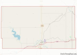
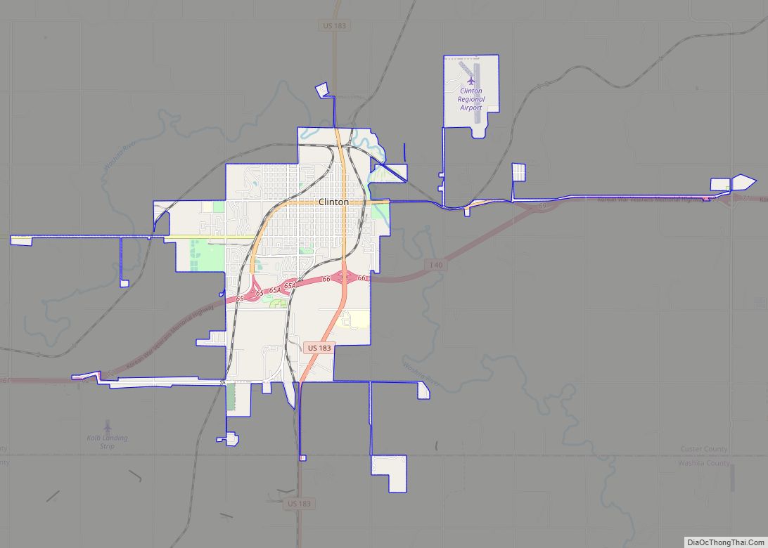
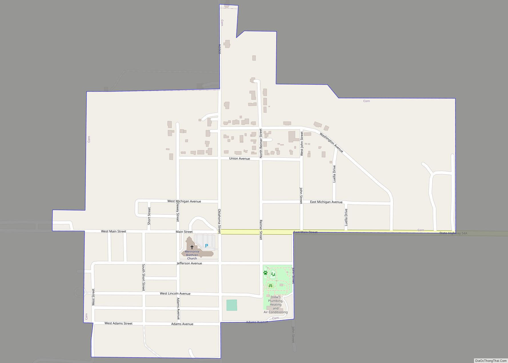
Online Interactive Map
Click on ![]() to view map in "full screen" mode.
to view map in "full screen" mode.
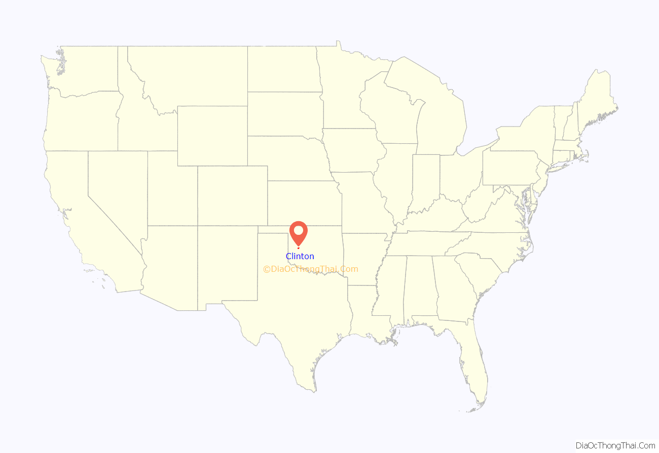
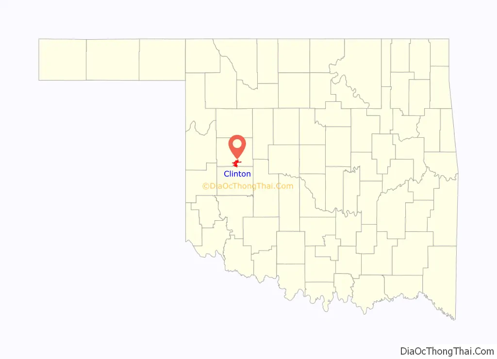
Clinton location map. Where is Clinton city?
History
The community began in 1899 when two men, J.L. Avant and E.E. Blake, decided to locate a town in the Washita River Valley.
Because of governmental stipulations that an Indian could sell no more than one half of a 160-acre (0.6 km) allotment, the men made plans to purchase 320 acres (1.3 km) from four different Indians (Hays, Shoe-Boy, Nowahy, and Night Killer) and paid them each $2,000 for 80 acres (320,000 m) to begin the small settlement of Washita Junction.
Congressional approval for the sale was granted in 1902 and Washita Junction quickly developed. The first businesses were the office of the Custer County Chronicle newspaper and the First National Bank building. When a post office was started, the postal department would not accept the name of Washita Junction; so the town was named for Judge Clinton F. Irwin.
Clinton particularly benefited from the presence of U.S. Highway 66. Like most other cities and towns on Route 66, Clinton was home of tourist businesses including several restaurants, cafés, motels and filling stations. The Pop Hicks Restaurant was once the longest running restaurant on Route 66. It opened in 1936 and closed after a fire in 1999. The U.S. Highway 66 Association, founded 1927 in Tulsa, Oklahoma, curtailed its activity when World War II rationing of rubber and fuel disrupted leisure travel. After the war, Jack and Gladys Cutberth revived the organization in Clinton, where it promoted the “Main Street of America” from 1947 until it disbanded in the 1980s. Dr. Walter S. Mason Jr. operated a Best Western motel (1964–2003) which welcomed Elvis Presley as an occasional guest in the 1960s.
Today, cross-country traffic passes Clinton to the south on Interstate 40, which bypassed the city in 1970. Clinton remains a popular tourist stop as one of the largest Route 66 cities between Oklahoma City and Amarillo, Texas. Much of the old U.S. 66 route that passed through the city is now designated as an I-40 business loop; the town became home to the first state sponsored Route 66 Museum in the nation.
In 1942, the federal government built a naval airfield at nearby Burns Flat and named it Naval Air Station Clinton. During the World War II period, the population of Clinton grew to nearly 7,000 residents. In 1949, Naval Air Station Clinton was deactivated and the airfield was deeded to the City of Clinton, specifying that the land could be recaptured in case of national emergencies. Later, the government leased the site back and used it as Clinton-Sherman Air Force Base a bomber base supporting 4123rd Strategic Wing, then the 70th Bombardment Wing, Heavy of the Strategic Air Command (SAC), operating B-52 Stratofortress and KC-135 Stratotanker aircraft. Purchasing more land, the site soon expanded to more than 3,500 acres (14 km), where both the U.S. Air Force and the U.S. Navy utilized the airfield for both operational and training purposes. When military operations were de-emphasized, the Clinton-Sherman base was designated for closure in 1969. The entire complex was deeded to the City of Clinton in 1971 and three years later became the Clinton-Sherman Industrial Airpark.
Clinton is also home to the Clinton Daily News, a six-day daily newspaper edited by Rod Serfoss which has a circulation of 4,500. The newspaper has been published continuously from its inception in 1927 to the current day.
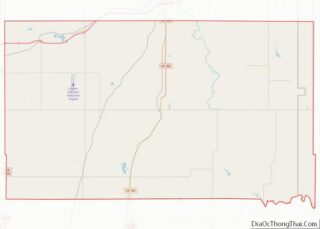
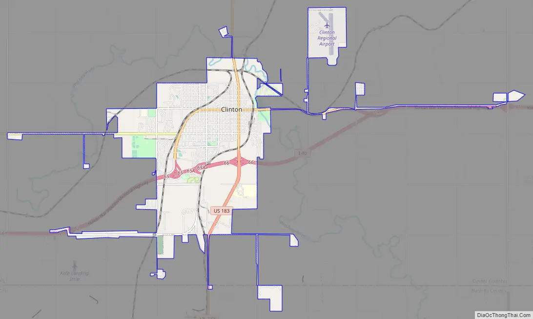
Clinton Road Map
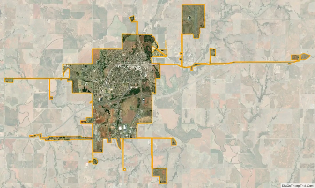
Clinton city Satellite Map
Geography
Clinton is located at 35°30′34″N 98°58′27″W / 35.50944°N 98.97417°W / 35.50944; -98.97417 (35.509369, −98.974063), sitting at an elevation of 1,592 feet (485 m). The town is located on historic U.S. Route 66, which is now Interstate 40.
According to the United States Census Bureau, the city has a total area of 8.9 square miles (23.2 km), of which 8.9 square miles (23.1 km) is land and 0.04 square mile (0.1 km) (0.22%) is water.
Climate
According to the Köppen Climate Classification system, Clinton has a humid subtropical climate, abbreviated “Cfa” on climate maps. The hottest temperature recorded in Clinton was 112 °F (44.4 °C) on July 19, 2022, while the coldest temperature recorded was −6 °F (−21.1 °C) on February 15, 2021.
See also
Map of Oklahoma State and its subdivision:- Adair
- Alfalfa
- Atoka
- Beaver
- Beckham
- Blaine
- Bryan
- Caddo
- Canadian
- Carter
- Cherokee
- Choctaw
- Cimarron
- Cleveland
- Coal
- Comanche
- Cotton
- Craig
- Creek
- Custer
- Delaware
- Dewey
- Ellis
- Garfield
- Garvin
- Grady
- Grant
- Greer
- Harmon
- Harper
- Haskell
- Hughes
- Jackson
- Jefferson
- Johnston
- Kay
- Kingfisher
- Kiowa
- Latimer
- Le Flore
- Lincoln
- Logan
- Love
- Major
- Marshall
- Mayes
- McClain
- McCurtain
- McIntosh
- Murray
- Muskogee
- Noble
- Nowata
- Okfuskee
- Oklahoma
- Okmulgee
- Osage
- Ottawa
- Pawnee
- Payne
- Pittsburg
- Pontotoc
- Pottawatomie
- Pushmataha
- Roger Mills
- Rogers
- Seminole
- Sequoyah
- Stephens
- Texas
- Tillman
- Tulsa
- Wagoner
- Washington
- Washita
- Woods
- Woodward
- Alabama
- Alaska
- Arizona
- Arkansas
- California
- Colorado
- Connecticut
- Delaware
- District of Columbia
- Florida
- Georgia
- Hawaii
- Idaho
- Illinois
- Indiana
- Iowa
- Kansas
- Kentucky
- Louisiana
- Maine
- Maryland
- Massachusetts
- Michigan
- Minnesota
- Mississippi
- Missouri
- Montana
- Nebraska
- Nevada
- New Hampshire
- New Jersey
- New Mexico
- New York
- North Carolina
- North Dakota
- Ohio
- Oklahoma
- Oregon
- Pennsylvania
- Rhode Island
- South Carolina
- South Dakota
- Tennessee
- Texas
- Utah
- Vermont
- Virginia
- Washington
- West Virginia
- Wisconsin
- Wyoming