Commerce is a city in Ottawa County, Oklahoma, United States. The population was 2,473 at the 2010 census, down 6.5 percent from the figure of 2,645 in 2000, and lower than the 2,555 residents it had in 1920. Commerce is included in the Joplin, Missouri metropolitan area.
| Name: | Commerce city |
|---|---|
| LSAD Code: | 25 |
| LSAD Description: | city (suffix) |
| State: | Oklahoma |
| County: | Ottawa County |
| Elevation: | 810 ft (247 m) |
| Total Area: | 2.31 sq mi (5.99 km²) |
| Land Area: | 2.31 sq mi (5.99 km²) |
| Water Area: | 0.00 sq mi (0.00 km²) |
| Total Population: | 2,271 |
| Population Density: | 982.27/sq mi (379.23/km²) |
| ZIP code: | 74339 |
| Area code: | 539/918 |
| FIPS code: | 4016500 |
| GNISfeature ID: | 1091596 |
| Website: | commerceokla.com |
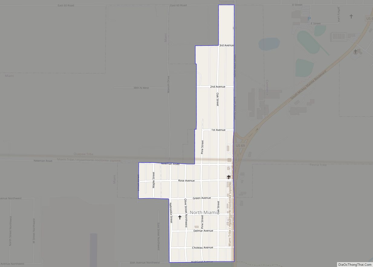
Online Interactive Map
Click on ![]() to view map in "full screen" mode.
to view map in "full screen" mode.
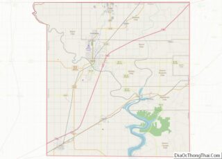
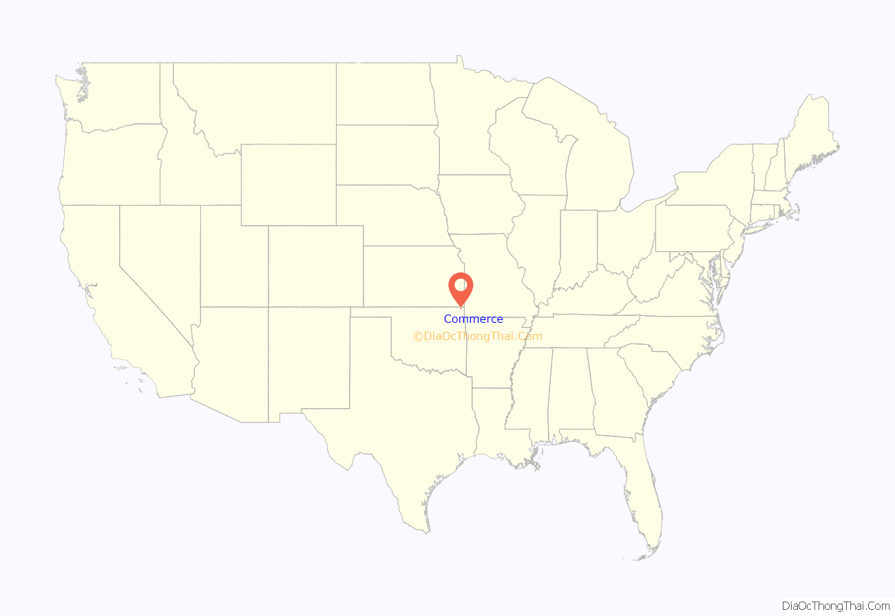
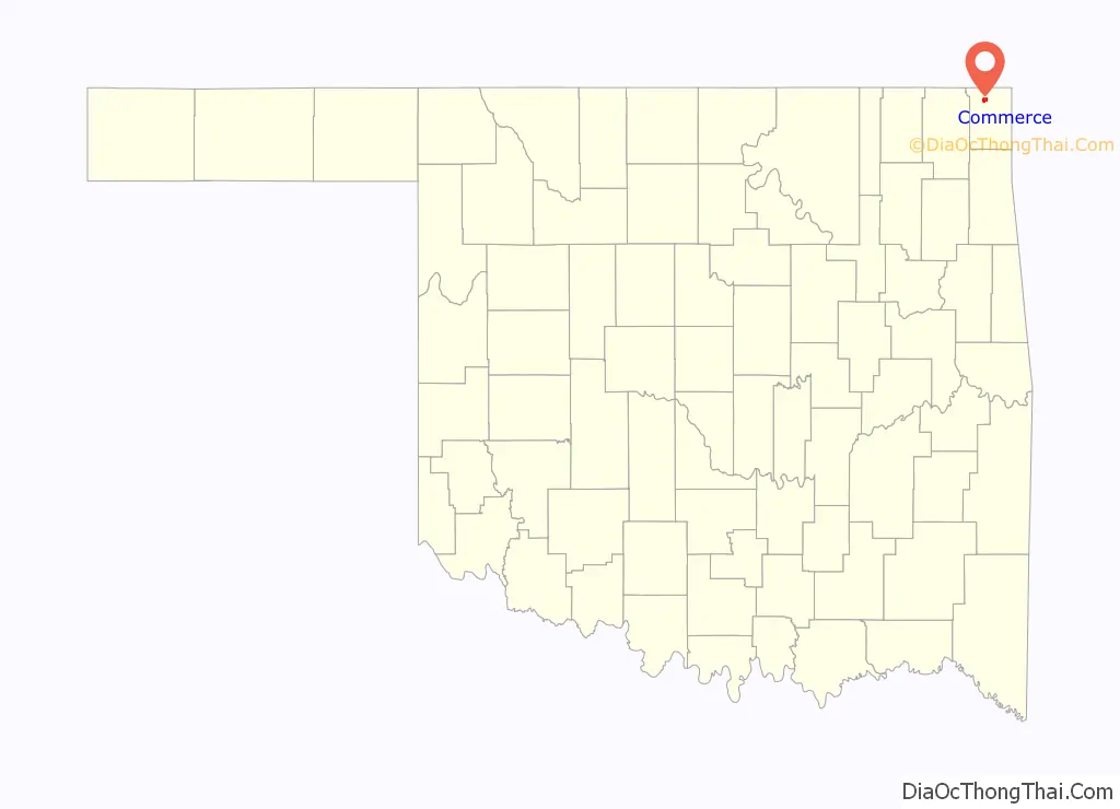
Commerce location map. Where is Commerce city?
History
What became Commerce was land that was part of the Quapaw Indian Agency, allocated in the late 1830s. The Quapaw were removed to the area in the 1830s by the federal government after residing for hundreds of years on the west side of the Mississippi River in what later entered the union as the state of Arkansas.
Immigrants arrived and formed a mining camp named Hattonville after Amos Hatton. In 1906, Hatton developed the Emma Gordon zinc and lead mine, whose resources had attracted workers. Starting in 1908, the Oklahoma, Kansas and Missouri Inter-Urban Railway built a line between Miami and Commerce to serve the mining industry. In a series of steps the line was later acquired by the St. Louis–San Francisco Railway. In 1913, the residents called the local post office North Miami, though by June 1914 the post office took the present-day city’s name that came from the Commerce Mining and Royalty Company, which had bought the mining camp.
In 1914, the mining company platted the town; a mayor–council government formed two years later. By the 1920 census, Commerce had a population of 2,555. The town’s population has remained roughly the same size ever since.
Commerce was on Route 66 when that highway was commissioned in 1926, and was the first town on the route through Oklahoma after crossing the Kansas border westbound.
Commerce was the site of two notable events in the mid-1930s. In April 1934, Bonnie and Clyde and their associate Henry Methvin killed Commerce Constable William C. Campbell and kidnapped police chief Percy Boyd. By May, Bonnie and Clyde would both be dead. In 1935, in an event that would later become notable in retrospect, Mickey Mantle’s father would move his family to Commerce, to work as a miner. Mantle would later be nicknamed “The Commerce Comet.”
Most mines closed by 1960, due to a declining market and the realization of extensive environmental damage to ground, water and air. Residents have turned to occupations such as farming and ranching,
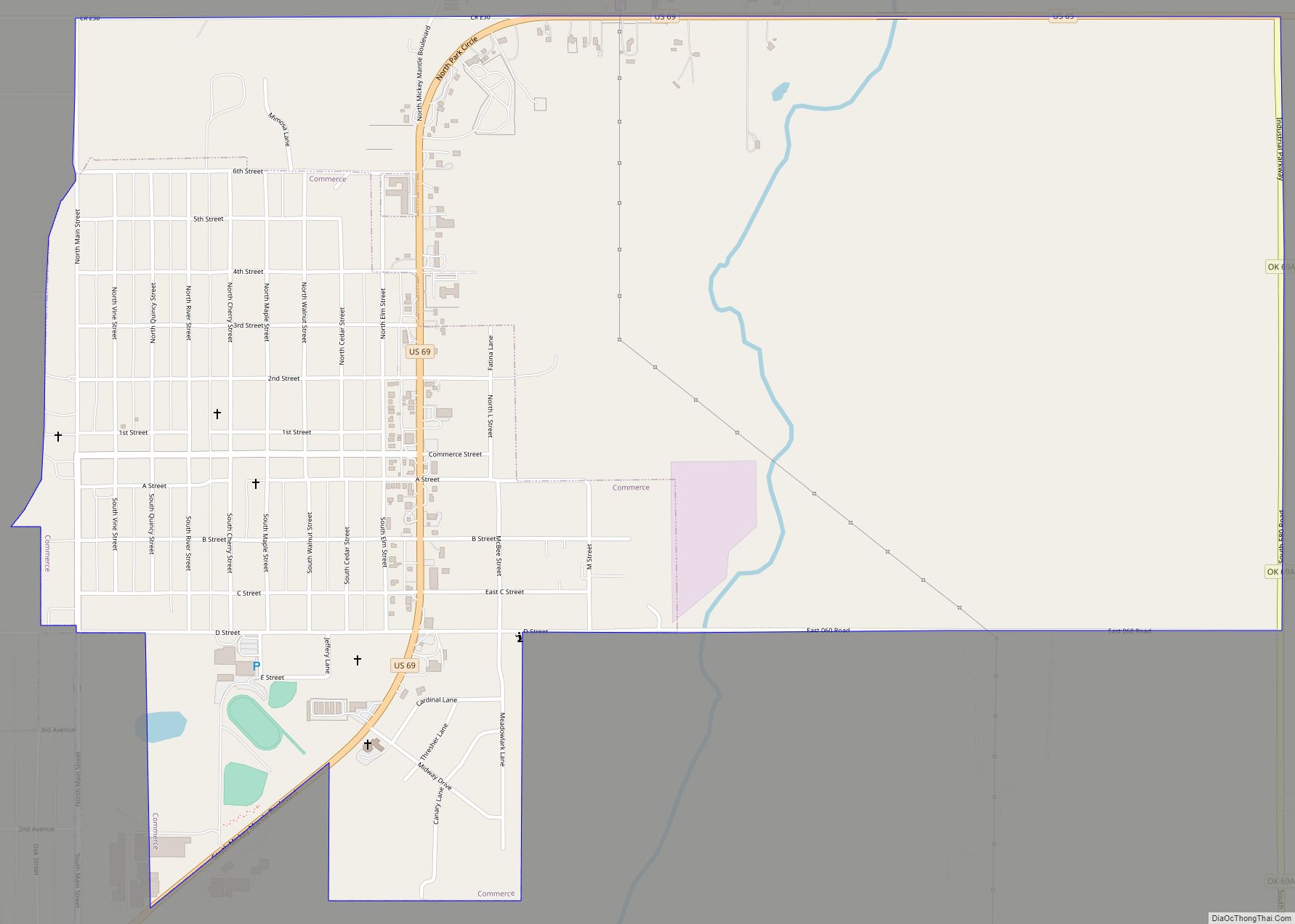
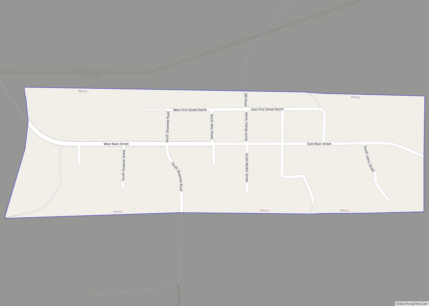
Commerce Road Map

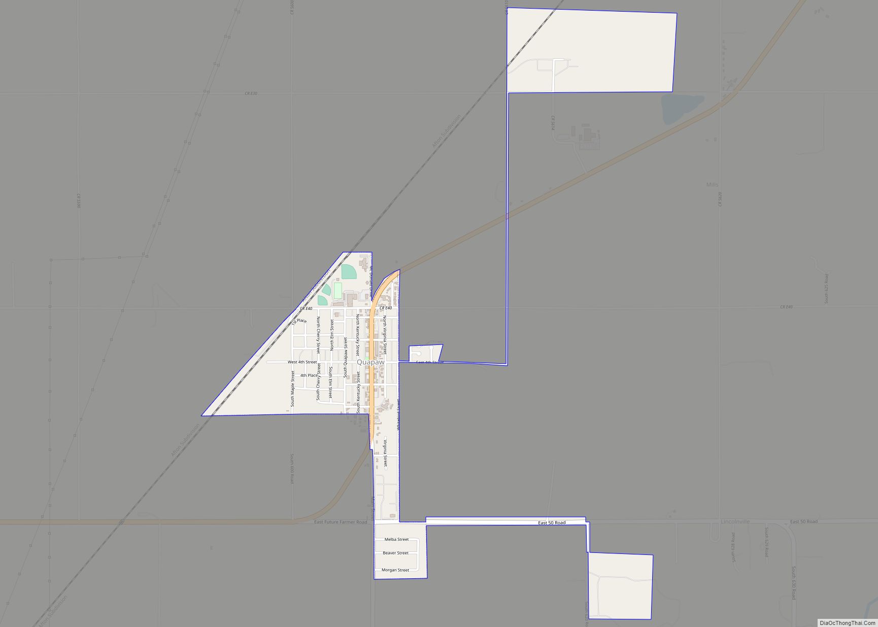
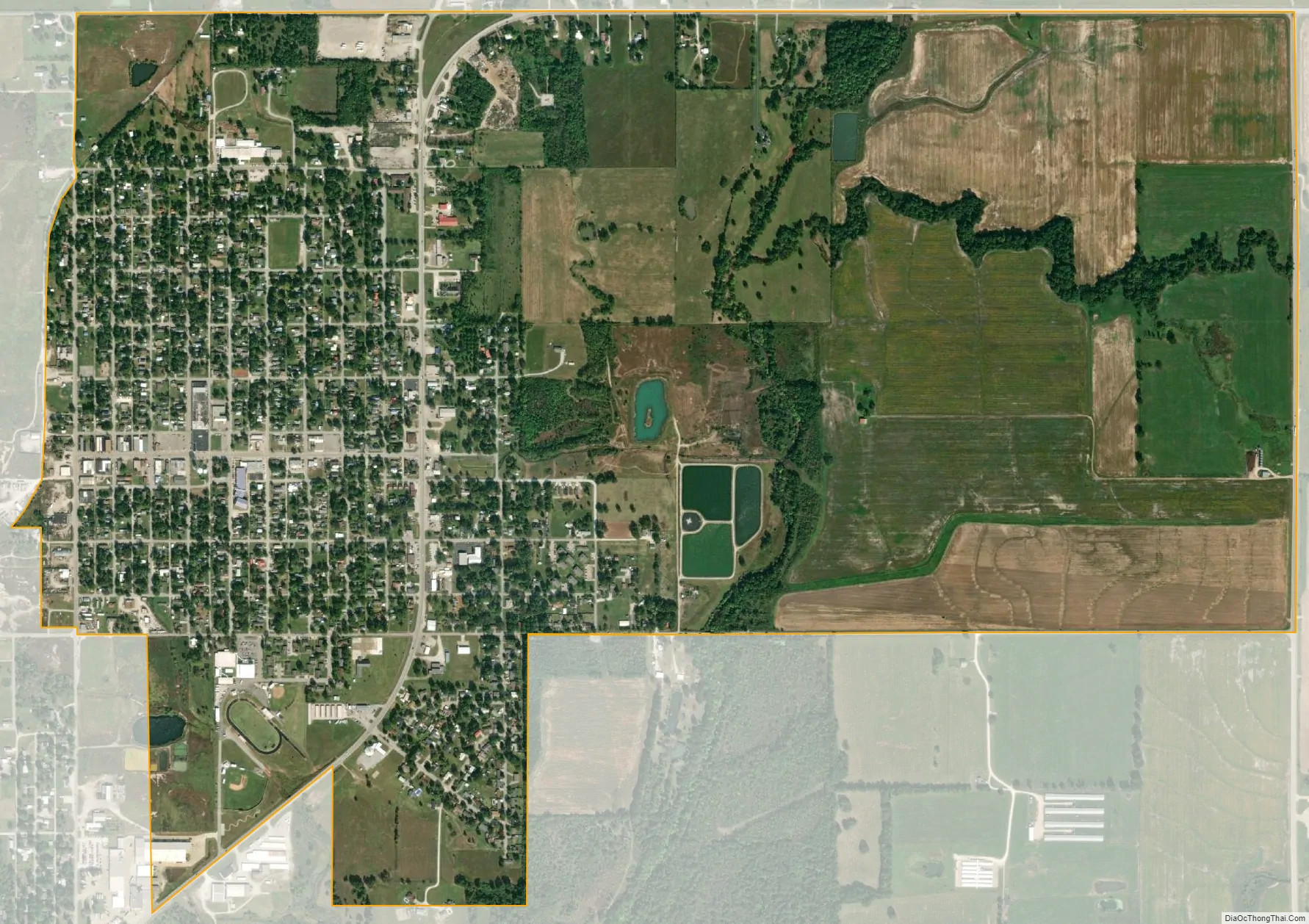
Commerce city Satellite Map
Geography
Commerce is located at 36°56′1″N 94°52′17″W / 36.93361°N 94.87139°W / 36.93361; -94.87139 (36.933529, -94.871371), five miles (8.0 km) north of Miami on U.S. Route 69, which was once part of historic U.S. Route 66. According to the United States Census Bureau, the city has a total area of 0.8 square miles (2.1 km), all land.
See also
Map of Oklahoma State and its subdivision:- Adair
- Alfalfa
- Atoka
- Beaver
- Beckham
- Blaine
- Bryan
- Caddo
- Canadian
- Carter
- Cherokee
- Choctaw
- Cimarron
- Cleveland
- Coal
- Comanche
- Cotton
- Craig
- Creek
- Custer
- Delaware
- Dewey
- Ellis
- Garfield
- Garvin
- Grady
- Grant
- Greer
- Harmon
- Harper
- Haskell
- Hughes
- Jackson
- Jefferson
- Johnston
- Kay
- Kingfisher
- Kiowa
- Latimer
- Le Flore
- Lincoln
- Logan
- Love
- Major
- Marshall
- Mayes
- McClain
- McCurtain
- McIntosh
- Murray
- Muskogee
- Noble
- Nowata
- Okfuskee
- Oklahoma
- Okmulgee
- Osage
- Ottawa
- Pawnee
- Payne
- Pittsburg
- Pontotoc
- Pottawatomie
- Pushmataha
- Roger Mills
- Rogers
- Seminole
- Sequoyah
- Stephens
- Texas
- Tillman
- Tulsa
- Wagoner
- Washington
- Washita
- Woods
- Woodward
- Alabama
- Alaska
- Arizona
- Arkansas
- California
- Colorado
- Connecticut
- Delaware
- District of Columbia
- Florida
- Georgia
- Hawaii
- Idaho
- Illinois
- Indiana
- Iowa
- Kansas
- Kentucky
- Louisiana
- Maine
- Maryland
- Massachusetts
- Michigan
- Minnesota
- Mississippi
- Missouri
- Montana
- Nebraska
- Nevada
- New Hampshire
- New Jersey
- New Mexico
- New York
- North Carolina
- North Dakota
- Ohio
- Oklahoma
- Oregon
- Pennsylvania
- Rhode Island
- South Carolina
- South Dakota
- Tennessee
- Texas
- Utah
- Vermont
- Virginia
- Washington
- West Virginia
- Wisconsin
- Wyoming