Quapaw is a town in Ottawa County, Oklahoma, United States. Its population was 906 at the 2010 census, a 7.9% decline from the 984 recorded in 2000. Quapaw is part of the Joplin, Missouri metropolitan area.
| Name: | Quapaw town |
|---|---|
| LSAD Code: | 43 |
| LSAD Description: | town (suffix) |
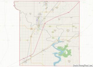
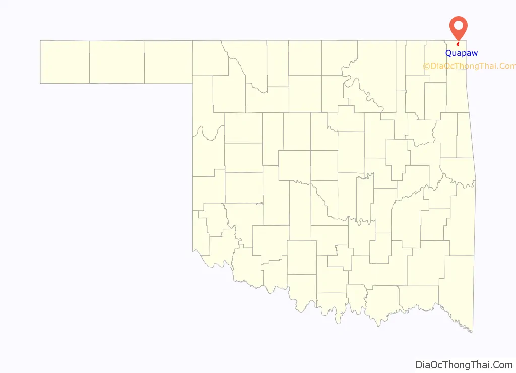
| State: | Oklahoma |
| County: | Ottawa County |
| Elevation: | 846 ft (258 m) |
| Total Area: | 0.98 sq mi (2.53 km²) |
| Land Area: | 0.98 sq mi (2.53 km²) |
| Water Area: | 0.00 sq mi (0.00 km²) |
| Total Population: | 811 |
| Population Density: | 830.94/sq mi (320.75/km²) |
| ZIP code: | 74363 |
| Area code: | 539/918 |
| FIPS code: | 4061400 |
| GNISfeature ID: | 1096980 |
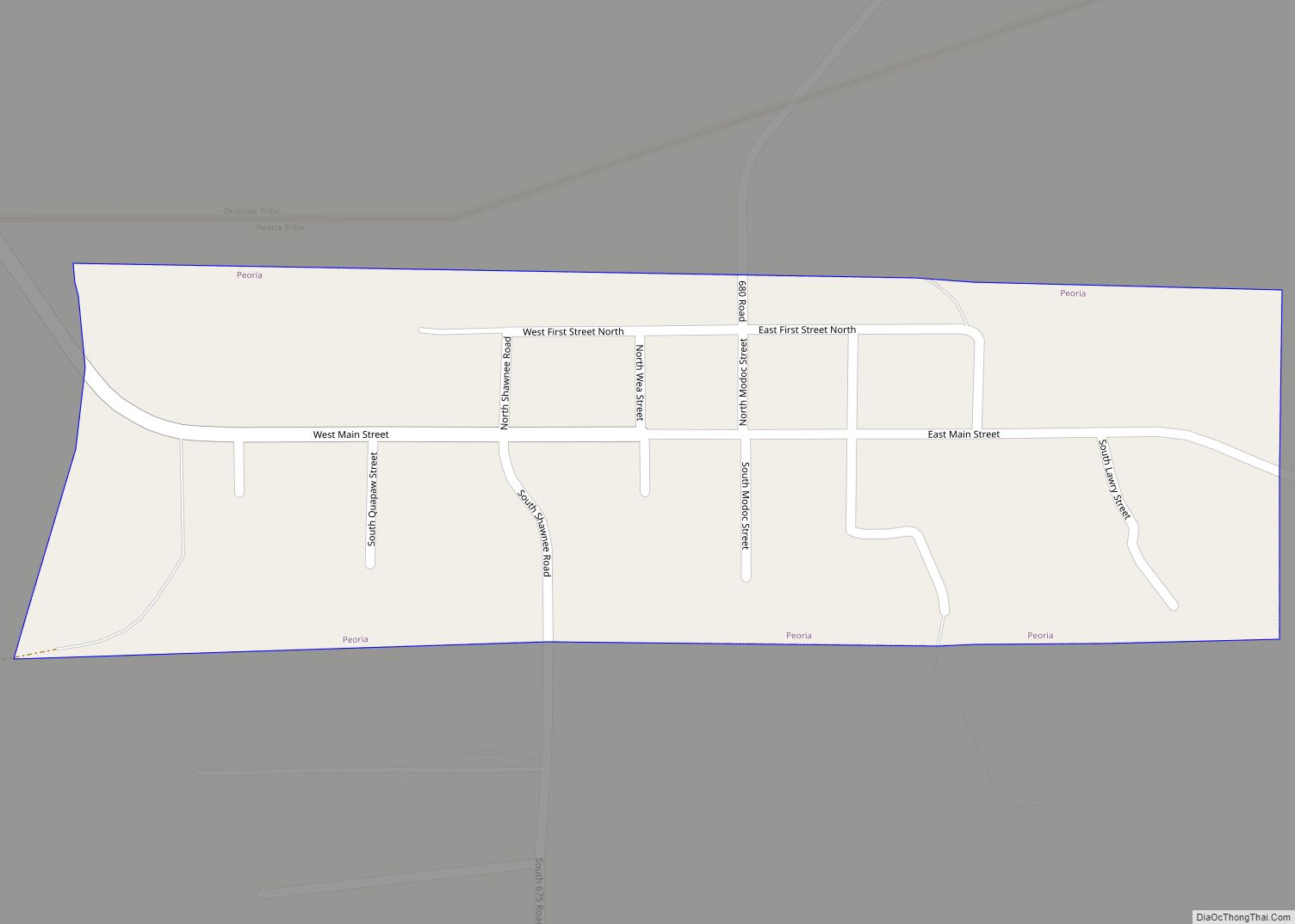
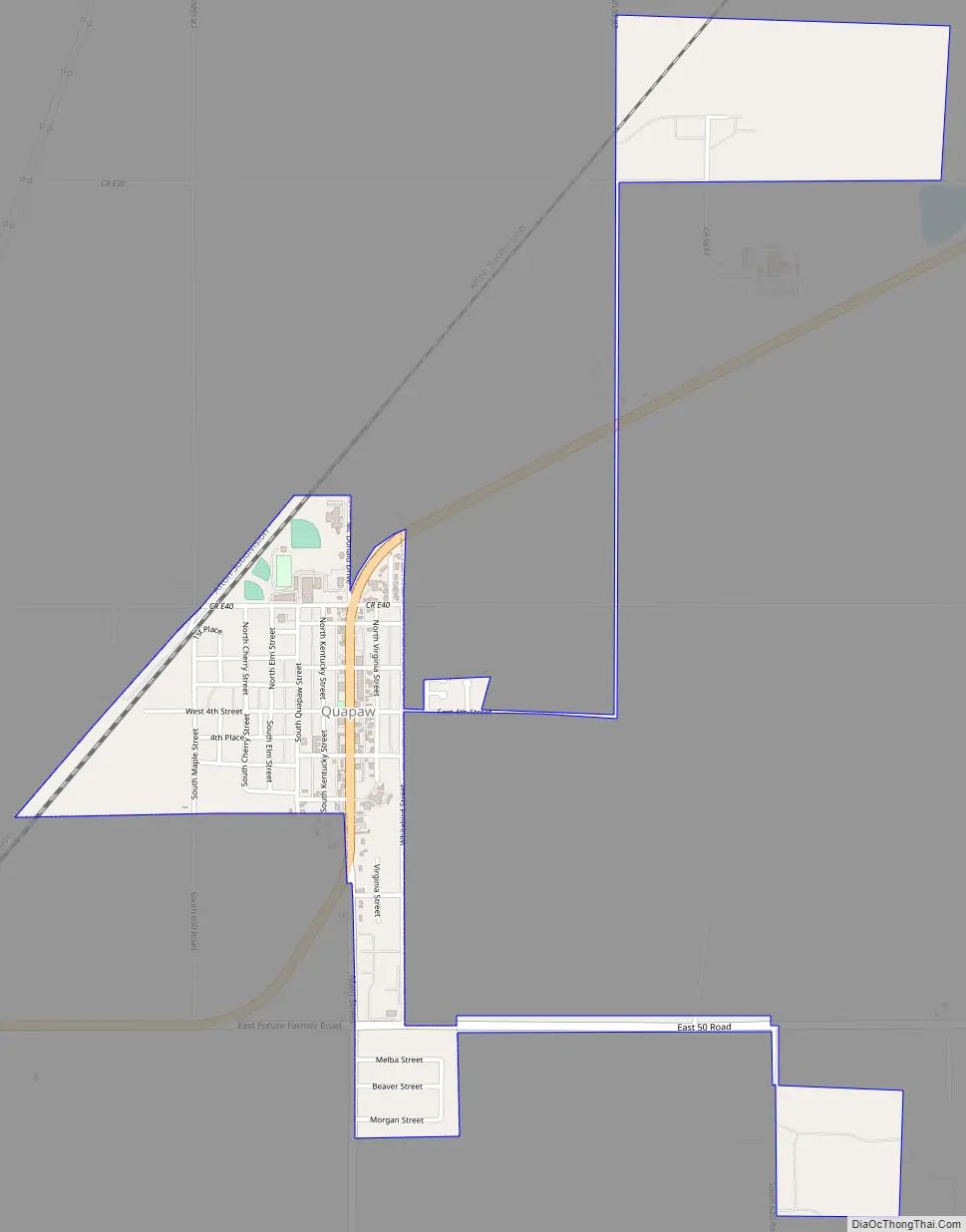
Online Interactive Map
Click on ![]() to view map in "full screen" mode.
to view map in "full screen" mode.
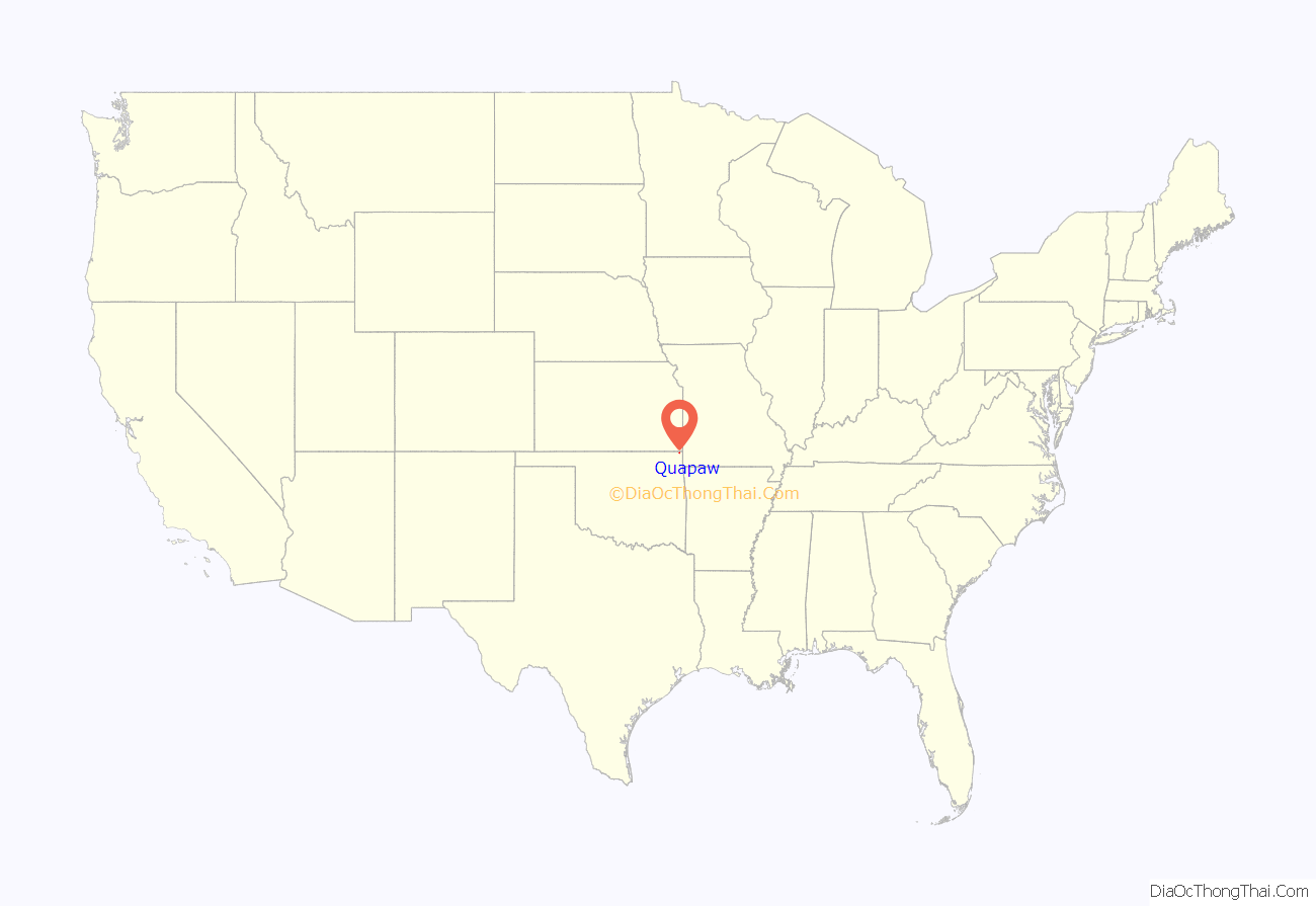
Quapaw location map. Where is Quapaw town?
History
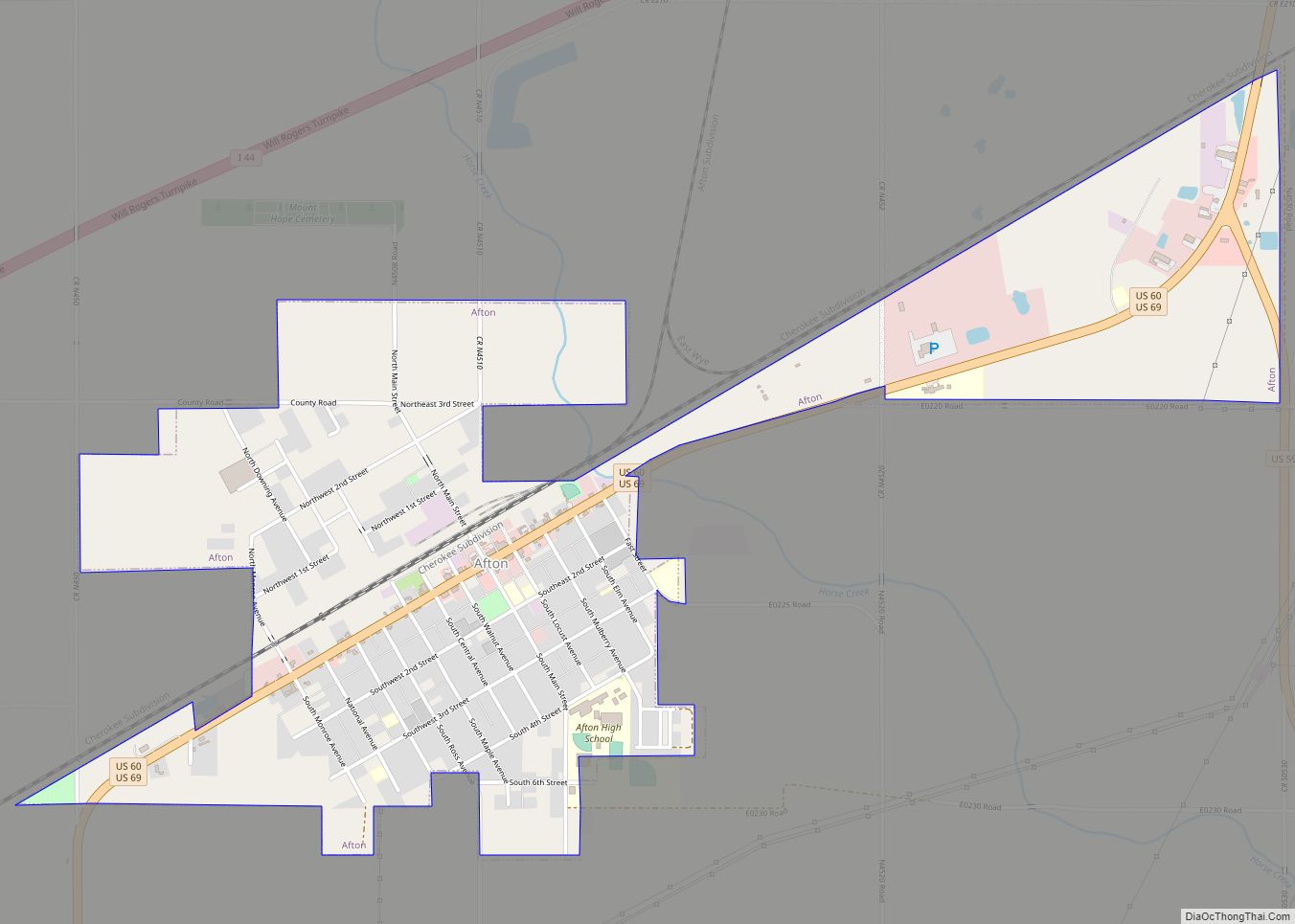
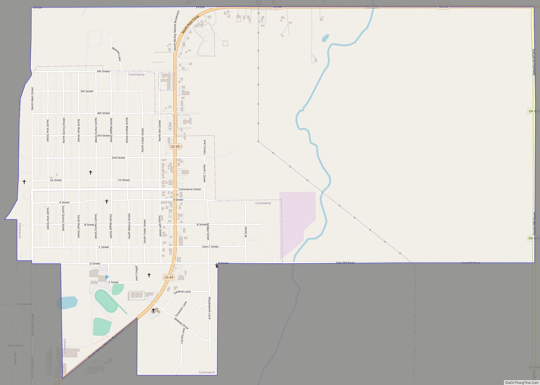
In 1891, Kansas farmer Isaac Bingham moved his family south into Ottawa County, then part of land assigned to the Quapaw Nation. It became part of the state of Oklahoma in 1907 after admission. The family founded a community and opened several businesses. Quapaw Chief John Quapaw donated land for a community school. The Kansas City, Fort Scott and Memphis Railroad established a railroad stop and siding at this site. This established access to markets for hay and agricultural products of the area, attracting more settlers. A post office was opened in the community grocery store in 1897.
The community leaders platted “New Town Quapaw” on land to the east that was purchased from Harry Whitebird (Quapaw). This “new” town was incorporated in 1917 as Quapaw. Discovery of lead and zinc ores in the area resulted in this area being developed as part of the Tri-State mining district. As thousands of miners moved into the larger area, a population boom occurred.
Native Americans were generally excluded from mining jobs, although the county had a significant population from several federally recognized tribes, such as the Quapaw. The population and economic boom stimulated development of new businesses. The 1920 census for the town listed 1,394 residents. In the 1920s, U. S. Route 66 was developed through Quapaw and was paved through Ottawa County by 1933. This event was celebrated with Quapaw Chief Victor Griffin laying a zinc tablet in the center of Main Street.
As the local mining operations began to decline before World War II, jobs left the region and the population declined to 1,054 by 1940, and to 850 by 1960. The region was left with widespread mine tailings, known as chat, and extensive environmental toxic hazards.
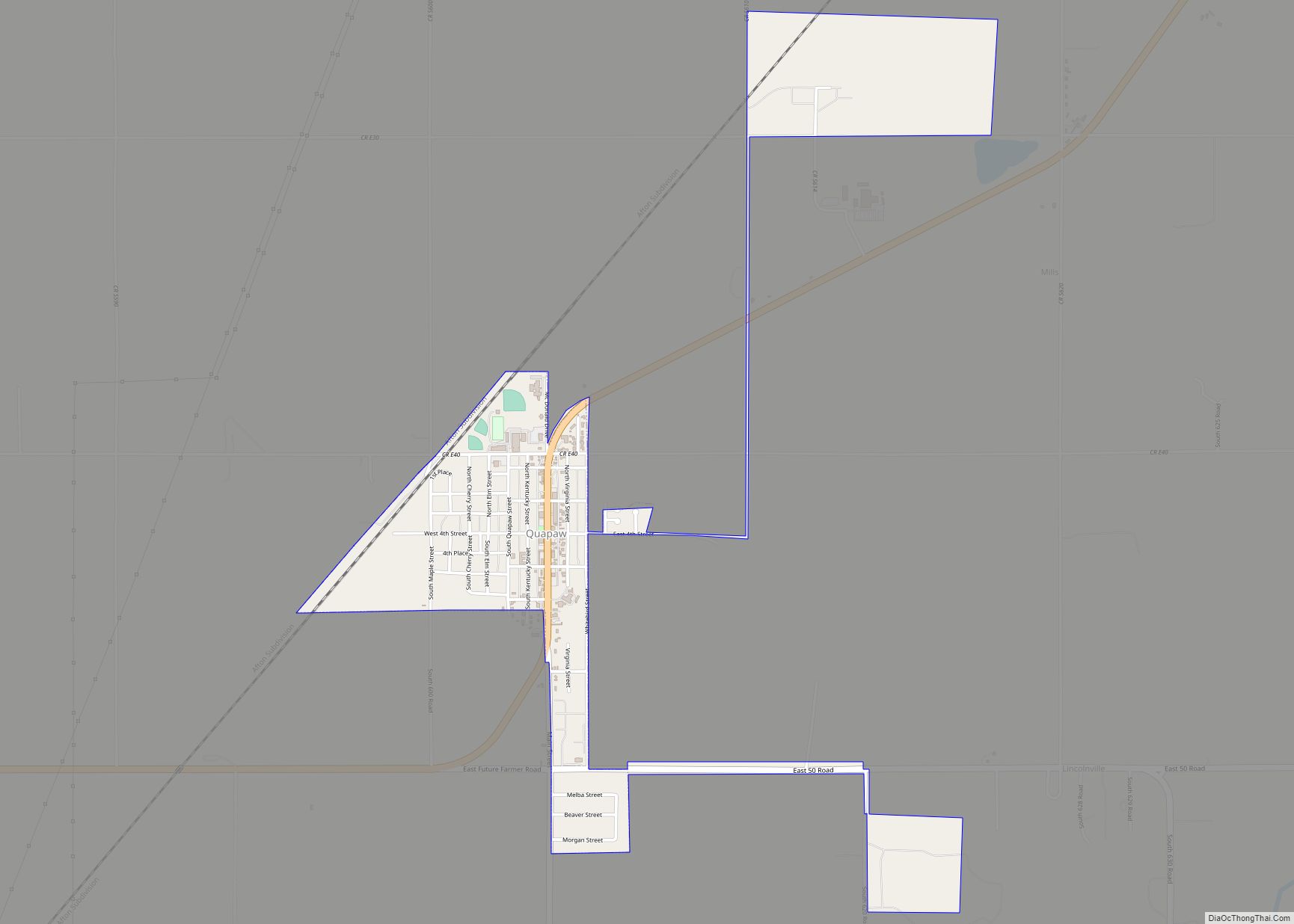
Quapaw Road Map
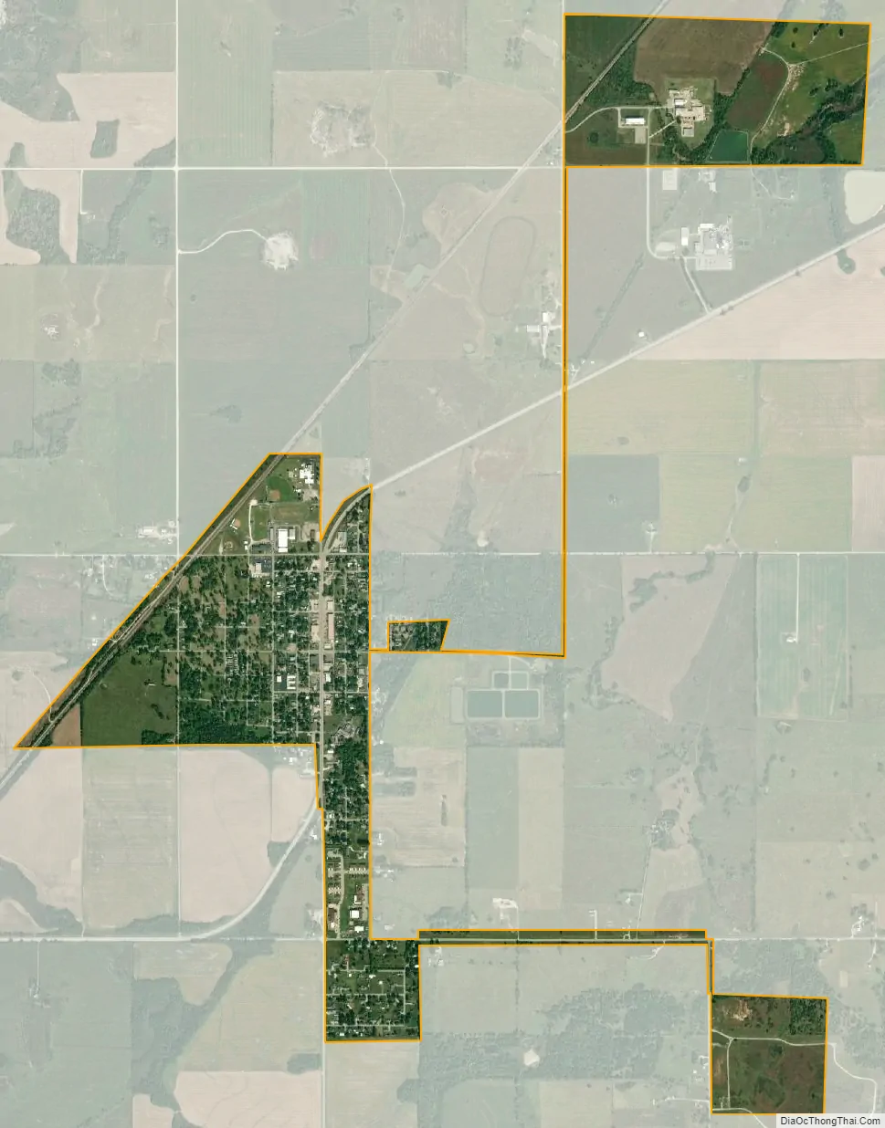
Quapaw city Satellite Map
Geography
According to the United States Census Bureau, the town has a total area of 0.6 square miles (1.6 km), all land. Quapaw is 9 miles (14 km) north of Miami and is the last town in Oklahoma on U.S. Highway 69A before the Kansas state line.
See also
Map of Oklahoma State and its subdivision:- Adair
- Alfalfa
- Atoka
- Beaver
- Beckham
- Blaine
- Bryan
- Caddo
- Canadian
- Carter
- Cherokee
- Choctaw
- Cimarron
- Cleveland
- Coal
- Comanche
- Cotton
- Craig
- Creek
- Custer
- Delaware
- Dewey
- Ellis
- Garfield
- Garvin
- Grady
- Grant
- Greer
- Harmon
- Harper
- Haskell
- Hughes
- Jackson
- Jefferson
- Johnston
- Kay
- Kingfisher
- Kiowa
- Latimer
- Le Flore
- Lincoln
- Logan
- Love
- Major
- Marshall
- Mayes
- McClain
- McCurtain
- McIntosh
- Murray
- Muskogee
- Noble
- Nowata
- Okfuskee
- Oklahoma
- Okmulgee
- Osage
- Ottawa
- Pawnee
- Payne
- Pittsburg
- Pontotoc
- Pottawatomie
- Pushmataha
- Roger Mills
- Rogers
- Seminole
- Sequoyah
- Stephens
- Texas
- Tillman
- Tulsa
- Wagoner
- Washington
- Washita
- Woods
- Woodward
- Alabama
- Alaska
- Arizona
- Arkansas
- California
- Colorado
- Connecticut
- Delaware
- District of Columbia
- Florida
- Georgia
- Hawaii
- Idaho
- Illinois
- Indiana
- Iowa
- Kansas
- Kentucky
- Louisiana
- Maine
- Maryland
- Massachusetts
- Michigan
- Minnesota
- Mississippi
- Missouri
- Montana
- Nebraska
- Nevada
- New Hampshire
- New Jersey
- New Mexico
- New York
- North Carolina
- North Dakota
- Ohio
- Oklahoma
- Oregon
- Pennsylvania
- Rhode Island
- South Carolina
- South Dakota
- Tennessee
- Texas
- Utah
- Vermont
- Virginia
- Washington
- West Virginia
- Wisconsin
- Wyoming