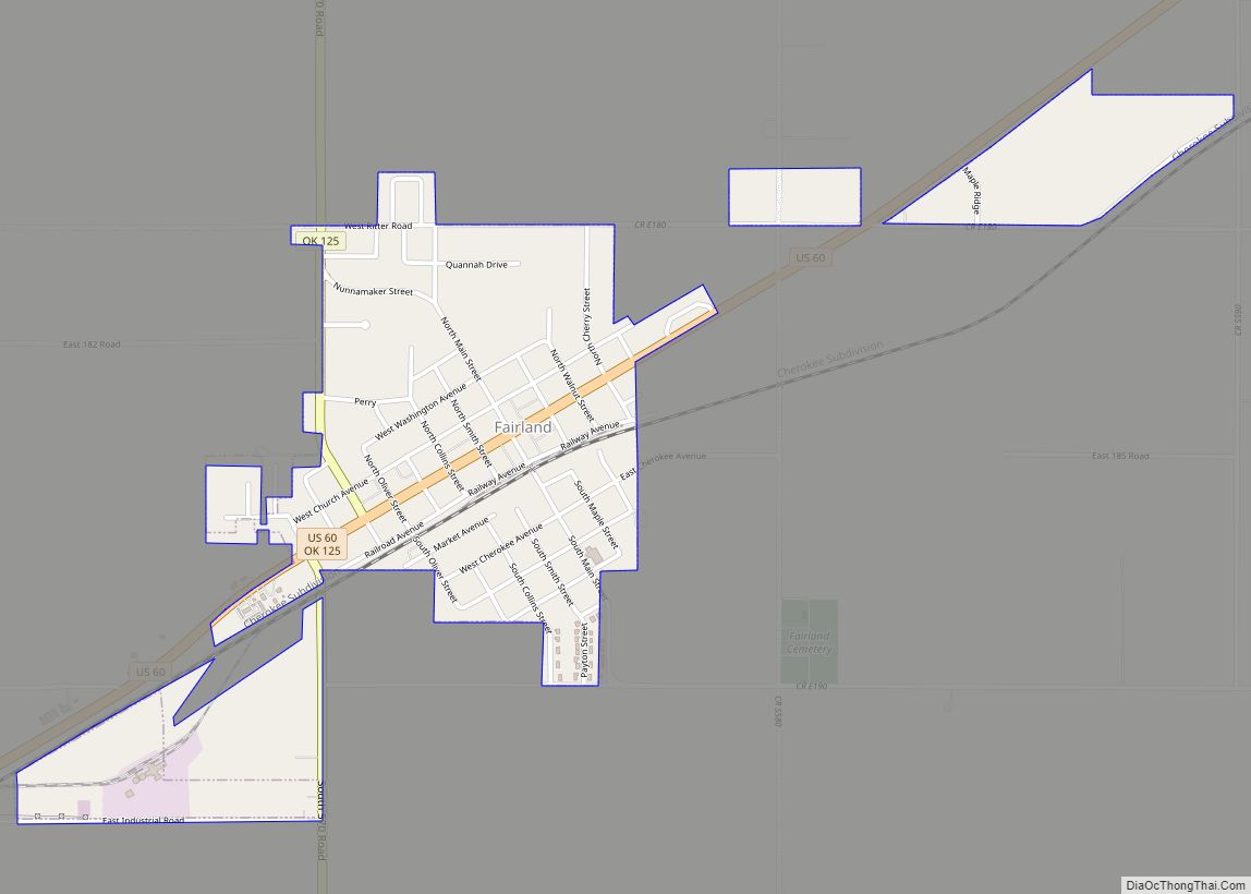
Fairland is a town in southern Ottawa County, Oklahoma, United States. The population was 1,057 at the 2010 U. S. Census, an increase from the figure of 1,025 recorded in 2000. The town is in the historic Cherokee Nation.
| Name: | Fairland town |
|---|---|
| LSAD Code: | 43 |
| LSAD Description: | town (suffix) |
| State: | Oklahoma |
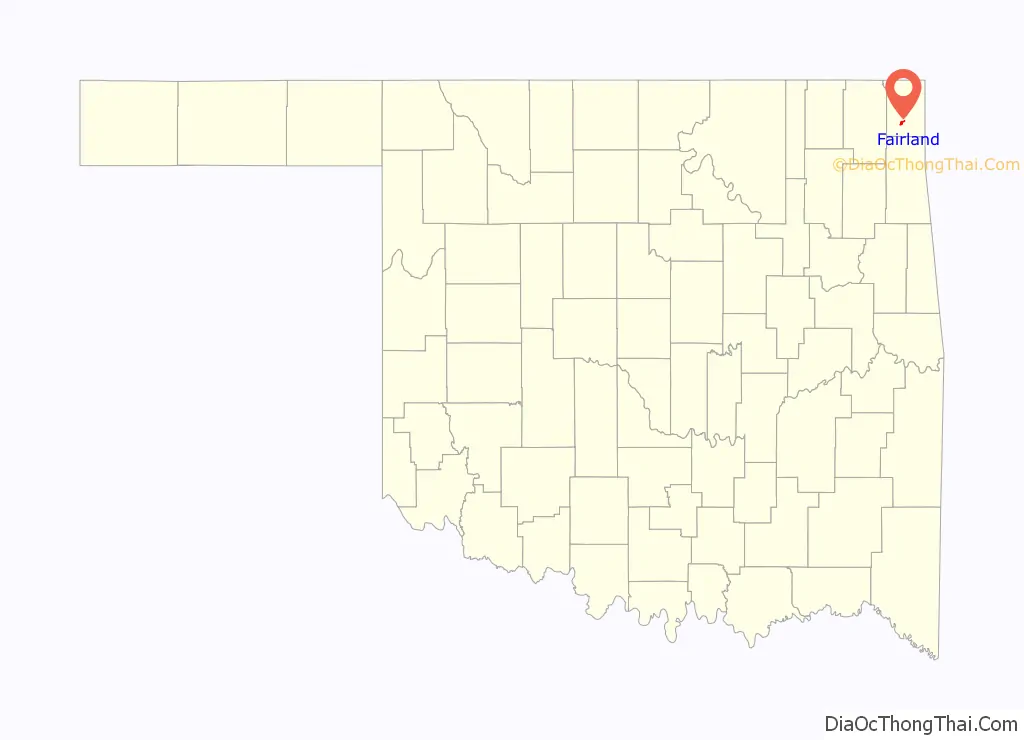
| County: | Ottawa County |
| Elevation: | 837 ft (255 m) |
| Total Area: | 1.12 sq mi (2.90 km²) |
| Land Area: | 1.12 sq mi (2.90 km²) |
| Water Area: | 0.00 sq mi (0.00 km²) |
| Total Population: | 1,106 |
| Population Density: | 987.50/sq mi (381.44/km²) |
| ZIP code: | 74343 |
| Area code: | 539/918 |
| FIPS code: | 4024900 |
| GNISfeature ID: | 1092694 |
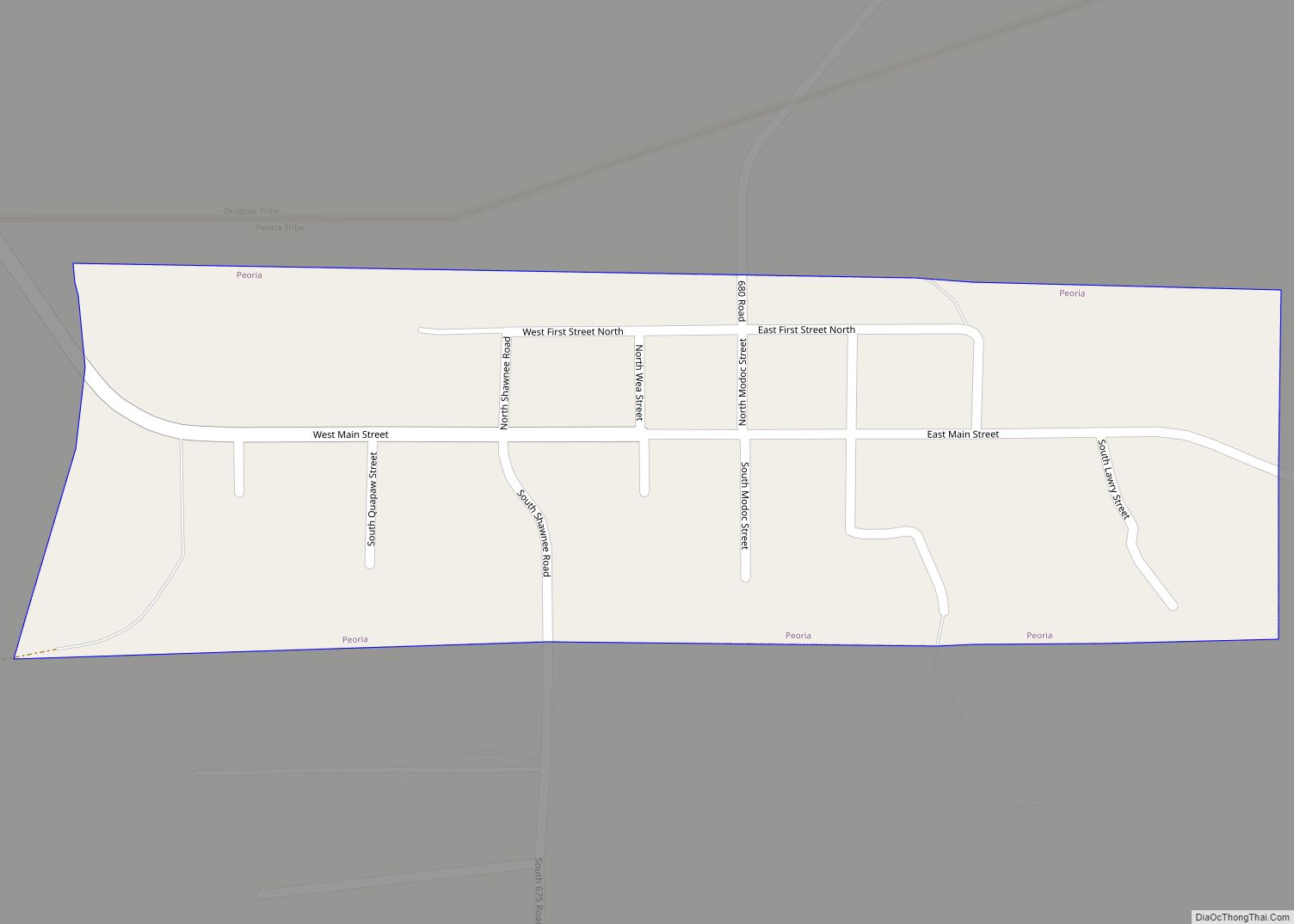
Online Interactive Map
Click on ![]() to view map in "full screen" mode.
to view map in "full screen" mode.
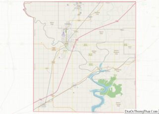
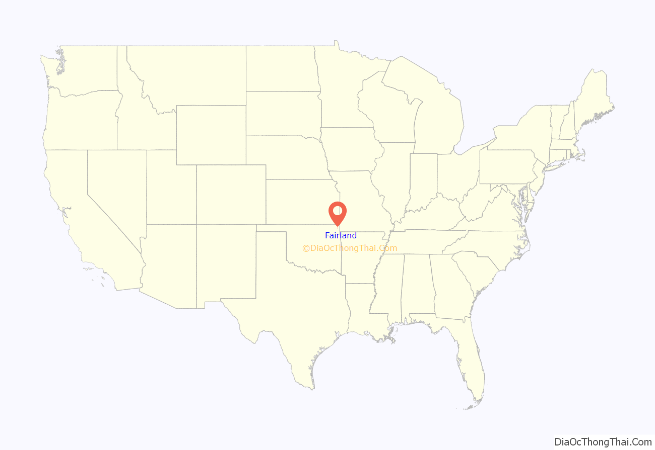
Fairland location map. Where is Fairland town?
History
Fairland was laid out along the St. Louis and San Francisco Railway (Frisco) tracks that were laid from Missouri to Vinita in 1871. The town originally covered 225 acres and consisted of a few businesses and residences that had moved there from the Prairie Springs area.
By the time Oklahoma became a state, Fairland was an active farming community. In 1912, the Missouri, Oklahoma and Gulf Railway, later the Kansas, Oklahoma and Gulf Railway (KO&G), constructed a track through Fairland that crossed the earlier Frisco line.
Agriculture remained the mainstay of the local economy until the end of World War II. In 1945, B. F. Goodrich opened a tire manufacturing plant near Miami that became the major contributor to Fairland’s economy. The town organized a volunteer fire department and built a sewer system about 1950. The Fairland School district absorbed several smaller districts. However, KO&G abandoned and removed its tracks about the same time.
The Goodrich plant closed permanently in February 1985. The loss to Fairland’s economy was offset by the opening of several communities on the shore of Grand Lake O’ the Cherokees.
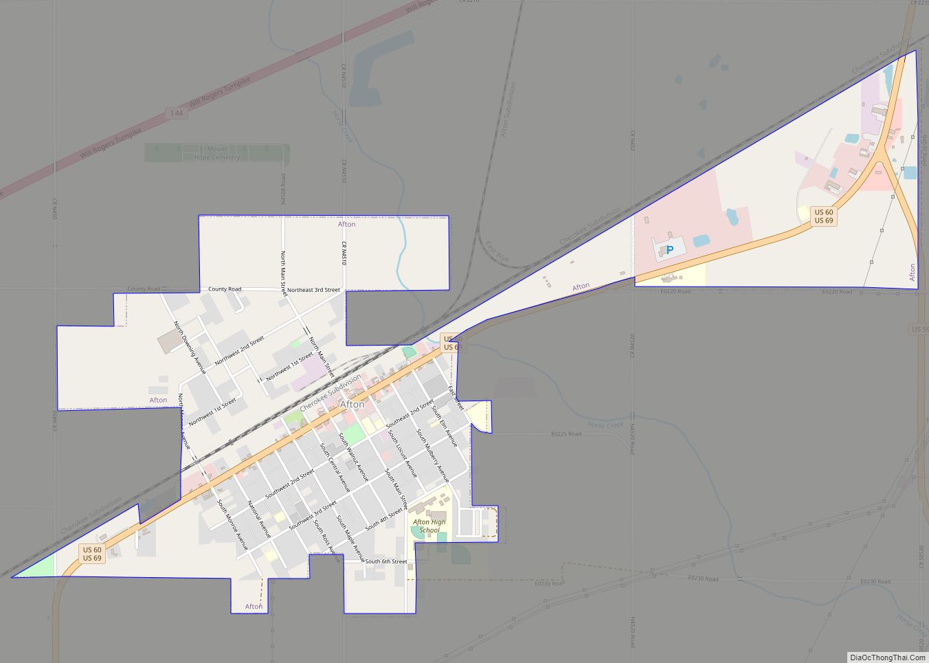
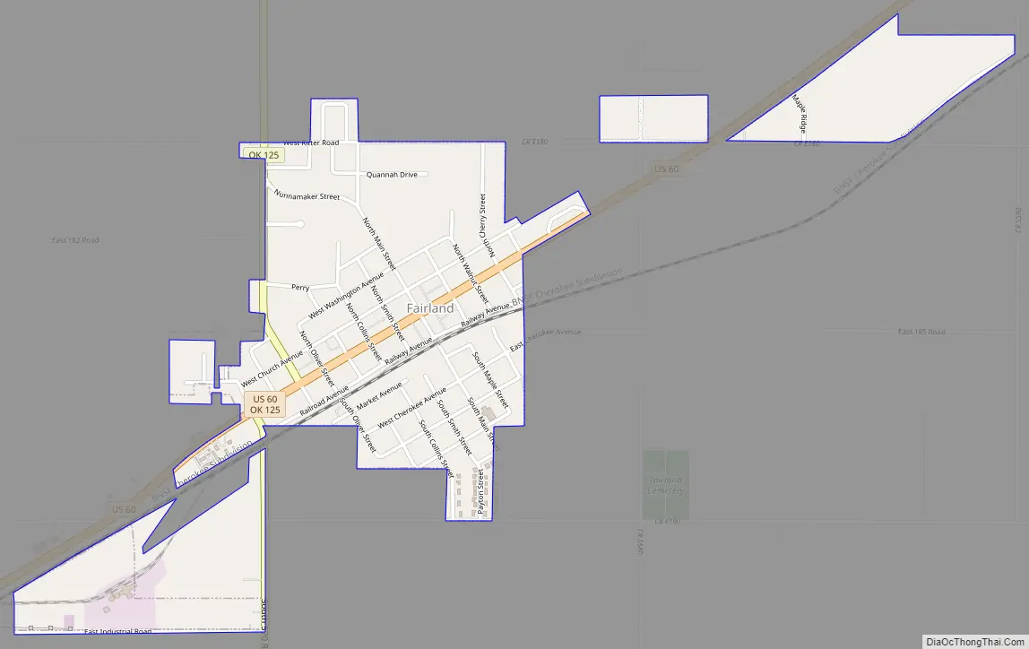
Fairland Road Map
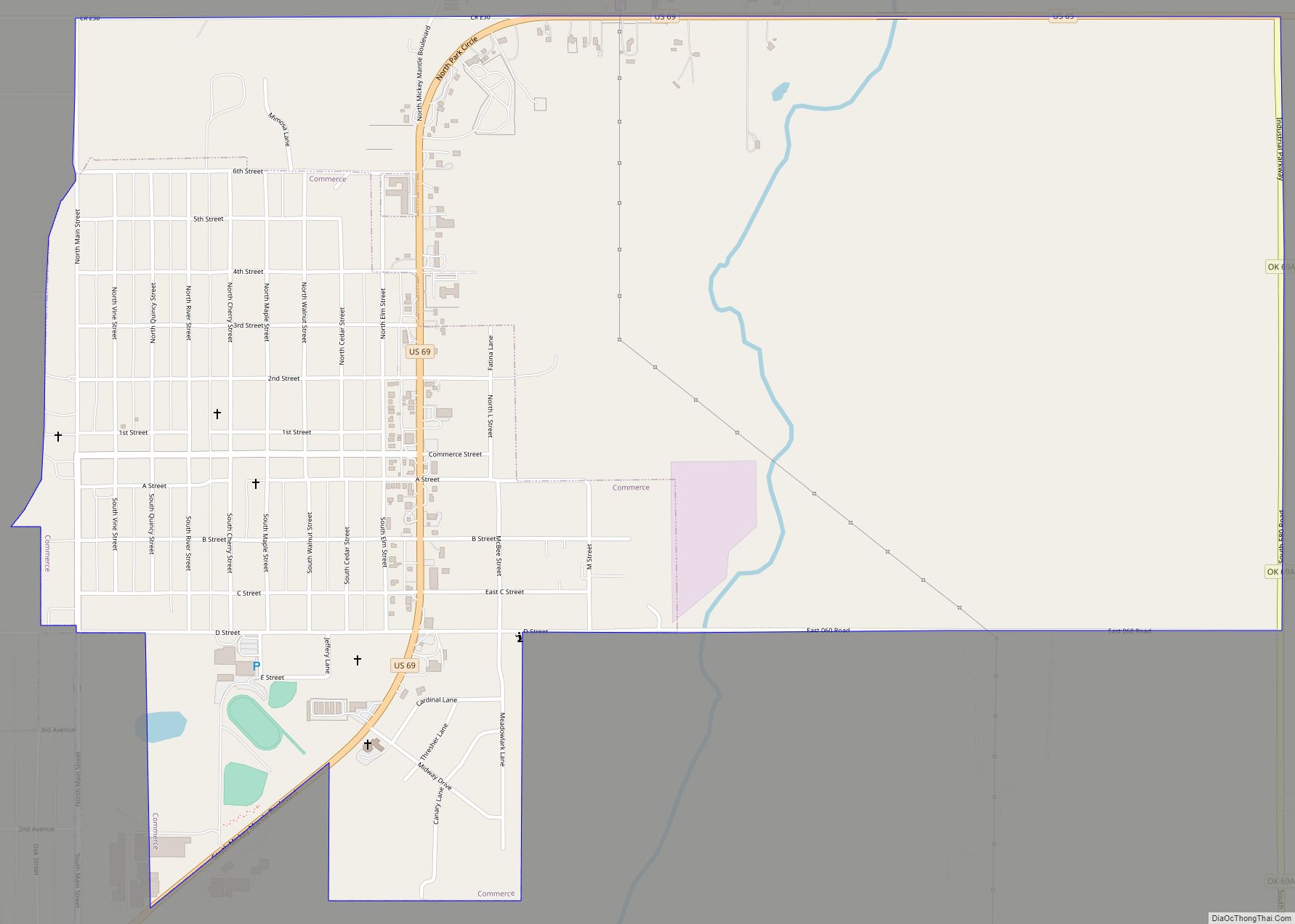
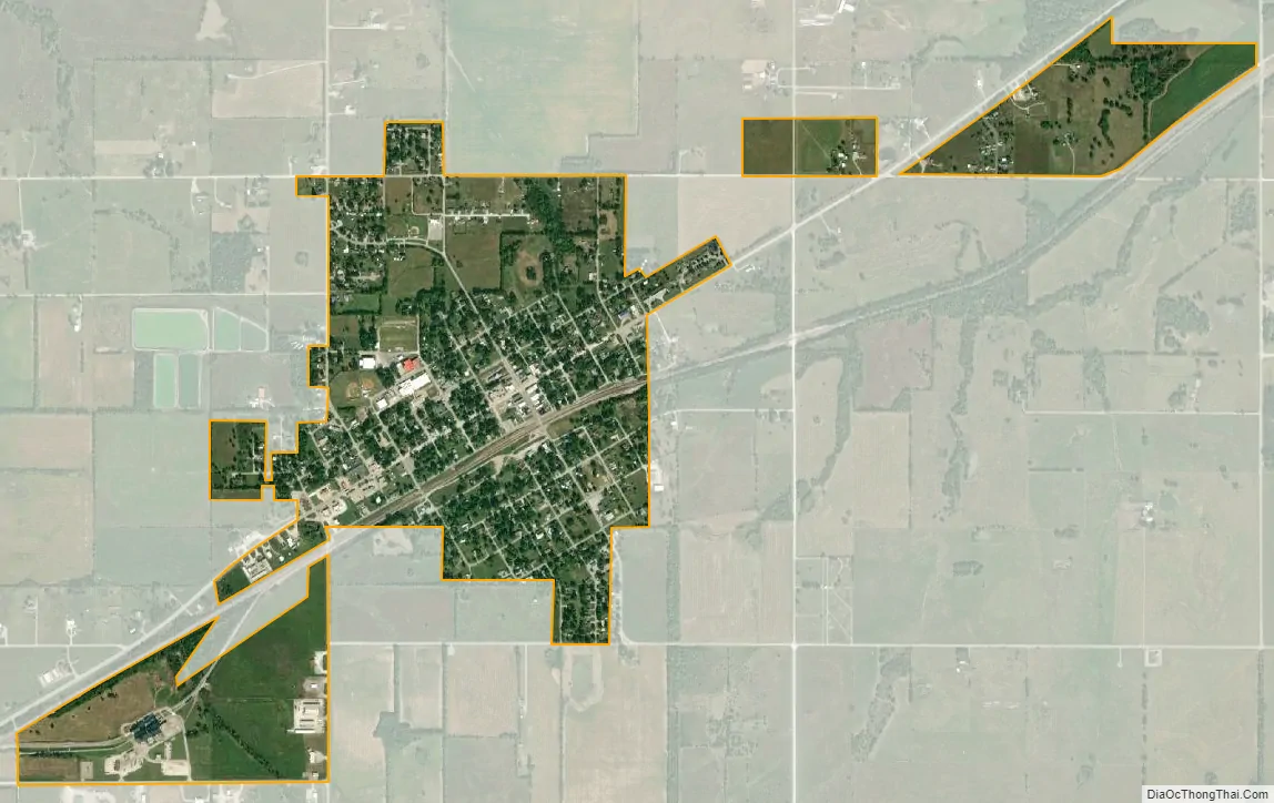
Fairland city Satellite Map
Geography
Fairland is located at 36°45′1″N 94°50′54″W / 36.75028°N 94.84833°W / 36.75028; -94.84833 (36.750185, -94.848203).
According to the United States Census Bureau, the town has a total area of 0.9 square miles (2.3 km), all land. The town sits on a small rise in the landscape, which is the headwaters of three creeks: Hudson Creek watershed to the Northwest, the Ogeechee Creek watershed to the East, and the Horse Creek Watershed to the Southwest. All of these creeks eventually drain into the Neosho River.
See also
Map of Oklahoma State and its subdivision:- Adair
- Alfalfa
- Atoka
- Beaver
- Beckham
- Blaine
- Bryan
- Caddo
- Canadian
- Carter
- Cherokee
- Choctaw
- Cimarron
- Cleveland
- Coal
- Comanche
- Cotton
- Craig
- Creek
- Custer
- Delaware
- Dewey
- Ellis
- Garfield
- Garvin
- Grady
- Grant
- Greer
- Harmon
- Harper
- Haskell
- Hughes
- Jackson
- Jefferson
- Johnston
- Kay
- Kingfisher
- Kiowa
- Latimer
- Le Flore
- Lincoln
- Logan
- Love
- Major
- Marshall
- Mayes
- McClain
- McCurtain
- McIntosh
- Murray
- Muskogee
- Noble
- Nowata
- Okfuskee
- Oklahoma
- Okmulgee
- Osage
- Ottawa
- Pawnee
- Payne
- Pittsburg
- Pontotoc
- Pottawatomie
- Pushmataha
- Roger Mills
- Rogers
- Seminole
- Sequoyah
- Stephens
- Texas
- Tillman
- Tulsa
- Wagoner
- Washington
- Washita
- Woods
- Woodward
- Alabama
- Alaska
- Arizona
- Arkansas
- California
- Colorado
- Connecticut
- Delaware
- District of Columbia
- Florida
- Georgia
- Hawaii
- Idaho
- Illinois
- Indiana
- Iowa
- Kansas
- Kentucky
- Louisiana
- Maine
- Maryland
- Massachusetts
- Michigan
- Minnesota
- Mississippi
- Missouri
- Montana
- Nebraska
- Nevada
- New Hampshire
- New Jersey
- New Mexico
- New York
- North Carolina
- North Dakota
- Ohio
- Oklahoma
- Oregon
- Pennsylvania
- Rhode Island
- South Carolina
- South Dakota
- Tennessee
- Texas
- Utah
- Vermont
- Virginia
- Washington
- West Virginia
- Wisconsin
- Wyoming