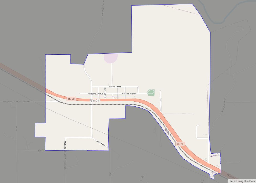
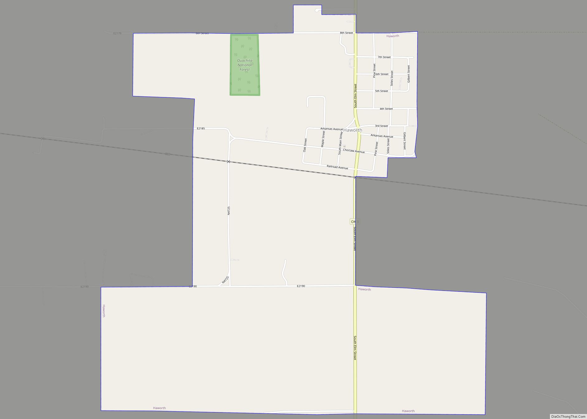
Garvin is a town in McCurtain County, Oklahoma, United States. The population was 256 at the 2010 census, compared to 143 in 2000.
| Name: | Garvin town |
|---|---|
| LSAD Code: | 43 |
| LSAD Description: | town (suffix) |
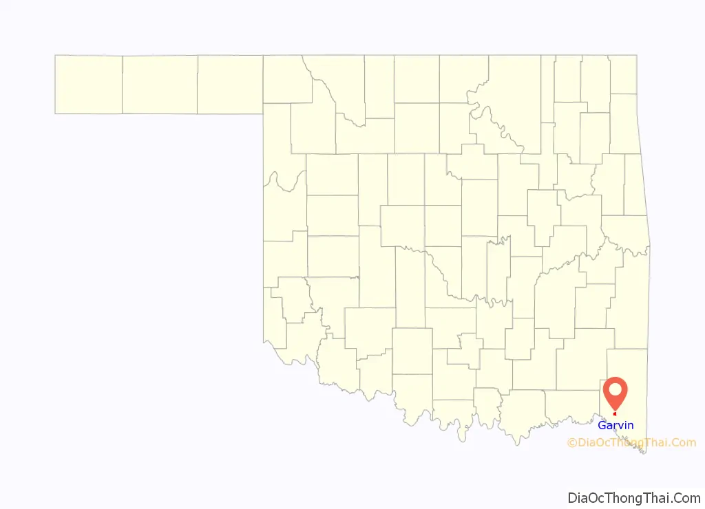
| State: | Oklahoma |
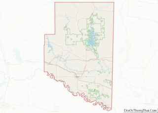
| County: | McCurtain County |
| Elevation: | 489 ft (149 m) |
| Total Area: | 1.90 sq mi (4.93 km²) |
| Land Area: | 1.90 sq mi (4.92 km²) |
| Water Area: | 0.00 sq mi (0.00 km²) |
| Total Population: | 177 |
| Population Density: | 93.11/sq mi (35.95/km²) |
| ZIP code: | 74736 |
| Area code: | 580 |
| FIPS code: | 4028700 |
| GNISfeature ID: | 109313 |
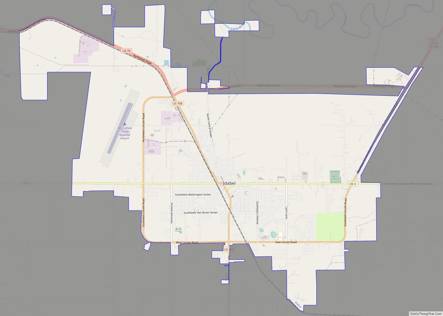
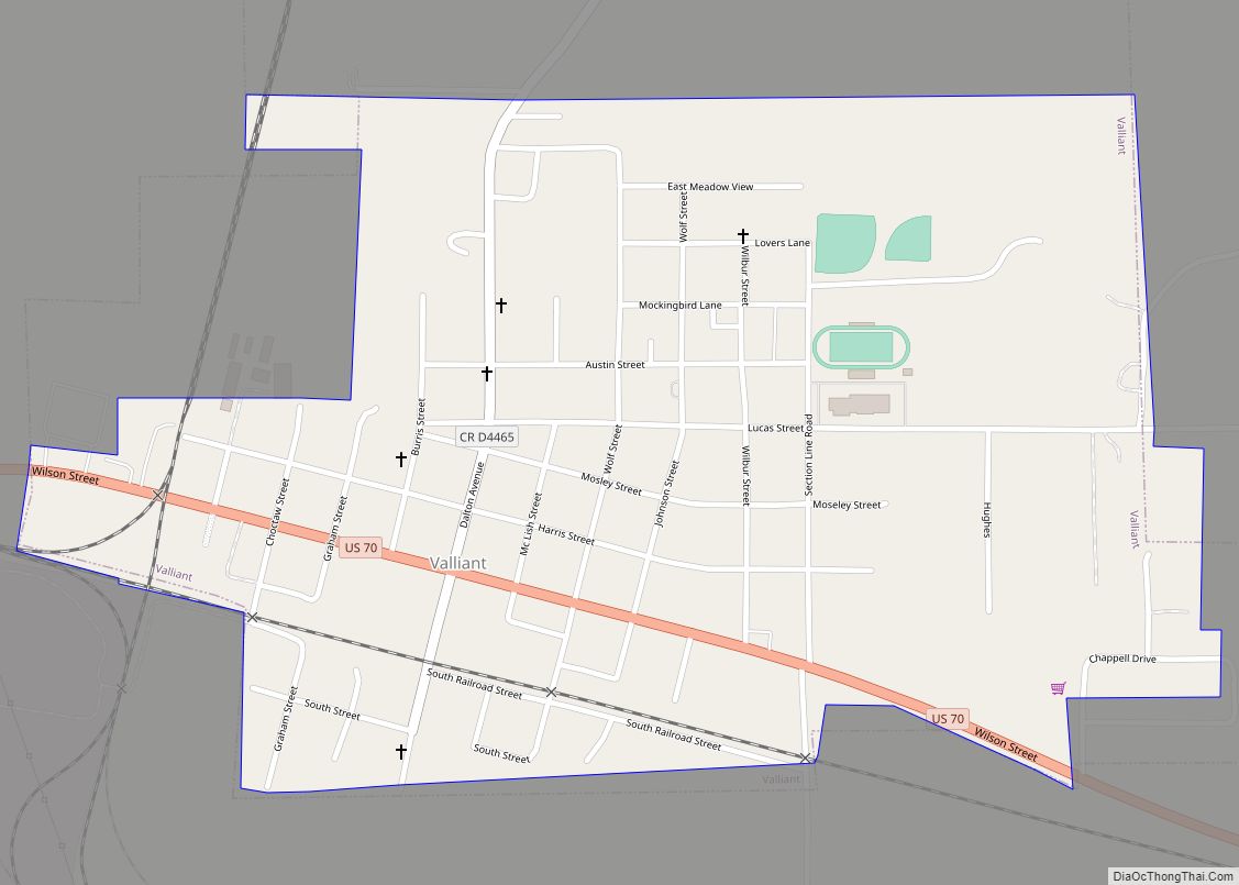
Online Interactive Map
Click on ![]() to view map in "full screen" mode.
to view map in "full screen" mode.
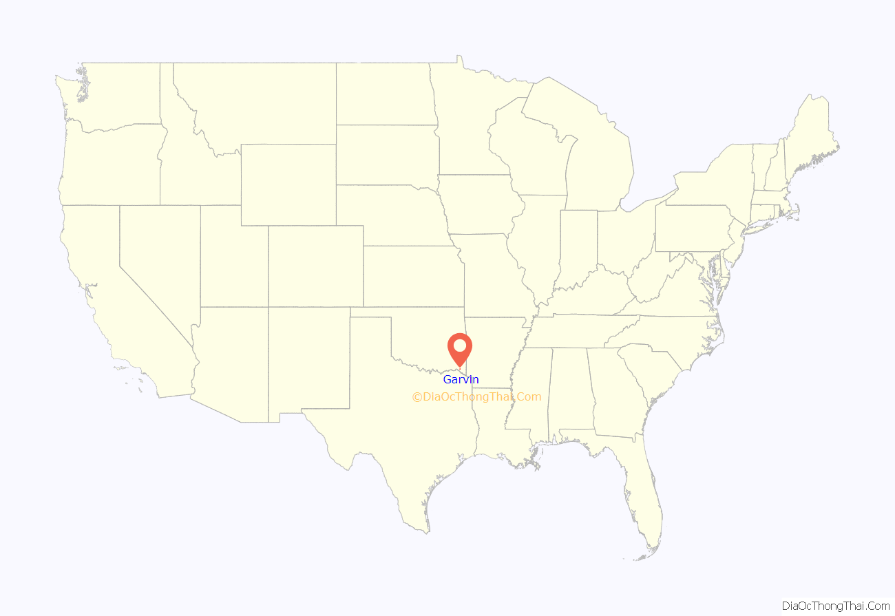
Garvin location map. Where is Garvin town?
History
Garvin began as a trading post in the Choctaw Nation, approximately 1.5 miles (2.4 km) southeast of the present community bearing the same name. A post office named Garvin was established at the trading post on February 19, 1894. James W. Kirk, owner of the trading post, was the first postmaster, and chose to name the post office “Garvin,” after his father-in-law, Isaac L. Garvin, who had been chief of the Choctaw Nation from 1878 to 1880.
At the time of its founding, Garvin was located in Bok Tuklo County, a part of the Apukshunnubbee District of the Choctaw Nation.
In 1902, the Choctaw Land Commission selected a new site along the railroad that was being constructed across what would become McCurtain County, Oklahoma. The 126 acres (0.51 km) site, which would reclaim the name Garvin, was halfway between Valliant and Purnell (later renamed Idabel). The new Garvin began to develop rapidly. The first newspaper to serve that part of the country was the Garvin Graphic, which began publishing in 1903. A school opened in September, 1904, with an enrollment of 50 students. A cotton gin began operation in the same year. In 1905, Garvin had a telephone system. Garvin had a population of 800 in 1906, 15 stores had opened by then and several professional people (e.g., doctors and lawyers) had established practices.
Statehood had caused the dissolution of the Choctaw Nation as a political entity, replaced by the creation of several counties of the new state of Oklahoma. Garvin fell within the boundaries of McCurtain County. Idabel was chosen as the county seat, although Garvin then had the larger population. Its economic base was forest products, because of the dense forests in its vicinity. The town had several wood processing businesses, creating job opportunities. There was a large sawmill, a veneering plant, a barrel hoop plant and a barrel stave plant. Whole logs could be shipped to other markets over several miles of a tramway that led south toward the Red River. Garvin’s population rose to a peak of 957 in 1910, then dropped to only 293 at the 1920 census. Garvin never regained its previous growth. Meanwhile, its local rival, Idabel had surged ahead to a 1910 population of 1,493 and continued growth, with a total of 3,067 residents in 1920.
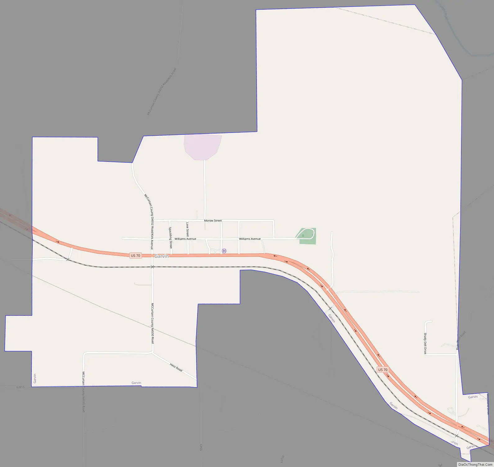
Garvin Road Map
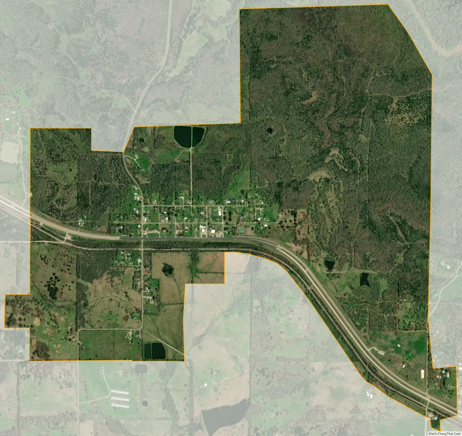
Garvin city Satellite Map
Geography
Garvin is located at 33°57′18″N 94°56′29″W / 33.95500°N 94.94139°W / 33.95500; -94.94139 (33.954888, -94.941513). According to the United States Census Bureau, this town has a total area of 0.3 square miles (0.78 km), all land. It is also approximately 1.5 miles (2.4 km) south of Little River.
See also
Map of Oklahoma State and its subdivision:- Adair
- Alfalfa
- Atoka
- Beaver
- Beckham
- Blaine
- Bryan
- Caddo
- Canadian
- Carter
- Cherokee
- Choctaw
- Cimarron
- Cleveland
- Coal
- Comanche
- Cotton
- Craig
- Creek
- Custer
- Delaware
- Dewey
- Ellis
- Garfield
- Garvin
- Grady
- Grant
- Greer
- Harmon
- Harper
- Haskell
- Hughes
- Jackson
- Jefferson
- Johnston
- Kay
- Kingfisher
- Kiowa
- Latimer
- Le Flore
- Lincoln
- Logan
- Love
- Major
- Marshall
- Mayes
- McClain
- McCurtain
- McIntosh
- Murray
- Muskogee
- Noble
- Nowata
- Okfuskee
- Oklahoma
- Okmulgee
- Osage
- Ottawa
- Pawnee
- Payne
- Pittsburg
- Pontotoc
- Pottawatomie
- Pushmataha
- Roger Mills
- Rogers
- Seminole
- Sequoyah
- Stephens
- Texas
- Tillman
- Tulsa
- Wagoner
- Washington
- Washita
- Woods
- Woodward
- Alabama
- Alaska
- Arizona
- Arkansas
- California
- Colorado
- Connecticut
- Delaware
- District of Columbia
- Florida
- Georgia
- Hawaii
- Idaho
- Illinois
- Indiana
- Iowa
- Kansas
- Kentucky
- Louisiana
- Maine
- Maryland
- Massachusetts
- Michigan
- Minnesota
- Mississippi
- Missouri
- Montana
- Nebraska
- Nevada
- New Hampshire
- New Jersey
- New Mexico
- New York
- North Carolina
- North Dakota
- Ohio
- Oklahoma
- Oregon
- Pennsylvania
- Rhode Island
- South Carolina
- South Dakota
- Tennessee
- Texas
- Utah
- Vermont
- Virginia
- Washington
- West Virginia
- Wisconsin
- Wyoming