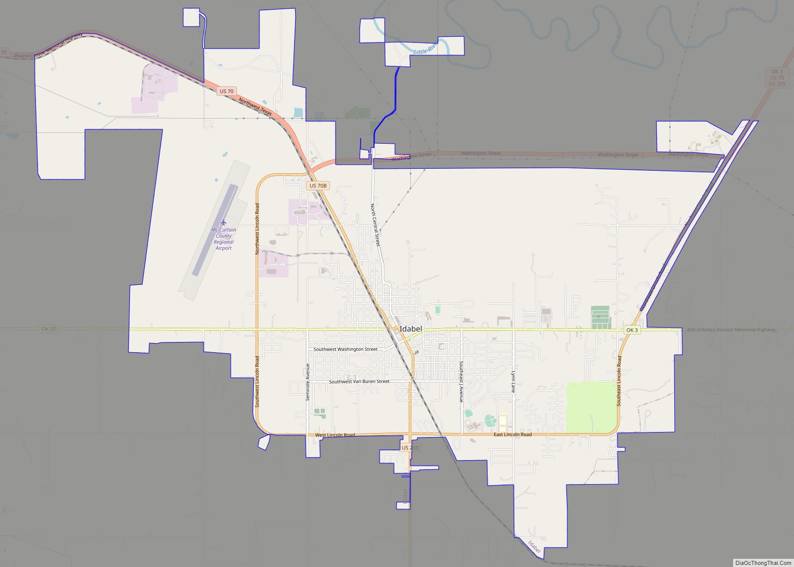
Idabel is a city in and county seat of McCurtain County, Oklahoma, United States. The population was 7,010 at the 2010 census. It is located in the southeast corner of Oklahoma, a tourist area known as Choctaw Country.
| Name: | Idabel city |
|---|---|
| LSAD Code: | 25 |
| LSAD Description: | city (suffix) |
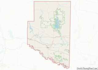
| State: | Oklahoma |
| County: | McCurtain County |
| Elevation: | 472 ft (144 m) |
| Total Area: | 16.75 sq mi (43.38 km²) |
| Land Area: | 16.63 sq mi (43.08 km²) |
| Water Area: | 0.12 sq mi (0.30 km²) |
| Total Population: | 6,961 |
| Population Density: | 418.51/sq mi (161.58/km²) |
| ZIP code: | 74745 |
| Area code: | 580 |
| FIPS code: | 4036750 |
| GNISfeature ID: | 2410089 |
| Website: | www.idabel-ok.gov |
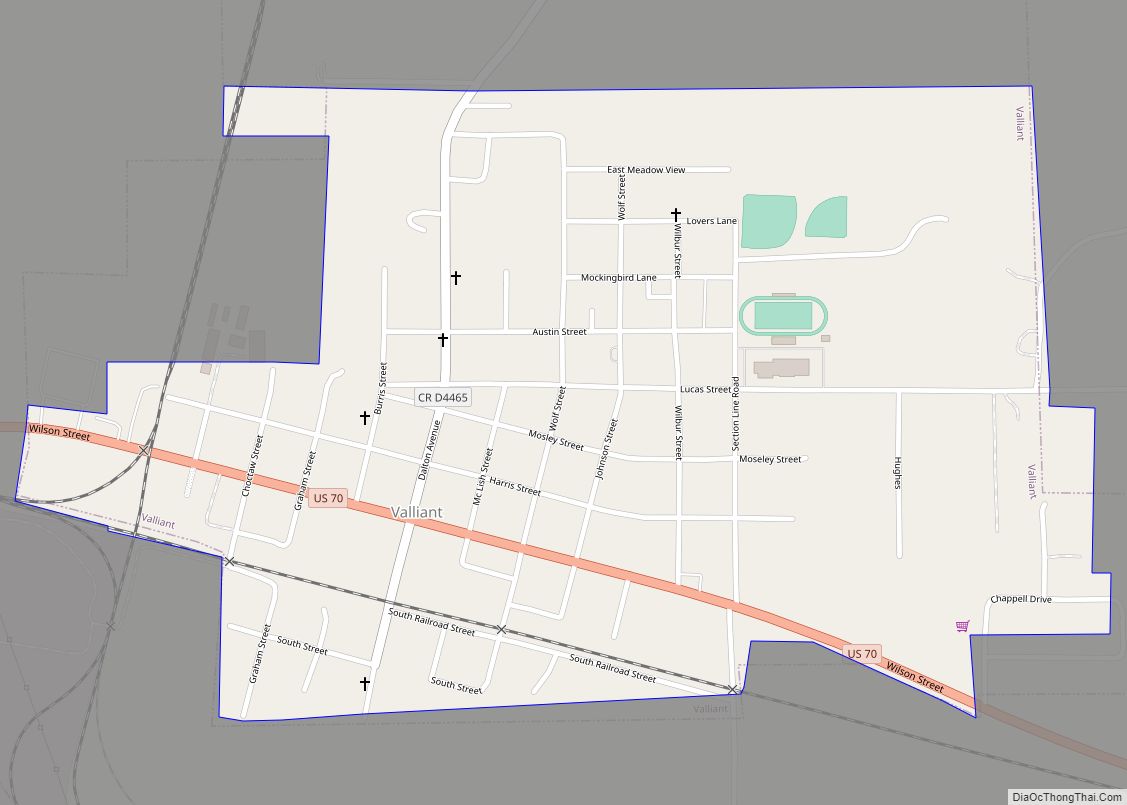
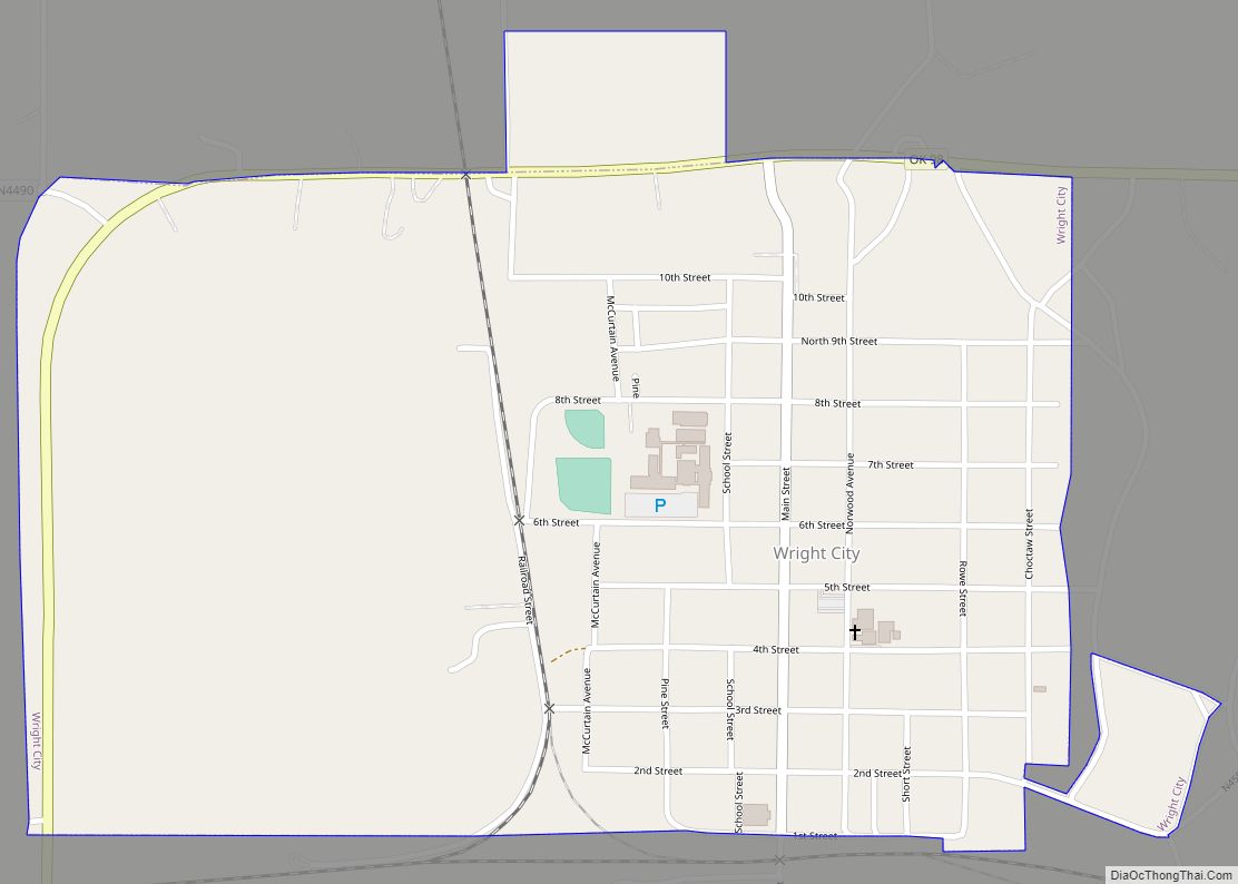
Online Interactive Map
Click on ![]() to view map in "full screen" mode.
to view map in "full screen" mode.
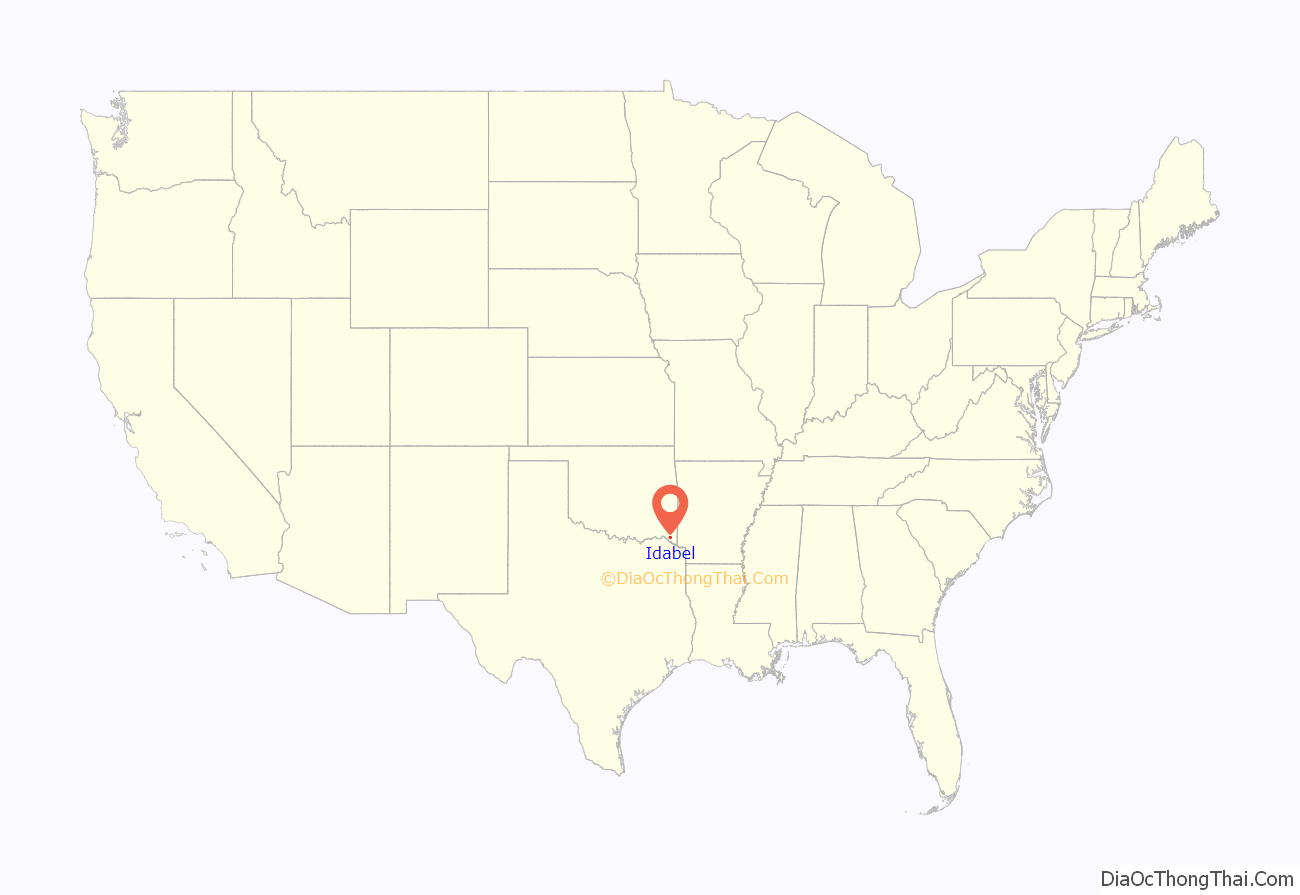
Idabel location map. Where is Idabel city?
History
Idabel was established in 1902 by the Arkansas and Choctaw Railway (later part of the St. Louis and San Francisco Railway, the line now being operated by the Kiamichi Railroad). The city was first named Purnell, after Isaac Purnell, a railroad official. When postal officials rejected that designation, the name was changed to Mitchell, honoring another railroad company officer. Postal officials also rejected because another post office of that name existed elsewhere in the territory. They named the post office Bokhoma (a Choctaw word meaning Red River), which opened December 15, 1902. Railroad officials then chose the name Idabel, a compound of the names of Isaac Purnell’s two daughters, Ida and Bell. The post office was then renamed Idabel.
At the time of its founding, Idabel was located in Bok Tuklo County, a part of the Apukshunubbee District of the Choctaw Nation.
For its first four years, Idabel local government was the responsibility of the Choctaw tribe for the Indians themselves. The national government was responsible for enforcing the law among non-Choctaws. In 1906, the citizens elected their first mayor and established a mayor-council form of government. At the time of statehood, November 16, 1907, the town was designated as the county seat of McCurtain County. A census in that year reported 726 residents. By 1910, the population had grown to 1,493. In 1920, there were 3,617 residents, but the number fell to 2,581 in 1930. Growth resumed by the end of the Great Depression in the late 1930s. The death of Henry Lee Johnson in 1980 resulted in a riot in the town that killed two.
Idabel residents elected their first African American mayor in April 2019, mayor Craig Young.
2022 tornado
On November 4, 2022, Idabel was hit by a destructive EF4 tornado. The tornado warranted a tornado emergency and was at EF3 strength when it struck the city. It caused heavy damage, mainly to the southeast portion of the city.
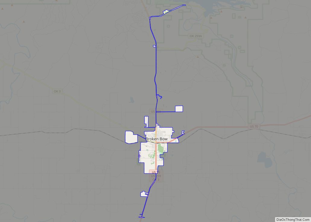
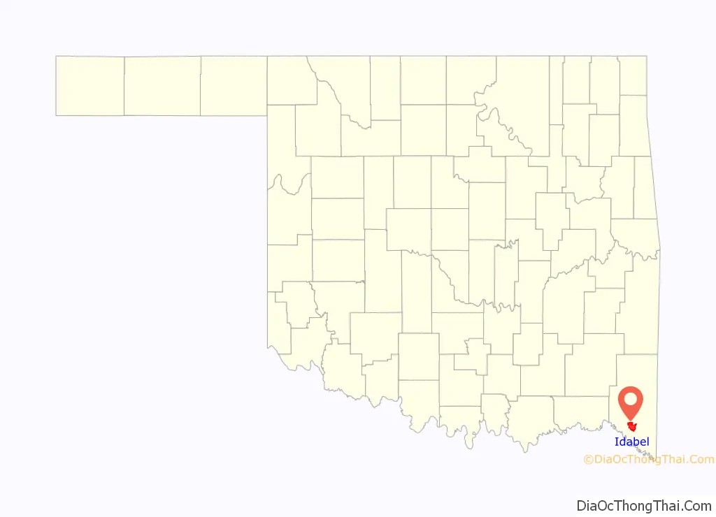
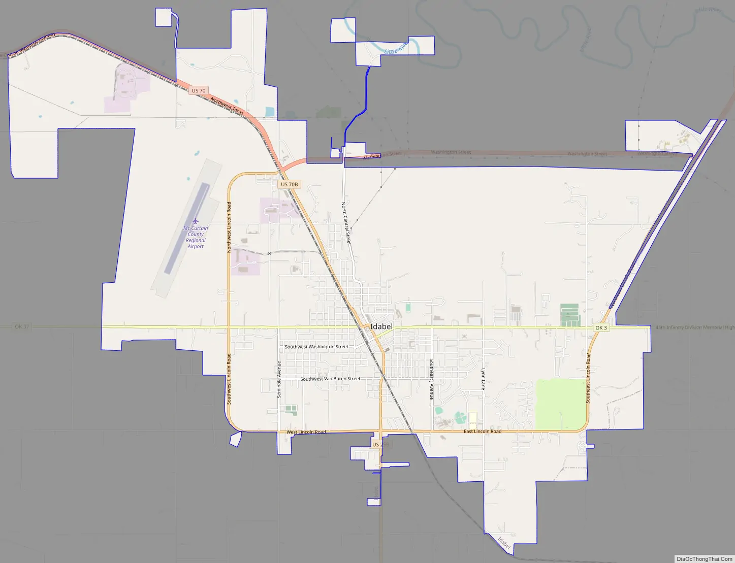
Idabel Road Map
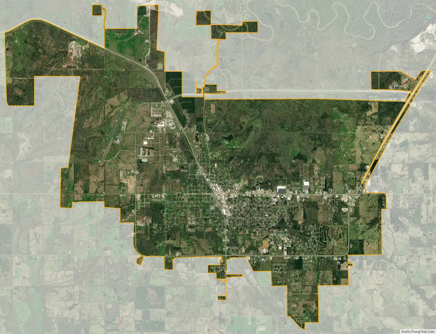
Idabel city Satellite Map
Geography
Idabel lies between the Little River and the Red River, approximately 21 miles (34 km) west of the Oklahoma-Arkansas state line and 40 miles (64 km) east of Hugo.
According to the United States Census Bureau, the city has a total area of 15.9 square miles (41 km), of which 15.9 square miles (41 km) is land and 0.06% is water.
See also
Map of Oklahoma State and its subdivision:- Adair
- Alfalfa
- Atoka
- Beaver
- Beckham
- Blaine
- Bryan
- Caddo
- Canadian
- Carter
- Cherokee
- Choctaw
- Cimarron
- Cleveland
- Coal
- Comanche
- Cotton
- Craig
- Creek
- Custer
- Delaware
- Dewey
- Ellis
- Garfield
- Garvin
- Grady
- Grant
- Greer
- Harmon
- Harper
- Haskell
- Hughes
- Jackson
- Jefferson
- Johnston
- Kay
- Kingfisher
- Kiowa
- Latimer
- Le Flore
- Lincoln
- Logan
- Love
- Major
- Marshall
- Mayes
- McClain
- McCurtain
- McIntosh
- Murray
- Muskogee
- Noble
- Nowata
- Okfuskee
- Oklahoma
- Okmulgee
- Osage
- Ottawa
- Pawnee
- Payne
- Pittsburg
- Pontotoc
- Pottawatomie
- Pushmataha
- Roger Mills
- Rogers
- Seminole
- Sequoyah
- Stephens
- Texas
- Tillman
- Tulsa
- Wagoner
- Washington
- Washita
- Woods
- Woodward
- Alabama
- Alaska
- Arizona
- Arkansas
- California
- Colorado
- Connecticut
- Delaware
- District of Columbia
- Florida
- Georgia
- Hawaii
- Idaho
- Illinois
- Indiana
- Iowa
- Kansas
- Kentucky
- Louisiana
- Maine
- Maryland
- Massachusetts
- Michigan
- Minnesota
- Mississippi
- Missouri
- Montana
- Nebraska
- Nevada
- New Hampshire
- New Jersey
- New Mexico
- New York
- North Carolina
- North Dakota
- Ohio
- Oklahoma
- Oregon
- Pennsylvania
- Rhode Island
- South Carolina
- South Dakota
- Tennessee
- Texas
- Utah
- Vermont
- Virginia
- Washington
- West Virginia
- Wisconsin
- Wyoming