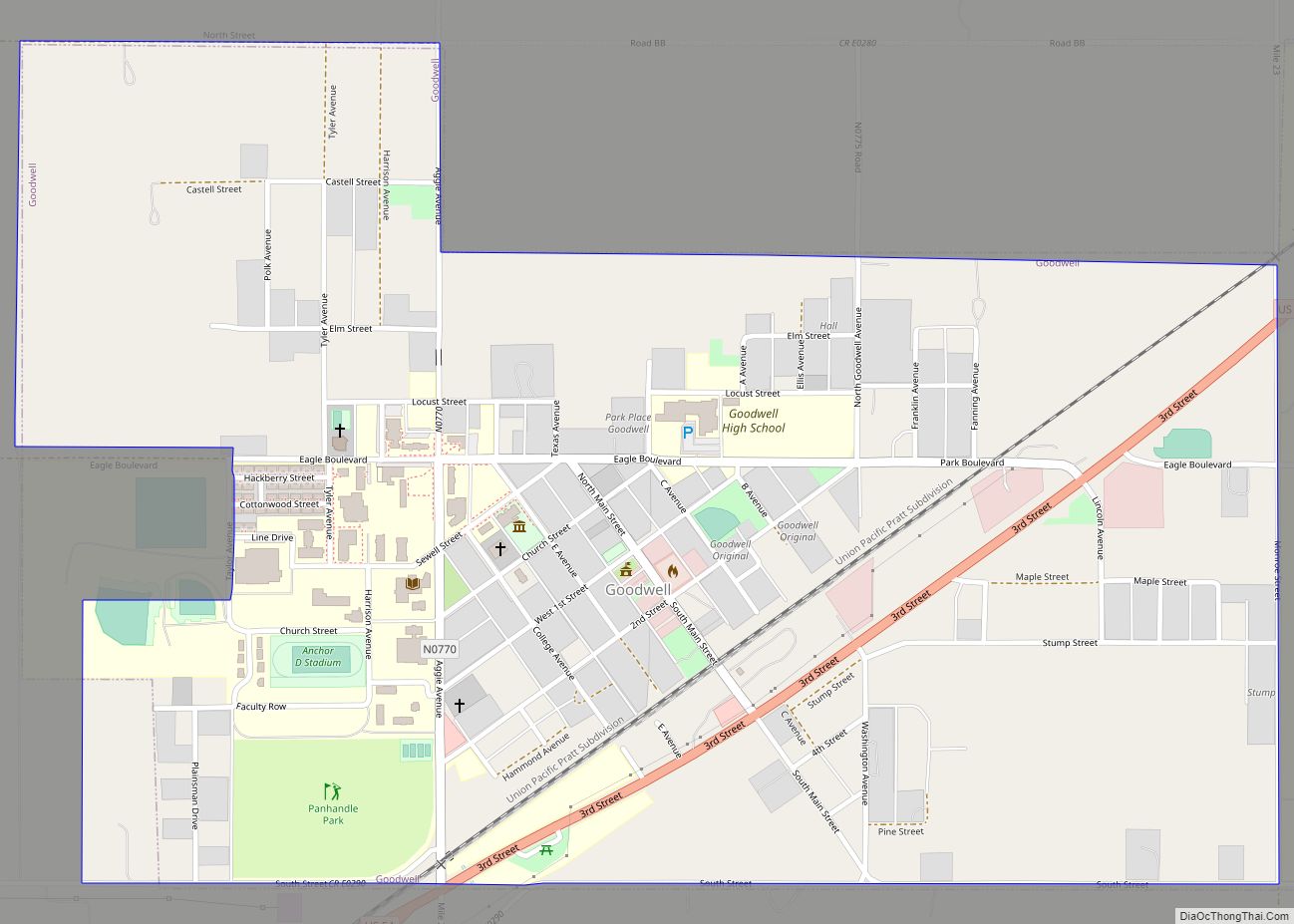
Goodwell is a town in Texas County, Oklahoma, United States. The population was 1,293 at the 2010 census. Goodwell is home to Oklahoma Panhandle State University.
| Name: | Goodwell town |
|---|---|
| LSAD Code: | 43 |
| LSAD Description: | town (suffix) |
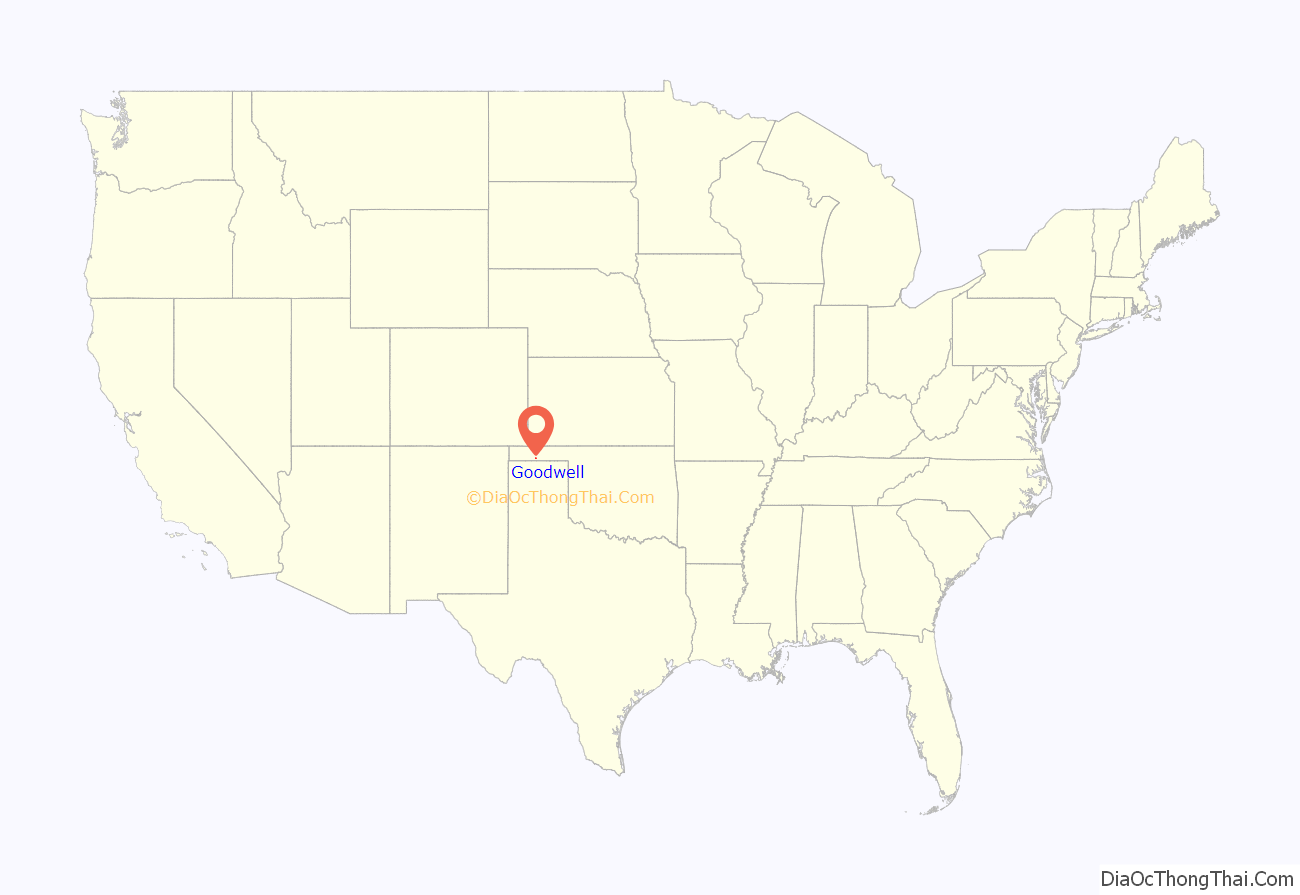
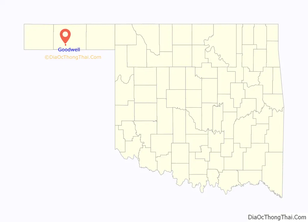
| State: | Oklahoma |
| County: | Texas County |
| Elevation: | 3,304 ft (1,007 m) |
| Total Area: | 2.22 sq mi (5.75 km²) |
| Land Area: | 2.20 sq mi (5.69 km²) |
| Water Area: | 0.02 sq mi (0.06 km²) |
| Total Population: | 951 |
| Population Density: | 432.86/sq mi (167.10/km²) |
| ZIP code: | 73939 |
| Area code: | 580 |
| FIPS code: | 4030200 |
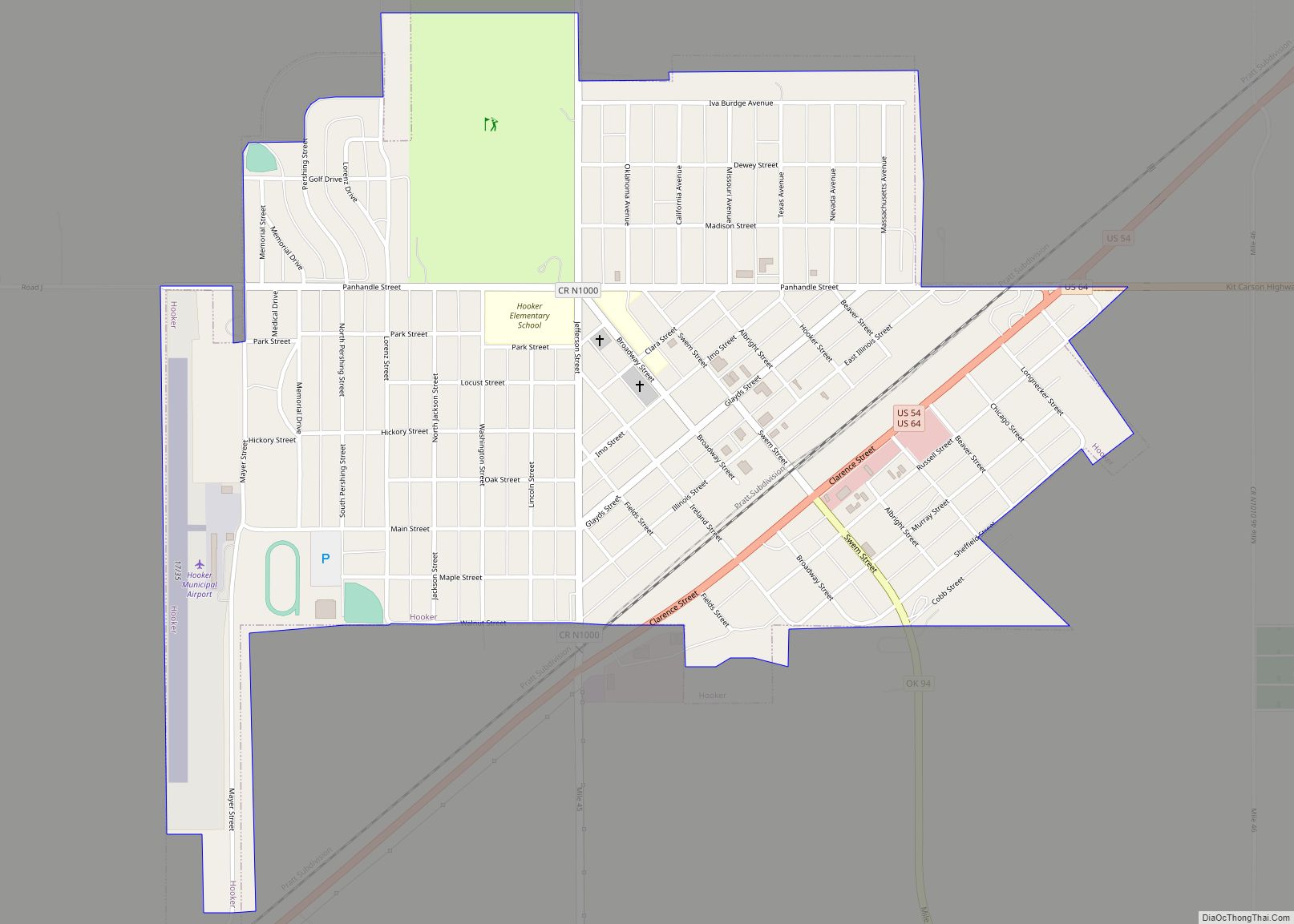
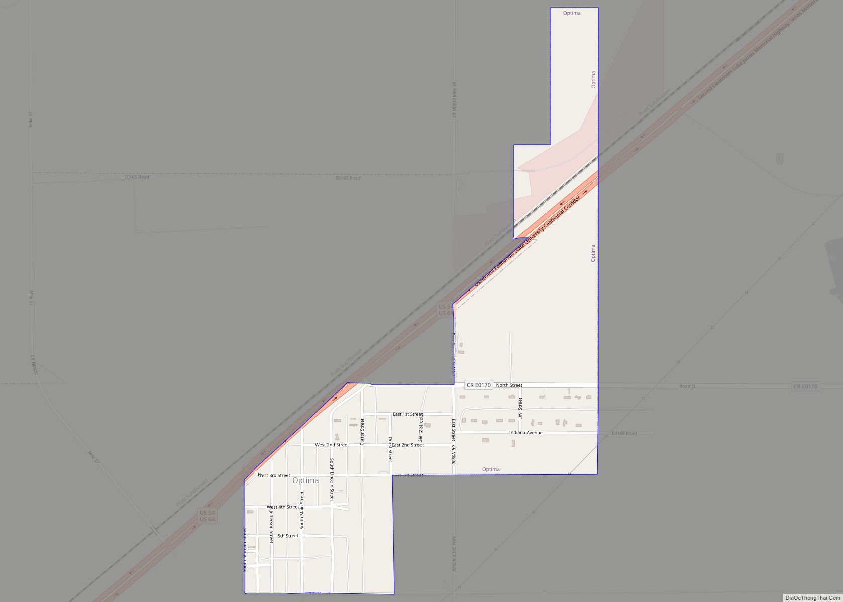
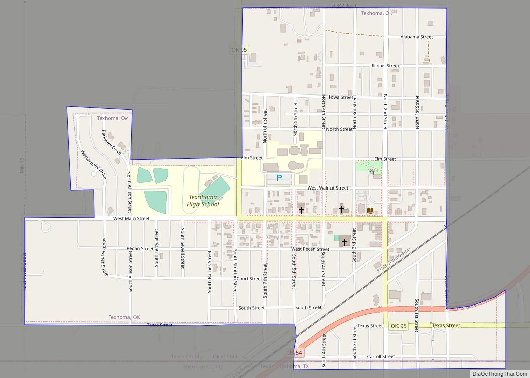
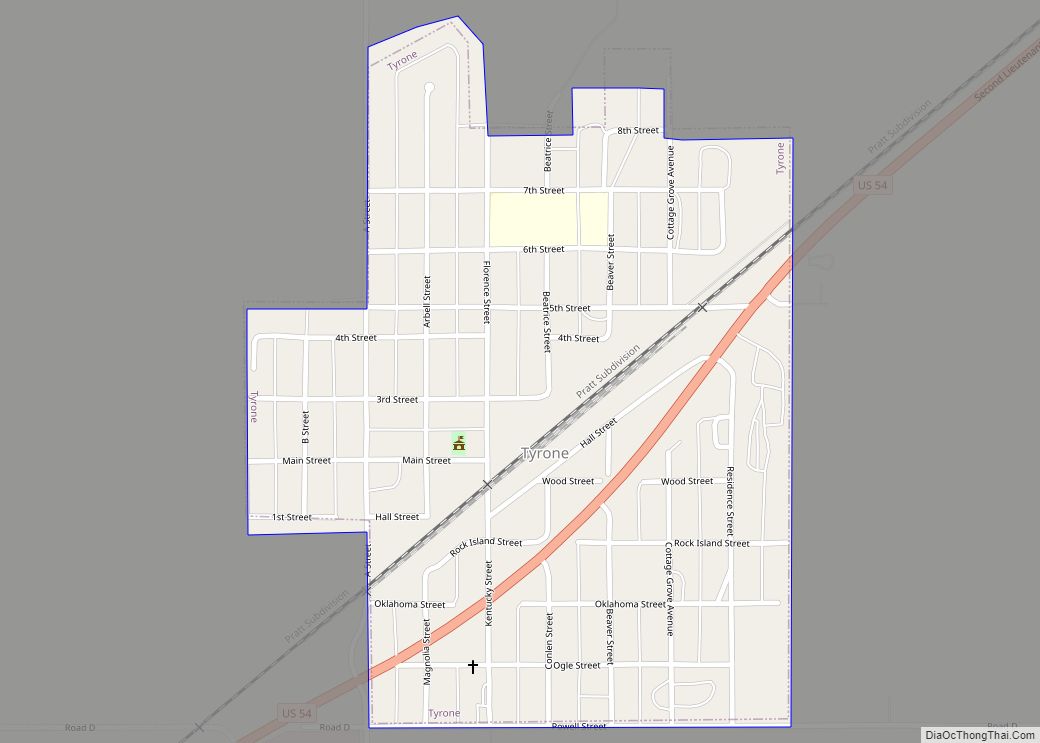
Online Interactive Map
Click on ![]() to view map in "full screen" mode.
to view map in "full screen" mode.
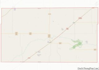
Goodwell location map. Where is Goodwell town?
History
In 1901, Goodwell was established as a switch along the Chicago and Rock Island Railroad. The switch was named Goodwell because a “good well” was found there. In 1903, Goodwell was established and celebrated its centennial in 2003.
In 1909, the Pan-Handle Agricultural Institute was established in Goodwell. Its name was changed to Panhandle Agricultural and Mechanical College (PAMC) in 1921, then to Oklahoma Panhandle State College of Agriculture and Applied Science in 1967, then to its current name of Oklahoma Panhandle State University in 1974.
The No Man’s Land Museum was established in 1932 as a project of the science department at Panhandle Agricultural and Mechanical College. In 1933, the No Man’s Land Historical Society was established and took control of the museum.
On June 24, 2012, two Union Pacific trains collided head-on and caught on fire about 1 mile (1.6 km) east of Goodwell. Three Union Pacific employees on the two trains died. One survivor of the crash escaped injury by leaping from the train when he saw a crash was imminent.
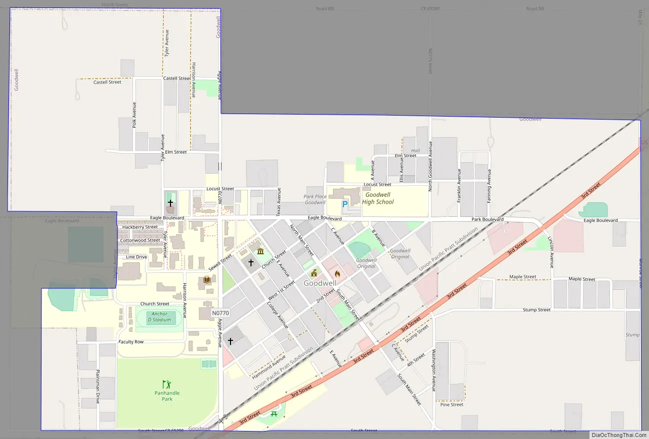
Goodwell Road Map
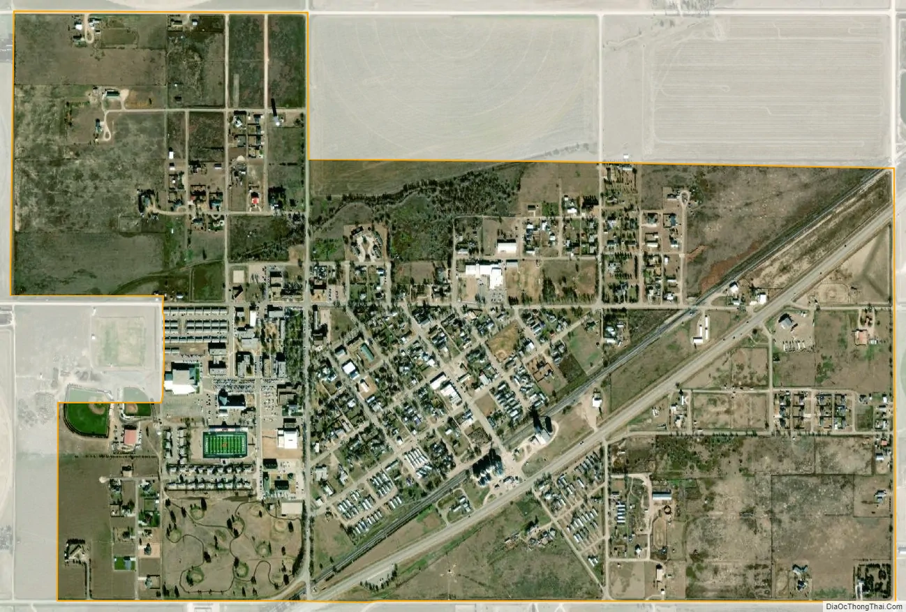
Goodwell city Satellite Map
Geography
Goodwell is located at 36°35′36″N 101°37′47″W / 36.5933°N 101.6297°W / 36.5933; -101.6297. According to the United States Census Bureau, the town has a total area of 1.2 square miles (3.1 km), all land.
Climate
According to the Köppen Climate Classification system, Goodwell has a cold semi-arid climate, abbreviated “BSk” on climate maps. The hottest temperature recorded in Goodwell was 112 °F (44.4 °C) on June 27, 2011, while the coldest temperature recorded was −22 °F (−30.0 °C) on January 4, 1959.
See also
Map of Oklahoma State and its subdivision:- Adair
- Alfalfa
- Atoka
- Beaver
- Beckham
- Blaine
- Bryan
- Caddo
- Canadian
- Carter
- Cherokee
- Choctaw
- Cimarron
- Cleveland
- Coal
- Comanche
- Cotton
- Craig
- Creek
- Custer
- Delaware
- Dewey
- Ellis
- Garfield
- Garvin
- Grady
- Grant
- Greer
- Harmon
- Harper
- Haskell
- Hughes
- Jackson
- Jefferson
- Johnston
- Kay
- Kingfisher
- Kiowa
- Latimer
- Le Flore
- Lincoln
- Logan
- Love
- Major
- Marshall
- Mayes
- McClain
- McCurtain
- McIntosh
- Murray
- Muskogee
- Noble
- Nowata
- Okfuskee
- Oklahoma
- Okmulgee
- Osage
- Ottawa
- Pawnee
- Payne
- Pittsburg
- Pontotoc
- Pottawatomie
- Pushmataha
- Roger Mills
- Rogers
- Seminole
- Sequoyah
- Stephens
- Texas
- Tillman
- Tulsa
- Wagoner
- Washington
- Washita
- Woods
- Woodward
- Alabama
- Alaska
- Arizona
- Arkansas
- California
- Colorado
- Connecticut
- Delaware
- District of Columbia
- Florida
- Georgia
- Hawaii
- Idaho
- Illinois
- Indiana
- Iowa
- Kansas
- Kentucky
- Louisiana
- Maine
- Maryland
- Massachusetts
- Michigan
- Minnesota
- Mississippi
- Missouri
- Montana
- Nebraska
- Nevada
- New Hampshire
- New Jersey
- New Mexico
- New York
- North Carolina
- North Dakota
- Ohio
- Oklahoma
- Oregon
- Pennsylvania
- Rhode Island
- South Carolina
- South Dakota
- Tennessee
- Texas
- Utah
- Vermont
- Virginia
- Washington
- West Virginia
- Wisconsin
- Wyoming