Granite is a town in Greer County, Oklahoma, United States. The population was 1,628 at the 2020 census.
| Name: | Granite town |
|---|---|
| LSAD Code: | 43 |
| LSAD Description: | town (suffix) |
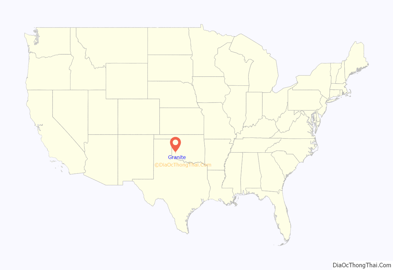
| State: | Oklahoma |
| County: | Greer County |
| Elevation: | 1,611 ft (491 m) |
| Total Area: | 3.39 sq mi (8.77 km²) |
| Land Area: | 3.37 sq mi (8.73 km²) |
| Water Area: | 0.01 sq mi (0.04 km²) |
| Total Population: | 1,628 |
| Population Density: | 482.94/sq mi (186.44/km²) |
| ZIP code: | 73547 |
| Area code: | 580 |
| FIPS code: | 4030950 |
| GNISfeature ID: | 1093311 |
Online Interactive Map
Click on ![]() to view map in "full screen" mode.
to view map in "full screen" mode.
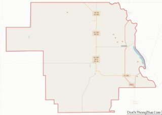
Granite location map. Where is Granite town?

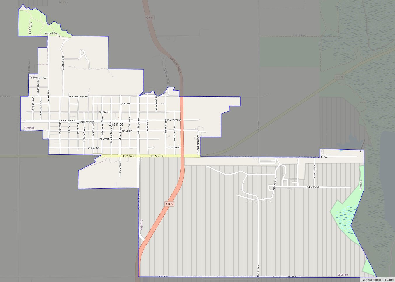
Granite Road Map
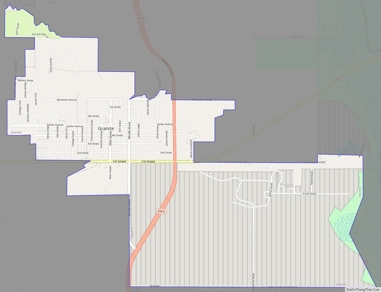
Granite city Satellite Map

Geography
Granite is located in eastern Greer County at 34°57′45″N 99°22′53″W / 34.96250°N 99.38139°W / 34.96250; -99.38139 (34.962367, -99.381356). State Highways 6 and 9 intersect at the southern end of town; Highway 6 leads north 32 miles (51 km) to Elk City and south 23 miles (37 km) to Altus, while Highway 9 leads east 17 miles (27 km) to Hobart and west then south 13 miles (21 km) to Mangum.
Lake Altus on the North Fork Red River is 2 miles (3 km) east of the center of town. Headquarters Mountain, elevation 1,980 feet (600 m), rises 350 feet (110 m) directly above the north side of town.
According to the United States Census Bureau, the town has a total area of 3.2 square miles (8.4 km), all land.
See also
Map of Oklahoma State and its subdivision:- Adair
- Alfalfa
- Atoka
- Beaver
- Beckham
- Blaine
- Bryan
- Caddo
- Canadian
- Carter
- Cherokee
- Choctaw
- Cimarron
- Cleveland
- Coal
- Comanche
- Cotton
- Craig
- Creek
- Custer
- Delaware
- Dewey
- Ellis
- Garfield
- Garvin
- Grady
- Grant
- Greer
- Harmon
- Harper
- Haskell
- Hughes
- Jackson
- Jefferson
- Johnston
- Kay
- Kingfisher
- Kiowa
- Latimer
- Le Flore
- Lincoln
- Logan
- Love
- Major
- Marshall
- Mayes
- McClain
- McCurtain
- McIntosh
- Murray
- Muskogee
- Noble
- Nowata
- Okfuskee
- Oklahoma
- Okmulgee
- Osage
- Ottawa
- Pawnee
- Payne
- Pittsburg
- Pontotoc
- Pottawatomie
- Pushmataha
- Roger Mills
- Rogers
- Seminole
- Sequoyah
- Stephens
- Texas
- Tillman
- Tulsa
- Wagoner
- Washington
- Washita
- Woods
- Woodward
- Alabama
- Alaska
- Arizona
- Arkansas
- California
- Colorado
- Connecticut
- Delaware
- District of Columbia
- Florida
- Georgia
- Hawaii
- Idaho
- Illinois
- Indiana
- Iowa
- Kansas
- Kentucky
- Louisiana
- Maine
- Maryland
- Massachusetts
- Michigan
- Minnesota
- Mississippi
- Missouri
- Montana
- Nebraska
- Nevada
- New Hampshire
- New Jersey
- New Mexico
- New York
- North Carolina
- North Dakota
- Ohio
- Oklahoma
- Oregon
- Pennsylvania
- Rhode Island
- South Carolina
- South Dakota
- Tennessee
- Texas
- Utah
- Vermont
- Virginia
- Washington
- West Virginia
- Wisconsin
- Wyoming