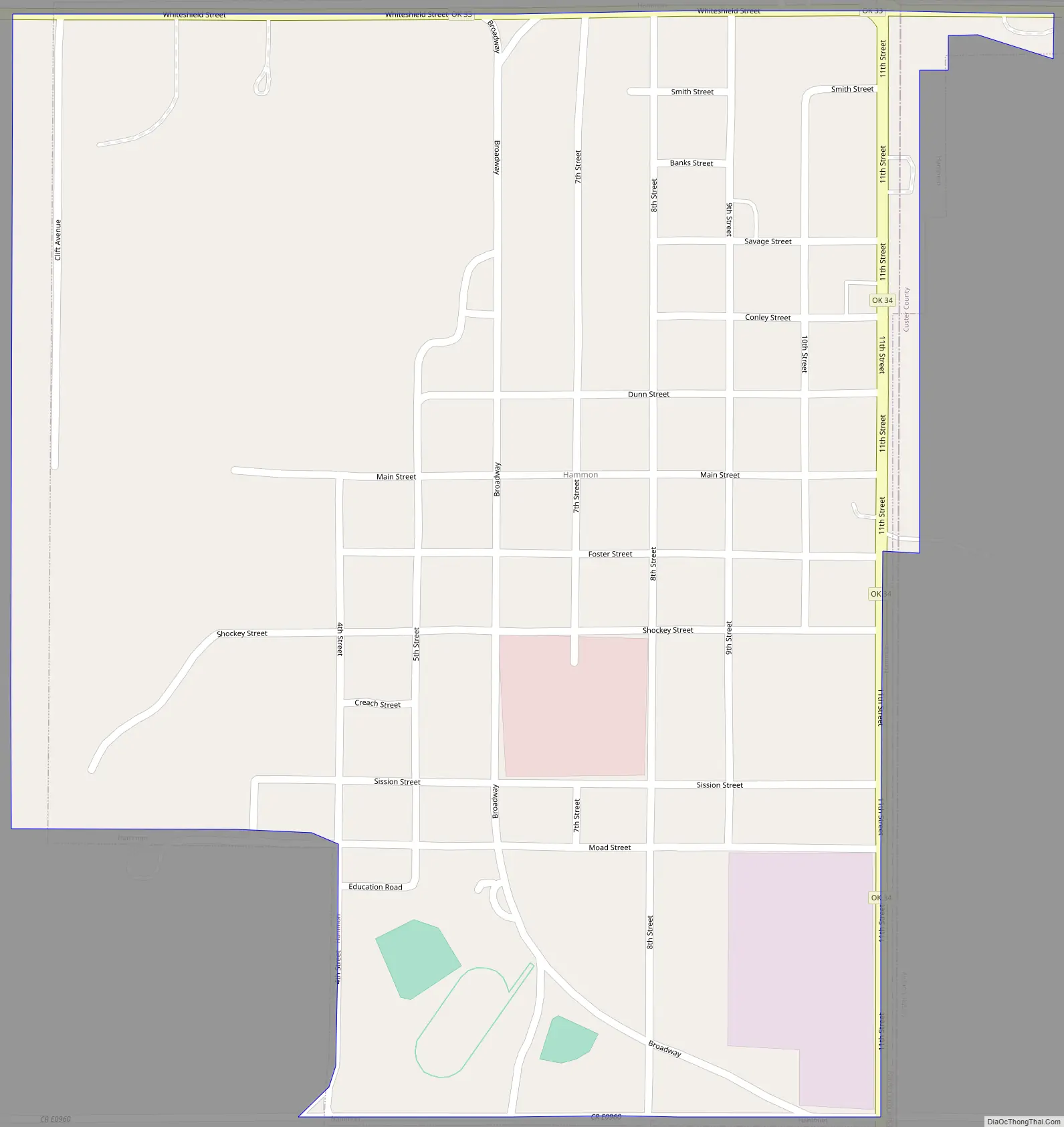
Hammon is a town in the U.S. state of Oklahoma, the majority of which is in Roger Mills County, but some of which extends into Custer County. It is located at the junction of Oklahoma State Highways 33 and 34.
The town is named for Indian agent James H. Hammon, who was assigned to the Red Moon Agency near the future site of Hammon. This was a subagency of the Cheyenne-Arapaho Agency at Darlington, north of Fort Reno, and his mission was to build a reservation school and to teach the Cheyenne and Arapaho to farm. His wife, Ida M. Hammon, was postmaster when a post office was established in their home on June 30, 1894.
The townsite was originally located in Custer County, but when the Wichita Falls and Northwestern Railroad (later known as the Missouri, Kansas and Texas Railway) laid track west of the town in 1910, the majority of the town was moved west into Roger Mills County to be near the railroad. On May 22, 1911, the board of county commissioners accepted the incorporation of the town.
The population was 568 at the 2010 census.
| Name: | Hammon town |
|---|---|
| LSAD Code: | 43 |
| LSAD Description: | town (suffix) |
| State: | Oklahoma |
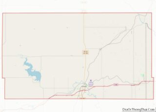
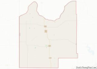
| County: | Custer County, Roger Mills County |
| Elevation: | 1,745 ft (532 m) |
| Total Area: | 0.73 sq mi (1.90 km²) |
| Land Area: | 0.73 sq mi (1.90 km²) |
| Water Area: | 0.00 sq mi (0.00 km²) |
| Total Population: | 479 |
| Population Density: | 654.37/sq mi (252.65/km²) |
| ZIP code: | 73650 |
| Area code: | 580 |
| FIPS code: | 4032250 |
| GNISfeature ID: | 1093499 |
Online Interactive Map
Click on ![]() to view map in "full screen" mode.
to view map in "full screen" mode.
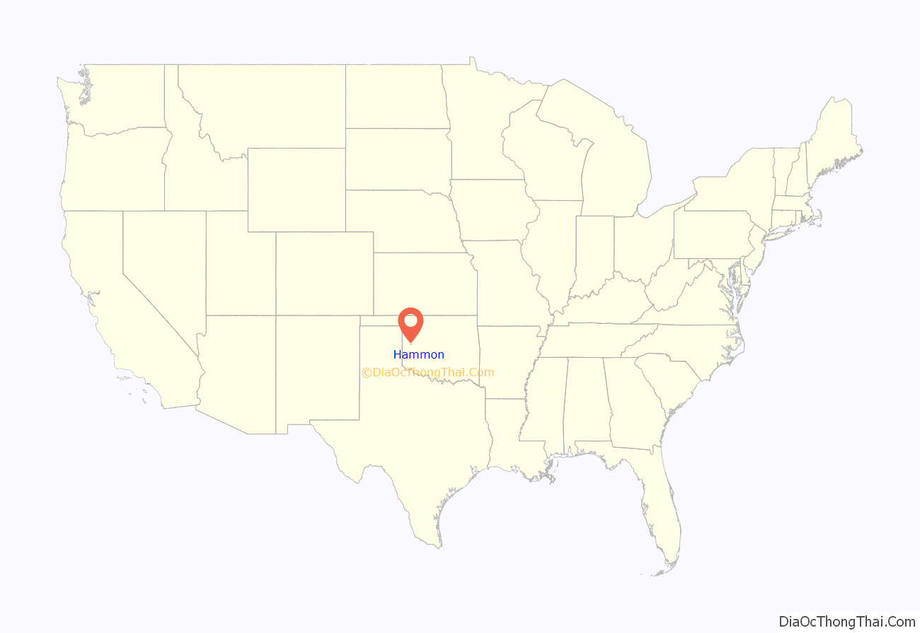
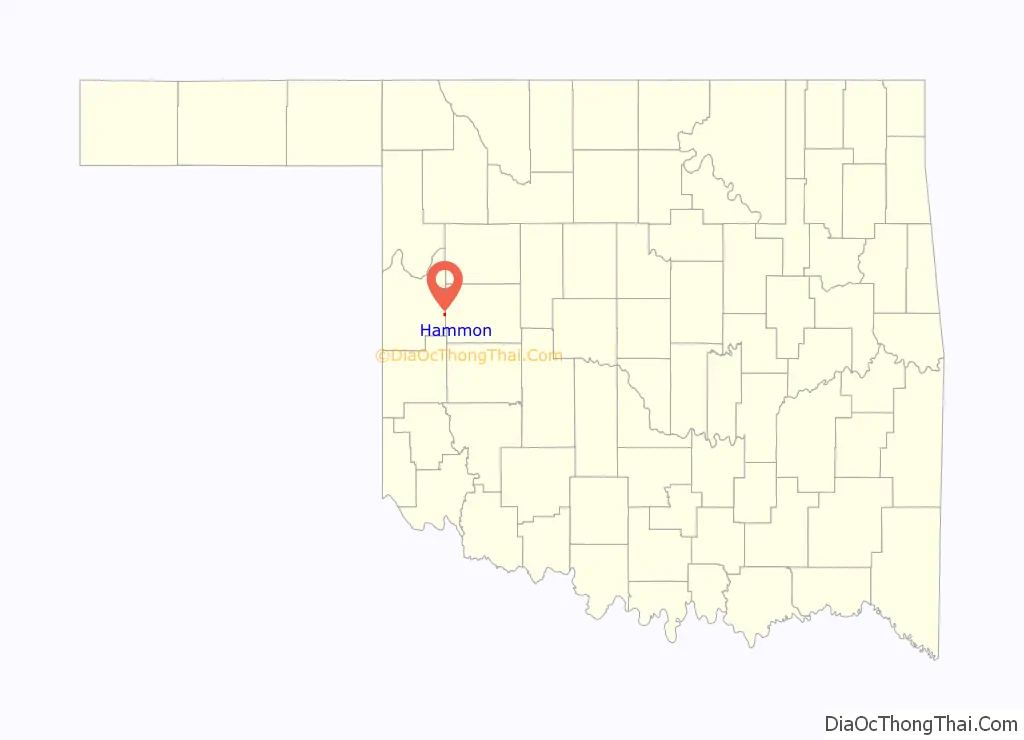
Hammon location map. Where is Hammon town?
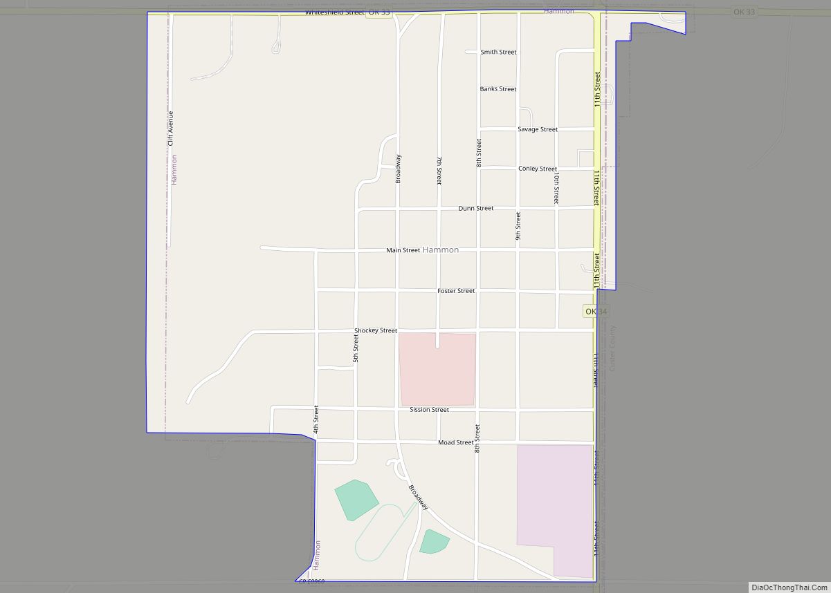
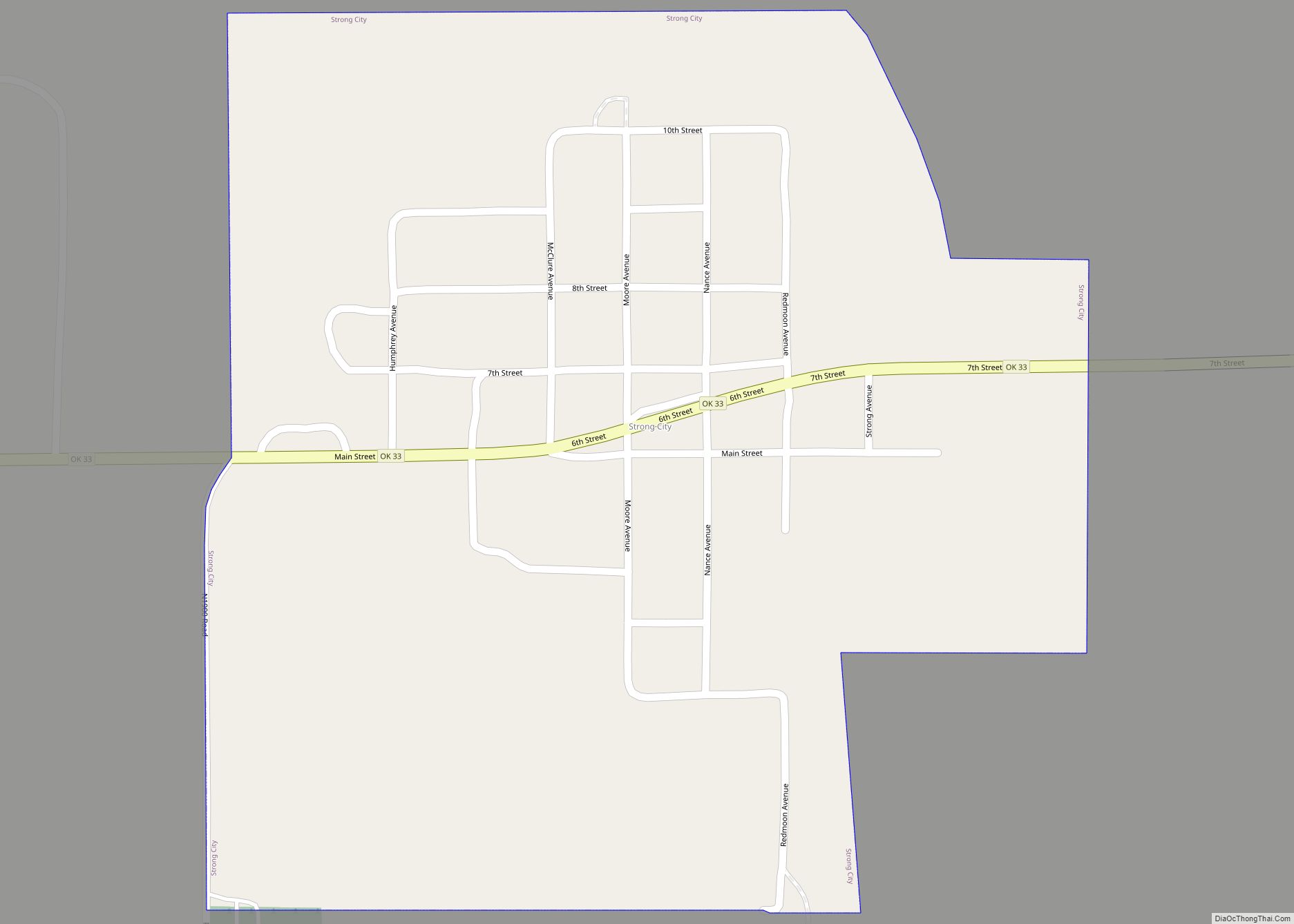
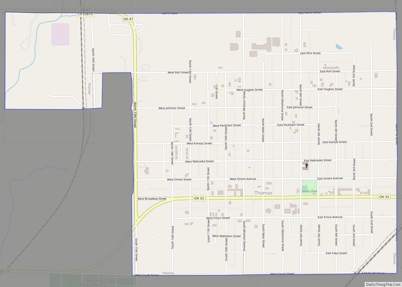
Hammon Road Map
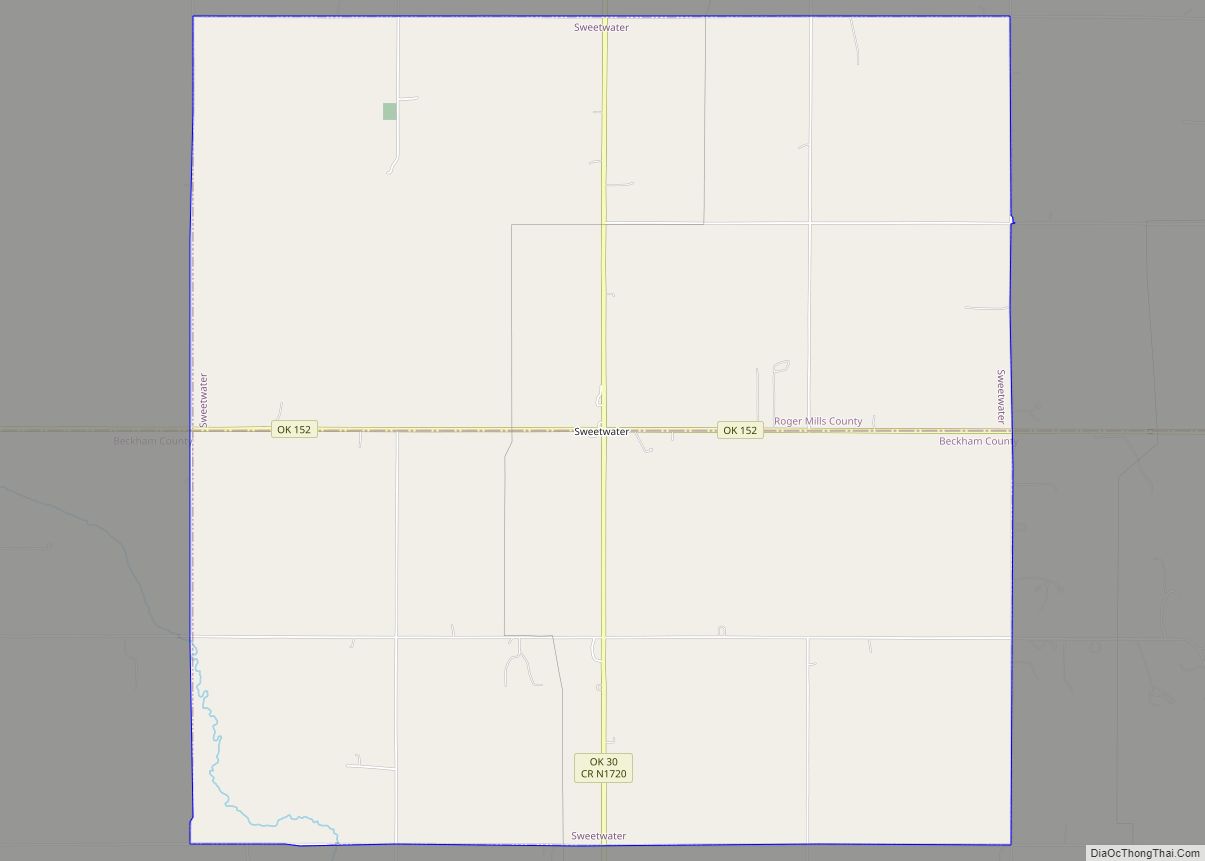
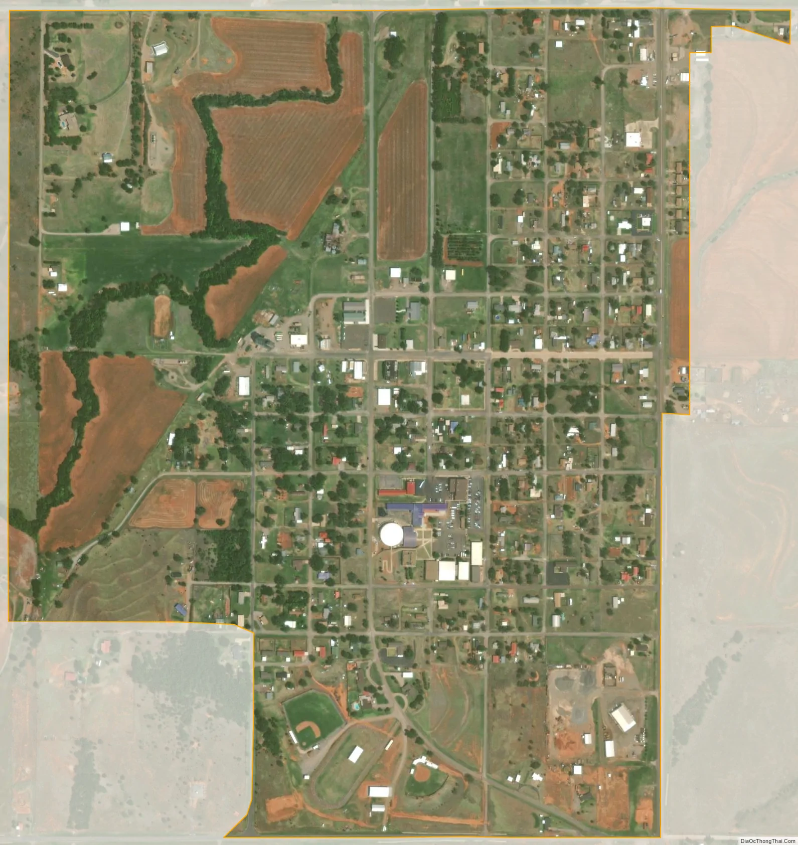
Hammon city Satellite Map
Geography
Hammon is located at 35°37′57″N 99°22′53″W / 35.63250°N 99.38139°W / 35.63250; -99.38139 (35.632369, −99.381267). According to the United States Census Bureau, the town has a total area of 0.7 square miles (1.9 km), all land.
Hammon is located southwest of the intersection of State Highway 33 and State Highway 34 in Southwestern Oklahoma, known for Oklahoma Tourism purposes as Great Plains Country. The town is just west of the Washita National Wildlife Refuge, and just east of the Black Kettle National Grassland.
Climate
See also
Map of Oklahoma State and its subdivision:- Adair
- Alfalfa
- Atoka
- Beaver
- Beckham
- Blaine
- Bryan
- Caddo
- Canadian
- Carter
- Cherokee
- Choctaw
- Cimarron
- Cleveland
- Coal
- Comanche
- Cotton
- Craig
- Creek
- Custer
- Delaware
- Dewey
- Ellis
- Garfield
- Garvin
- Grady
- Grant
- Greer
- Harmon
- Harper
- Haskell
- Hughes
- Jackson
- Jefferson
- Johnston
- Kay
- Kingfisher
- Kiowa
- Latimer
- Le Flore
- Lincoln
- Logan
- Love
- Major
- Marshall
- Mayes
- McClain
- McCurtain
- McIntosh
- Murray
- Muskogee
- Noble
- Nowata
- Okfuskee
- Oklahoma
- Okmulgee
- Osage
- Ottawa
- Pawnee
- Payne
- Pittsburg
- Pontotoc
- Pottawatomie
- Pushmataha
- Roger Mills
- Rogers
- Seminole
- Sequoyah
- Stephens
- Texas
- Tillman
- Tulsa
- Wagoner
- Washington
- Washita
- Woods
- Woodward
- Alabama
- Alaska
- Arizona
- Arkansas
- California
- Colorado
- Connecticut
- Delaware
- District of Columbia
- Florida
- Georgia
- Hawaii
- Idaho
- Illinois
- Indiana
- Iowa
- Kansas
- Kentucky
- Louisiana
- Maine
- Maryland
- Massachusetts
- Michigan
- Minnesota
- Mississippi
- Missouri
- Montana
- Nebraska
- Nevada
- New Hampshire
- New Jersey
- New Mexico
- New York
- North Carolina
- North Dakota
- Ohio
- Oklahoma
- Oregon
- Pennsylvania
- Rhode Island
- South Carolina
- South Dakota
- Tennessee
- Texas
- Utah
- Vermont
- Virginia
- Washington
- West Virginia
- Wisconsin
- Wyoming