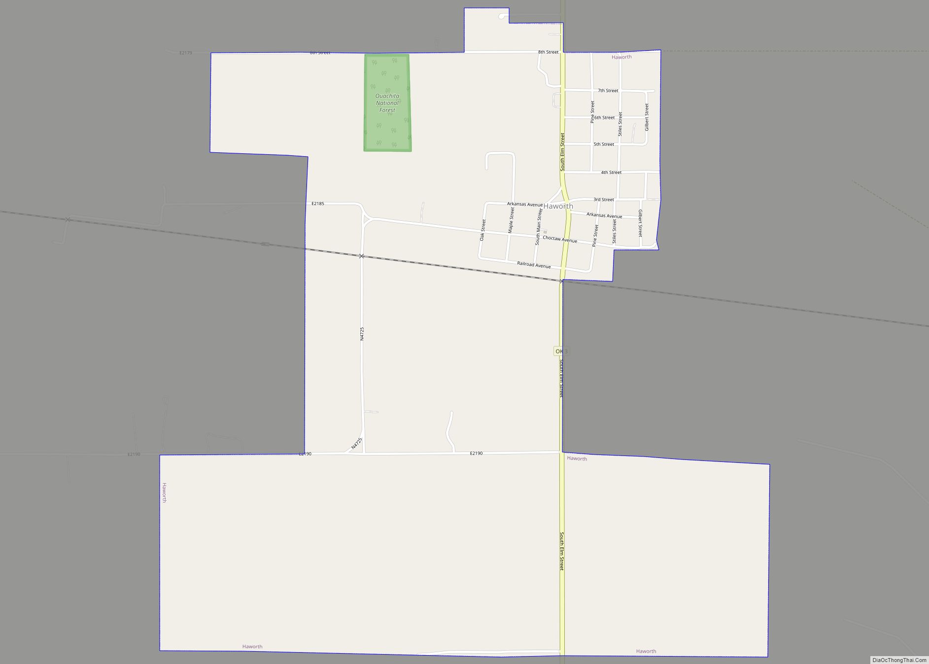
Haworth is a town in McCurtain County, Oklahoma, United States. The population was 297 at the 2010 census.
| Name: | Haworth town |
|---|---|
| LSAD Code: | 43 |
| LSAD Description: | town (suffix) |
| State: | Oklahoma |
| County: | McCurtain County |
| Elevation: | 400 ft (122 m) |
| Total Area: | 1.62 sq mi (4.19 km²) |
| Land Area: | 1.60 sq mi (4.15 km²) |
| Water Area: | 0.02 sq mi (0.05 km²) |
| Total Population: | 291 |
| Population Density: | 181.76/sq mi (70.18/km²) |
| ZIP code: | 74740 |
| Area code: | 580 |
| FIPS code: | 4033150 |
| GNISfeature ID: | 2412737 |
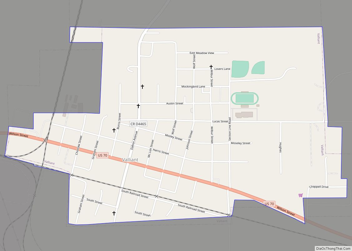
Online Interactive Map
Click on ![]() to view map in "full screen" mode.
to view map in "full screen" mode.
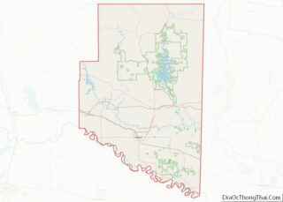
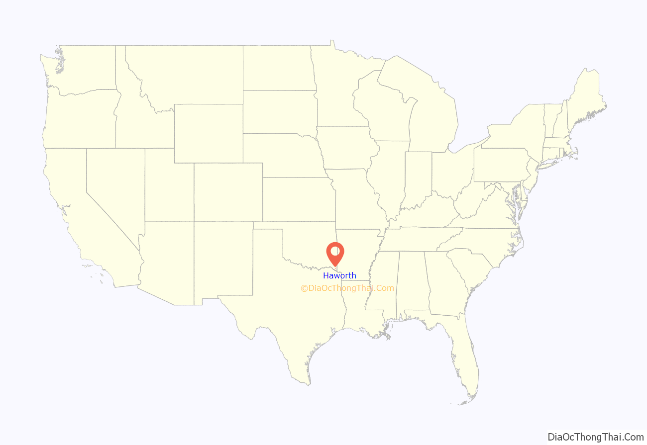
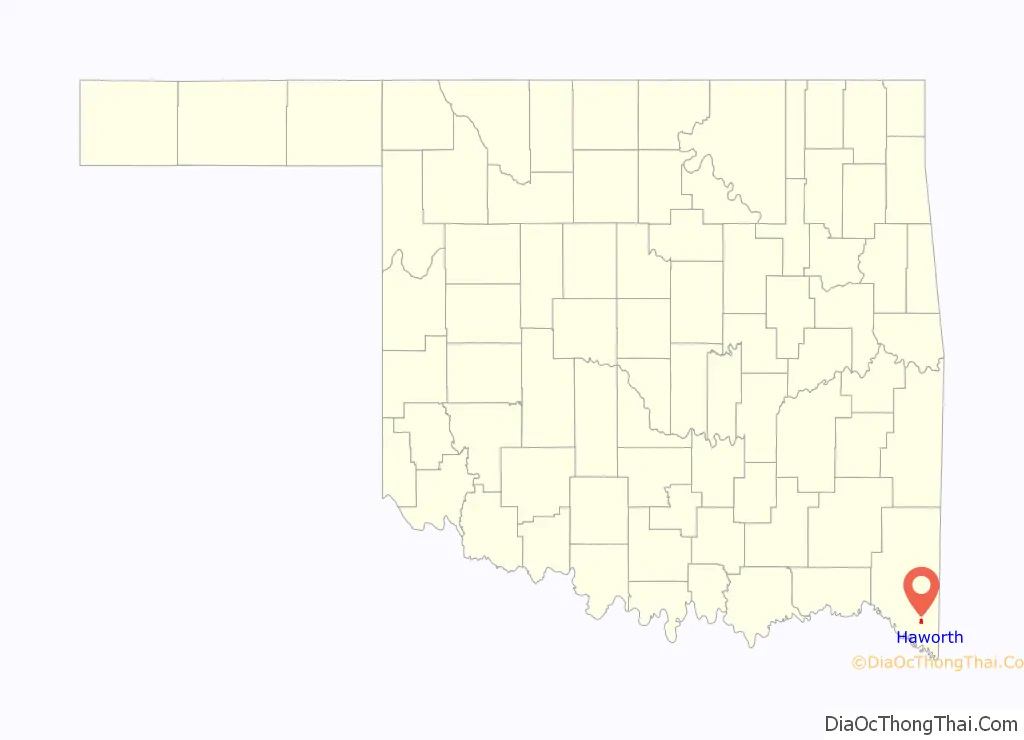
Haworth location map. Where is Haworth town?
History
At the time of its founding, Haworth was located in Red River County, a part of the Apukshunnubbee District of the Choctaw Nation.
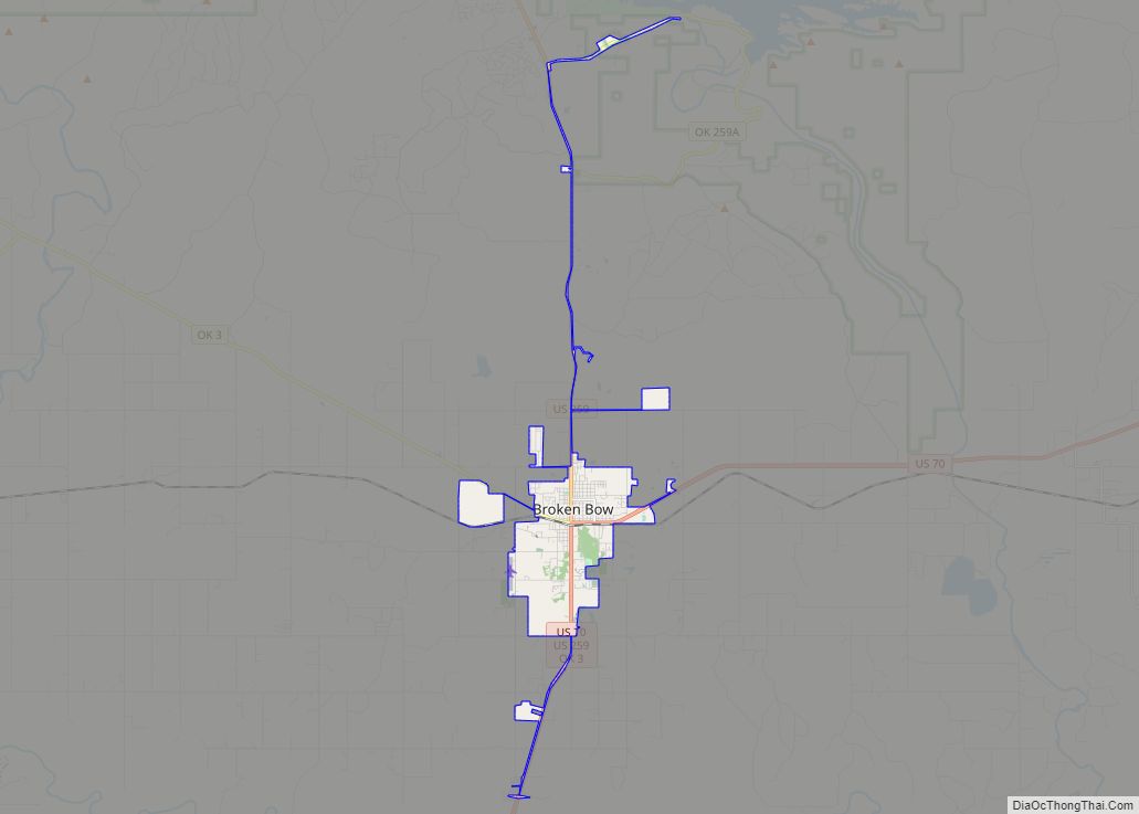
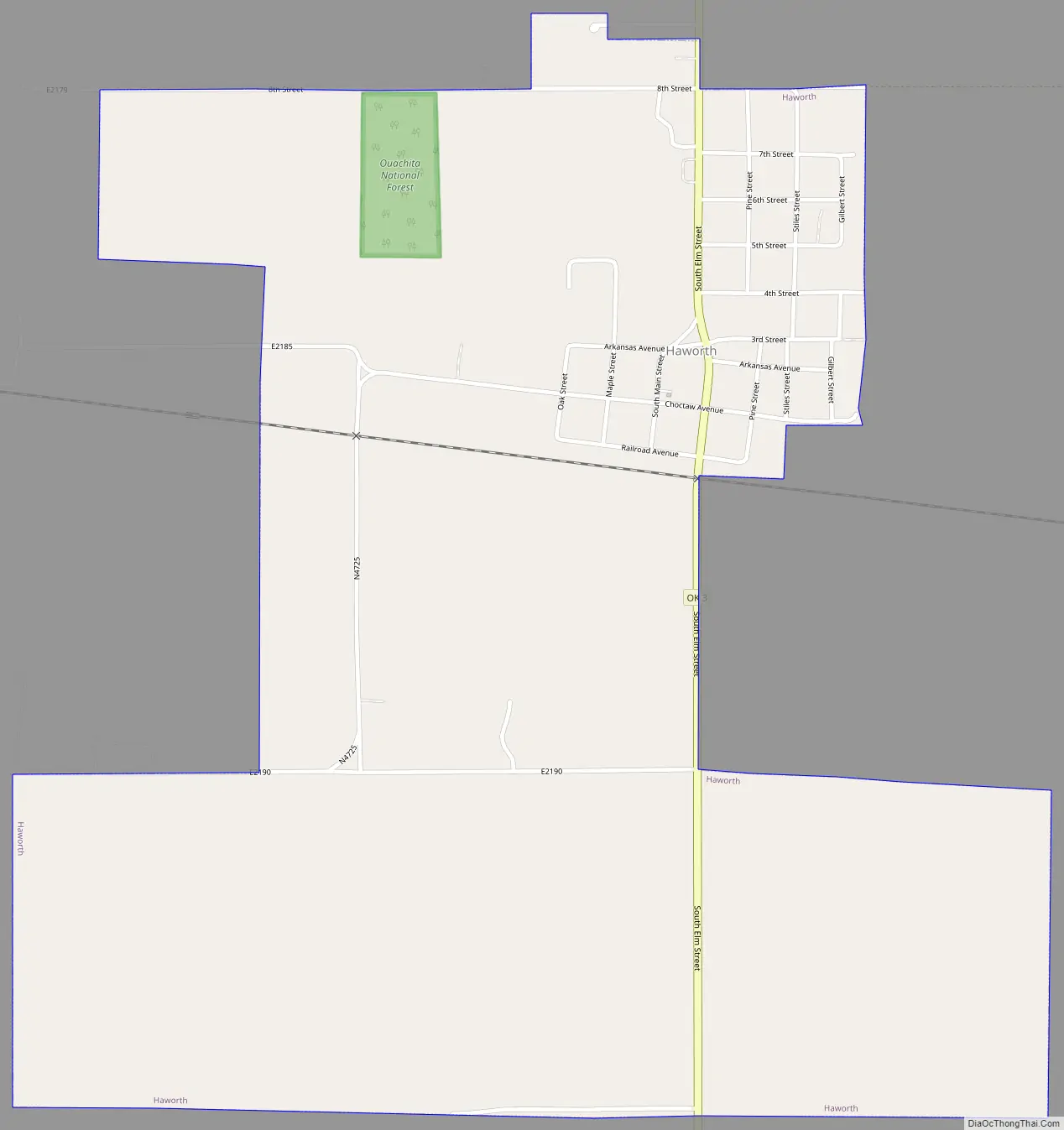
Haworth Road Map
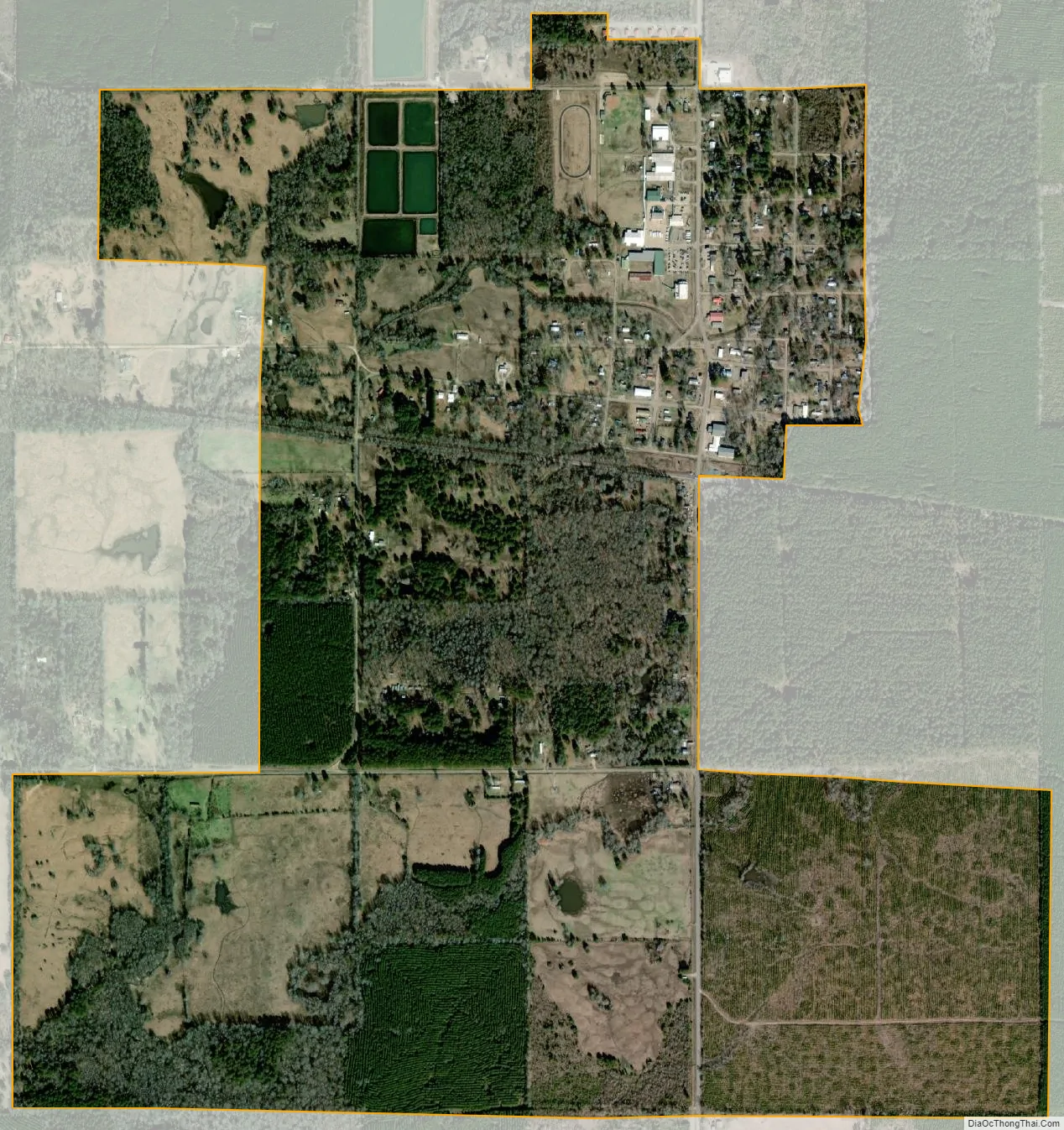
Haworth city Satellite Map
Geography
Haworth is located at 33°50′45″N 94°39′11″W / 33.84583°N 94.65306°W / 33.84583; -94.65306 (33.845946, -94.652926).
According to the United States Census Bureau, the town has a total area of 1.6 square miles (4.1 km), all land.
See also
Map of Oklahoma State and its subdivision:- Adair
- Alfalfa
- Atoka
- Beaver
- Beckham
- Blaine
- Bryan
- Caddo
- Canadian
- Carter
- Cherokee
- Choctaw
- Cimarron
- Cleveland
- Coal
- Comanche
- Cotton
- Craig
- Creek
- Custer
- Delaware
- Dewey
- Ellis
- Garfield
- Garvin
- Grady
- Grant
- Greer
- Harmon
- Harper
- Haskell
- Hughes
- Jackson
- Jefferson
- Johnston
- Kay
- Kingfisher
- Kiowa
- Latimer
- Le Flore
- Lincoln
- Logan
- Love
- Major
- Marshall
- Mayes
- McClain
- McCurtain
- McIntosh
- Murray
- Muskogee
- Noble
- Nowata
- Okfuskee
- Oklahoma
- Okmulgee
- Osage
- Ottawa
- Pawnee
- Payne
- Pittsburg
- Pontotoc
- Pottawatomie
- Pushmataha
- Roger Mills
- Rogers
- Seminole
- Sequoyah
- Stephens
- Texas
- Tillman
- Tulsa
- Wagoner
- Washington
- Washita
- Woods
- Woodward
- Alabama
- Alaska
- Arizona
- Arkansas
- California
- Colorado
- Connecticut
- Delaware
- District of Columbia
- Florida
- Georgia
- Hawaii
- Idaho
- Illinois
- Indiana
- Iowa
- Kansas
- Kentucky
- Louisiana
- Maine
- Maryland
- Massachusetts
- Michigan
- Minnesota
- Mississippi
- Missouri
- Montana
- Nebraska
- Nevada
- New Hampshire
- New Jersey
- New Mexico
- New York
- North Carolina
- North Dakota
- Ohio
- Oklahoma
- Oregon
- Pennsylvania
- Rhode Island
- South Carolina
- South Dakota
- Tennessee
- Texas
- Utah
- Vermont
- Virginia
- Washington
- West Virginia
- Wisconsin
- Wyoming