Howe is a town in Le Flore County, Oklahoma, United States. It is part of the Fort Smith, Arkansas-Oklahoma Metropolitan Statistical Area. The population was 802 at the 2010 census, a gain of 15.1 percent over the figure of 697 recorded in 2000. The town was once noted for producing coal and coke, but today is chiefly supported by agriculture.
| Name: | Howe town |
|---|---|
| LSAD Code: | 43 |
| LSAD Description: | town (suffix) |
| State: | Oklahoma |
| County: | Le Flore County |
| Elevation: | 489 ft (149 m) |
| Total Area: | 1.49 sq mi (3.85 km²) |
| Land Area: | 1.49 sq mi (3.85 km²) |
| Water Area: | 0.00 sq mi (0.00 km²) |
| Total Population: | 625 |
| Population Density: | 420.03/sq mi (162.23/km²) |
| ZIP code: | 74940 |
| Area code: | 539/918 |
| FIPS code: | 4036150 |
| GNISfeature ID: | 1093983 |
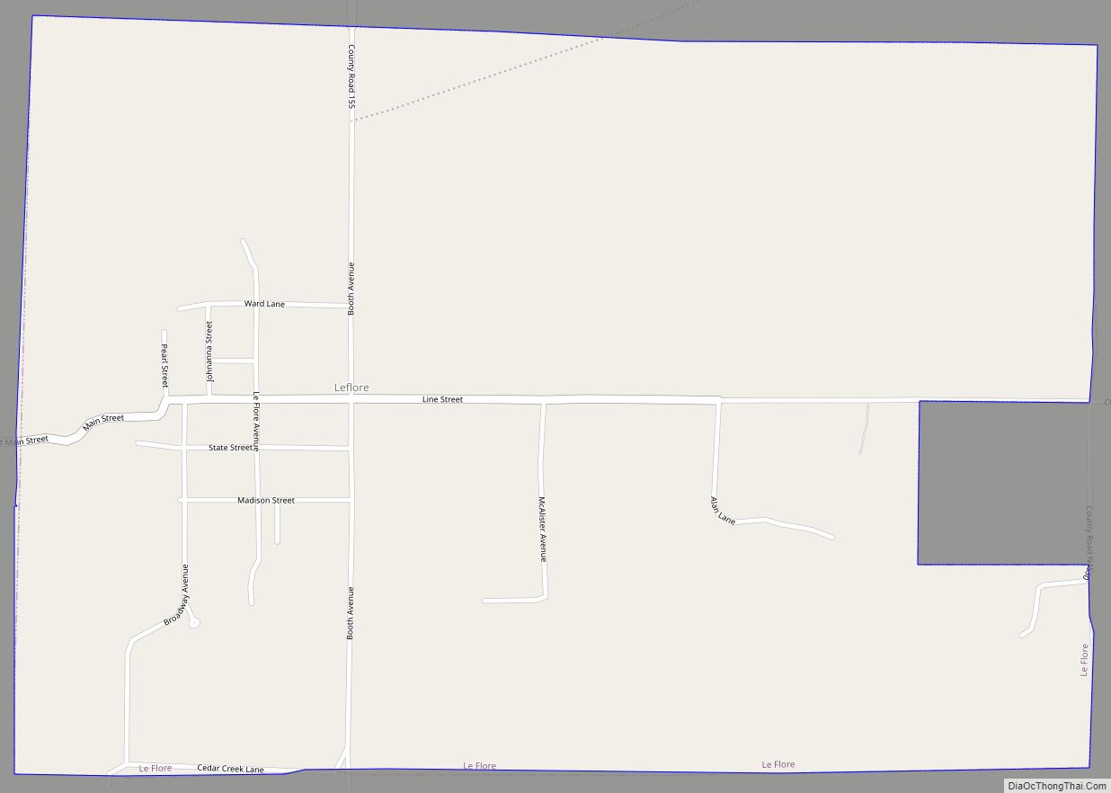
Online Interactive Map
Click on ![]() to view map in "full screen" mode.
to view map in "full screen" mode.
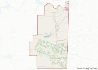
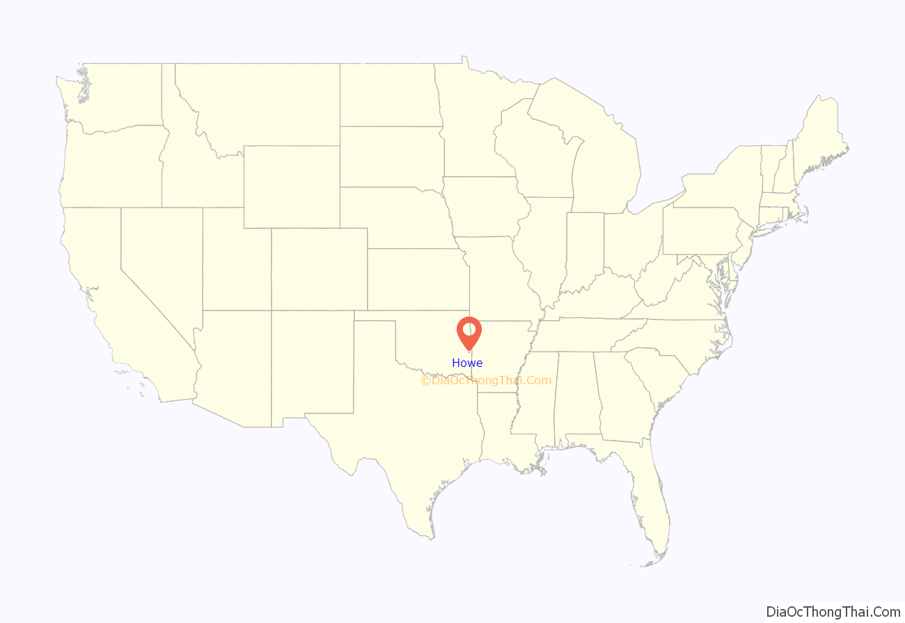
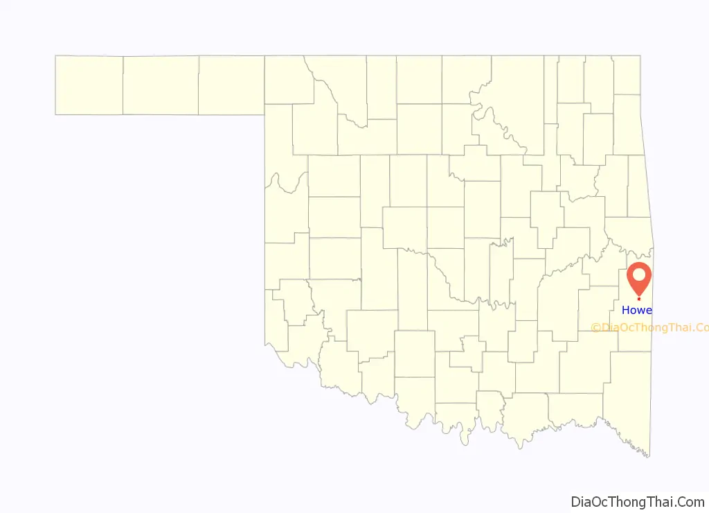
Howe location map. Where is Howe town?
History
This community was originally a Choctaw Nation town named Klondike. After the Kansas City, Pittsburgh and Gulf Railroad laid tracks through it in 1895-6, the residents renamed it for Dr. Herbert M. Howe, a railroad director. A post office opened at Howe, Indian Territory in 1898. The Kansas City Southern Railroad bought the Kansas City, Pittsburgh and Gulf Railroad in 1900.
At the time of its founding, the community was located in the Moshulatubbee District of the Choctaw Nation.
Howe contained 626 residents in 1900, but the number declined to 538 by the 1910 census. It had grown again to 711 in 1920. The population began a long-term decline from 692 in 1930, to 640 in 1940 and to 390 in 1960. The town had its own newspaper, the Howe Herald, four doctors, four drugstores, a bank, two hotels and two cotton gins.
In 1961, a tornado hit Howe and a neighboring village (Reichert).^ The source calls the village Reichter, but the actual name is apparently Reichert. Some accounts even refer to the village as Richards. Thirteen people died, fifty-seven were injured and at least fifty homes were destroyed. Despite this, Howe’s population trend reversed again. There were 562 residents in 1980, 697 in 2000 and 802 in 2010.
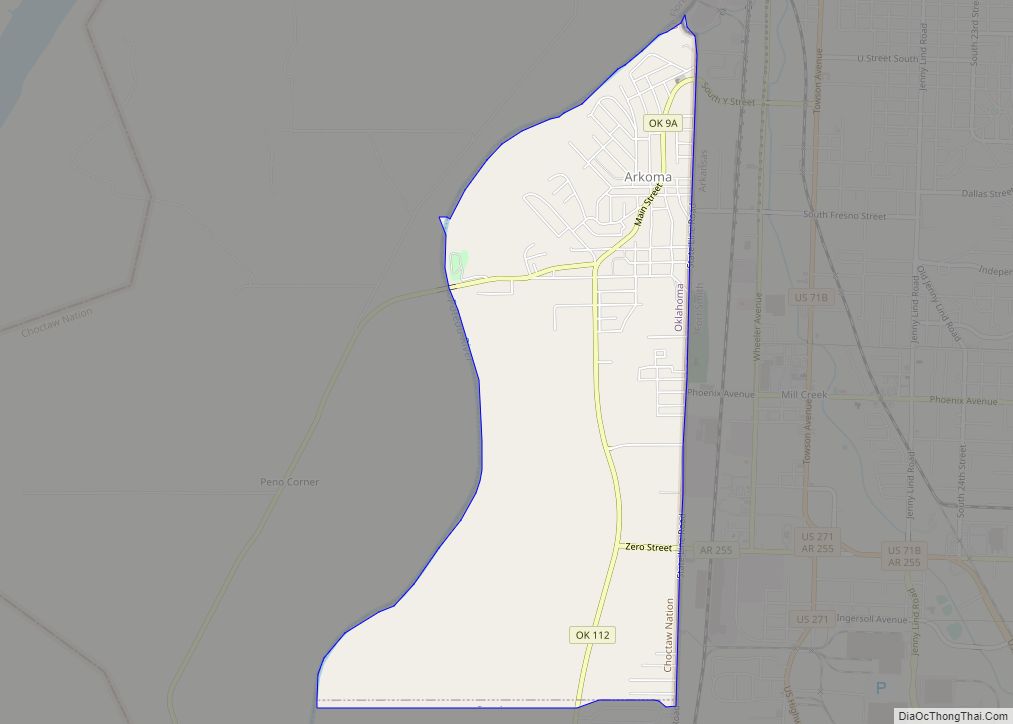
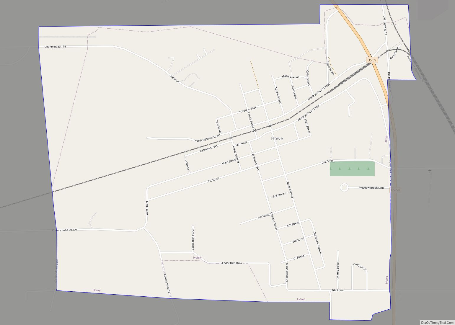
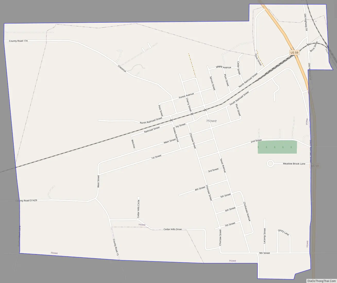
Howe Road Map
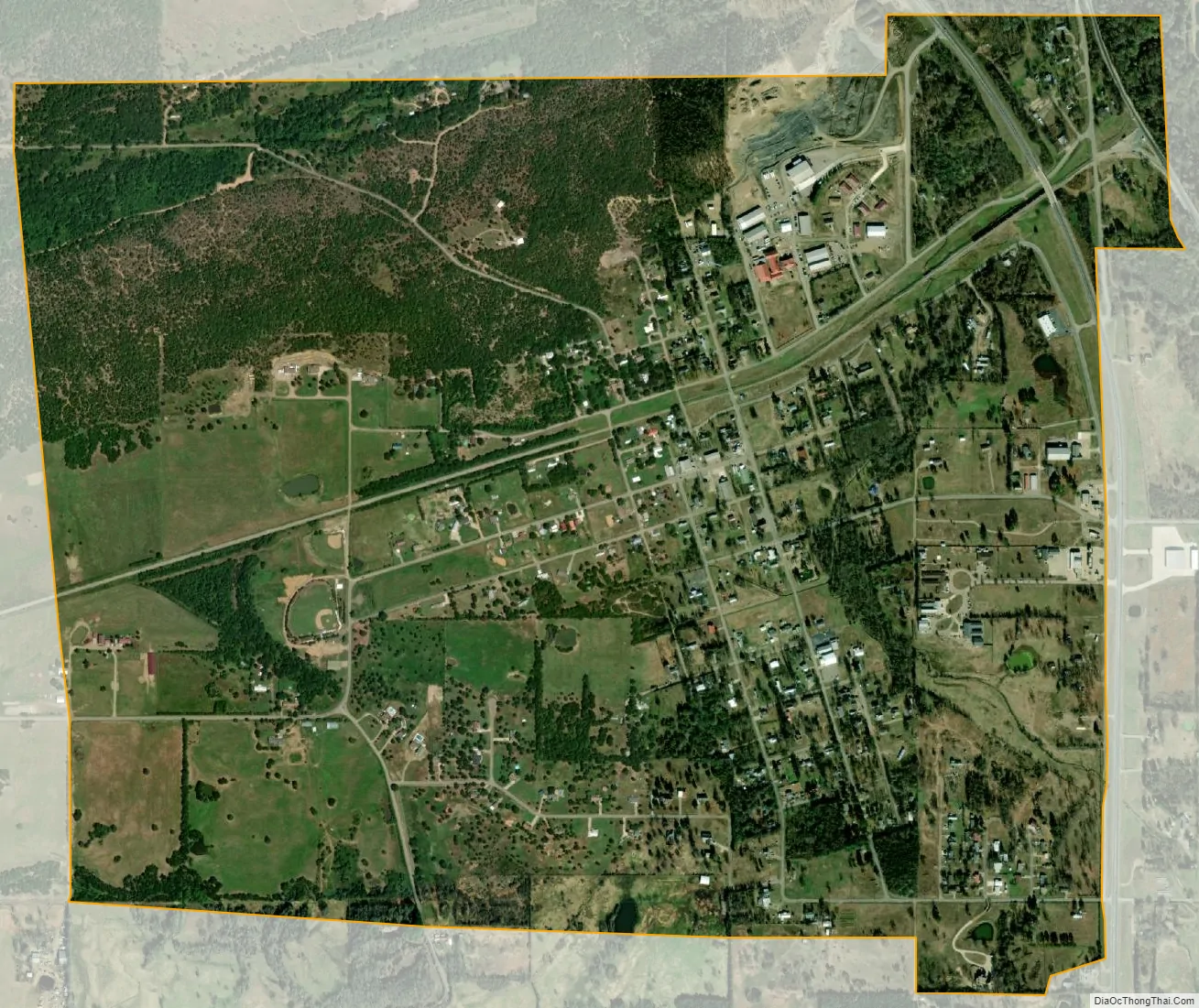
Howe city Satellite Map
Geography
Howe is located at 34°57′5″N 94°38′13″W / 34.95139°N 94.63694°W / 34.95139; -94.63694 (34.951369, -94.636980).
According to the United States Census Bureau, the town has a total area of 1.5 square miles (3.9 km), all land. it is 8 miles (13 km) north of Heavener and 7 miles (11 km) south of Poteau.
See also
Map of Oklahoma State and its subdivision:- Adair
- Alfalfa
- Atoka
- Beaver
- Beckham
- Blaine
- Bryan
- Caddo
- Canadian
- Carter
- Cherokee
- Choctaw
- Cimarron
- Cleveland
- Coal
- Comanche
- Cotton
- Craig
- Creek
- Custer
- Delaware
- Dewey
- Ellis
- Garfield
- Garvin
- Grady
- Grant
- Greer
- Harmon
- Harper
- Haskell
- Hughes
- Jackson
- Jefferson
- Johnston
- Kay
- Kingfisher
- Kiowa
- Latimer
- Le Flore
- Lincoln
- Logan
- Love
- Major
- Marshall
- Mayes
- McClain
- McCurtain
- McIntosh
- Murray
- Muskogee
- Noble
- Nowata
- Okfuskee
- Oklahoma
- Okmulgee
- Osage
- Ottawa
- Pawnee
- Payne
- Pittsburg
- Pontotoc
- Pottawatomie
- Pushmataha
- Roger Mills
- Rogers
- Seminole
- Sequoyah
- Stephens
- Texas
- Tillman
- Tulsa
- Wagoner
- Washington
- Washita
- Woods
- Woodward
- Alabama
- Alaska
- Arizona
- Arkansas
- California
- Colorado
- Connecticut
- Delaware
- District of Columbia
- Florida
- Georgia
- Hawaii
- Idaho
- Illinois
- Indiana
- Iowa
- Kansas
- Kentucky
- Louisiana
- Maine
- Maryland
- Massachusetts
- Michigan
- Minnesota
- Mississippi
- Missouri
- Montana
- Nebraska
- Nevada
- New Hampshire
- New Jersey
- New Mexico
- New York
- North Carolina
- North Dakota
- Ohio
- Oklahoma
- Oregon
- Pennsylvania
- Rhode Island
- South Carolina
- South Dakota
- Tennessee
- Texas
- Utah
- Vermont
- Virginia
- Washington
- West Virginia
- Wisconsin
- Wyoming