Inola is a town in Rogers County, Oklahoma, United States. It is included in the Tulsa Metropolitan Statistical Area (TMSA). The population was 1,788 at the 2010 census, a 12.5 percent increase from 1,589 at the 2000 census. Inola is a Cherokee word meaning “Black Fox.” The town styles itself as “The Hay Capital of the World.”
| Name: | Inola town |
|---|---|
| LSAD Code: | 43 |
| LSAD Description: | town (suffix) |
| State: | Oklahoma |
| County: | Rogers County |
| Elevation: | 600 ft (200 m) |
| Total Area: | 6.75 sq mi (17.47 km²) |
| Land Area: | 6.68 sq mi (17.30 km²) |
| Water Area: | 0.07 sq mi (0.18 km²) |
| Total Population: | 1,890 |
| Population Density: | 283.02/sq mi (109.27/km²) |
| ZIP code: | 74036 |
| Area code: | 539/918 |
| FIPS code: | 4037100 |
| GNISfeature ID: | 1094108 |
| Website: | http://www.inolaok.com |
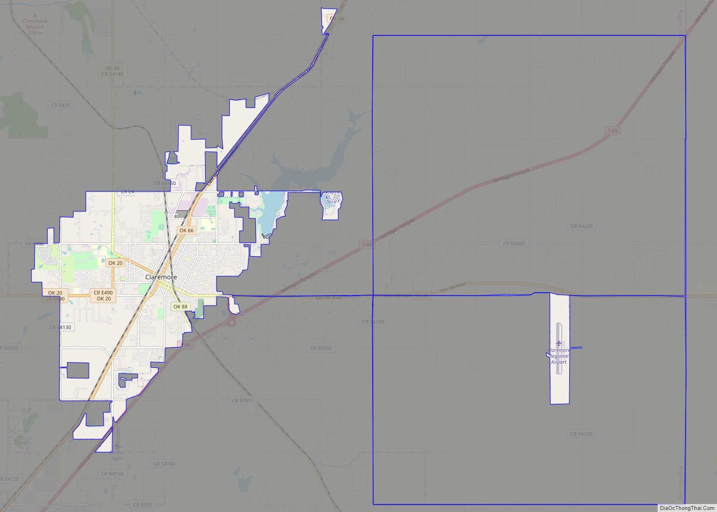
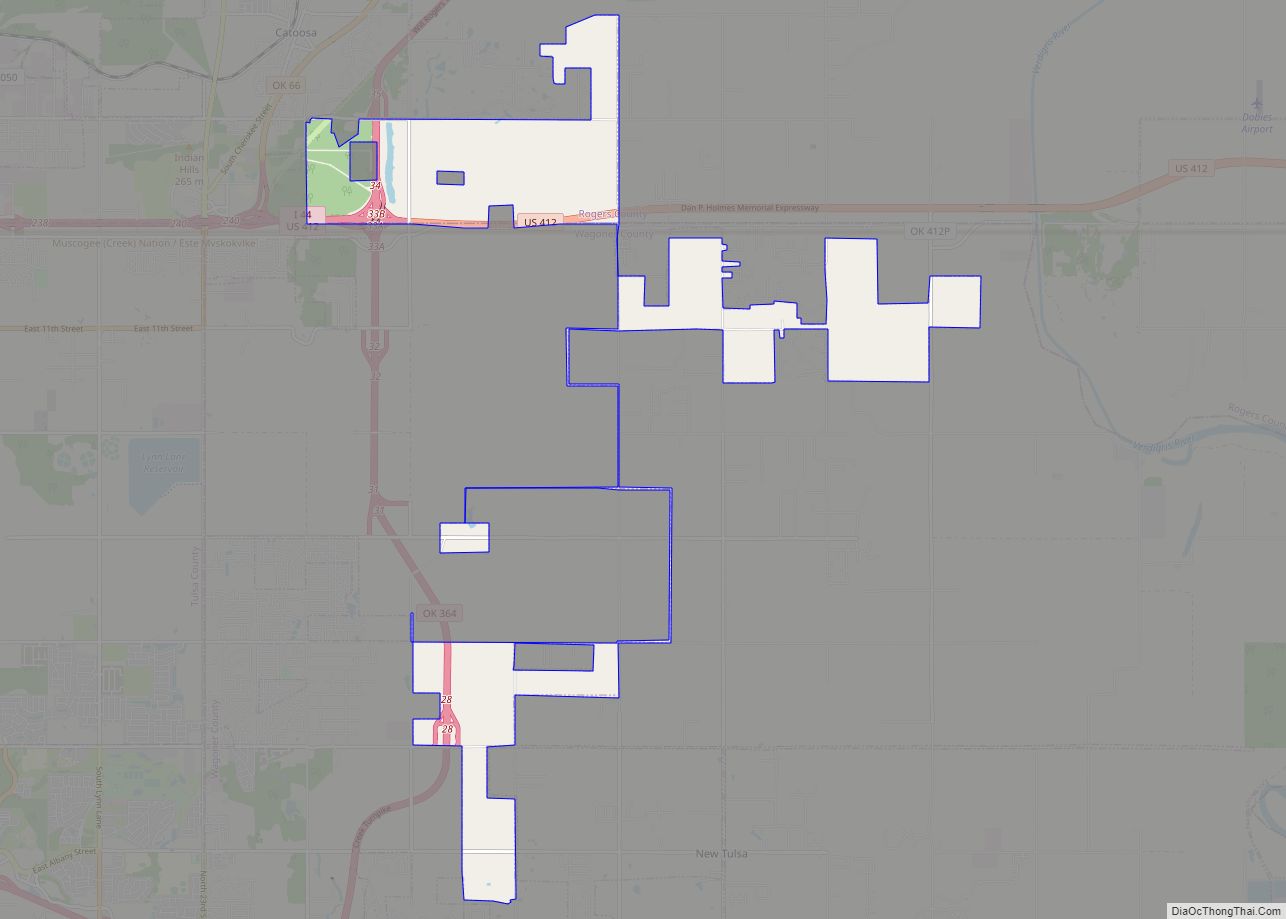
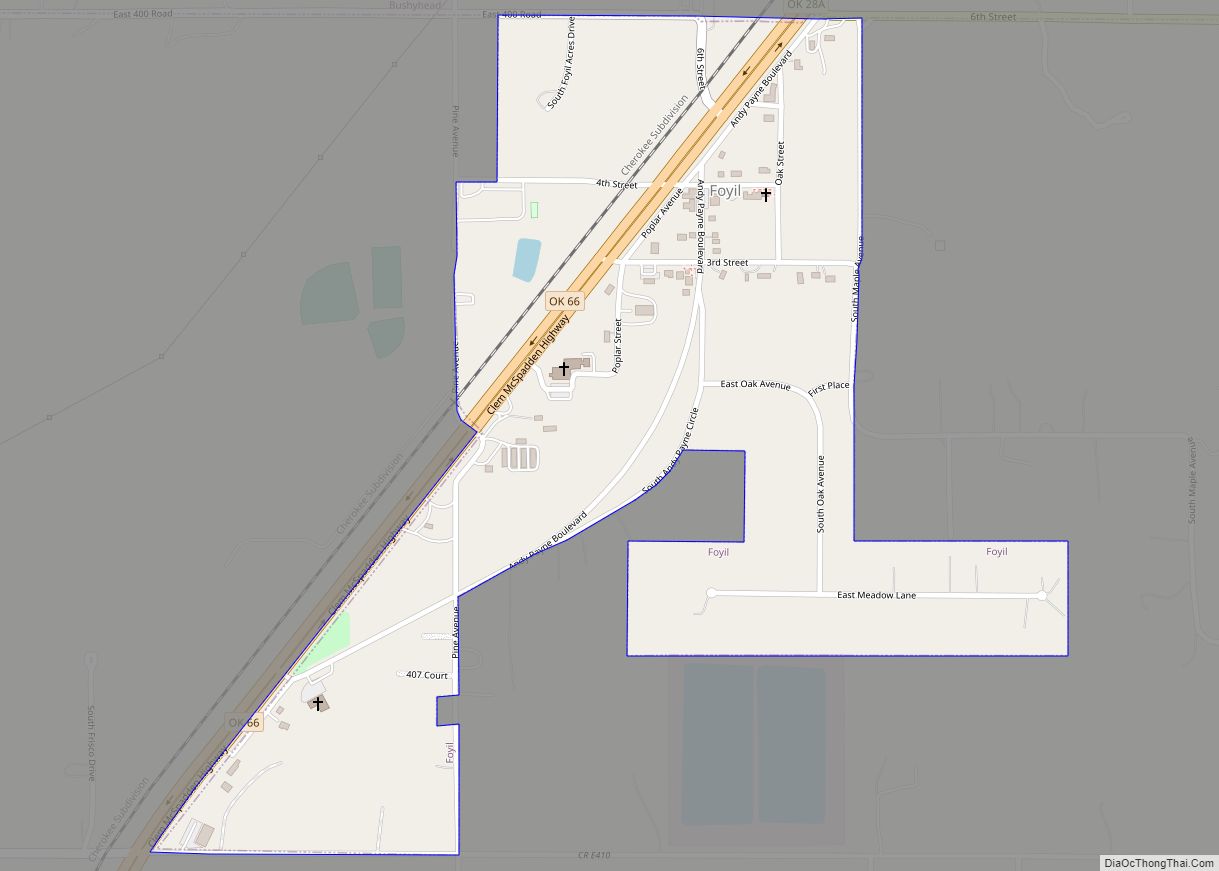
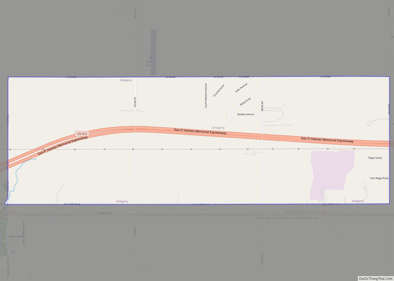
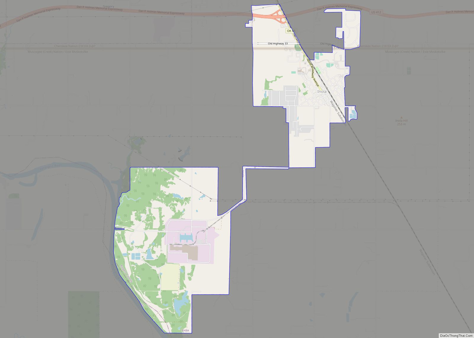
Online Interactive Map
Click on ![]() to view map in "full screen" mode.
to view map in "full screen" mode.
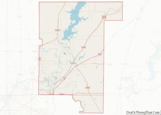
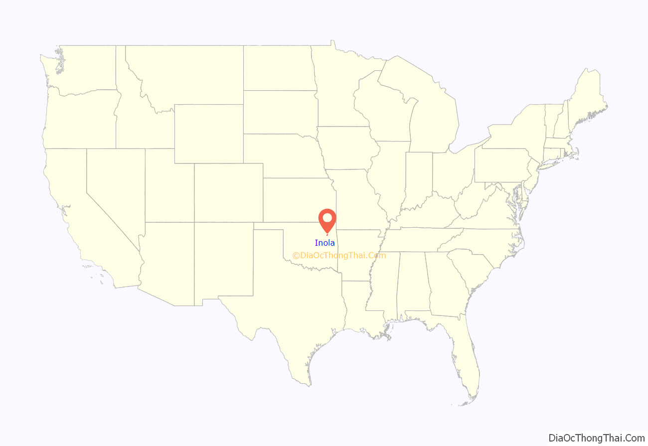
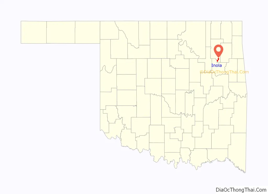
Inola location map. Where is Inola town?
History
In 1889, the Kansas and Arkansas Valley Railway (later acquired by the Missouri Pacific Railway) built a line from Wagoner through the Foyil area on to the Kansas state line. The area was then just inside the northeastern corner of the Creek Nation in Indian Territory. A post office was established in March 1890 with the name Foyil. It was closed in September 1890, but reopened in April 1891. By 1901, the population was estimated at 100 people. The Dawes Commission had the town platted in 1902, before the Creek allotment.
Strip mines began producing coal nearby before statehood in 1907, causing a small boom in population. Inola’s population was 405 in 1920. As the coal industry began to decline, so did the town’s population. The 1930 census reported only 399 residents. The decline continued through the post World War II era, reaching 294 in 1950. A turnaround began in the 1950s as residents began commuting to Tulsa. Inola’s population grew to 584 in 1960 and 984 in 1970. The 1980 census showed 1,550 residents, increasing to 1,589 in 2000 and 1,788 in 2010.
Inola Road Map
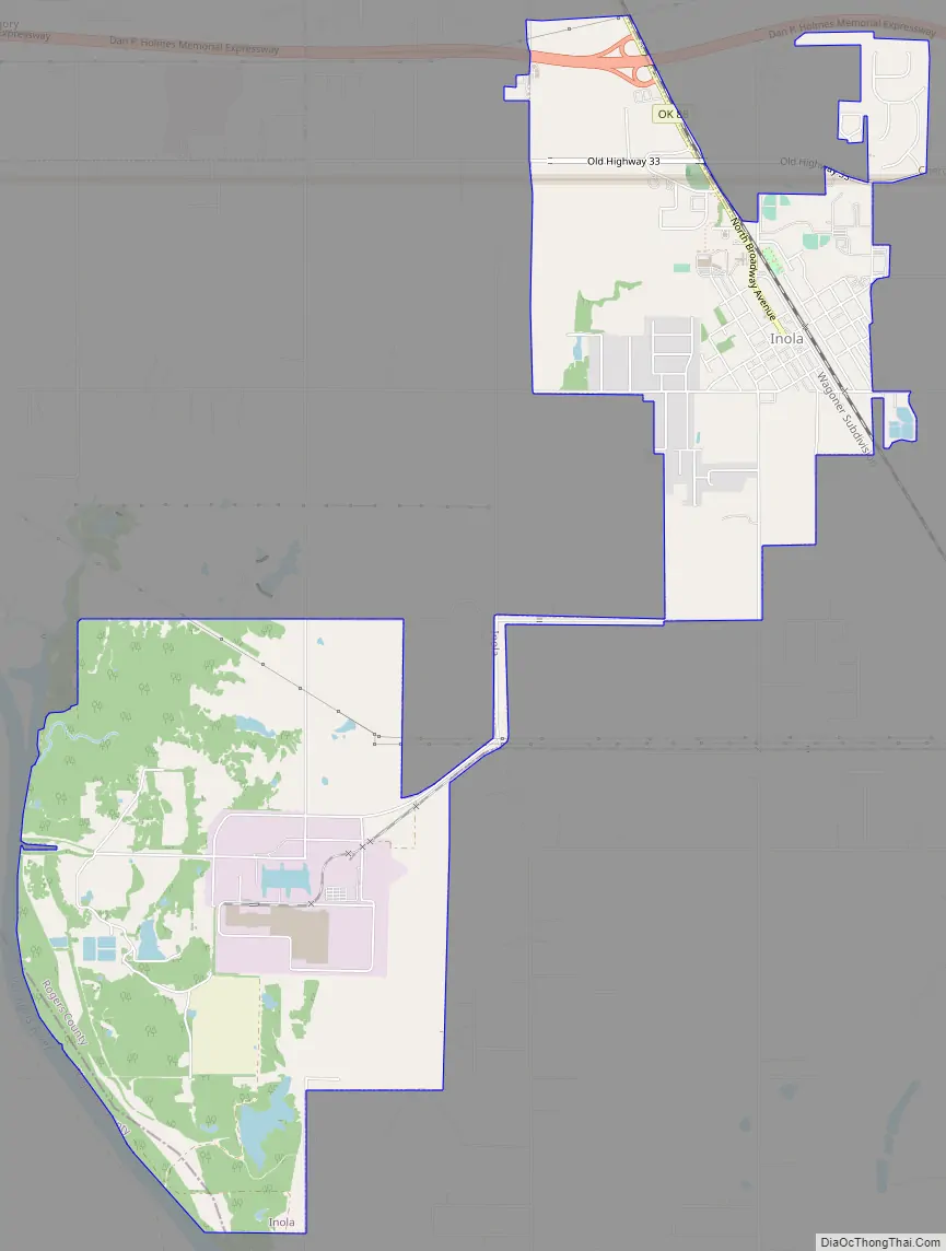
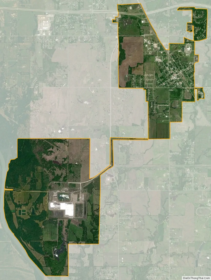
Inola city Satellite Map
Geography
Inola is located at 36°7′59″N 95°31′26″W / 36.13306°N 95.52389°W / 36.13306; -95.52389 (36.133182, -95.523938). According to the United States Census Bureau, the town has a total area of 6.6 square miles (17 km), of which 6.5 square miles (17 km) is land and 0.1 square miles (0.26 km) (0.91%) is water.
See also
Map of Oklahoma State and its subdivision:- Adair
- Alfalfa
- Atoka
- Beaver
- Beckham
- Blaine
- Bryan
- Caddo
- Canadian
- Carter
- Cherokee
- Choctaw
- Cimarron
- Cleveland
- Coal
- Comanche
- Cotton
- Craig
- Creek
- Custer
- Delaware
- Dewey
- Ellis
- Garfield
- Garvin
- Grady
- Grant
- Greer
- Harmon
- Harper
- Haskell
- Hughes
- Jackson
- Jefferson
- Johnston
- Kay
- Kingfisher
- Kiowa
- Latimer
- Le Flore
- Lincoln
- Logan
- Love
- Major
- Marshall
- Mayes
- McClain
- McCurtain
- McIntosh
- Murray
- Muskogee
- Noble
- Nowata
- Okfuskee
- Oklahoma
- Okmulgee
- Osage
- Ottawa
- Pawnee
- Payne
- Pittsburg
- Pontotoc
- Pottawatomie
- Pushmataha
- Roger Mills
- Rogers
- Seminole
- Sequoyah
- Stephens
- Texas
- Tillman
- Tulsa
- Wagoner
- Washington
- Washita
- Woods
- Woodward
- Alabama
- Alaska
- Arizona
- Arkansas
- California
- Colorado
- Connecticut
- Delaware
- District of Columbia
- Florida
- Georgia
- Hawaii
- Idaho
- Illinois
- Indiana
- Iowa
- Kansas
- Kentucky
- Louisiana
- Maine
- Maryland
- Massachusetts
- Michigan
- Minnesota
- Mississippi
- Missouri
- Montana
- Nebraska
- Nevada
- New Hampshire
- New Jersey
- New Mexico
- New York
- North Carolina
- North Dakota
- Ohio
- Oklahoma
- Oregon
- Pennsylvania
- Rhode Island
- South Carolina
- South Dakota
- Tennessee
- Texas
- Utah
- Vermont
- Virginia
- Washington
- West Virginia
- Wisconsin
- Wyoming