Jones is a town in Oklahoma County, Oklahoma. It is named after Charles G. Jones, a three-time mayor of Oklahoma City. The population was 2,692 at the time of the 2010 census.
| Name: | Jones town |
|---|---|
| LSAD Code: | 43 |
| LSAD Description: | town (suffix) |
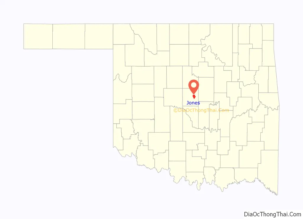
| State: | Oklahoma |
| County: | Oklahoma County |
| Elevation: | 1,116 ft (340 m) |
| Total Area: | 13.67 sq mi (35.42 km²) |
| Land Area: | 13.67 sq mi (35.40 km²) |
| Water Area: | 0.01 sq mi (0.02 km²) |
| Total Population: | 2,885 |
| Population Density: | 211.08/sq mi (81.50/km²) |
| ZIP code: | 73049 |
| Area code: | 405 |
| FIPS code: | 4038350 |
| GNISfeature ID: | 1094256 |
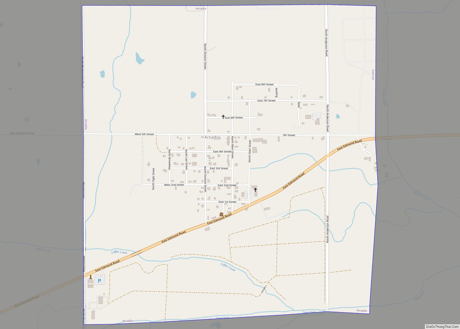
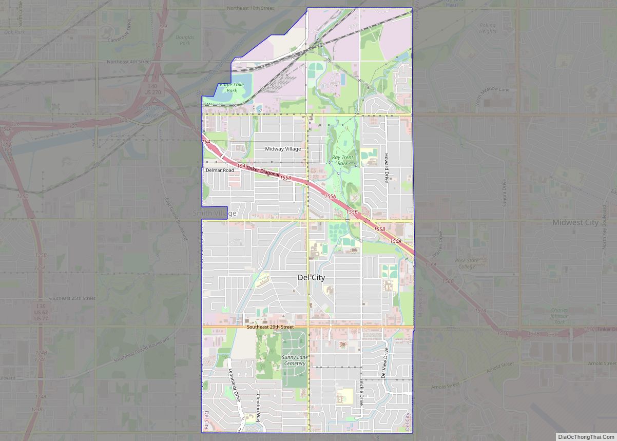
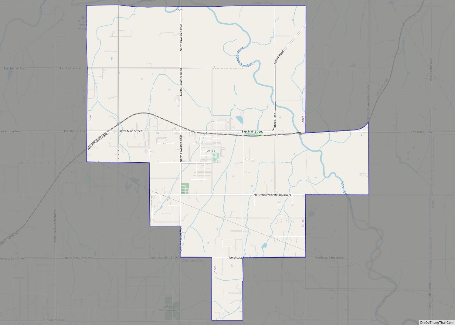
Online Interactive Map
Click on ![]() to view map in "full screen" mode.
to view map in "full screen" mode.
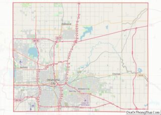
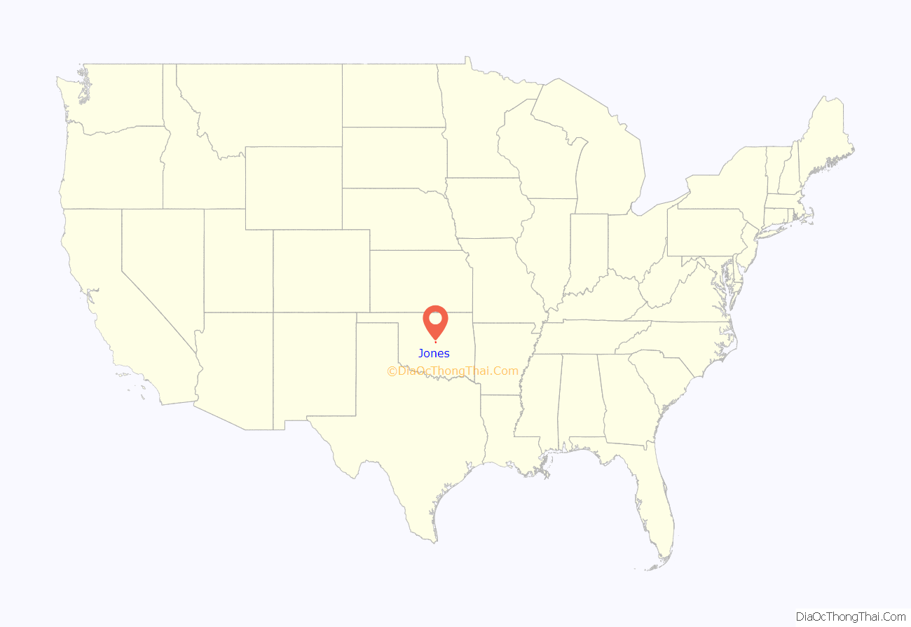
Jones location map. Where is Jones town?
History
Early history
Jones was plotted as a townsite on April 22, 1898 by Luther F. Aldrich before the St. Louis and Oklahoma City Railroad constructed a line from Sapulpa to Oklahoma City. Aldrich named the town after his friend and business associate, Charles G. “Gristmill” Jones who was a three-time mayor of Oklahoma City. Jones later named his eldest son Luther.
Jones is located just south of the place that Washington Irving described as “The Ringing of Horses” in the book A Tour on the Prairies (1835).
Jones was incorporated as a city on January 4, 1909. The 1910 Census counted the population at 163.
2007 ice storm and Jones High School fire
In December 2007, a devastating ice storm hit much of Oklahoma. It resulted in a fire at Jones High School, causing the school to burn to the ground. The new school was finished in 2010, after taking three years to build. The new school has a commons area and a theatre for drama club.
Earthquakes
On August 27, 2009, there were six earthquakes, the strongest of which registering a 3.7 magnitude on the Richter Scale, which occurred at 9:09 pm Central Standard Time.
On January 15, 2010, there were four earthquakes, the strongest of which registering a 4.0 magnitude on the Richter Scale, which occurred at 9:25 am Central Standard Time.
On January 24, 2010, a magnitude 3.7 earthquake struck Jones at 1:15 am Central Standard Time.
On February 27, 2010, a magnitude 4.1 earthquake struck, east of Oklahoma City at 4:22 pm Central Standard Time, preceded by a foreshock of magnitude 3.1 farther west on February 26 at 3:02 am local time.
On October 13, 2010, a 4.7 magnitude earthquake hit, 10 miles (16 km) east of Norman at 9:06 a.m.
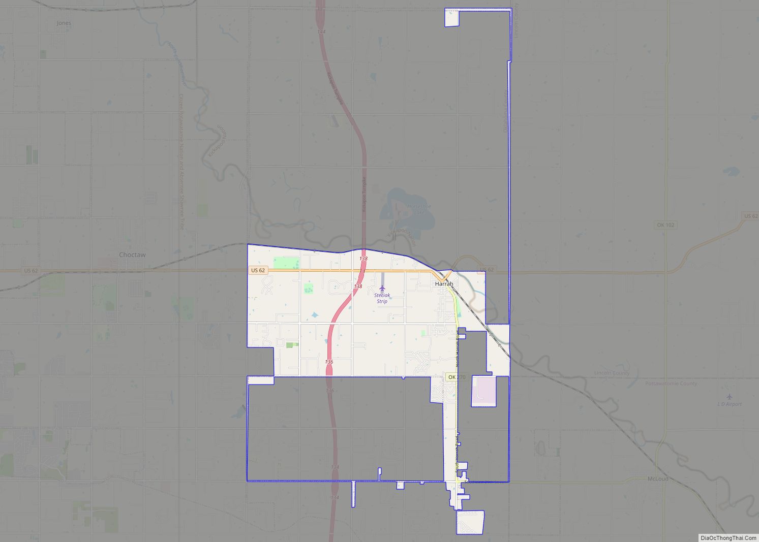
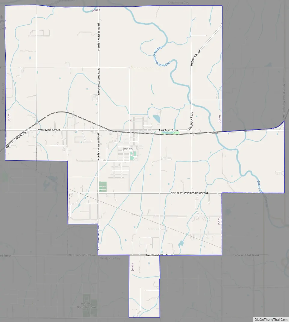
Jones Road Map
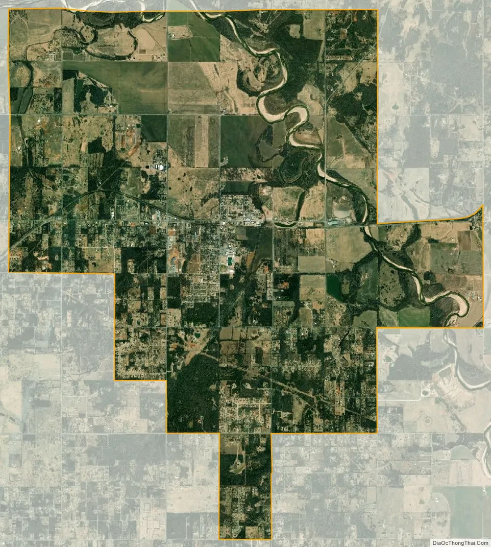
Jones city Satellite Map
Geography
Jones is located at 35°33′52″N 97°17′27″W / 35.56444°N 97.29083°W / 35.56444; -97.29083 (35.564510, -97.290860).
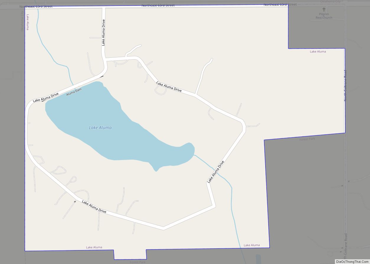
According to the United States Census Bureau, the town has a total area of 13.7 square miles (35 km), all land.
Jones is located in the Cross Timbers ecoregion and the Frontier Country tourism region.
See also
Map of Oklahoma State and its subdivision:- Adair
- Alfalfa
- Atoka
- Beaver
- Beckham
- Blaine
- Bryan
- Caddo
- Canadian
- Carter
- Cherokee
- Choctaw
- Cimarron
- Cleveland
- Coal
- Comanche
- Cotton
- Craig
- Creek
- Custer
- Delaware
- Dewey
- Ellis
- Garfield
- Garvin
- Grady
- Grant
- Greer
- Harmon
- Harper
- Haskell
- Hughes
- Jackson
- Jefferson
- Johnston
- Kay
- Kingfisher
- Kiowa
- Latimer
- Le Flore
- Lincoln
- Logan
- Love
- Major
- Marshall
- Mayes
- McClain
- McCurtain
- McIntosh
- Murray
- Muskogee
- Noble
- Nowata
- Okfuskee
- Oklahoma
- Okmulgee
- Osage
- Ottawa
- Pawnee
- Payne
- Pittsburg
- Pontotoc
- Pottawatomie
- Pushmataha
- Roger Mills
- Rogers
- Seminole
- Sequoyah
- Stephens
- Texas
- Tillman
- Tulsa
- Wagoner
- Washington
- Washita
- Woods
- Woodward
- Alabama
- Alaska
- Arizona
- Arkansas
- California
- Colorado
- Connecticut
- Delaware
- District of Columbia
- Florida
- Georgia
- Hawaii
- Idaho
- Illinois
- Indiana
- Iowa
- Kansas
- Kentucky
- Louisiana
- Maine
- Maryland
- Massachusetts
- Michigan
- Minnesota
- Mississippi
- Missouri
- Montana
- Nebraska
- Nevada
- New Hampshire
- New Jersey
- New Mexico
- New York
- North Carolina
- North Dakota
- Ohio
- Oklahoma
- Oregon
- Pennsylvania
- Rhode Island
- South Carolina
- South Dakota
- Tennessee
- Texas
- Utah
- Vermont
- Virginia
- Washington
- West Virginia
- Wisconsin
- Wyoming