LeFlore is a town in LeFlore County, Oklahoma, United States. It is part of the Fort Smith, Arkansas-Oklahoma Metropolitan Statistical Area. The population was 190 at the 2010 census, an increase of 13.1 percent over the figure of 168 in 2000. Although the legal town name is spelled in the two-word form, the official federal name for the place and the postal name used is Leflore.
| Name: | Le Flore town |
|---|---|
| LSAD Code: | 43 |
| LSAD Description: | town (suffix) |
| State: | Oklahoma |
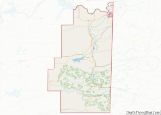
| County: | Le Flore County |
| Elevation: | 561 ft (171 m) |
| Total Area: | 1.32 sq mi (3.42 km²) |
| Land Area: | 1.31 sq mi (3.40 km²) |
| Water Area: | 0.01 sq mi (0.01 km²) |
| Total Population: | 150 |
| Population Density: | 114.16/sq mi (44.07/km²) |
| ZIP code: | 74942 |
| Area code: | 539/918 |
| FIPS code: | 4042150 |
| GNISfeature ID: | 1101499 |
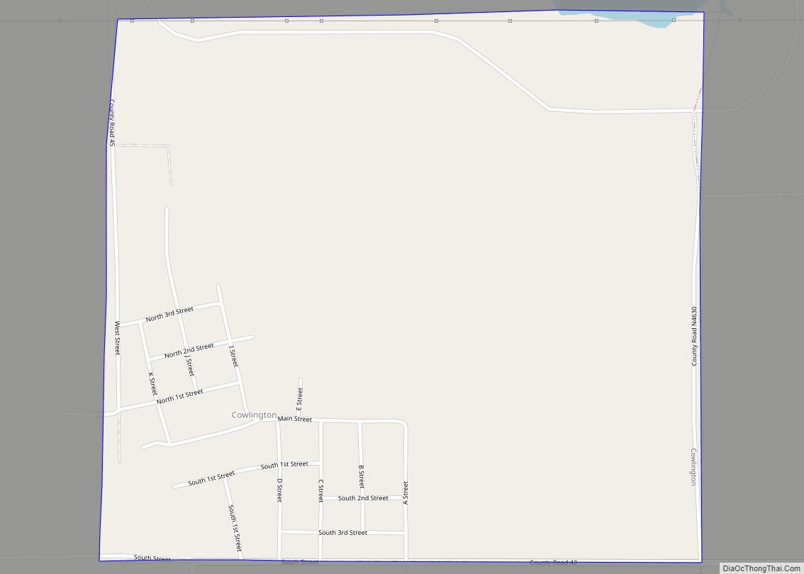
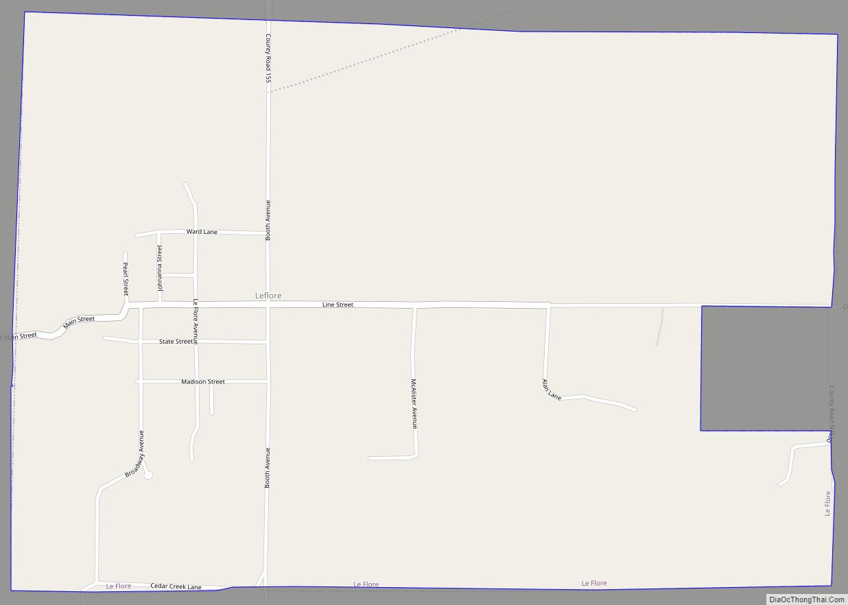
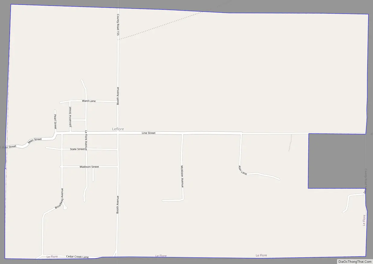
Online Interactive Map
Click on ![]() to view map in "full screen" mode.
to view map in "full screen" mode.
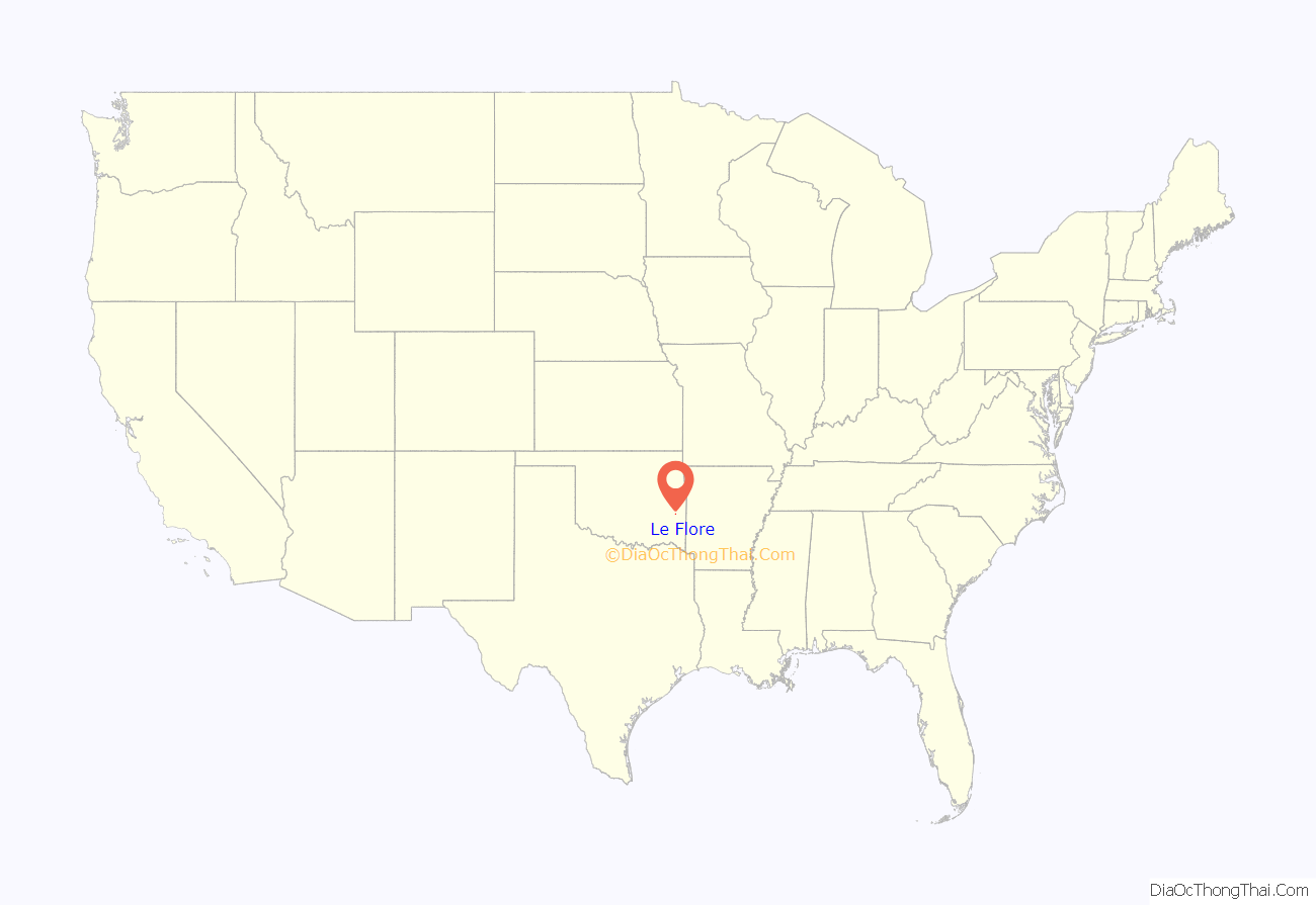
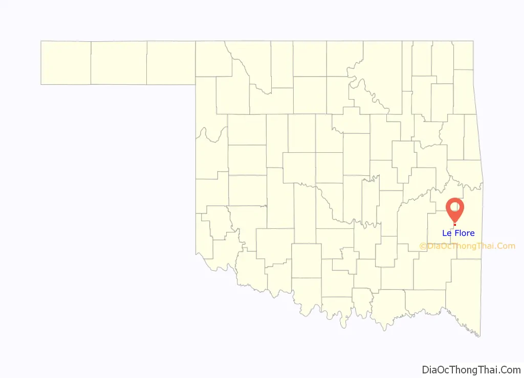
Le Flore location map. Where is Le Flore town?
History
The community was established as a station stop on the St. Louis and San Francisco Railroad, which opened in 1887. A post office opened at LeFlore, Indian Territory on August 26, 1887. The community was named for the LeFlore family.
At the time of its founding, LeFlore was located in the Moshulatubbee District of the Choctaw Nation.
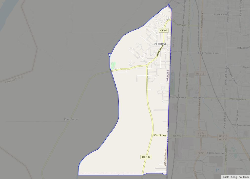
Le Flore Road Map
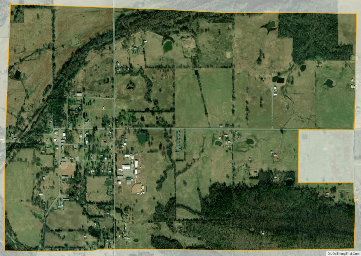
Le Flore city Satellite Map
Geography
LeFlore is located at 34°53′49″N 94°58′53″W / 34.89694°N 94.98139°W / 34.89694; -94.98139 (34.896948, -94.981375). It is approximately 25 miles (40 km) west of Poteau
According to the United States Census Bureau, the town has a total area of 1.4 square miles (3.6 km), of which 1.4 square miles (3.6 km) is land and 0.71% is water.
See also
Map of Oklahoma State and its subdivision:- Adair
- Alfalfa
- Atoka
- Beaver
- Beckham
- Blaine
- Bryan
- Caddo
- Canadian
- Carter
- Cherokee
- Choctaw
- Cimarron
- Cleveland
- Coal
- Comanche
- Cotton
- Craig
- Creek
- Custer
- Delaware
- Dewey
- Ellis
- Garfield
- Garvin
- Grady
- Grant
- Greer
- Harmon
- Harper
- Haskell
- Hughes
- Jackson
- Jefferson
- Johnston
- Kay
- Kingfisher
- Kiowa
- Latimer
- Le Flore
- Lincoln
- Logan
- Love
- Major
- Marshall
- Mayes
- McClain
- McCurtain
- McIntosh
- Murray
- Muskogee
- Noble
- Nowata
- Okfuskee
- Oklahoma
- Okmulgee
- Osage
- Ottawa
- Pawnee
- Payne
- Pittsburg
- Pontotoc
- Pottawatomie
- Pushmataha
- Roger Mills
- Rogers
- Seminole
- Sequoyah
- Stephens
- Texas
- Tillman
- Tulsa
- Wagoner
- Washington
- Washita
- Woods
- Woodward
- Alabama
- Alaska
- Arizona
- Arkansas
- California
- Colorado
- Connecticut
- Delaware
- District of Columbia
- Florida
- Georgia
- Hawaii
- Idaho
- Illinois
- Indiana
- Iowa
- Kansas
- Kentucky
- Louisiana
- Maine
- Maryland
- Massachusetts
- Michigan
- Minnesota
- Mississippi
- Missouri
- Montana
- Nebraska
- Nevada
- New Hampshire
- New Jersey
- New Mexico
- New York
- North Carolina
- North Dakota
- Ohio
- Oklahoma
- Oregon
- Pennsylvania
- Rhode Island
- South Carolina
- South Dakota
- Tennessee
- Texas
- Utah
- Vermont
- Virginia
- Washington
- West Virginia
- Wisconsin
- Wyoming