Locust Grove is a town in Mayes County, Oklahoma, United States. The population was 1,423 at the 2010 census, a 4.2 percent increase over the figure of 1,366 recorded in 2000.
| Name: | Locust Grove town |
|---|---|
| LSAD Code: | 43 |
| LSAD Description: | town (suffix) |
| State: | Oklahoma |
| County: | Mayes County |
| Elevation: | 676 ft (206 m) |
| Total Area: | 1.82 sq mi (4.72 km²) |
| Land Area: | 1.82 sq mi (4.72 km²) |
| Water Area: | 0.00 sq mi (0.00 km²) |
| Total Population: | 1,371 |
| Population Density: | 752.06/sq mi (290.39/km²) |
| ZIP code: | 74352 |
| Area code: | 539/918 |
| FIPS code: | 4043500 |
| GNISfeature ID: | 1094881 |
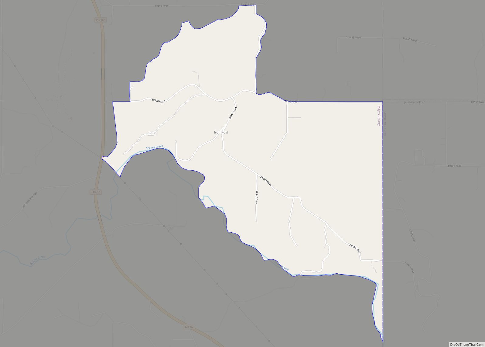
Online Interactive Map
Click on ![]() to view map in "full screen" mode.
to view map in "full screen" mode.
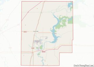
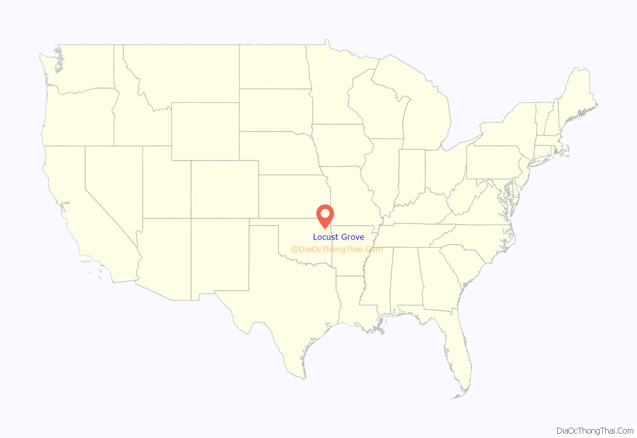
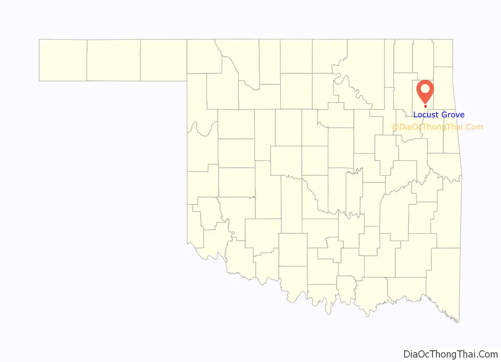
Locust Grove location map. Where is Locust Grove town?
History
Locust Grove was the site of the Battle of Locust Grove, a small Civil War engagement on July 3, 1862, in which approximately 250 Union troops surprised and destroyed a similar-sized Confederate contingent, killing about 100 and capturing another 100 while sustaining only minimal losses. The escaping Confederates retreated toward Tahlequah, leading to a loss of morale and desertions among the Cherokee Confederate supporters.
A small community, named for the grove of locust trees where this battle took place, formed here, in the Cherokee Nation of Indian Territory. A post office was established here on March 26, 1873. Jim Bryan moved the post office to his store in 1908, after Oklahoma became a state and Mayes County was established. In 1910, Louie Ross bought the Bryan store and moved it to his father’s ranch house. The community of Locust Grove soon relocated closer to the store, and soon had a cemetery, a gristmill, two blacksmith shops, and a separate building to house the post office.
The existing townsite was established in 1912 by O.W. Killam, a lawyer, merchant, realtor and promoter who bought the Cherokee allotment that had belonged to Elzina Ross in connection with the construction of the Kansas, Oklahoma and Gulf Railway. Killam platted the townsite and incorporated it on March 4, 1913.
The town has had its share of tragedy. In June 1952, the county attorney Jack Burris was assassinated at his home at Locust Grove in one of the most famous unsolved murders in Oklahoma history. In 1977 it was the location of the Oklahoma Girl Scout murders, in which three young girls were raped and murdered as they were camping at the nearby Camp Scott Girl Scout facility. Gene Leroy Hart was arrested and tried for the crime, but found not guilty in a jury trial. The case remains open. Also, a popular restaurant, “Country Cottage”, was linked to a highly publicized August 2008 outbreak of E. coli O111, a rare strain of the bacterium. The outbreak resulted in more than 100 cases of gastrointestinal food poisoning and one death; subsequent studies were unclear about the source of the bacteria, leading Oklahoma Attorney General Drew Edmondson to accuse the state health department of having “botched” the investigation.
Native American Cherokee sculptor Willard Stone lived near Locust Grove; a museum dedicated to his work is now located on the site.
Locust Grove is home to the Rural Oklahoma Museum of Poetry. There is only one other poetry museum in the U.S., the American Poetry Museum in Washington DC.
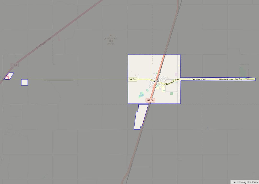
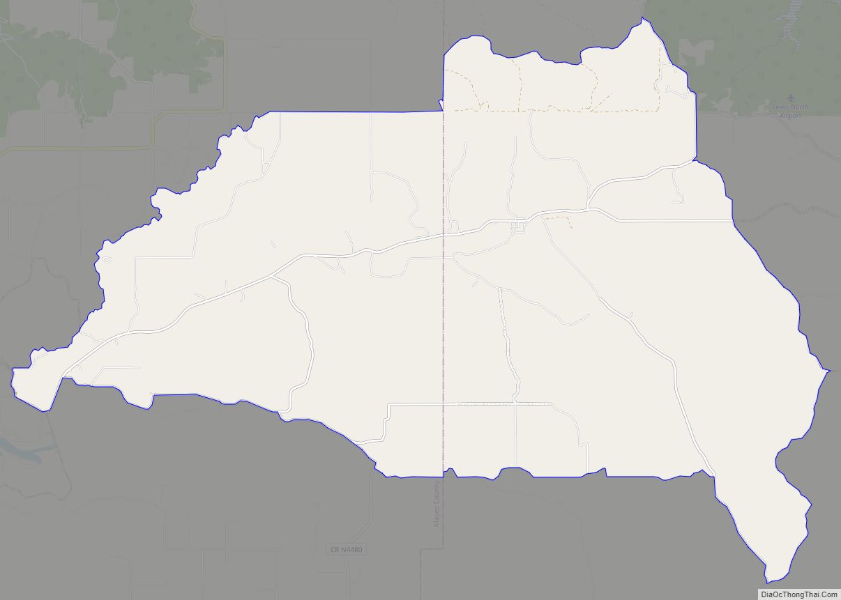
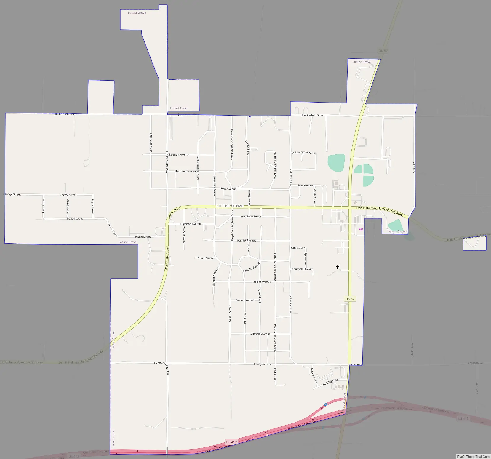
Locust Grove Road Map
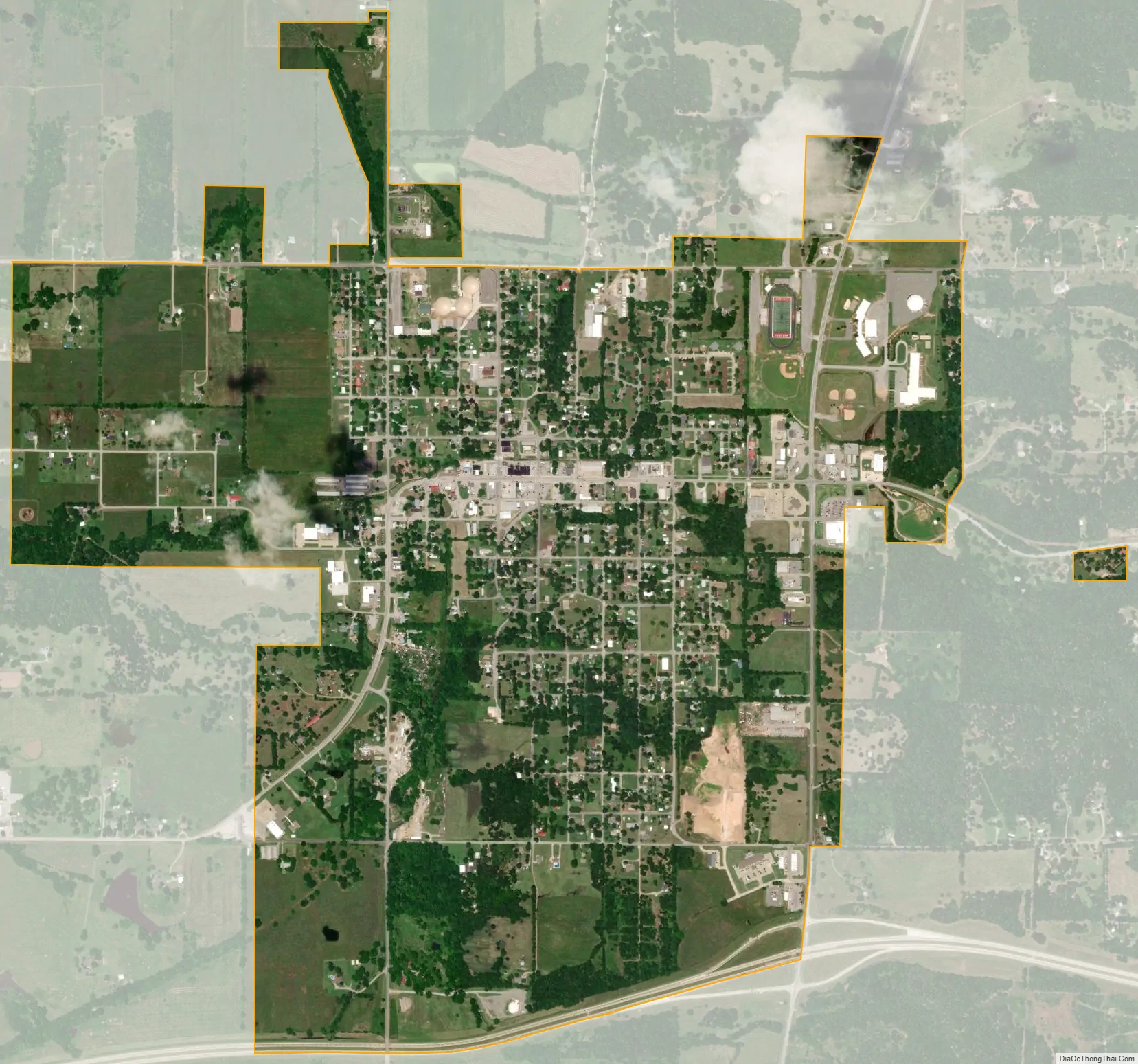
Locust Grove city Satellite Map
Geography
Locust Grove is located at 36°11′50″N 95°10′1″W / 36.19722°N 95.16694°W / 36.19722; -95.16694 (36.197290, −95.166993). It is 11 miles (18 km) south of Salina, at the intersection of State Highway 82 and U.S. Route 412.
According to the United States Census Bureau, the town has a total area of 0.9 square miles (2.3 km), all land.
See also
Map of Oklahoma State and its subdivision:- Adair
- Alfalfa
- Atoka
- Beaver
- Beckham
- Blaine
- Bryan
- Caddo
- Canadian
- Carter
- Cherokee
- Choctaw
- Cimarron
- Cleveland
- Coal
- Comanche
- Cotton
- Craig
- Creek
- Custer
- Delaware
- Dewey
- Ellis
- Garfield
- Garvin
- Grady
- Grant
- Greer
- Harmon
- Harper
- Haskell
- Hughes
- Jackson
- Jefferson
- Johnston
- Kay
- Kingfisher
- Kiowa
- Latimer
- Le Flore
- Lincoln
- Logan
- Love
- Major
- Marshall
- Mayes
- McClain
- McCurtain
- McIntosh
- Murray
- Muskogee
- Noble
- Nowata
- Okfuskee
- Oklahoma
- Okmulgee
- Osage
- Ottawa
- Pawnee
- Payne
- Pittsburg
- Pontotoc
- Pottawatomie
- Pushmataha
- Roger Mills
- Rogers
- Seminole
- Sequoyah
- Stephens
- Texas
- Tillman
- Tulsa
- Wagoner
- Washington
- Washita
- Woods
- Woodward
- Alabama
- Alaska
- Arizona
- Arkansas
- California
- Colorado
- Connecticut
- Delaware
- District of Columbia
- Florida
- Georgia
- Hawaii
- Idaho
- Illinois
- Indiana
- Iowa
- Kansas
- Kentucky
- Louisiana
- Maine
- Maryland
- Massachusetts
- Michigan
- Minnesota
- Mississippi
- Missouri
- Montana
- Nebraska
- Nevada
- New Hampshire
- New Jersey
- New Mexico
- New York
- North Carolina
- North Dakota
- Ohio
- Oklahoma
- Oregon
- Pennsylvania
- Rhode Island
- South Carolina
- South Dakota
- Tennessee
- Texas
- Utah
- Vermont
- Virginia
- Washington
- West Virginia
- Wisconsin
- Wyoming