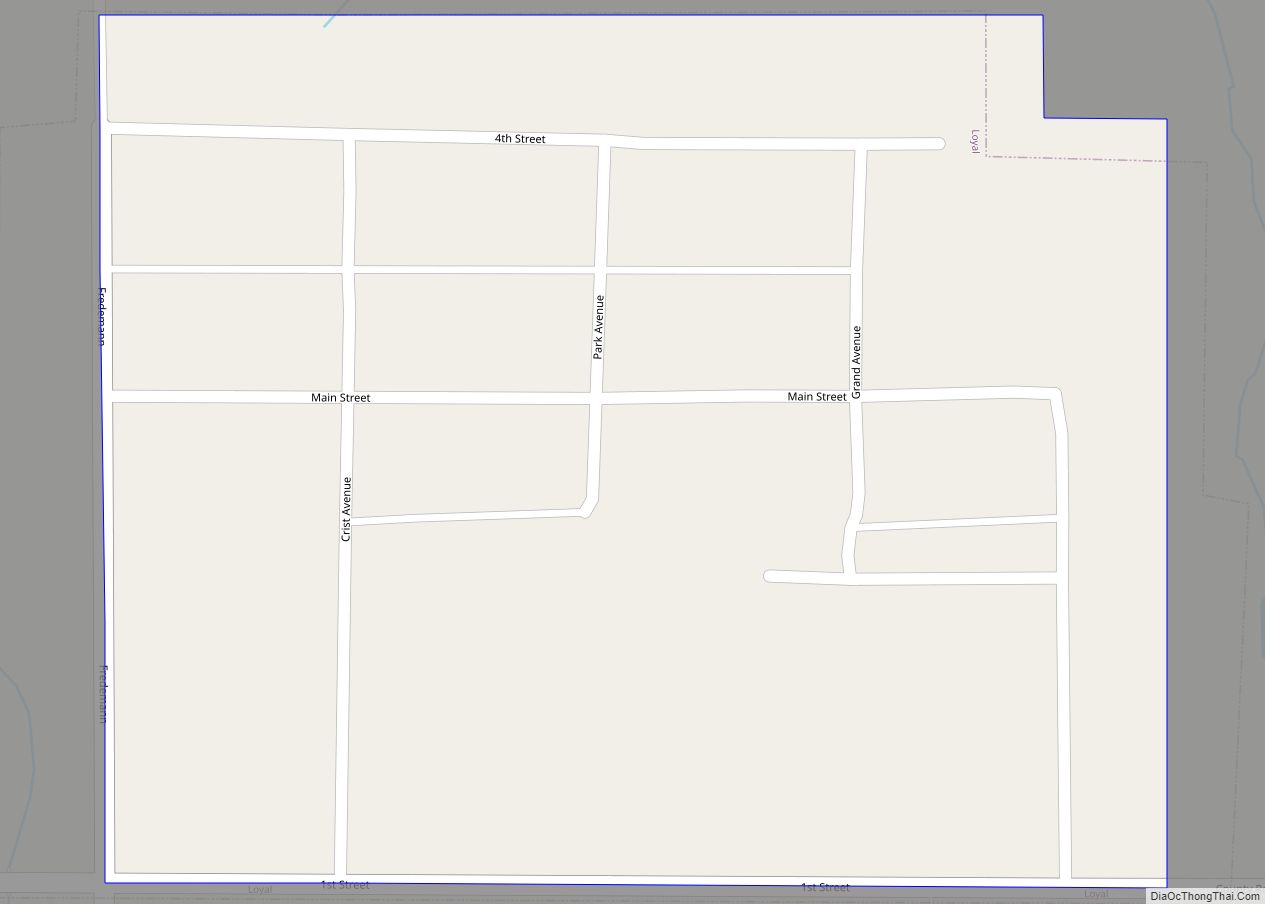
Loyal is a town in Kingfisher County, Oklahoma, United States. The population was 79 at the 2010 census.
| Name: | Loyal town |
|---|---|
| LSAD Code: | 43 |
| LSAD Description: | town (suffix) |
| State: | Oklahoma |
| County: | Kingfisher County |
| Elevation: | 1,116 ft (340 m) |
| Total Area: | 0.09 sq mi (0.23 km²) |
| Land Area: | 0.09 sq mi (0.23 km²) |
| Water Area: | 0.00 sq mi (0.00 km²) |
| Total Population: | 71 |
| Population Density: | 797.75/sq mi (308.02/km²) |
| ZIP code: | 73756 |
| Area code: | 405/572 |
| FIPS code: | 4044300 |
| GNISfeature ID: | 2412923 |
Online Interactive Map
Click on ![]() to view map in "full screen" mode.
to view map in "full screen" mode.
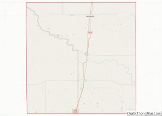
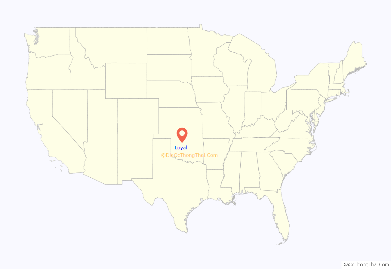
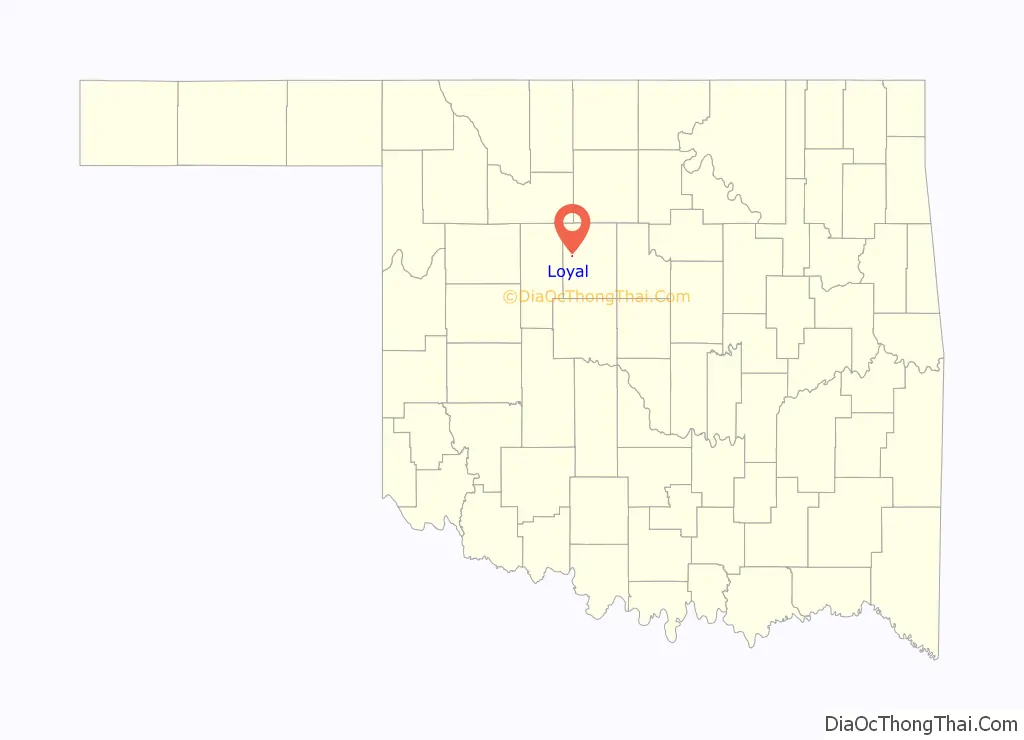
Loyal location map. Where is Loyal town?
History
A large share of the early settlers being natives of Germany, the original name of the settlement was “Kiel”, after the city in northern Germany. In 1917 following American entry into World War I, the name was changed to “Loyal” due to rampant anti-German sentiment.
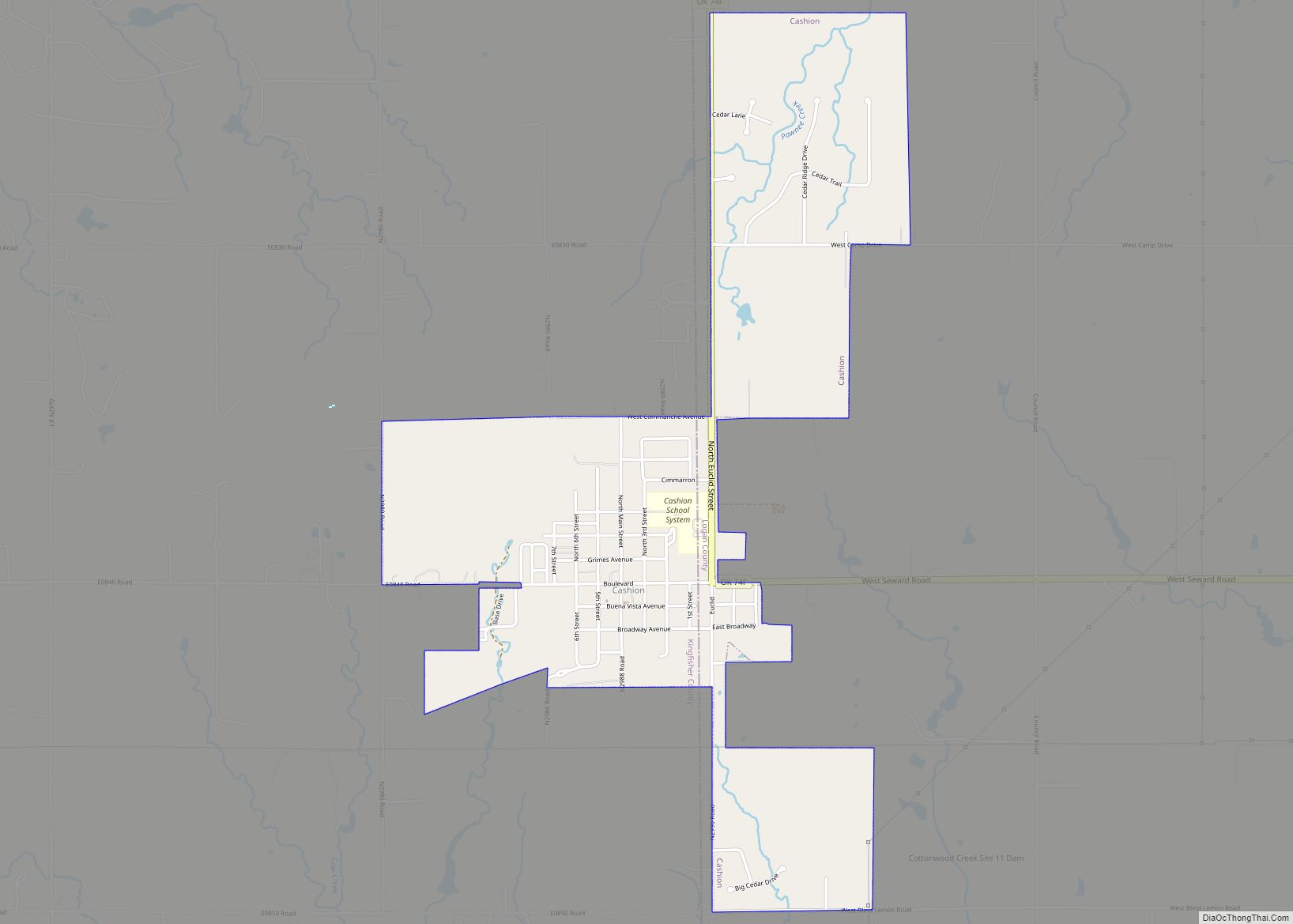
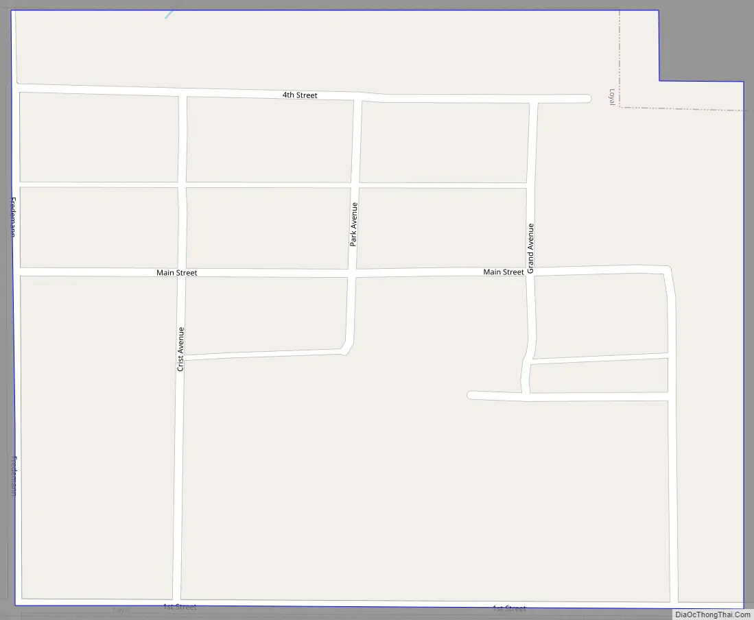
Loyal Road Map
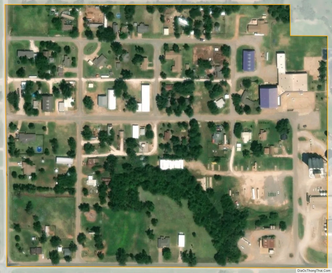
Loyal city Satellite Map
Geography
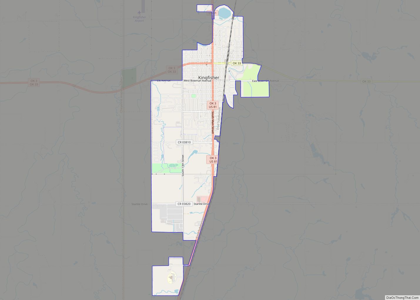
Loyal is located in western Kingfisher County 18 miles (29 km) northwest of Kingfisher, the county seat.
According to the United States Census Bureau, the town has a total area of 0.081 square miles (0.21 km), all land. The town sits next to Cooper Creek, an east-flowing tributary of the Cimarron River.
See also
Map of Oklahoma State and its subdivision:- Adair
- Alfalfa
- Atoka
- Beaver
- Beckham
- Blaine
- Bryan
- Caddo
- Canadian
- Carter
- Cherokee
- Choctaw
- Cimarron
- Cleveland
- Coal
- Comanche
- Cotton
- Craig
- Creek
- Custer
- Delaware
- Dewey
- Ellis
- Garfield
- Garvin
- Grady
- Grant
- Greer
- Harmon
- Harper
- Haskell
- Hughes
- Jackson
- Jefferson
- Johnston
- Kay
- Kingfisher
- Kiowa
- Latimer
- Le Flore
- Lincoln
- Logan
- Love
- Major
- Marshall
- Mayes
- McClain
- McCurtain
- McIntosh
- Murray
- Muskogee
- Noble
- Nowata
- Okfuskee
- Oklahoma
- Okmulgee
- Osage
- Ottawa
- Pawnee
- Payne
- Pittsburg
- Pontotoc
- Pottawatomie
- Pushmataha
- Roger Mills
- Rogers
- Seminole
- Sequoyah
- Stephens
- Texas
- Tillman
- Tulsa
- Wagoner
- Washington
- Washita
- Woods
- Woodward
- Alabama
- Alaska
- Arizona
- Arkansas
- California
- Colorado
- Connecticut
- Delaware
- District of Columbia
- Florida
- Georgia
- Hawaii
- Idaho
- Illinois
- Indiana
- Iowa
- Kansas
- Kentucky
- Louisiana
- Maine
- Maryland
- Massachusetts
- Michigan
- Minnesota
- Mississippi
- Missouri
- Montana
- Nebraska
- Nevada
- New Hampshire
- New Jersey
- New Mexico
- New York
- North Carolina
- North Dakota
- Ohio
- Oklahoma
- Oregon
- Pennsylvania
- Rhode Island
- South Carolina
- South Dakota
- Tennessee
- Texas
- Utah
- Vermont
- Virginia
- Washington
- West Virginia
- Wisconsin
- Wyoming