Kingfisher is a city in and the county seat of Kingfisher County, Oklahoma,. The population was 4,903 at the time of the 2020 census. It is the former home and namesake of Kingfisher College. According to the Encyclopedia of Oklahoma History and Culture, Kingfisher is now primarily a bedroom community for people employed in Enid and Oklahoma City.
| Name: | Kingfisher city |
|---|---|
| LSAD Code: | 25 |
| LSAD Description: | city (suffix) |
| State: | Oklahoma |
| County: | Kingfisher County |
| Elevation: | 1,089 ft (332 m) |
| Total Area: | 4.52 sq mi (11.71 km²) |
| Land Area: | 4.46 sq mi (11.56 km²) |
| Water Area: | 0.06 sq mi (0.15 km²) |
| Total Population: | 4,903 |
| Population Density: | 1,098.59/sq mi (424.12/km²) |
| ZIP code: | 73750 |
| Area code: | 405/572 |
| FIPS code: | 4039850 |
| GNISfeature ID: | 2411546 |
| Website: | kingfisher.org |
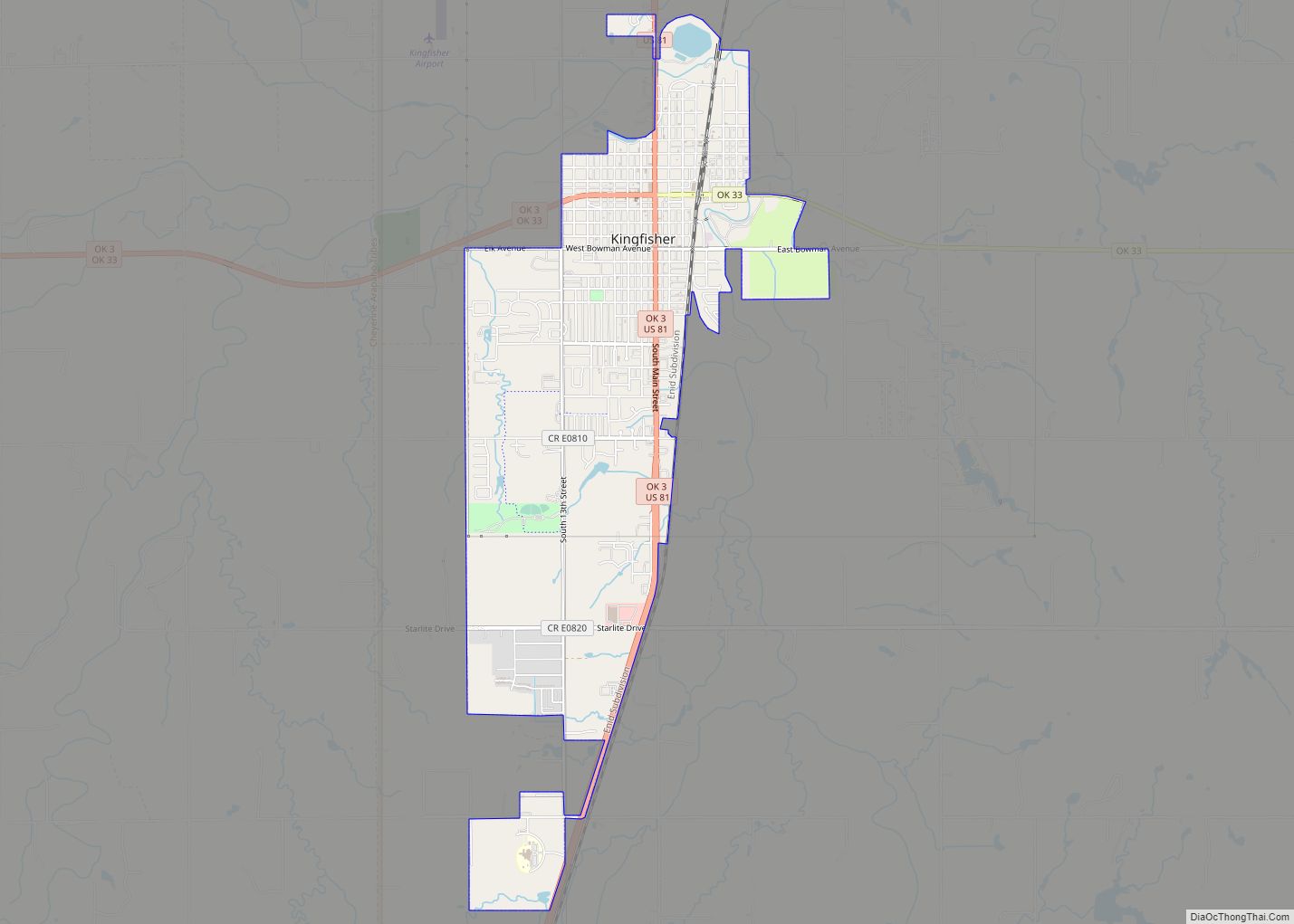
Online Interactive Map
Click on ![]() to view map in "full screen" mode.
to view map in "full screen" mode.
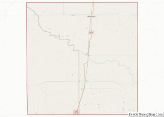
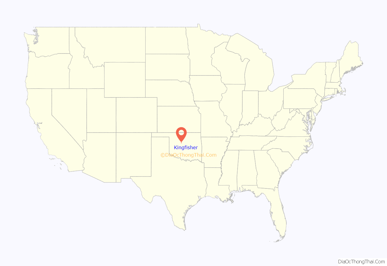
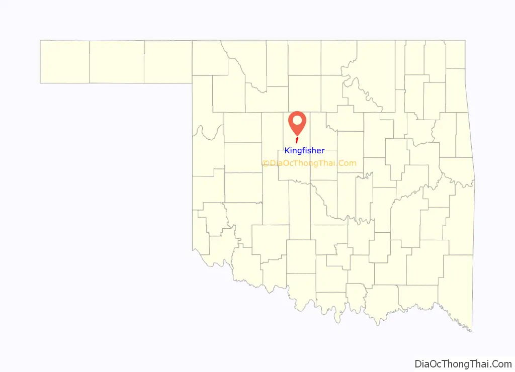
Kingfisher location map. Where is Kingfisher city?
History
Kingfisher came into existence on April 22, 1889, when land owned by the federal government was opened to settlement by “land run”. A huge area in what is now central Oklahoma was literally “peopled” by Americans overnight. The city is situated on a part of the Chisholm Trail, over which millions of Texas longhorns were driven to railheads in Kansas in the years immediately following the Civil War. Extension of the railroads and settlement of the open range ended this colorful era.
The town was named for an early resident who several landmarks were named for, a man named King Fisher.
The bill that opened Oklahoma Territory to non-Indian settlement limited the sizes of townsites to 320 acres (130 ha). Settlers in the Kingfisher area formed two communities: Kingfisher City, on the north side of the settlement, and Lisbon, on the south side. The two merged on June 14, 1890, and the resulting town was named Kingfisher. Oklahoma Territory was organized May 2, 1890, and consisted of the Unassigned Lands and the Panhandle. The Western District included present-day Kingfisher County, part of Canadian County and the Panhandle. Abraham Jefferson Seay, a Missouri native, was appointed as District Judge and moved to Kingfisher. In 1892, Seay was appointed as the second territorial governor by President Benjamin Harrison.
Railroads helped with Kingfisher’s growth: the Chicago, Kansas and Nebraska Railway (later part of the Rock Island) built through the area, the first passenger train arriving on October 23, 1889. In 1900, the Guthrie and Kingfisher Railway — also later part of the Rock Island– built east from Kingfisher, while the Guthrie and Western Railway– an affiliate of the Santa Fe Railroad– built west from Seward, Oklahoma, meeting at a point that became Cashion, Oklahoma, and giving Kingfisher access to the territorial capitol of Guthrie and the Santa Fe system. The Kingfisher to Seward line was abandoned in pieces in 1934 and 1937, but Kingfisher still has freight rail service on what is now the Union Pacific Railroad.
The Kingfisher County Development Foundation was created in 1958 for the purpose of assisting and promoting industrial, economic and civic growth within, and surrounding the Kingfisher area of Oklahoma.A present K.C.D.F. strategy includes the investment for development of the Kingfisher Industrial Park. The industrial park is located just south of Kingfisher, further closing the gap between Oklahoma City and Kingfisher. Kingfisher has quickly become a suburban community of the Oklahoma City Metropolitan Statistical Area, already home to many commuters to Oklahoma City. Kingfisher is a Certified City and has received a Community Development Block Grant to inventory infrastructure features for Capital Improvement Planning (CIP).
On August 19, 2007, the city was 25% flooded when Kingfisher Creek and Uncle John Creek overflowed their banks, the result of heavy rain from Tropical Depression Erin. One woman died in the flood.
The Coleman Company was founded in Kingfisher by W. C. Coleman in 1900.
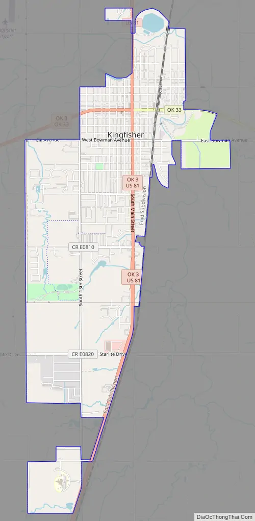
Kingfisher Road Map
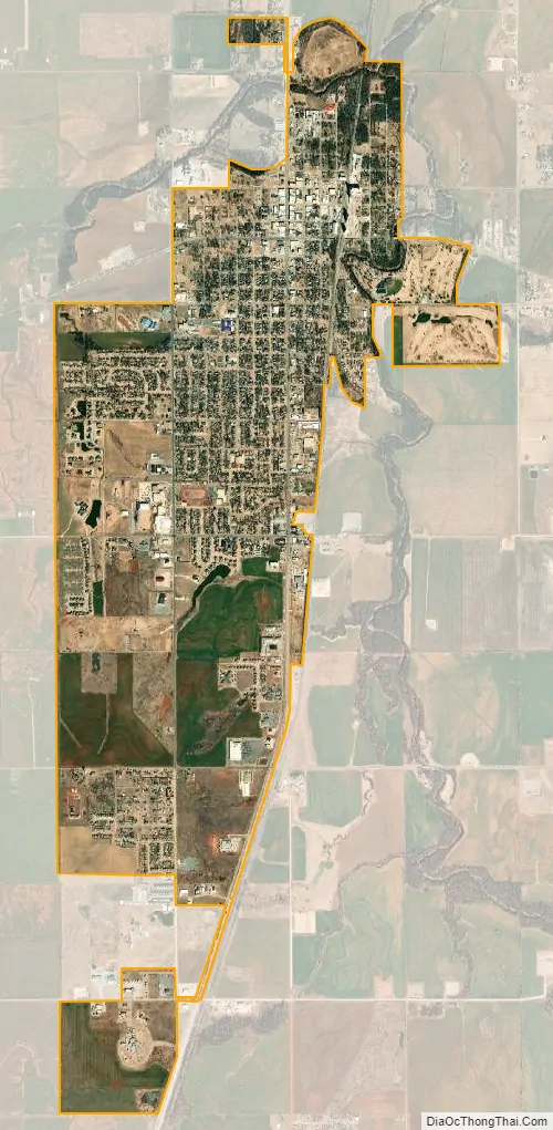
Kingfisher city Satellite Map
Geography
Kingfisher is located south-central Kingfisher County 42 miles (68 km) northwest of Oklahoma City. U.S. Route 81 (Main Street) passes through the center of town, leading north 38 miles (61 km) to Enid and south 23 miles (37 km) to El Reno. Oklahoma State Highway 3 (Broadway Avenue) crosses US 81 in the center of town, leading east 29 miles (47 km) to Guthrie and west 27 miles (43 km) to Watonga.
According to the United States Census Bureau, Kingfisher has a total area of 4.1 square miles (10.6 km), of which 0.04 square miles (0.1 km), or 1.21%, are water. The city is drained by Kingfisher Creek, a northeast-flowing tributary of the Cimarron River.
Climate
See also
Map of Oklahoma State and its subdivision:- Adair
- Alfalfa
- Atoka
- Beaver
- Beckham
- Blaine
- Bryan
- Caddo
- Canadian
- Carter
- Cherokee
- Choctaw
- Cimarron
- Cleveland
- Coal
- Comanche
- Cotton
- Craig
- Creek
- Custer
- Delaware
- Dewey
- Ellis
- Garfield
- Garvin
- Grady
- Grant
- Greer
- Harmon
- Harper
- Haskell
- Hughes
- Jackson
- Jefferson
- Johnston
- Kay
- Kingfisher
- Kiowa
- Latimer
- Le Flore
- Lincoln
- Logan
- Love
- Major
- Marshall
- Mayes
- McClain
- McCurtain
- McIntosh
- Murray
- Muskogee
- Noble
- Nowata
- Okfuskee
- Oklahoma
- Okmulgee
- Osage
- Ottawa
- Pawnee
- Payne
- Pittsburg
- Pontotoc
- Pottawatomie
- Pushmataha
- Roger Mills
- Rogers
- Seminole
- Sequoyah
- Stephens
- Texas
- Tillman
- Tulsa
- Wagoner
- Washington
- Washita
- Woods
- Woodward
- Alabama
- Alaska
- Arizona
- Arkansas
- California
- Colorado
- Connecticut
- Delaware
- District of Columbia
- Florida
- Georgia
- Hawaii
- Idaho
- Illinois
- Indiana
- Iowa
- Kansas
- Kentucky
- Louisiana
- Maine
- Maryland
- Massachusetts
- Michigan
- Minnesota
- Mississippi
- Missouri
- Montana
- Nebraska
- Nevada
- New Hampshire
- New Jersey
- New Mexico
- New York
- North Carolina
- North Dakota
- Ohio
- Oklahoma
- Oregon
- Pennsylvania
- Rhode Island
- South Carolina
- South Dakota
- Tennessee
- Texas
- Utah
- Vermont
- Virginia
- Washington
- West Virginia
- Wisconsin
- Wyoming