Meno is a town in Major County, Oklahoma, United States. The population was 235 at the 2010 census, a 20.5 percent increase from the figure of 195 in 2000.
| Name: | Meno town |
|---|---|
| LSAD Code: | 43 |
| LSAD Description: | town (suffix) |
| State: | Oklahoma |
| County: | Major County |
| Elevation: | 1,345 ft (410 m) |
| Total Area: | 0.19 sq mi (0.50 km²) |
| Land Area: | 0.19 sq mi (0.50 km²) |
| Water Area: | 0.00 sq mi (0.00 km²) |
| Total Population: | 198 |
| Population Density: | 1,031.25/sq mi (398.55/km²) |
| ZIP code: | 73760 |
| Area code: | 580 |
| FIPS code: | 4047750 |
| GNISfeature ID: | 2412983 |
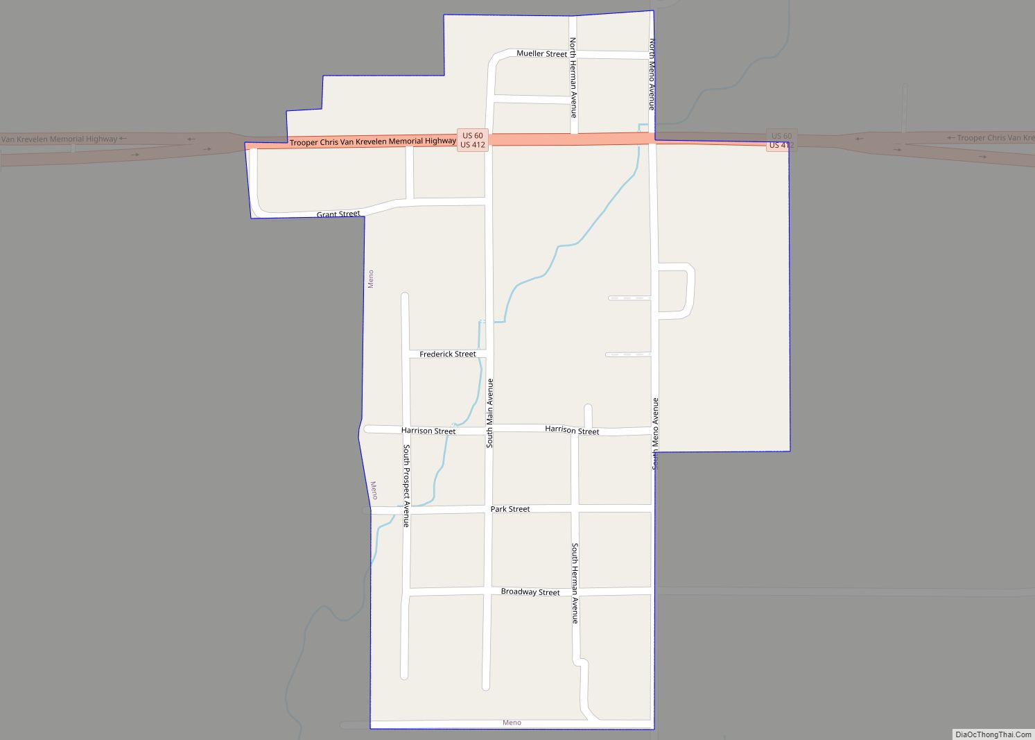
Online Interactive Map
Click on ![]() to view map in "full screen" mode.
to view map in "full screen" mode.
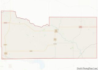
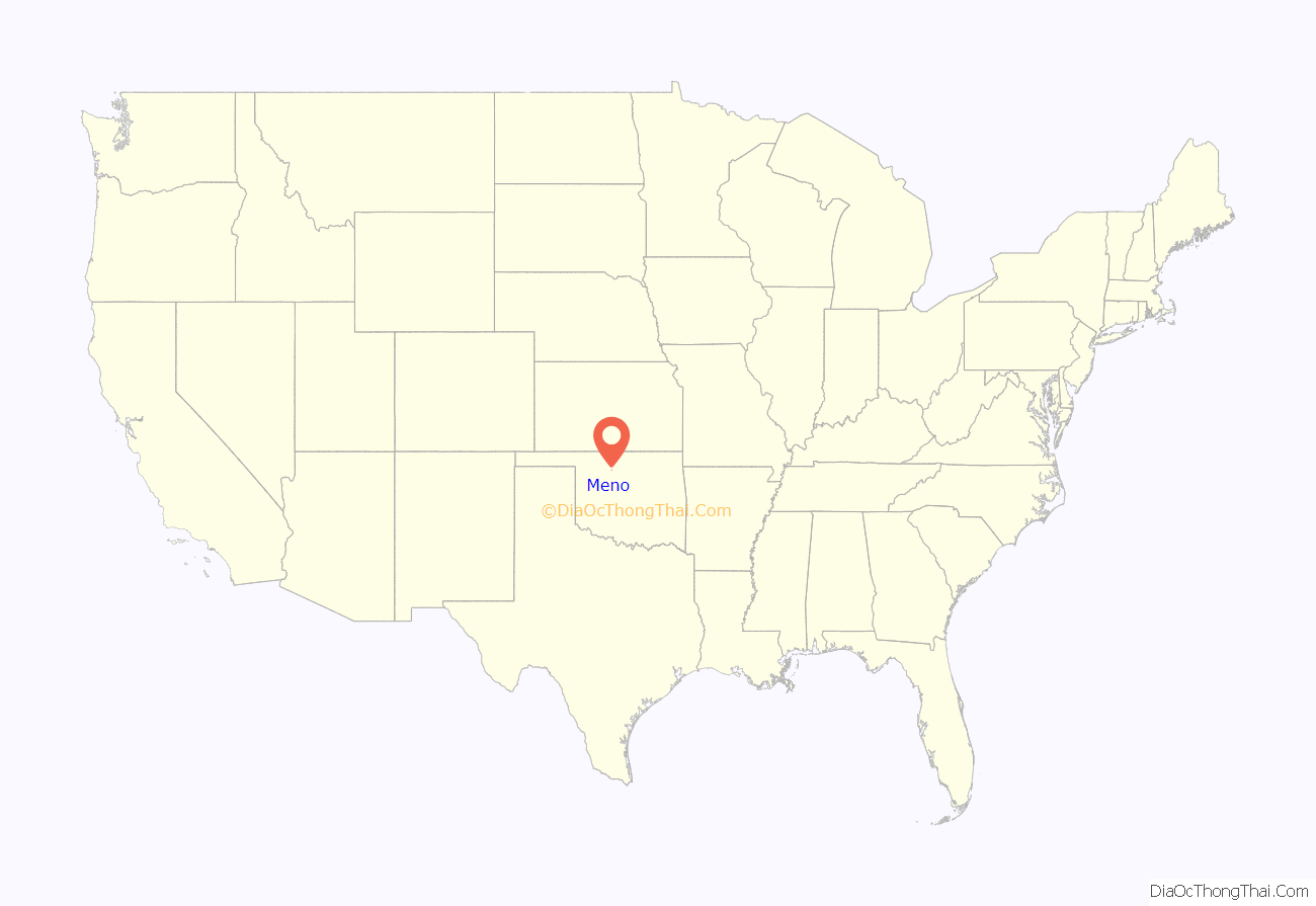
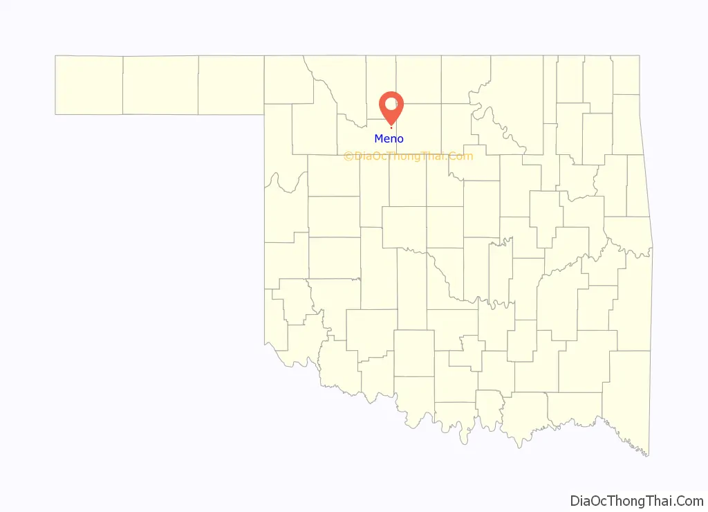
Meno location map. Where is Meno town?
History
The town of Meno is named after Mennonite leader Menno Simons, and was founded on October 19, 1899 by David Koehn, who omitted one “n” when filling out the Post Office application form. Jacob A. Wedel served as the first postmaster. Meno was originally part of Woods county, until statehood in 1907, at which time it fell within Major County. Many of the original inhabitants were Mennonites of Polish and Russian Mennonite descent. who established the New Hopedale Mennonite Church. It was the previous home of Oklahoma Bible Academy, originally established in 1911 by the New Hopedale Mennonite Church as Meno Preparatory School, until it was moved to nearby Enid, Oklahoma in 1983.
In 1901-1902, the Enid and Anadarko Railway (later the Chicago, Rock Island and Pacific Railroad) constructed a line to connect the cities of Enid and Greenfield, which passed through Meno. The first census in 1910 reported 69 residents. By 1918, the town boasted a bank, flour mill, two creameries, and two grain elevators.
Meno now serves as a bedroom community for people who commute to work in the Enid area.
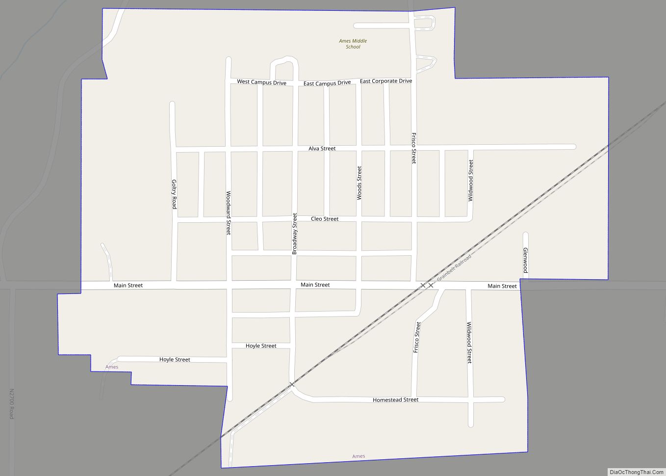
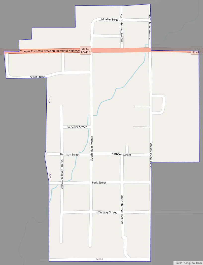
Meno Road Map
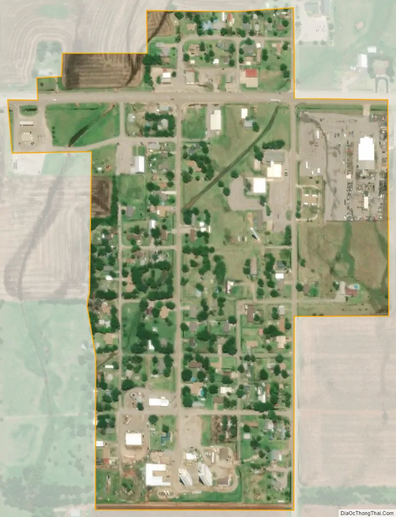
Meno city Satellite Map
Geography
Meno is located 15 miles (24 km) west of Enid.
According to the United States Census Bureau, the town has a total area of 0.2 square miles (0.52 km), all land.
See also
Map of Oklahoma State and its subdivision:- Adair
- Alfalfa
- Atoka
- Beaver
- Beckham
- Blaine
- Bryan
- Caddo
- Canadian
- Carter
- Cherokee
- Choctaw
- Cimarron
- Cleveland
- Coal
- Comanche
- Cotton
- Craig
- Creek
- Custer
- Delaware
- Dewey
- Ellis
- Garfield
- Garvin
- Grady
- Grant
- Greer
- Harmon
- Harper
- Haskell
- Hughes
- Jackson
- Jefferson
- Johnston
- Kay
- Kingfisher
- Kiowa
- Latimer
- Le Flore
- Lincoln
- Logan
- Love
- Major
- Marshall
- Mayes
- McClain
- McCurtain
- McIntosh
- Murray
- Muskogee
- Noble
- Nowata
- Okfuskee
- Oklahoma
- Okmulgee
- Osage
- Ottawa
- Pawnee
- Payne
- Pittsburg
- Pontotoc
- Pottawatomie
- Pushmataha
- Roger Mills
- Rogers
- Seminole
- Sequoyah
- Stephens
- Texas
- Tillman
- Tulsa
- Wagoner
- Washington
- Washita
- Woods
- Woodward
- Alabama
- Alaska
- Arizona
- Arkansas
- California
- Colorado
- Connecticut
- Delaware
- District of Columbia
- Florida
- Georgia
- Hawaii
- Idaho
- Illinois
- Indiana
- Iowa
- Kansas
- Kentucky
- Louisiana
- Maine
- Maryland
- Massachusetts
- Michigan
- Minnesota
- Mississippi
- Missouri
- Montana
- Nebraska
- Nevada
- New Hampshire
- New Jersey
- New Mexico
- New York
- North Carolina
- North Dakota
- Ohio
- Oklahoma
- Oregon
- Pennsylvania
- Rhode Island
- South Carolina
- South Dakota
- Tennessee
- Texas
- Utah
- Vermont
- Virginia
- Washington
- West Virginia
- Wisconsin
- Wyoming