Narcissa is a census-designated place (CDP) in Ottawa County, Oklahoma, United States. The population was 100 at the 2000 census. Narcissa is part of the Joplin, Missouri metropolitan area.
Historic U.S. Route 66 ran through it. The Narcissa D-X Gas Station is listed on the National Register of Historic Places.
| Name: | Narcissa CDP |
|---|---|
| LSAD Code: | 57 |
| LSAD Description: | CDP (suffix) |
| State: | Oklahoma |
| County: | Ottawa County |
| Elevation: | 846 ft (258 m) |
| Total Area: | 4.14 sq mi (10.72 km²) |
| Land Area: | 4.14 sq mi (10.72 km²) |
| Water Area: | 0.00 sq mi (0.00 km²) |
| Total Population: | 92 |
| Population Density: | 22.23/sq mi (8.58/km²) |
| FIPS code: | 4050200 |
| GNISfeature ID: | 1100659 |
Online Interactive Map
Click on ![]() to view map in "full screen" mode.
to view map in "full screen" mode.
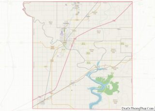
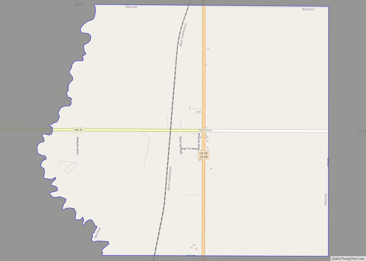
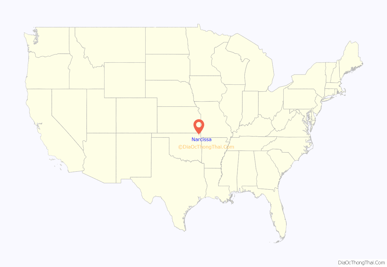
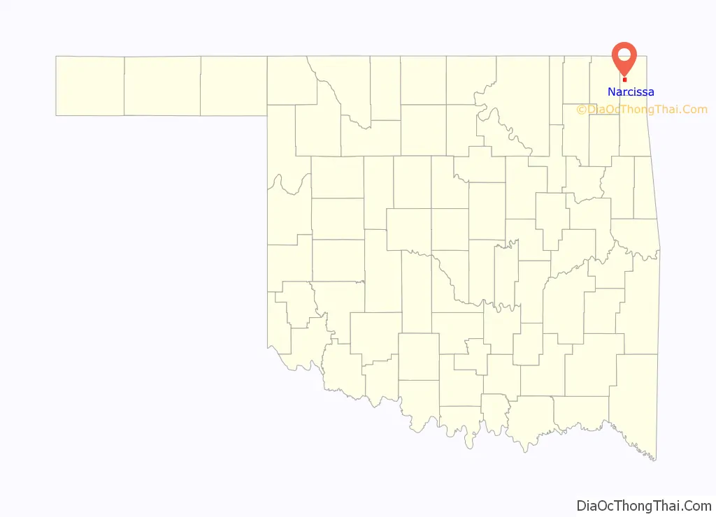
Narcissa location map. Where is Narcissa CDP?
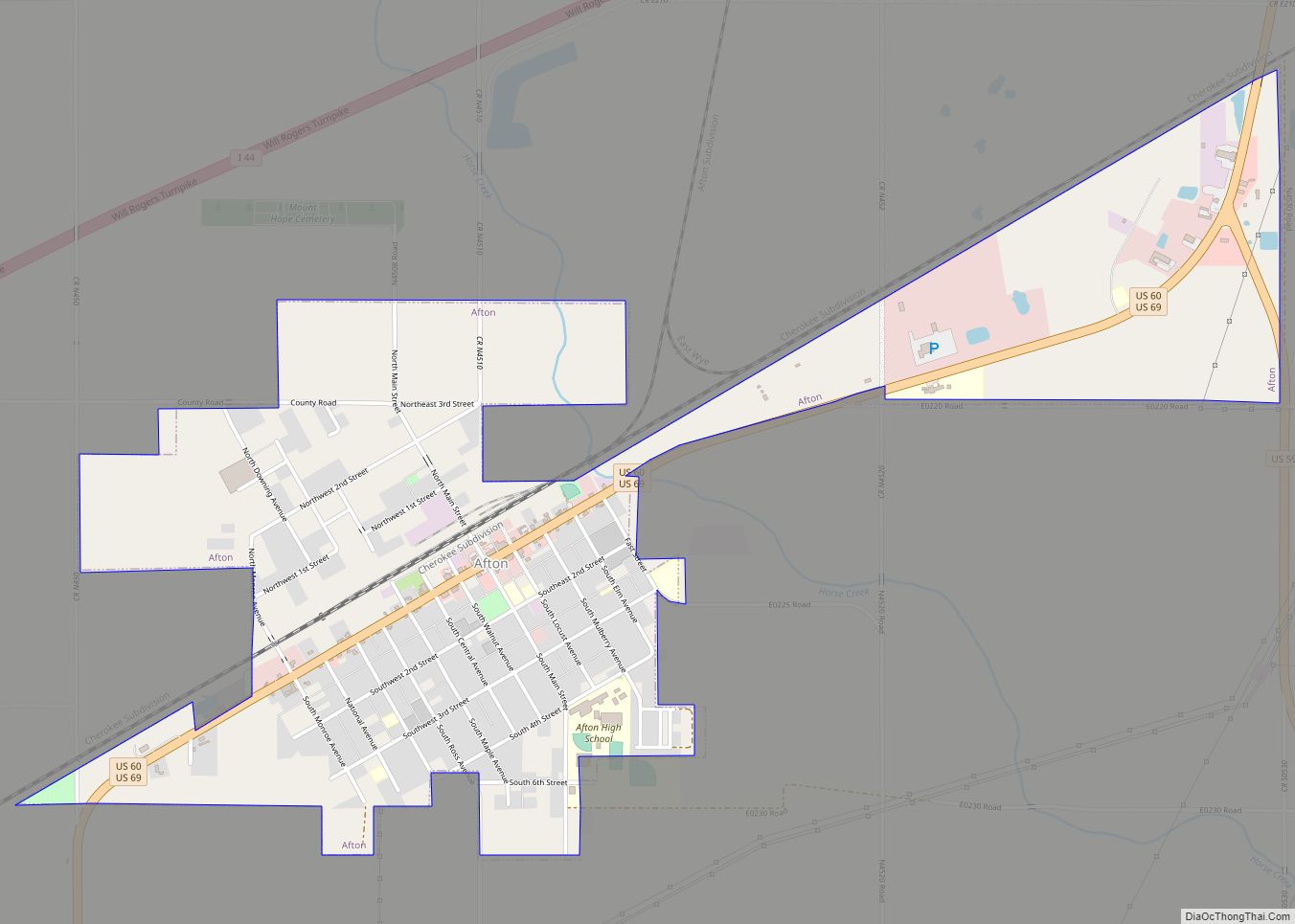
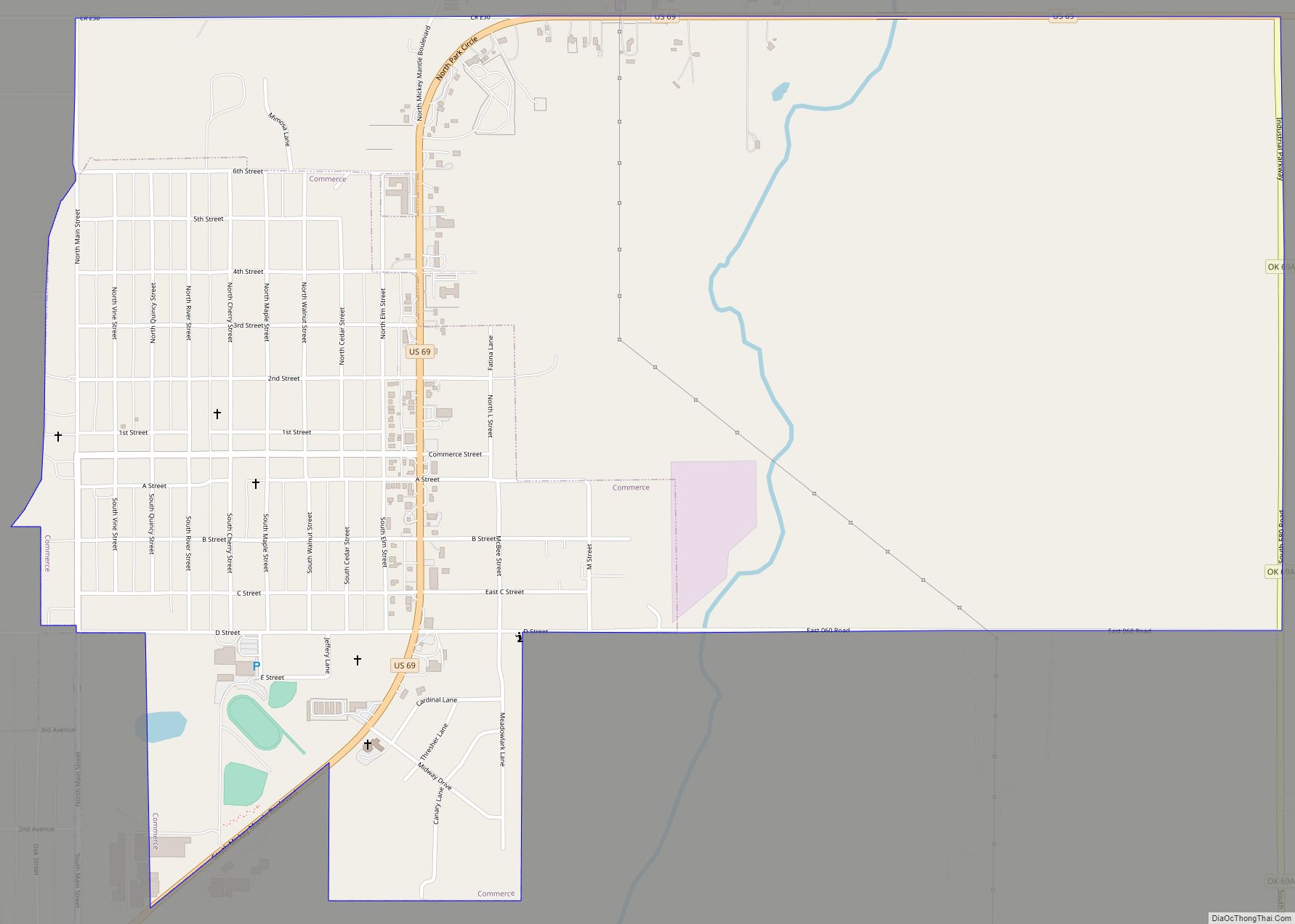
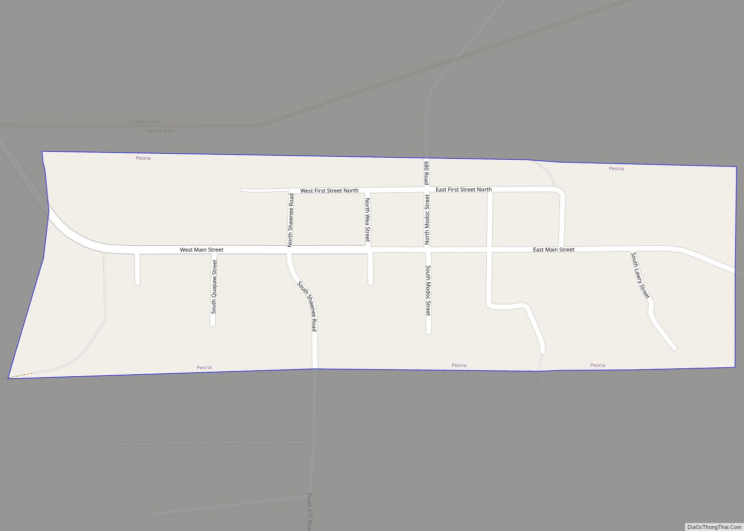
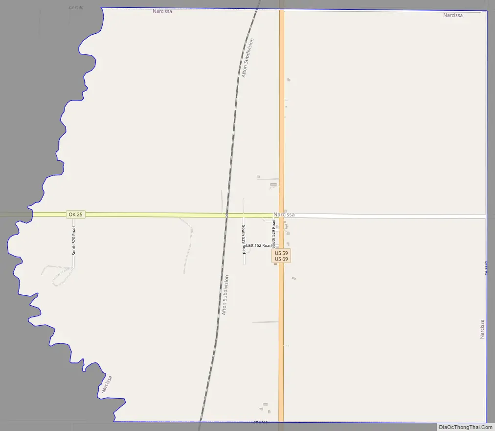
Narcissa Road Map
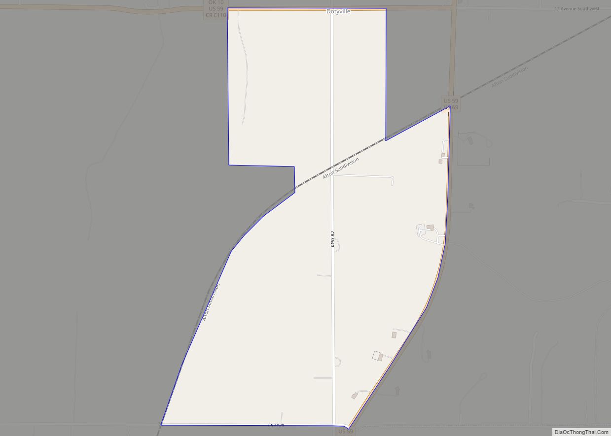
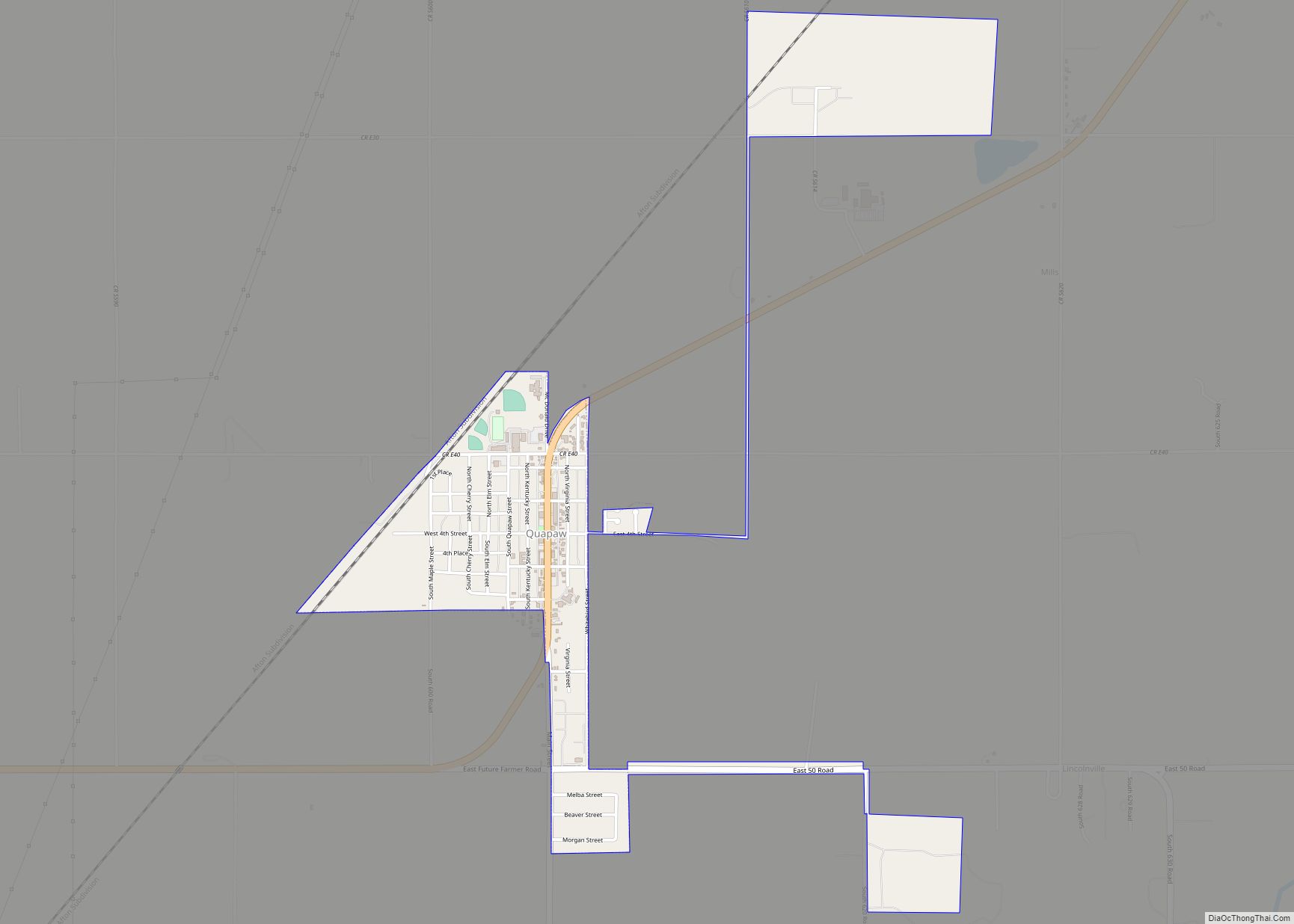
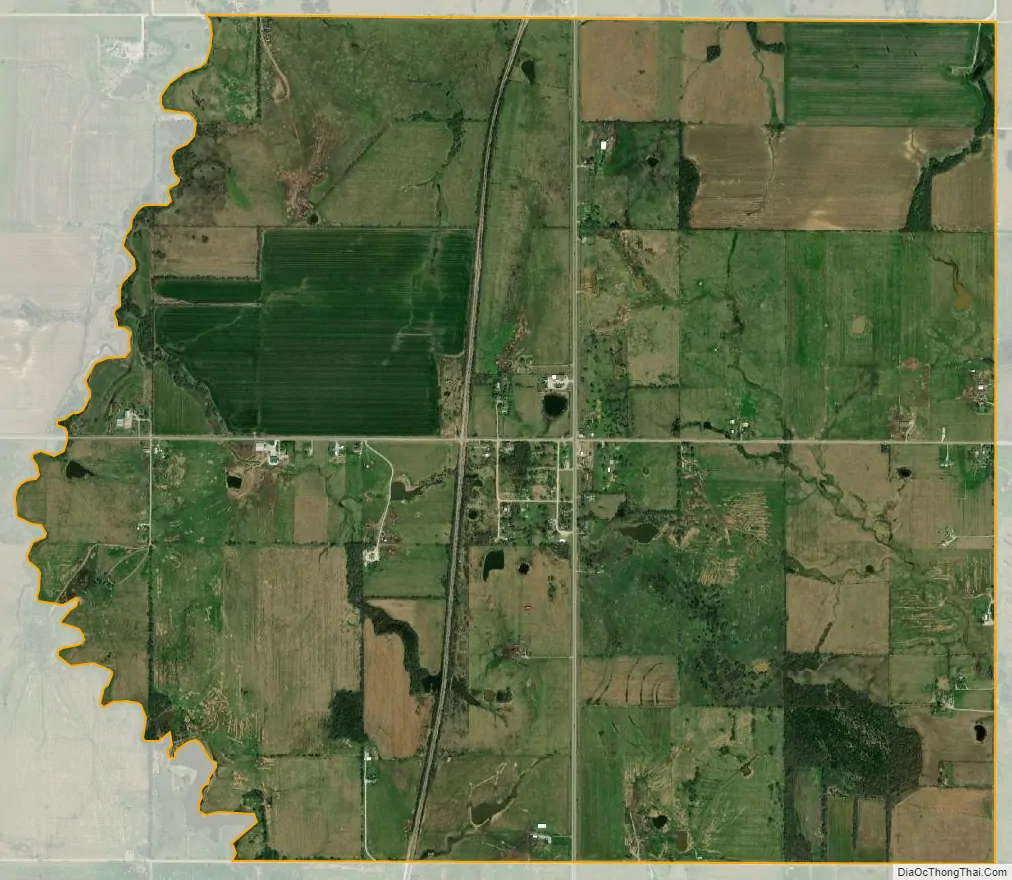
Narcissa city Satellite Map
Geography
Narcissa is located approximately five miles south-southwest of Miami on U.S. Route 66.
According to the United States Census Bureau, the CDP has a total area of 4.1 square miles (11 km), all land.
See also
Map of Oklahoma State and its subdivision:- Adair
- Alfalfa
- Atoka
- Beaver
- Beckham
- Blaine
- Bryan
- Caddo
- Canadian
- Carter
- Cherokee
- Choctaw
- Cimarron
- Cleveland
- Coal
- Comanche
- Cotton
- Craig
- Creek
- Custer
- Delaware
- Dewey
- Ellis
- Garfield
- Garvin
- Grady
- Grant
- Greer
- Harmon
- Harper
- Haskell
- Hughes
- Jackson
- Jefferson
- Johnston
- Kay
- Kingfisher
- Kiowa
- Latimer
- Le Flore
- Lincoln
- Logan
- Love
- Major
- Marshall
- Mayes
- McClain
- McCurtain
- McIntosh
- Murray
- Muskogee
- Noble
- Nowata
- Okfuskee
- Oklahoma
- Okmulgee
- Osage
- Ottawa
- Pawnee
- Payne
- Pittsburg
- Pontotoc
- Pottawatomie
- Pushmataha
- Roger Mills
- Rogers
- Seminole
- Sequoyah
- Stephens
- Texas
- Tillman
- Tulsa
- Wagoner
- Washington
- Washita
- Woods
- Woodward
- Alabama
- Alaska
- Arizona
- Arkansas
- California
- Colorado
- Connecticut
- Delaware
- District of Columbia
- Florida
- Georgia
- Hawaii
- Idaho
- Illinois
- Indiana
- Iowa
- Kansas
- Kentucky
- Louisiana
- Maine
- Maryland
- Massachusetts
- Michigan
- Minnesota
- Mississippi
- Missouri
- Montana
- Nebraska
- Nevada
- New Hampshire
- New Jersey
- New Mexico
- New York
- North Carolina
- North Dakota
- Ohio
- Oklahoma
- Oregon
- Pennsylvania
- Rhode Island
- South Carolina
- South Dakota
- Tennessee
- Texas
- Utah
- Vermont
- Virginia
- Washington
- West Virginia
- Wisconsin
- Wyoming