Orlando is a town in Logan and Payne counties in the U.S. state of Oklahoma. The population was 148 at the 2010 census, compared to the figure of 201 in 2000. It is part of the Oklahoma City Metropolitan Statistical Area.
| Name: | Orlando town |
|---|---|
| LSAD Code: | 43 |
| LSAD Description: | town (suffix) |
| State: | Oklahoma |
| County: | Logan County, Payne County |
| Elevation: | 1,099 ft (335 m) |
| Total Area: | 0.39 sq mi (1.01 km²) |
| Land Area: | 0.39 sq mi (1.01 km²) |
| Water Area: | 0.00 sq mi (0.00 km²) |
| Total Population: | 130 |
| Population Density: | 331.63/sq mi (128.12/km²) |
| ZIP code: | 73073 |
| Area code: | 580 |
| FIPS code: | 4056050 |
| GNISfeature ID: | 1096304 |
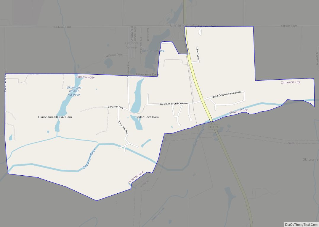
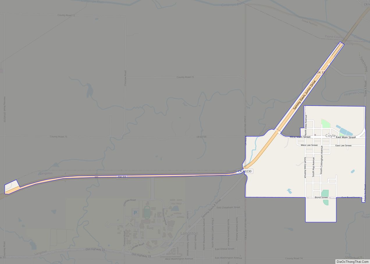
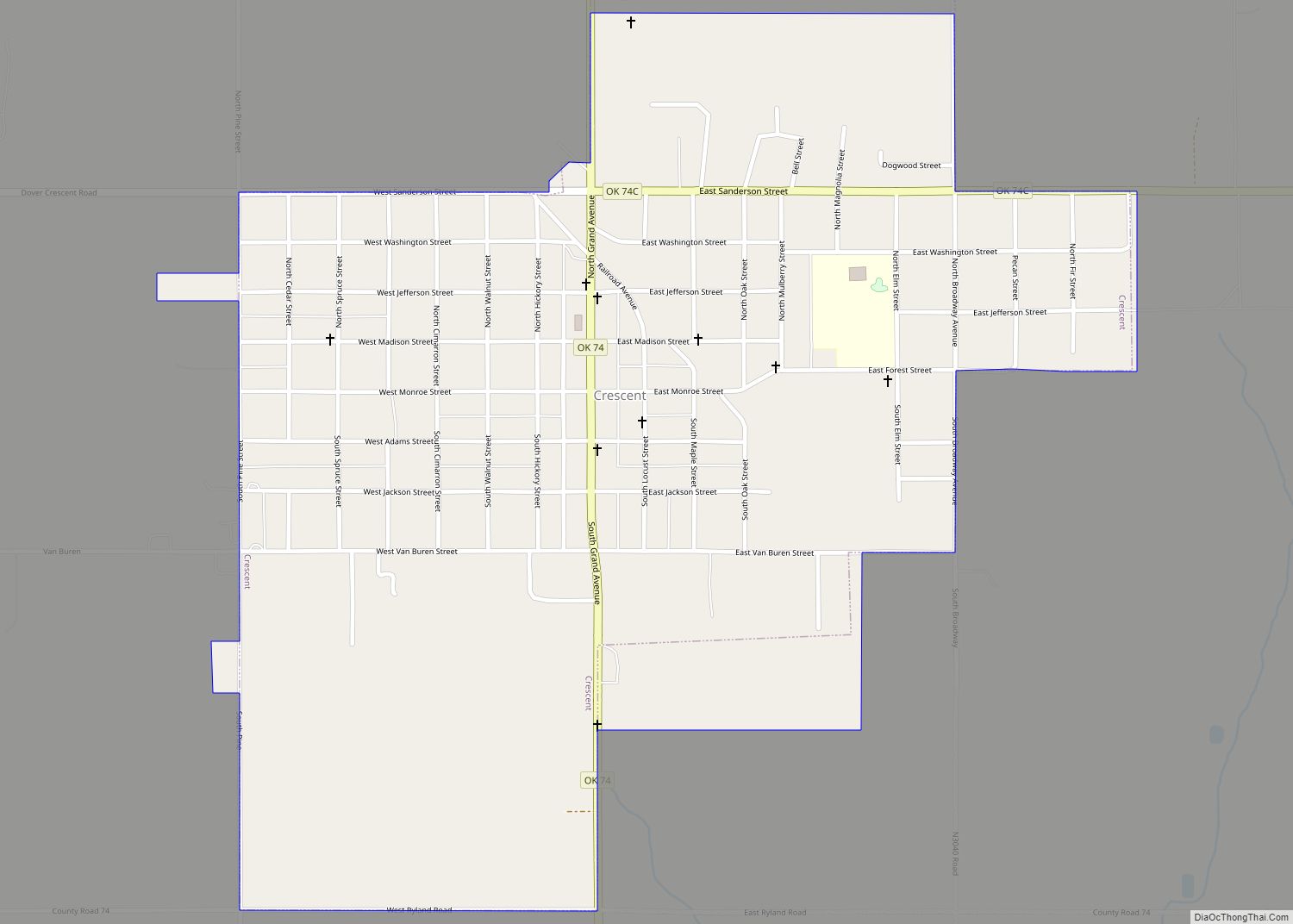
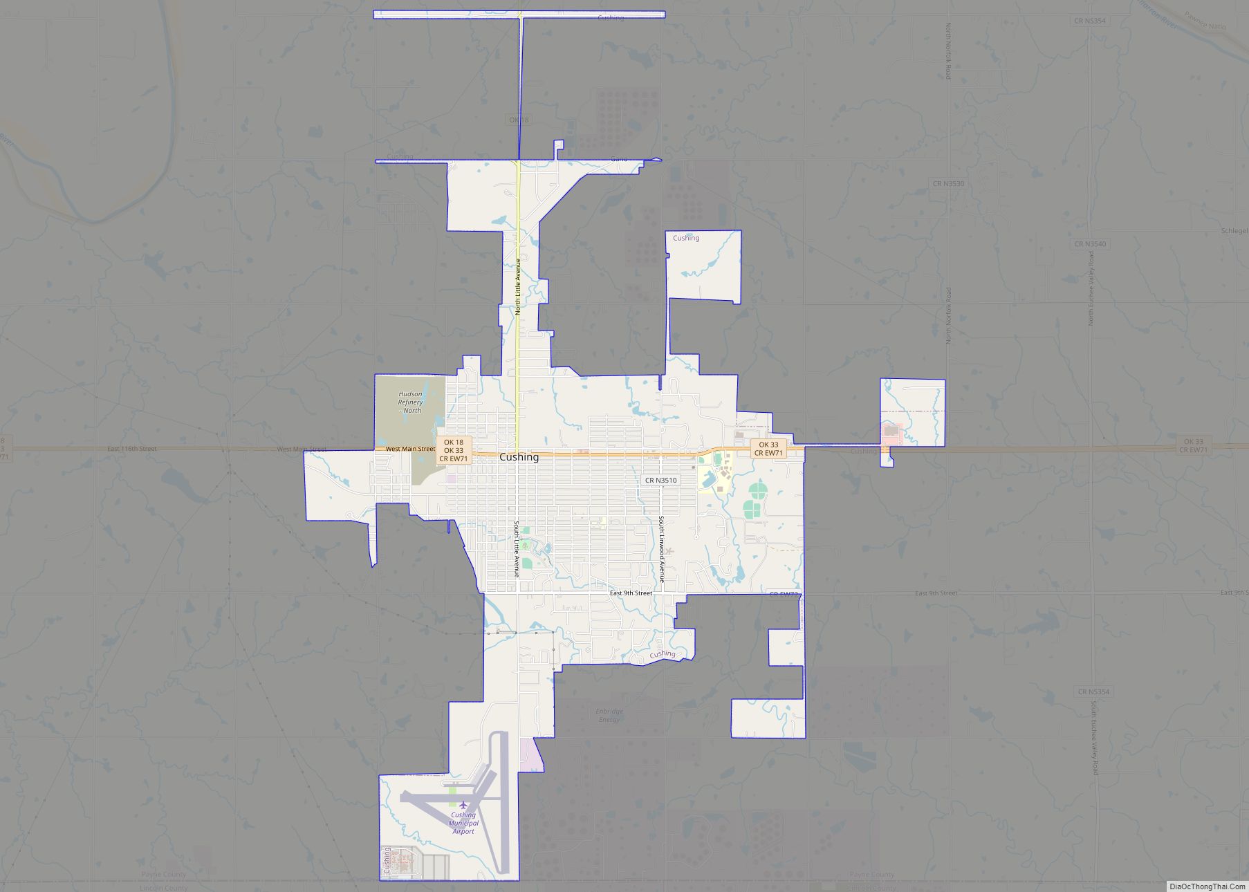
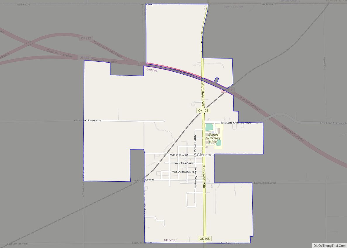
Online Interactive Map
Click on ![]() to view map in "full screen" mode.
to view map in "full screen" mode.
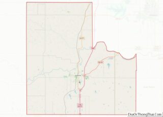
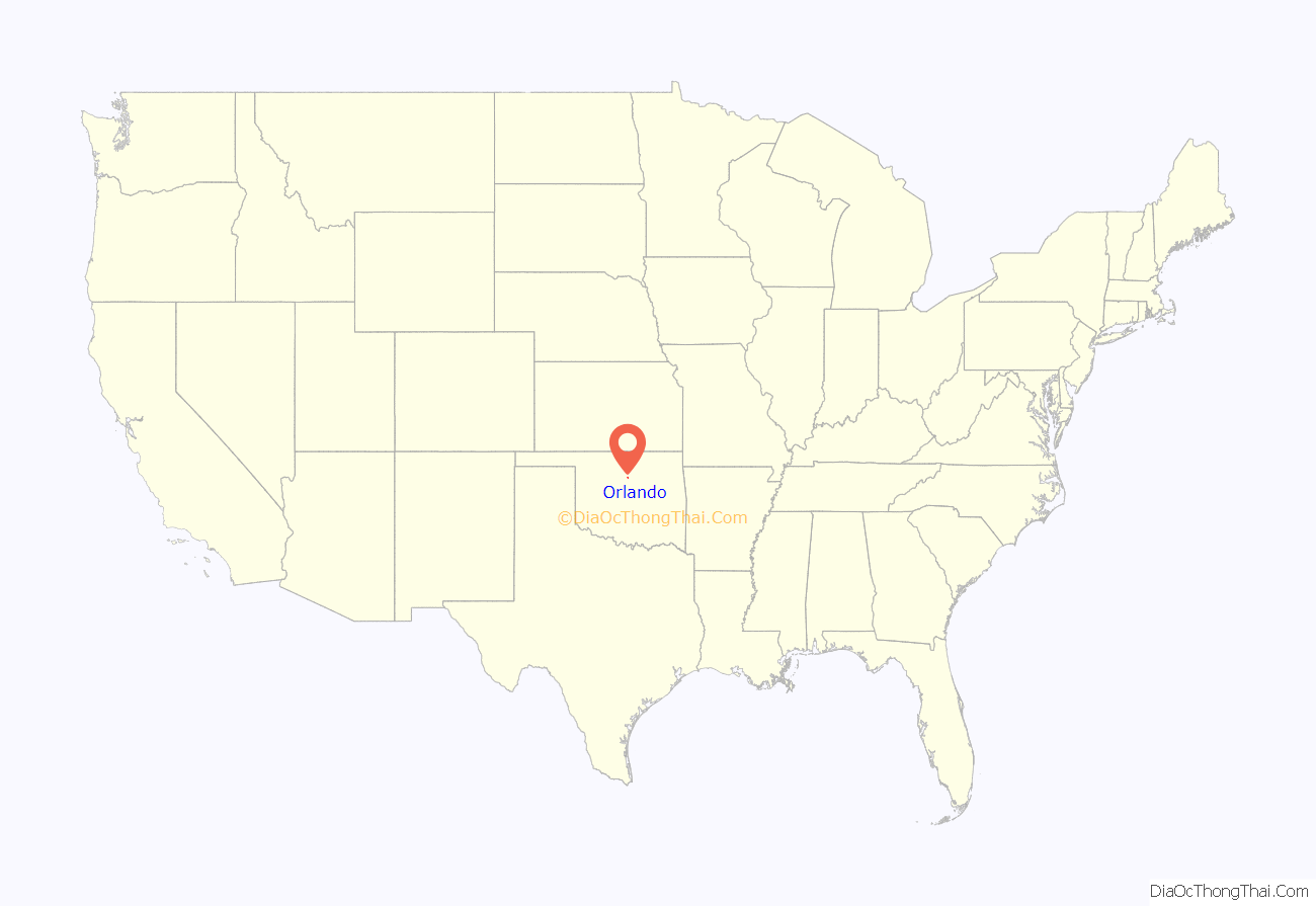
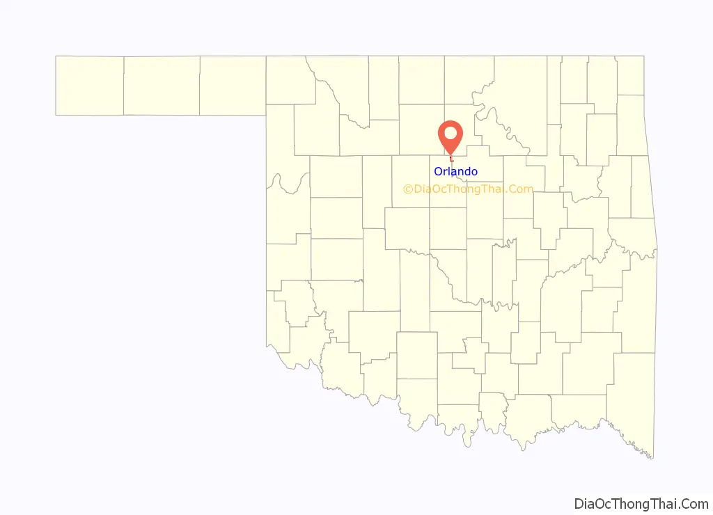
Orlando location map. Where is Orlando town?
History
Before the opening of the Cherokee Outlet for settlement, this community was called Cherokee, but the name was changed to Orlando, when a post office was opened on July 18, 1889.
Early Orlando had a colorful history. In 1892, Oliver Yantis, a member of the Doolin Gang, was wounded and captured outside of the town. He was brought into Orlando, where he died. In 1896, a group of con artists bought some homesteads near the town, salted them with gold nuggets and started a gold rush. Several townspeople lost a great deal of money before the plot was exposed. In 1902, a woman who had bought adulterated kerosene for the lamps in her house. The impure material exploded when she lit the lamps, starting a fire that killed her, two children and spread to several nearby houses.
A 1927 tornado killed two people and destroyed several houses. Construction of Lake Carl Blackwell in the 1930s forced about 100 families that had regularly traded in Orlando to move away.
Passenger train service through Orlando ceased after World War II ended, and construction of I-35 caused the town to lose most of its commercial highway traffic after 1964.
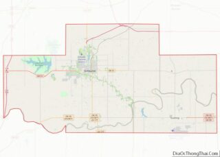
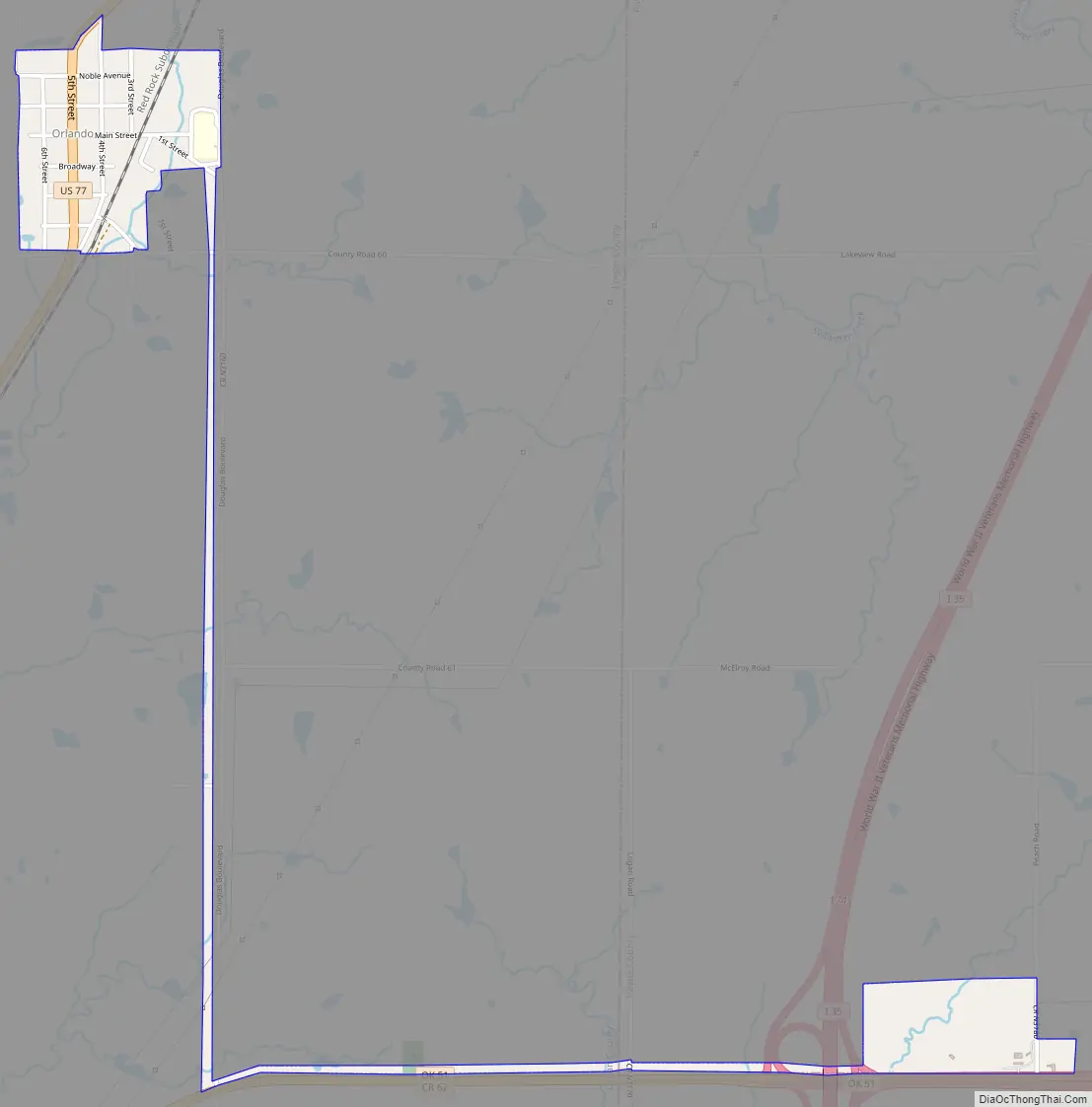
Orlando Road Map
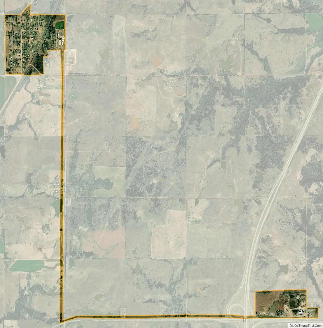
Orlando city Satellite Map
Geography
Orlando is located at 36°8′54″N 97°22′39″W / 36.14833°N 97.37750°W / 36.14833; -97.37750 (36.148267, -97.377512). It is 21 miles (34 km) north of Guthrie, the county seat, 1 mile (1.6 km) west of the Payne County line, and 1 mile (1.6 km) south of the Noble County line. According to the United States Census Bureau, the town has a total area of 0.2 square miles (0.52 km), all land.
See also
Map of Oklahoma State and its subdivision:- Adair
- Alfalfa
- Atoka
- Beaver
- Beckham
- Blaine
- Bryan
- Caddo
- Canadian
- Carter
- Cherokee
- Choctaw
- Cimarron
- Cleveland
- Coal
- Comanche
- Cotton
- Craig
- Creek
- Custer
- Delaware
- Dewey
- Ellis
- Garfield
- Garvin
- Grady
- Grant
- Greer
- Harmon
- Harper
- Haskell
- Hughes
- Jackson
- Jefferson
- Johnston
- Kay
- Kingfisher
- Kiowa
- Latimer
- Le Flore
- Lincoln
- Logan
- Love
- Major
- Marshall
- Mayes
- McClain
- McCurtain
- McIntosh
- Murray
- Muskogee
- Noble
- Nowata
- Okfuskee
- Oklahoma
- Okmulgee
- Osage
- Ottawa
- Pawnee
- Payne
- Pittsburg
- Pontotoc
- Pottawatomie
- Pushmataha
- Roger Mills
- Rogers
- Seminole
- Sequoyah
- Stephens
- Texas
- Tillman
- Tulsa
- Wagoner
- Washington
- Washita
- Woods
- Woodward
- Alabama
- Alaska
- Arizona
- Arkansas
- California
- Colorado
- Connecticut
- Delaware
- District of Columbia
- Florida
- Georgia
- Hawaii
- Idaho
- Illinois
- Indiana
- Iowa
- Kansas
- Kentucky
- Louisiana
- Maine
- Maryland
- Massachusetts
- Michigan
- Minnesota
- Mississippi
- Missouri
- Montana
- Nebraska
- Nevada
- New Hampshire
- New Jersey
- New Mexico
- New York
- North Carolina
- North Dakota
- Ohio
- Oklahoma
- Oregon
- Pennsylvania
- Rhode Island
- South Carolina
- South Dakota
- Tennessee
- Texas
- Utah
- Vermont
- Virginia
- Washington
- West Virginia
- Wisconsin
- Wyoming