Panama is a town in Le Flore County, Oklahoma, United States. It is part of the Fort Smith, Arkansas-Oklahoma Metropolitan Statistical Area. The population was 1,413 at the 2010 census.
| Name: | Panama town |
|---|---|
| LSAD Code: | 43 |
| LSAD Description: | town (suffix) |
| State: | Oklahoma |
| County: | Le Flore County |
| Elevation: | 453 ft (138 m) |
| Total Area: | 2.28 sq mi (5.92 km²) |
| Land Area: | 2.26 sq mi (5.85 km²) |
| Water Area: | 0.03 sq mi (0.07 km²) |
| Total Population: | 1,269 |
| Population Density: | 561.75/sq mi (216.86/km²) |
| ZIP code: | 74951 |
| Area code: | 539/918 |
| FIPS code: | 4056900 |
| GNISfeature ID: | 1096393 |
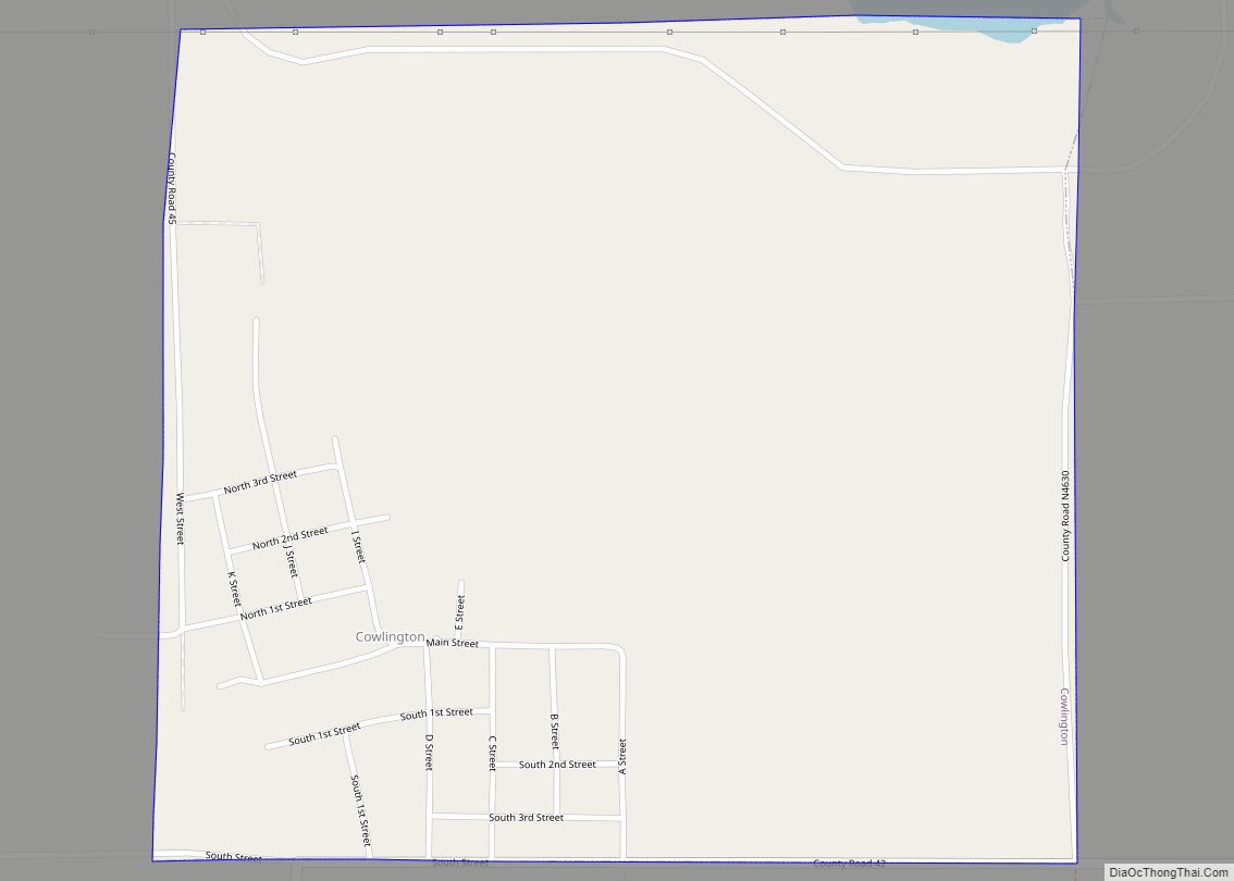
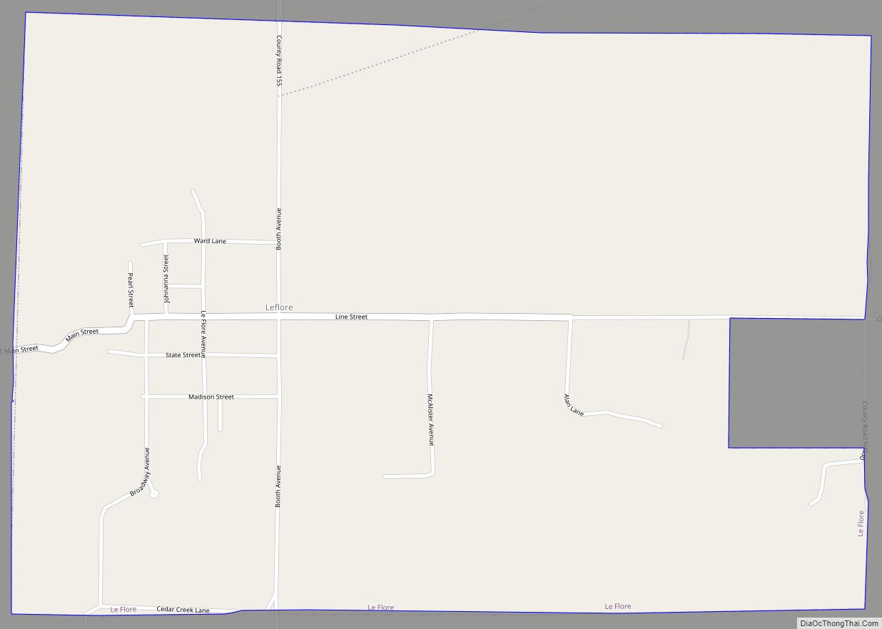
Online Interactive Map
Click on ![]() to view map in "full screen" mode.
to view map in "full screen" mode.
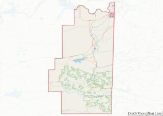
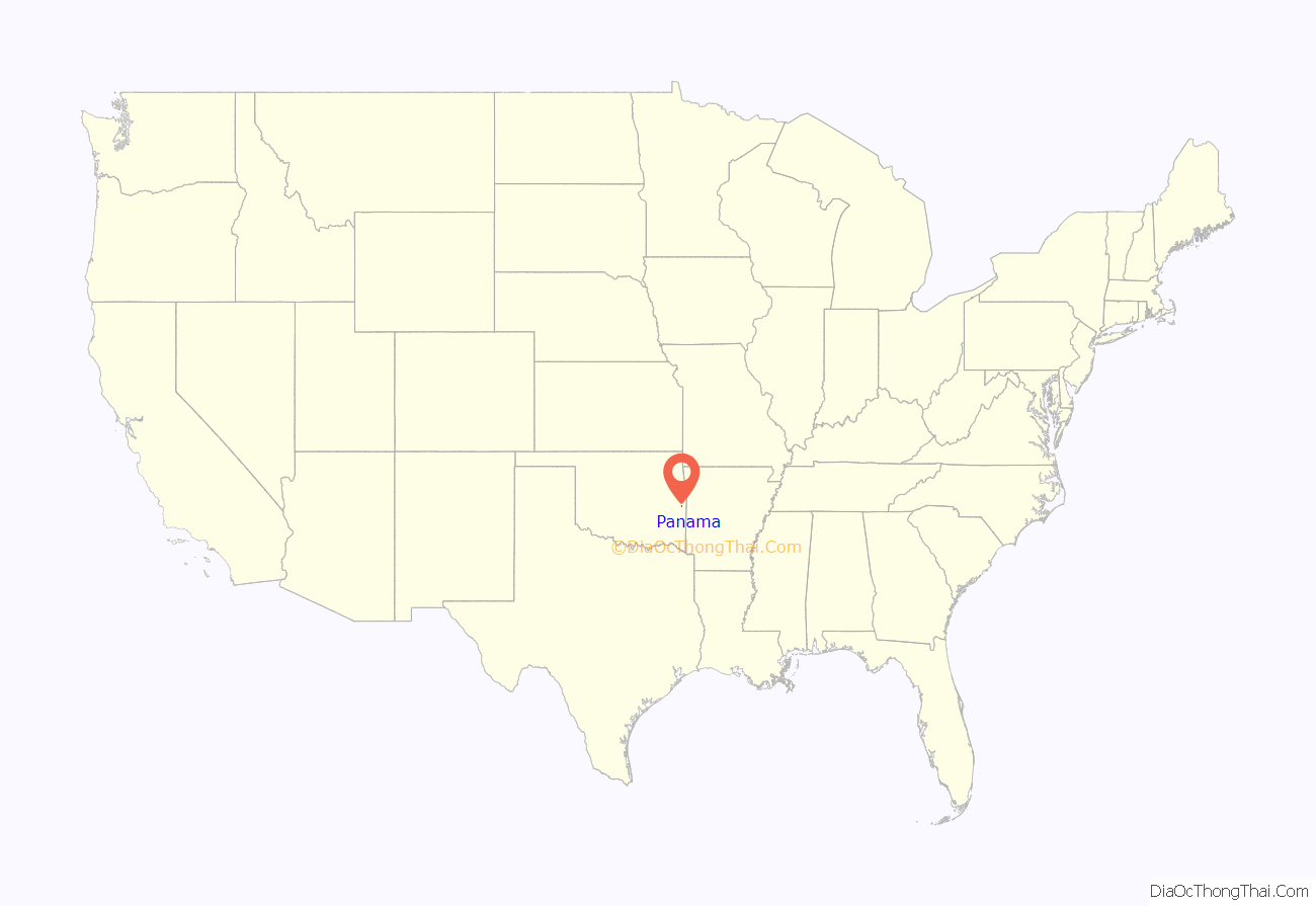
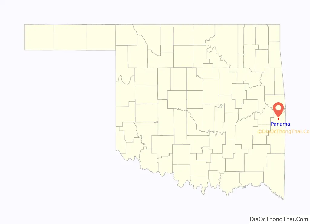
Panama location map. Where is Panama town?
History
A post office was established at Panama, Indian Territory on January 14, 1898. At the time of its founding, Panama was located in Skullyville County, part of the Moshulatubbee District of the Choctaw Nation.
This town began as a coal mining community named Red Town because all of the miners’ shacks were painted red. The origin of the town name of “Panama” is uncertain. Some historians claim that the name was inspired by the building of the Panama Canal. But since the town was already called Panama by 1898, the inspiration would have to have been based on the unsuccessful French effort at building the canal which started 1881 and ended in 1889, and not the successful American effort which did not start until 1904 and was not completed until 1914. In 1896 the Kansas City, Pittsburg and Gulf Railroad (trackage acquired by the Kansas City Southern Railway in 1900) built a north–south line through the region. The Midland Valley Railroad built an east–west line through the region in 1903–1904. The town of Panama moved to the crossing of the two railroads. The Panama post office first opened January 14, 1898, but the order was rescinded for some unknown reason on February 23, 1898. The post office reopened February 21, 1899.
Panama was still supported by coal mining in 1930. The Ozark Coal and Mining Company had established itself there in 1898, however the coal mines began to close in the 1930s. A creosote plant, established in 1937, provided some jobs for the former miners. The Panama Coal Company, which had engaged in strip mining, went bankrupt in 1977.
Panama Road Map
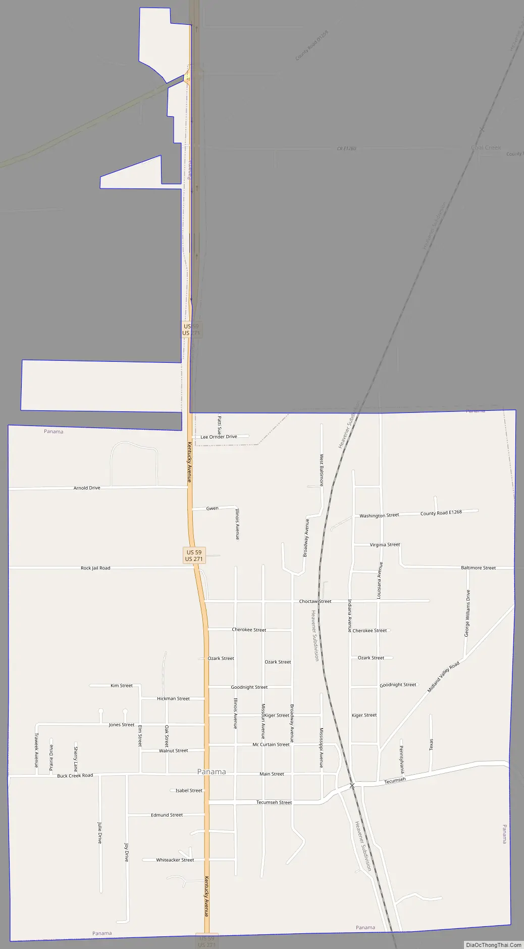
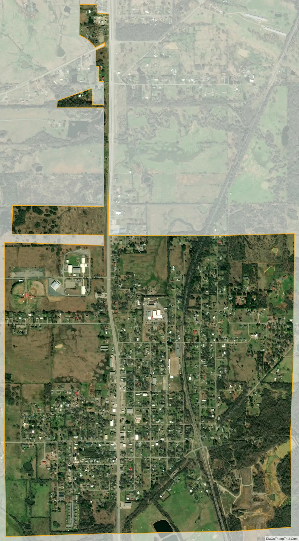
Panama city Satellite Map
Geography
Panama is located at 35°10′14″N 94°40′12″W / 35.17056°N 94.67000°W / 35.17056; -94.67000 (35.170591, -94.670099). It is 9 miles (14 km) north of Poteau on State Highway 59.
According to the United States Census Bureau, the town has a total area of 1.5 square miles (3.9 km), of which 0.66% is water.
See also
Map of Oklahoma State and its subdivision:- Adair
- Alfalfa
- Atoka
- Beaver
- Beckham
- Blaine
- Bryan
- Caddo
- Canadian
- Carter
- Cherokee
- Choctaw
- Cimarron
- Cleveland
- Coal
- Comanche
- Cotton
- Craig
- Creek
- Custer
- Delaware
- Dewey
- Ellis
- Garfield
- Garvin
- Grady
- Grant
- Greer
- Harmon
- Harper
- Haskell
- Hughes
- Jackson
- Jefferson
- Johnston
- Kay
- Kingfisher
- Kiowa
- Latimer
- Le Flore
- Lincoln
- Logan
- Love
- Major
- Marshall
- Mayes
- McClain
- McCurtain
- McIntosh
- Murray
- Muskogee
- Noble
- Nowata
- Okfuskee
- Oklahoma
- Okmulgee
- Osage
- Ottawa
- Pawnee
- Payne
- Pittsburg
- Pontotoc
- Pottawatomie
- Pushmataha
- Roger Mills
- Rogers
- Seminole
- Sequoyah
- Stephens
- Texas
- Tillman
- Tulsa
- Wagoner
- Washington
- Washita
- Woods
- Woodward
- Alabama
- Alaska
- Arizona
- Arkansas
- California
- Colorado
- Connecticut
- Delaware
- District of Columbia
- Florida
- Georgia
- Hawaii
- Idaho
- Illinois
- Indiana
- Iowa
- Kansas
- Kentucky
- Louisiana
- Maine
- Maryland
- Massachusetts
- Michigan
- Minnesota
- Mississippi
- Missouri
- Montana
- Nebraska
- Nevada
- New Hampshire
- New Jersey
- New Mexico
- New York
- North Carolina
- North Dakota
- Ohio
- Oklahoma
- Oregon
- Pennsylvania
- Rhode Island
- South Carolina
- South Dakota
- Tennessee
- Texas
- Utah
- Vermont
- Virginia
- Washington
- West Virginia
- Wisconsin
- Wyoming