Peoria is a town in Ottawa County, Oklahoma, United States. It was named for the Peoria people, a tribe of Native Americans who were removed to Indian Territory from east of the Mississippi River during the 19th century. The territory had been occupied by the Quapaw people, who sold some of their land to the Peoria.
The population was 131 at the 2010 U. S. Census, down from 141 at the 2000 census. The long decline of mining meant that jobs moved elsewhere. Peoria is part of the Joplin, Missouri metropolitan area.
| Name: | Peoria town |
|---|---|
| LSAD Code: | 43 |
| LSAD Description: | town (suffix) |
| State: | Oklahoma |
| County: | Ottawa County |
| Elevation: | 879 ft (268 m) |
| Total Area: | 0.24 sq mi (0.63 km²) |
| Land Area: | 0.24 sq mi (0.63 km²) |
| Water Area: | 0.00 sq mi (0.00 km²) |
| Total Population: | 126 |
| Population Density: | 518.52/sq mi (200.43/km²) |
| ZIP code: | 74363 |
| Area code: | 539/918 |
| FIPS code: | 4058100 |
| GNISfeature ID: | 1096547 |
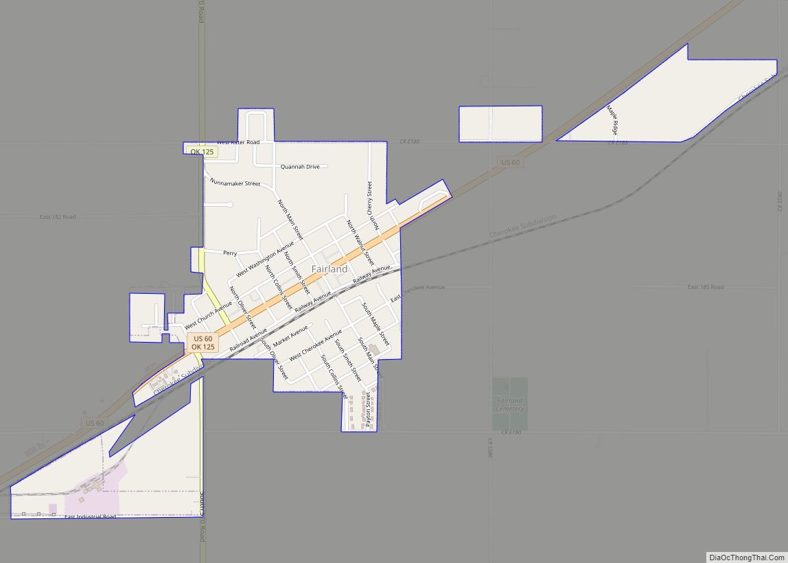
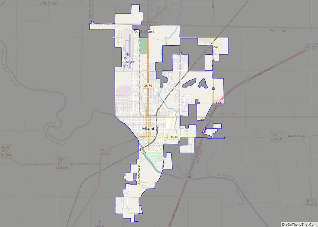
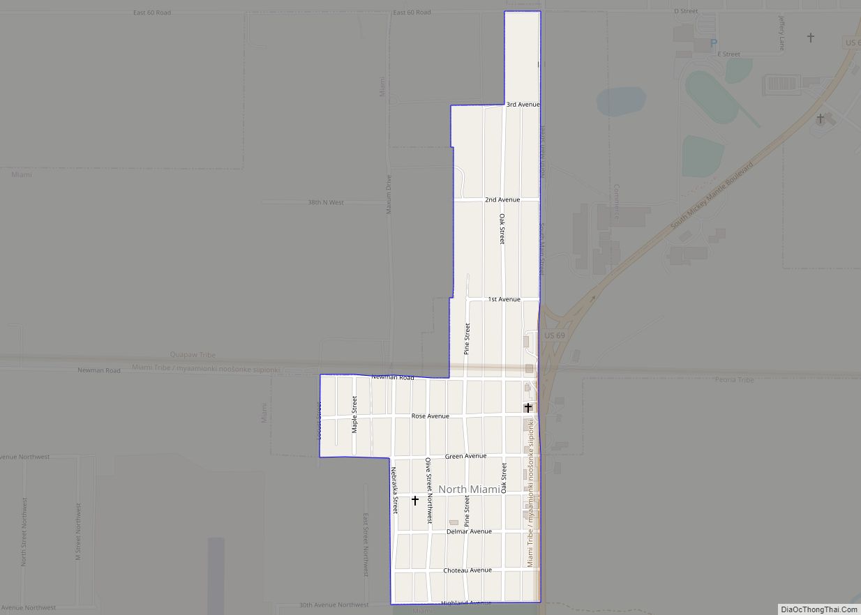
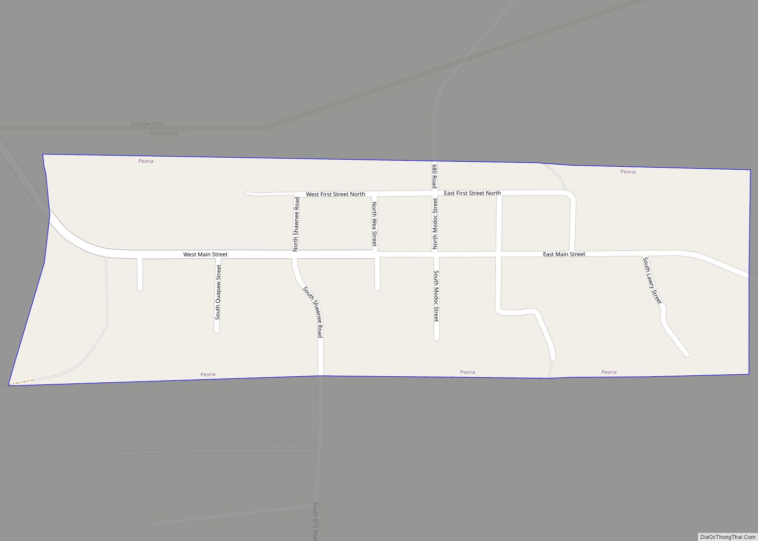
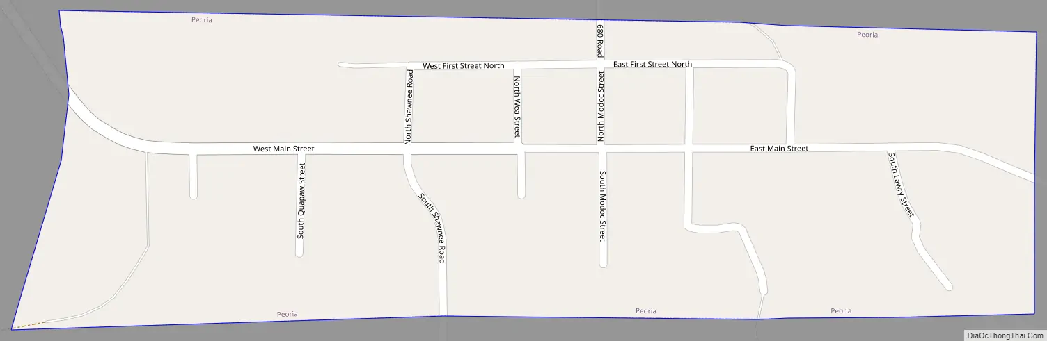
Online Interactive Map
Click on ![]() to view map in "full screen" mode.
to view map in "full screen" mode.
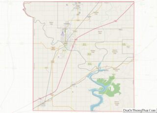
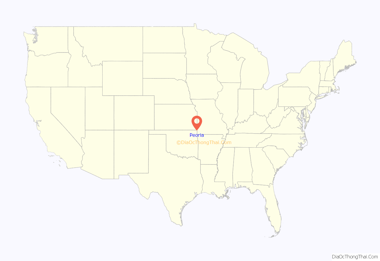
Peoria location map. Where is Peoria town?
History
The area of northeastern Oklahoma around Peoria has long been associated with mineral extraction. The Native Americans had operated a chert quarry here well before the area was visited by Europeans. This was part of the territory of the Quapaw people, and later the Peoria and related remnant tribes.
Peoria began developing in 1891 as a mining camp for the Tri-State District, made up of parts of southwest Missouri, southeast Kansas, and northeast Indian Territory, now Oklahoma. A post office was opened in 1891 and named to honor the Peoria tribe. These lead and zinc mines were most productive between 1891 and 1896. In 1897, ore production began moving farther north in Ottawa County. In 1894 William Holmes conducted the first professional archaeological study in the future state at this site. Peoria incorporated in 1898.
Peoria’s population declined as mining moved out of the area. A few mines continued small-scale production until the mid 1940s. The post office closed in 1941. The Peoria school district consolidated with that of Quapaw in 1970.
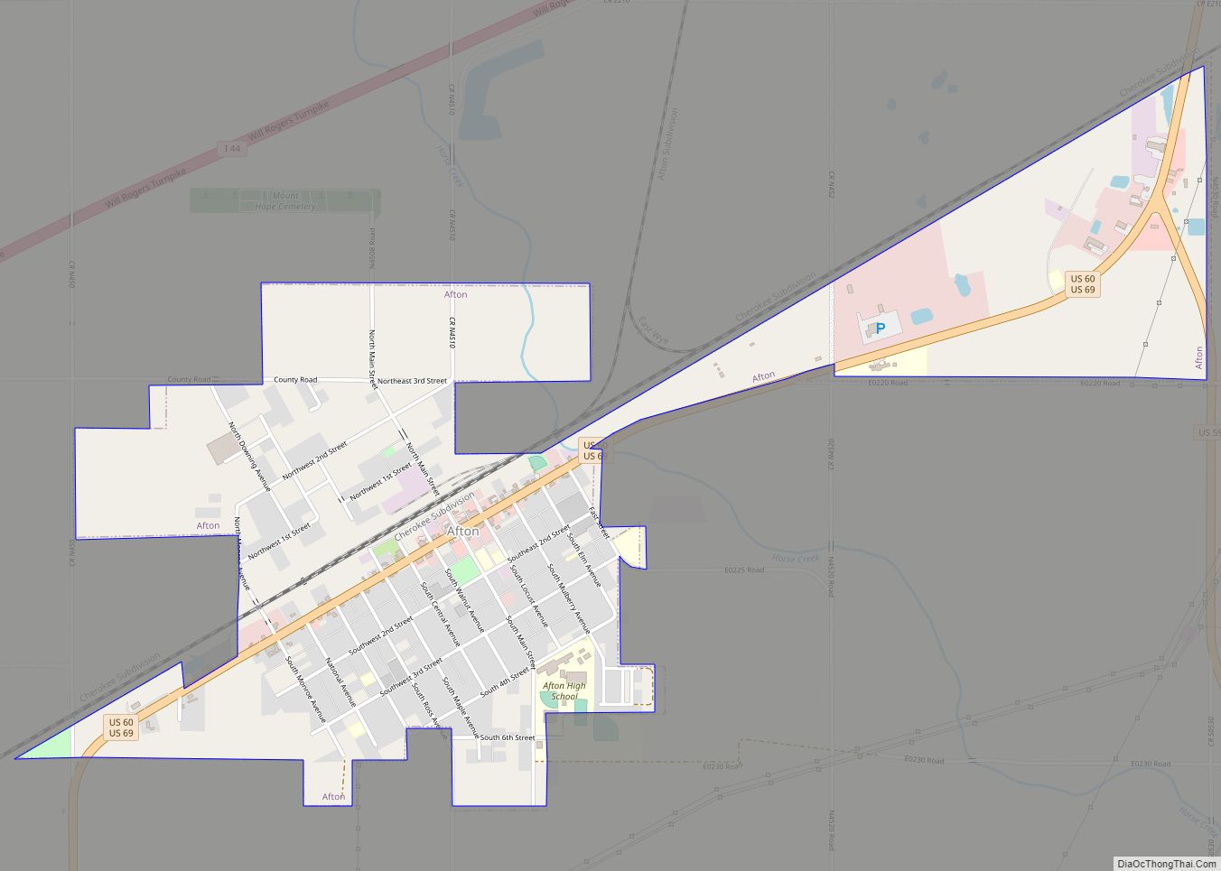
Peoria Road Map
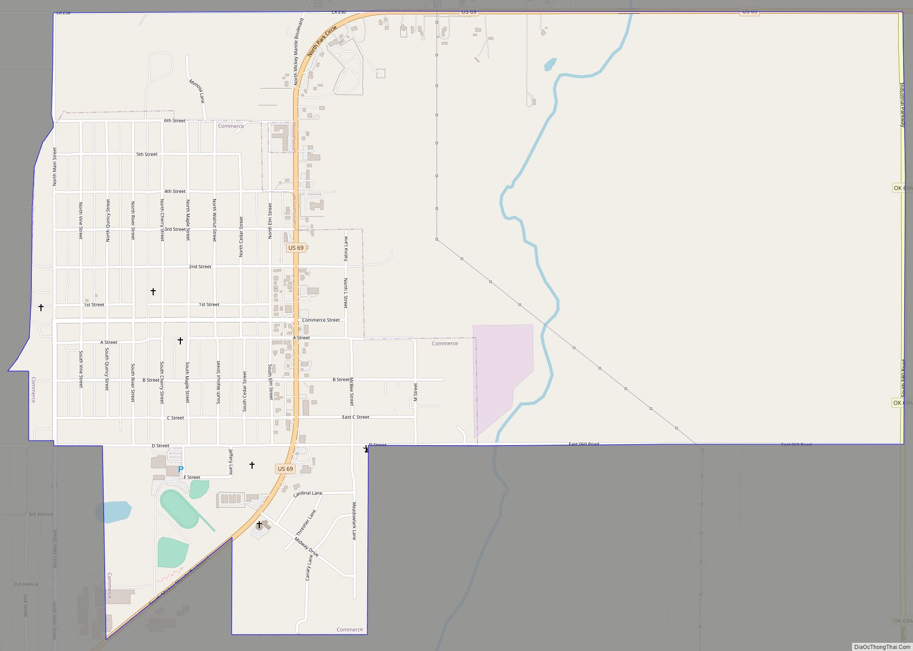
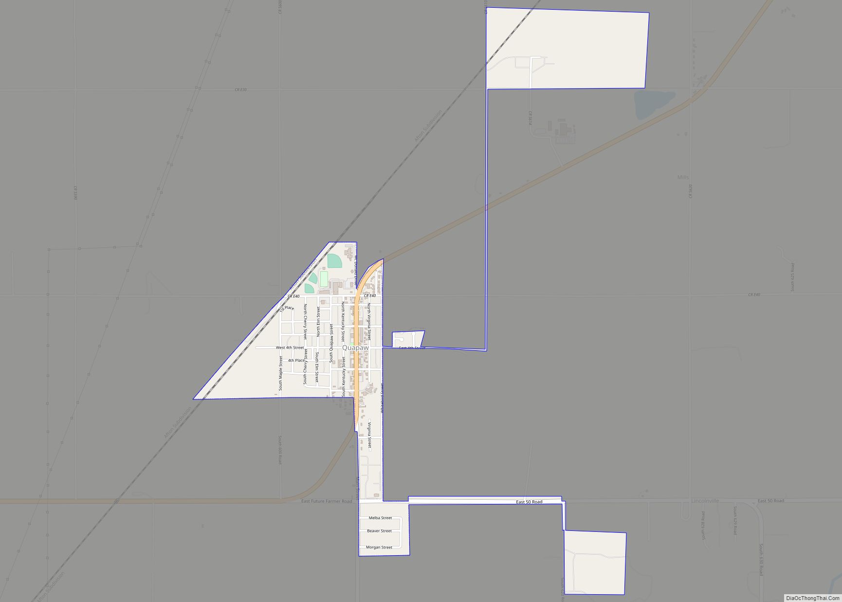
Peoria city Satellite Map

Geography
The town is about 14.8 driving miles east-northeast of Miami, Oklahoma in the far northeastern corner of the state. It is 3.1 driving miles west of the Missouri border and 7.6 driving miles south of the Kansas border.
According to the United States Census Bureau, the town has a total area of 0.2 square miles (0.52 km), all land.
See also
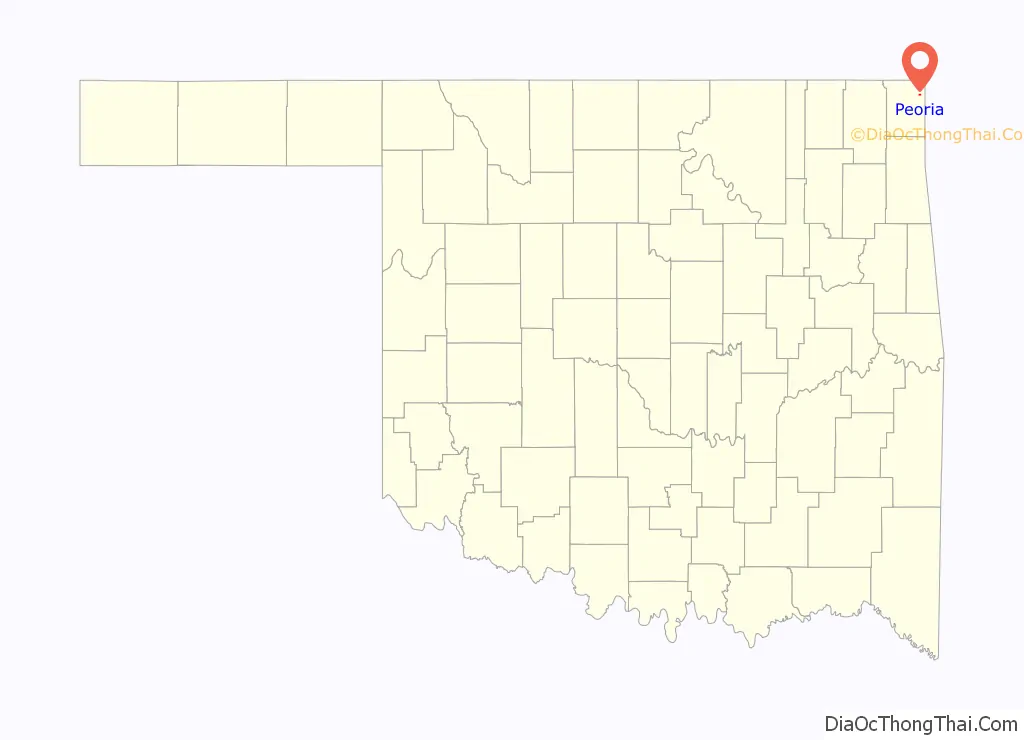
Map of Oklahoma State and its subdivision:- Adair
- Alfalfa
- Atoka
- Beaver
- Beckham
- Blaine
- Bryan
- Caddo
- Canadian
- Carter
- Cherokee
- Choctaw
- Cimarron
- Cleveland
- Coal
- Comanche
- Cotton
- Craig
- Creek
- Custer
- Delaware
- Dewey
- Ellis
- Garfield
- Garvin
- Grady
- Grant
- Greer
- Harmon
- Harper
- Haskell
- Hughes
- Jackson
- Jefferson
- Johnston
- Kay
- Kingfisher
- Kiowa
- Latimer
- Le Flore
- Lincoln
- Logan
- Love
- Major
- Marshall
- Mayes
- McClain
- McCurtain
- McIntosh
- Murray
- Muskogee
- Noble
- Nowata
- Okfuskee
- Oklahoma
- Okmulgee
- Osage
- Ottawa
- Pawnee
- Payne
- Pittsburg
- Pontotoc
- Pottawatomie
- Pushmataha
- Roger Mills
- Rogers
- Seminole
- Sequoyah
- Stephens
- Texas
- Tillman
- Tulsa
- Wagoner
- Washington
- Washita
- Woods
- Woodward
- Alabama
- Alaska
- Arizona
- Arkansas
- California
- Colorado
- Connecticut
- Delaware
- District of Columbia
- Florida
- Georgia
- Hawaii
- Idaho
- Illinois
- Indiana
- Iowa
- Kansas
- Kentucky
- Louisiana
- Maine
- Maryland
- Massachusetts
- Michigan
- Minnesota
- Mississippi
- Missouri
- Montana
- Nebraska
- Nevada
- New Hampshire
- New Jersey
- New Mexico
- New York
- North Carolina
- North Dakota
- Ohio
- Oklahoma
- Oregon
- Pennsylvania
- Rhode Island
- South Carolina
- South Dakota
- Tennessee
- Texas
- Utah
- Vermont
- Virginia
- Washington
- West Virginia
- Wisconsin
- Wyoming