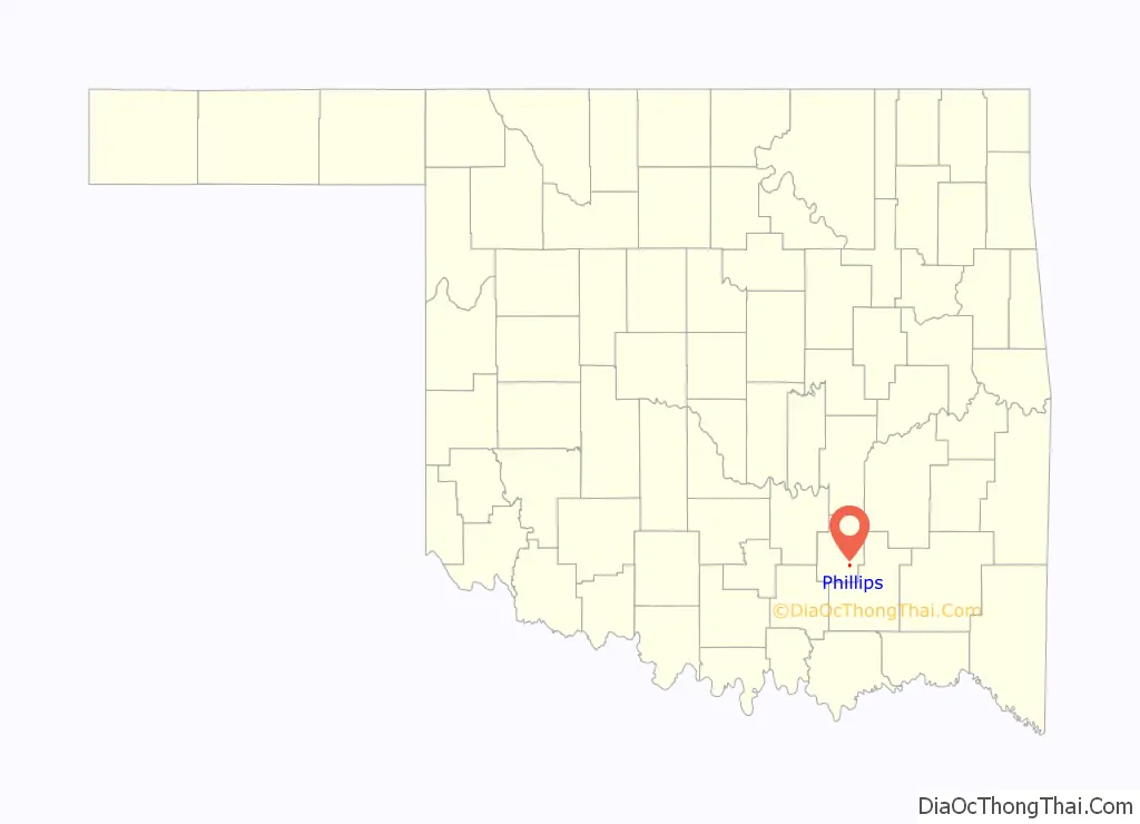
Phillips is a town in Coal County, Oklahoma, United States. The population was 135 at the 2010 census.
| Name: | Phillips town |
|---|---|
| LSAD Code: | 43 |
| LSAD Description: | town (suffix) |
| State: | Oklahoma |
| County: | Coal County |
| Elevation: | 594 ft (181 m) |
| Total Area: | 0.53 sq mi (1.37 km²) |
| Land Area: | 0.53 sq mi (1.36 km²) |
| Water Area: | 0.00 sq mi (0.01 km²) |
| Total Population: | 122 |
| Population Density: | 232.38/sq mi (89.75/km²) |
| ZIP code: | 74538 |
| Area code: | 580 |
| FIPS code: | 4058500 |
| GNISfeature ID: | 1096598 |
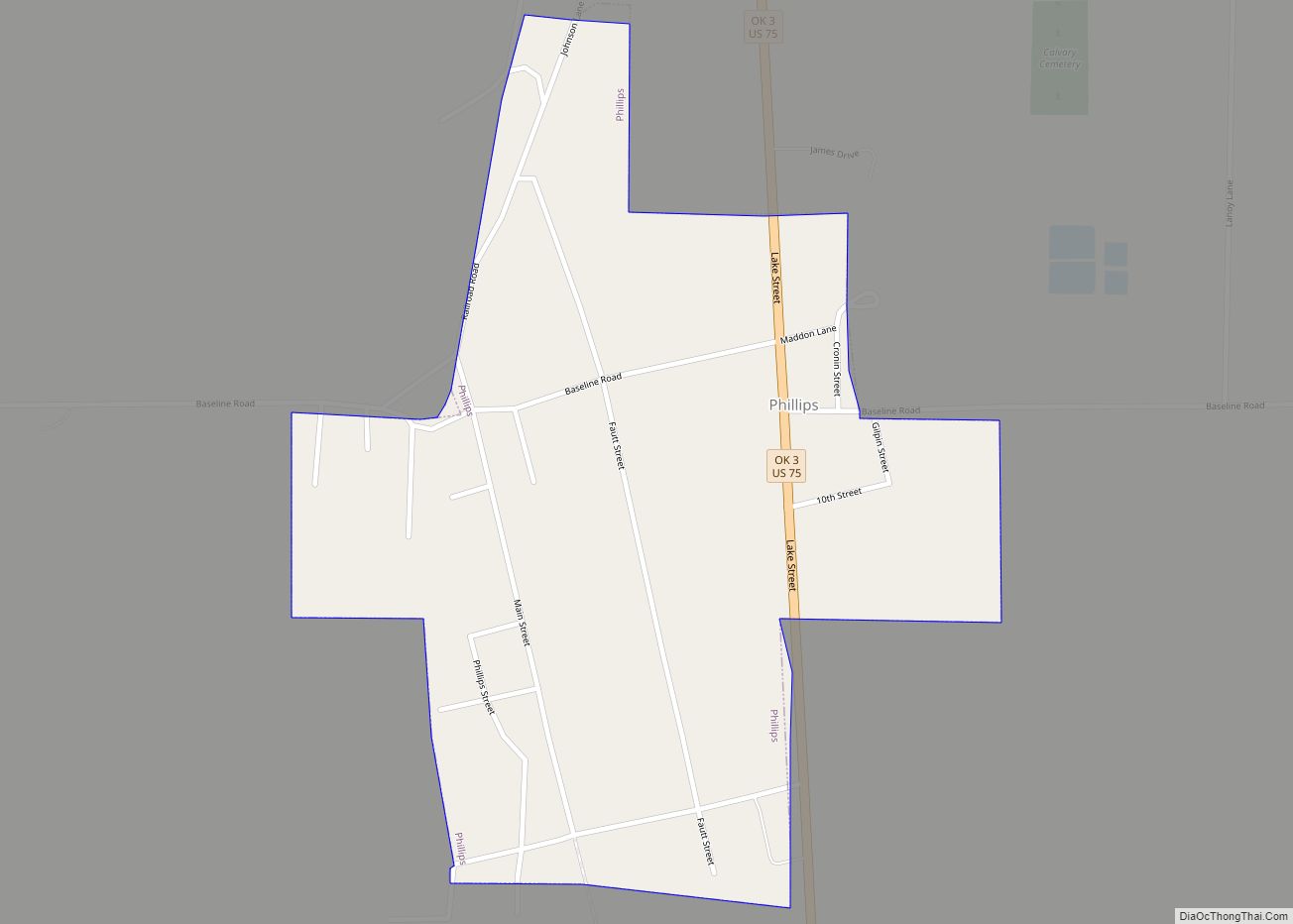
Online Interactive Map
Click on ![]() to view map in "full screen" mode.
to view map in "full screen" mode.
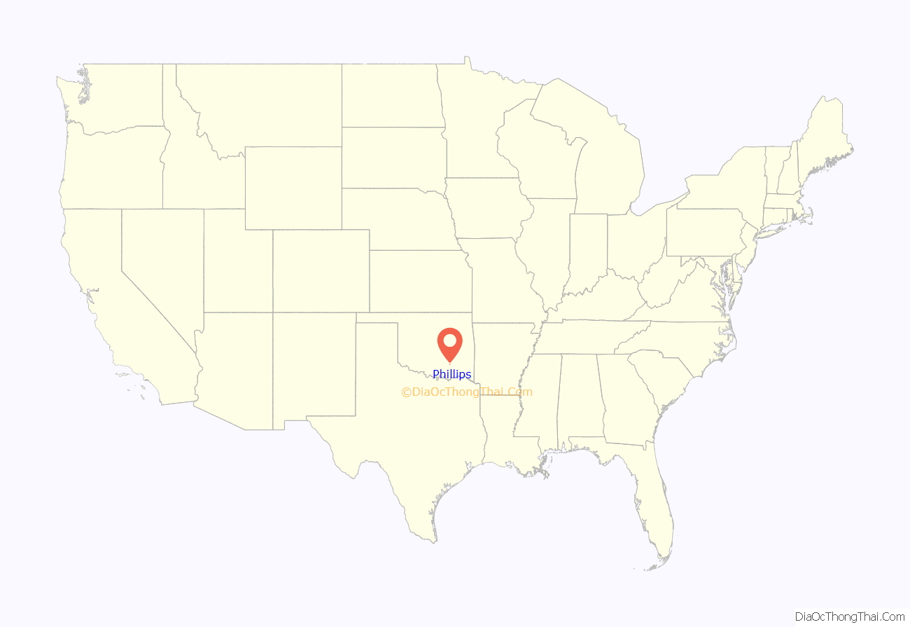
Phillips location map. Where is Phillips town?
History
A post office was established at Phillips, Indian Territory on April 2, 1892. It closed on April 2, 1927. It was named for Henry L. Phillips, a coal mine operator.
At the time of its founding, Phillips was located in Atoka County, a part of the Pushmataha District of the Choctaw Nation.
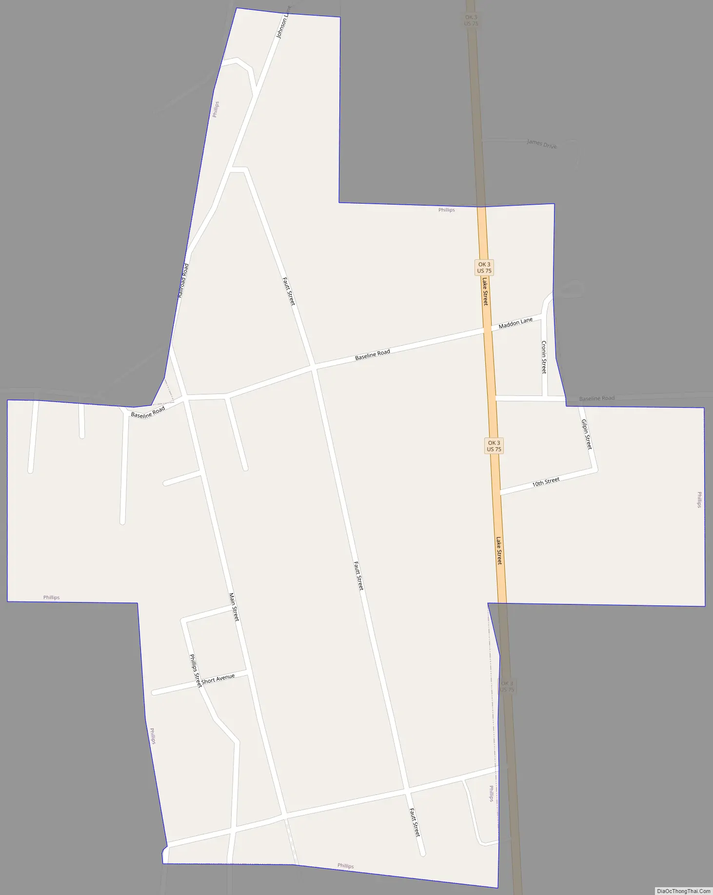
Phillips Road Map
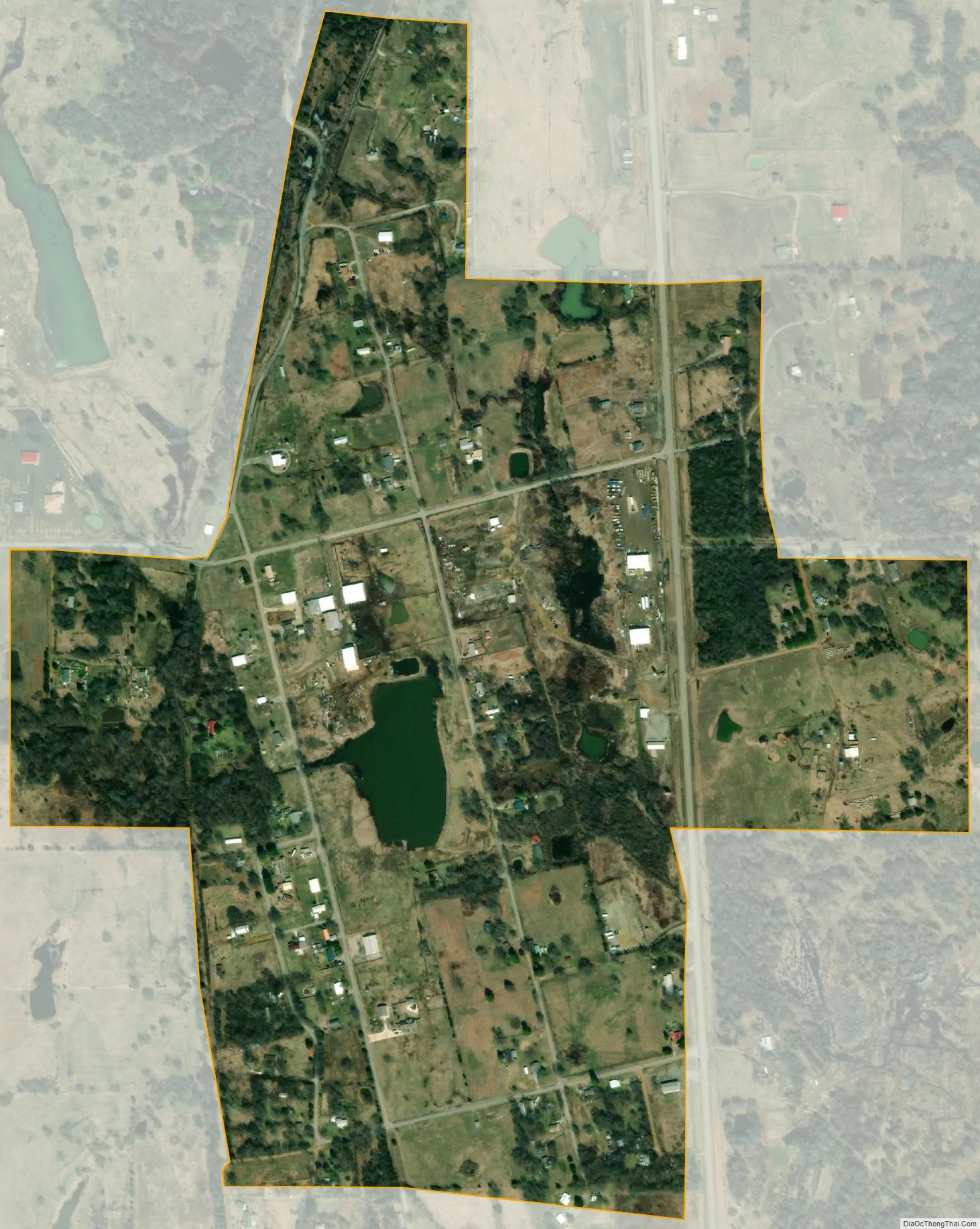
Phillips city Satellite Map
Geography
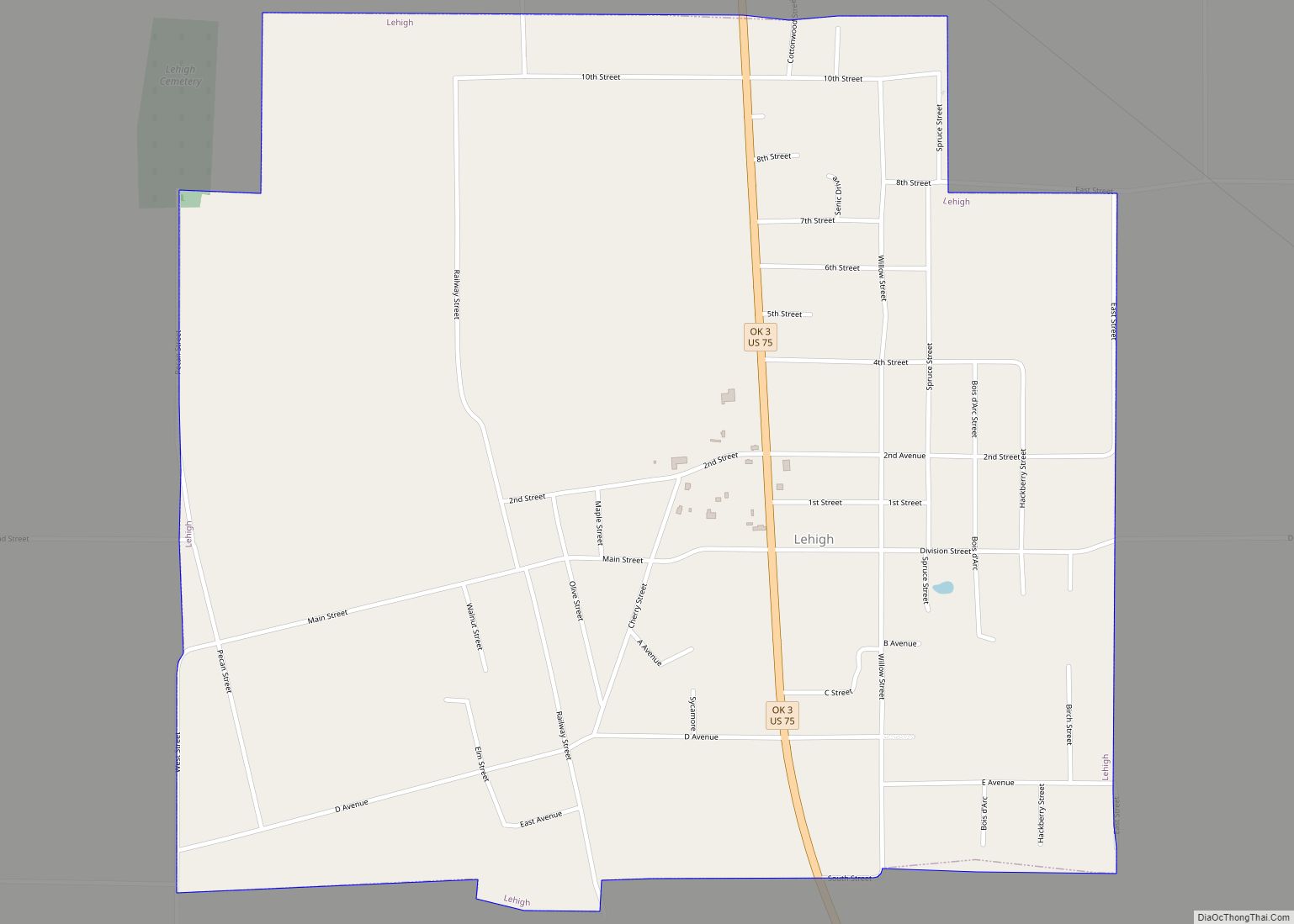
Phillips is located in southeastern Coal County at 34°30′09″N 96°13′27″W / 34.502393°N 96.224167°W / 34.502393; -96.224167. U.S. Route 75 passes through the town, leading north 2.5 miles (4.0 km) to Coalgate, the county seat, and south 2.5 miles (4.0 km) to Lehigh.
According to the United States Census Bureau, the town has a total area of 0.50 square miles (1.3 km), all land.
See also
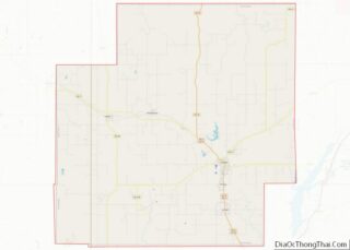
Map of Oklahoma State and its subdivision:- Adair
- Alfalfa
- Atoka
- Beaver
- Beckham
- Blaine
- Bryan
- Caddo
- Canadian
- Carter
- Cherokee
- Choctaw
- Cimarron
- Cleveland
- Coal
- Comanche
- Cotton
- Craig
- Creek
- Custer
- Delaware
- Dewey
- Ellis
- Garfield
- Garvin
- Grady
- Grant
- Greer
- Harmon
- Harper
- Haskell
- Hughes
- Jackson
- Jefferson
- Johnston
- Kay
- Kingfisher
- Kiowa
- Latimer
- Le Flore
- Lincoln
- Logan
- Love
- Major
- Marshall
- Mayes
- McClain
- McCurtain
- McIntosh
- Murray
- Muskogee
- Noble
- Nowata
- Okfuskee
- Oklahoma
- Okmulgee
- Osage
- Ottawa
- Pawnee
- Payne
- Pittsburg
- Pontotoc
- Pottawatomie
- Pushmataha
- Roger Mills
- Rogers
- Seminole
- Sequoyah
- Stephens
- Texas
- Tillman
- Tulsa
- Wagoner
- Washington
- Washita
- Woods
- Woodward
- Alabama
- Alaska
- Arizona
- Arkansas
- California
- Colorado
- Connecticut
- Delaware
- District of Columbia
- Florida
- Georgia
- Hawaii
- Idaho
- Illinois
- Indiana
- Iowa
- Kansas
- Kentucky
- Louisiana
- Maine
- Maryland
- Massachusetts
- Michigan
- Minnesota
- Mississippi
- Missouri
- Montana
- Nebraska
- Nevada
- New Hampshire
- New Jersey
- New Mexico
- New York
- North Carolina
- North Dakota
- Ohio
- Oklahoma
- Oregon
- Pennsylvania
- Rhode Island
- South Carolina
- South Dakota
- Tennessee
- Texas
- Utah
- Vermont
- Virginia
- Washington
- West Virginia
- Wisconsin
- Wyoming