Tupelo is a city in Coal County, Oklahoma, United States. The population was 329 at the 2010 census.
| Name: | Tupelo city |
|---|---|
| LSAD Code: | 25 |
| LSAD Description: | city (suffix) |
| State: | Oklahoma |
| County: | Coal County |
| Elevation: | 689 ft (210 m) |
| Total Area: | 0.41 sq mi (1.08 km²) |
| Land Area: | 0.41 sq mi (1.08 km²) |
| Water Area: | 0.00 sq mi (0.00 km²) |
| Total Population: | 327 |
| Population Density: | 787.95/sq mi (304.01/km²) |
| ZIP code: | 74572 |
| Area code: | 580 |
| FIPS code: | 4075050 |
| GNISfeature ID: | 1099015 |
Online Interactive Map
Click on ![]() to view map in "full screen" mode.
to view map in "full screen" mode.
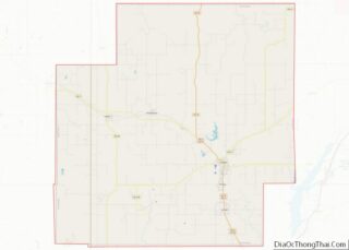
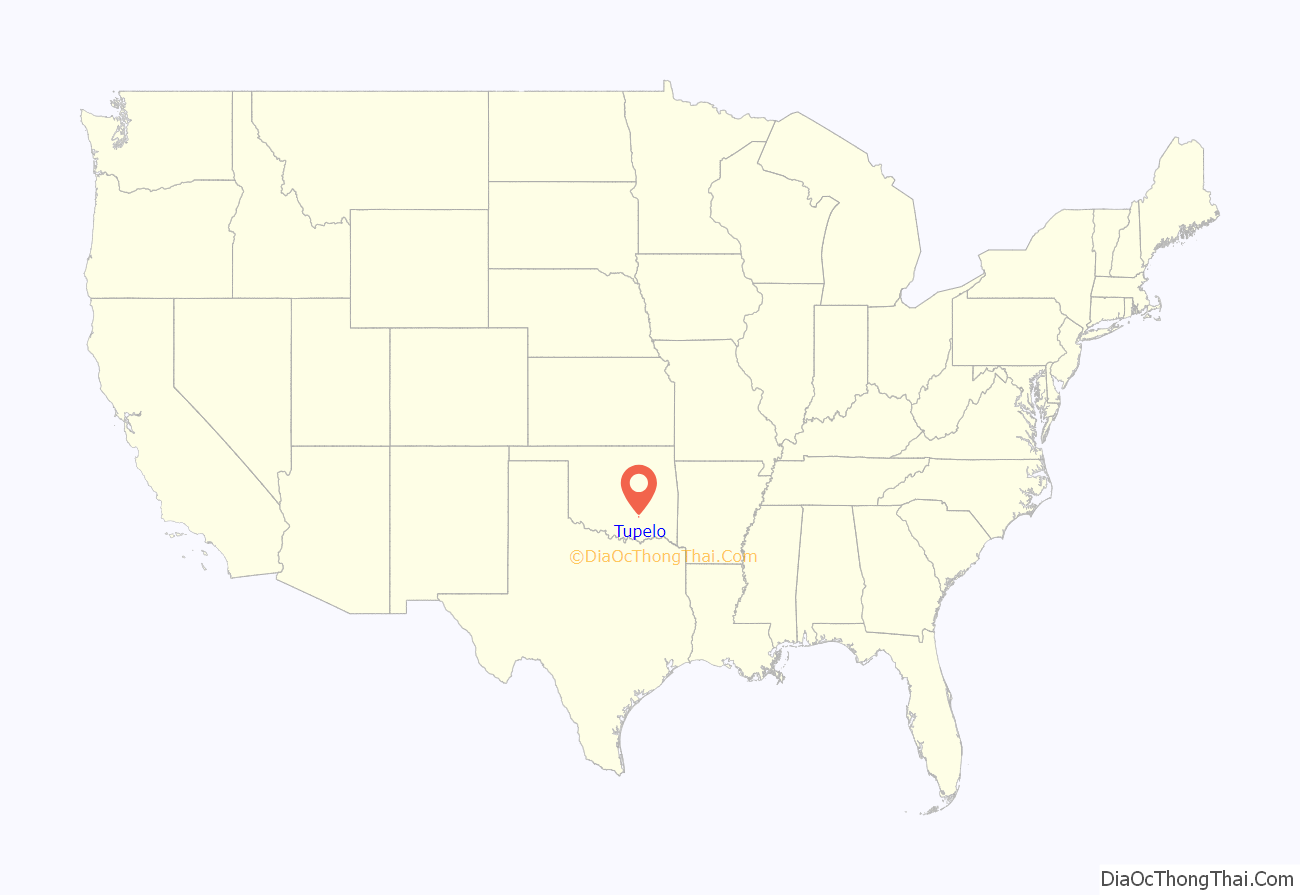
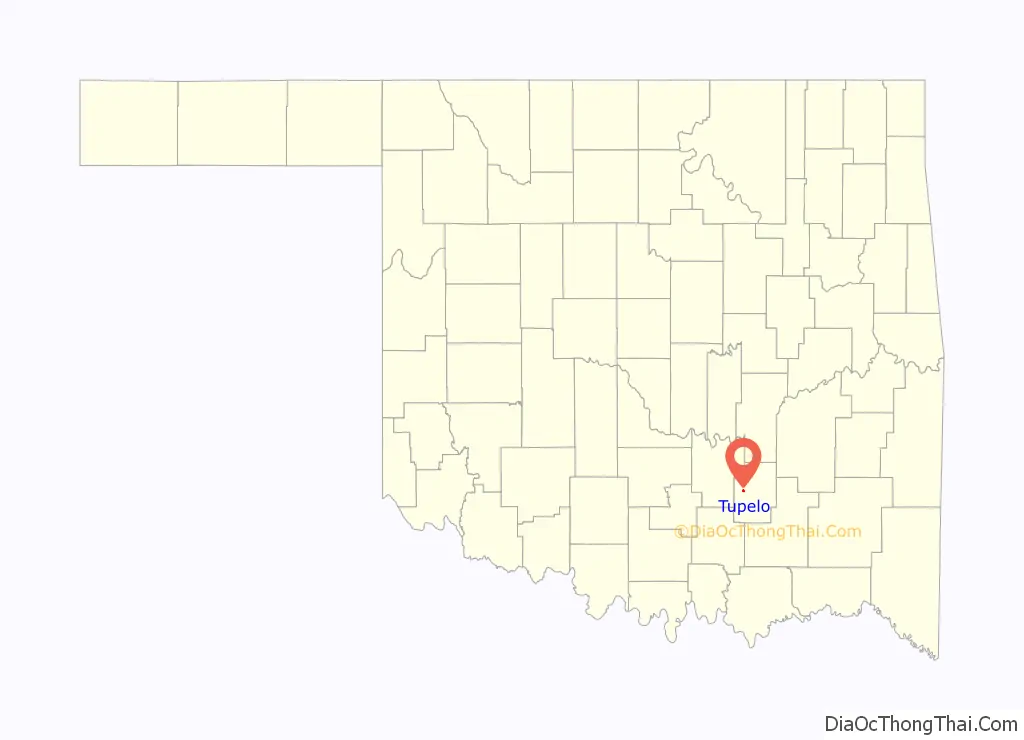
Tupelo location map. Where is Tupelo city?
History
A post office opened at Jeffs, Indian Territory on June 28, 1894. It moved to the present site of Tupelo on October 25, 1900, and its name changed to Tupelo, Indian Territory on January 13, 1904. Jeffs took its name from Jefferson D. Perry, first postmaster. Tupelo was named for Tupelo, Mississippi, which itself was named for the tupelo gum tree.
At the time of their founding, Jeffs, and later Tupelo, were located in Atoka County, a part of the Pushmataha District of the Choctaw Nation.
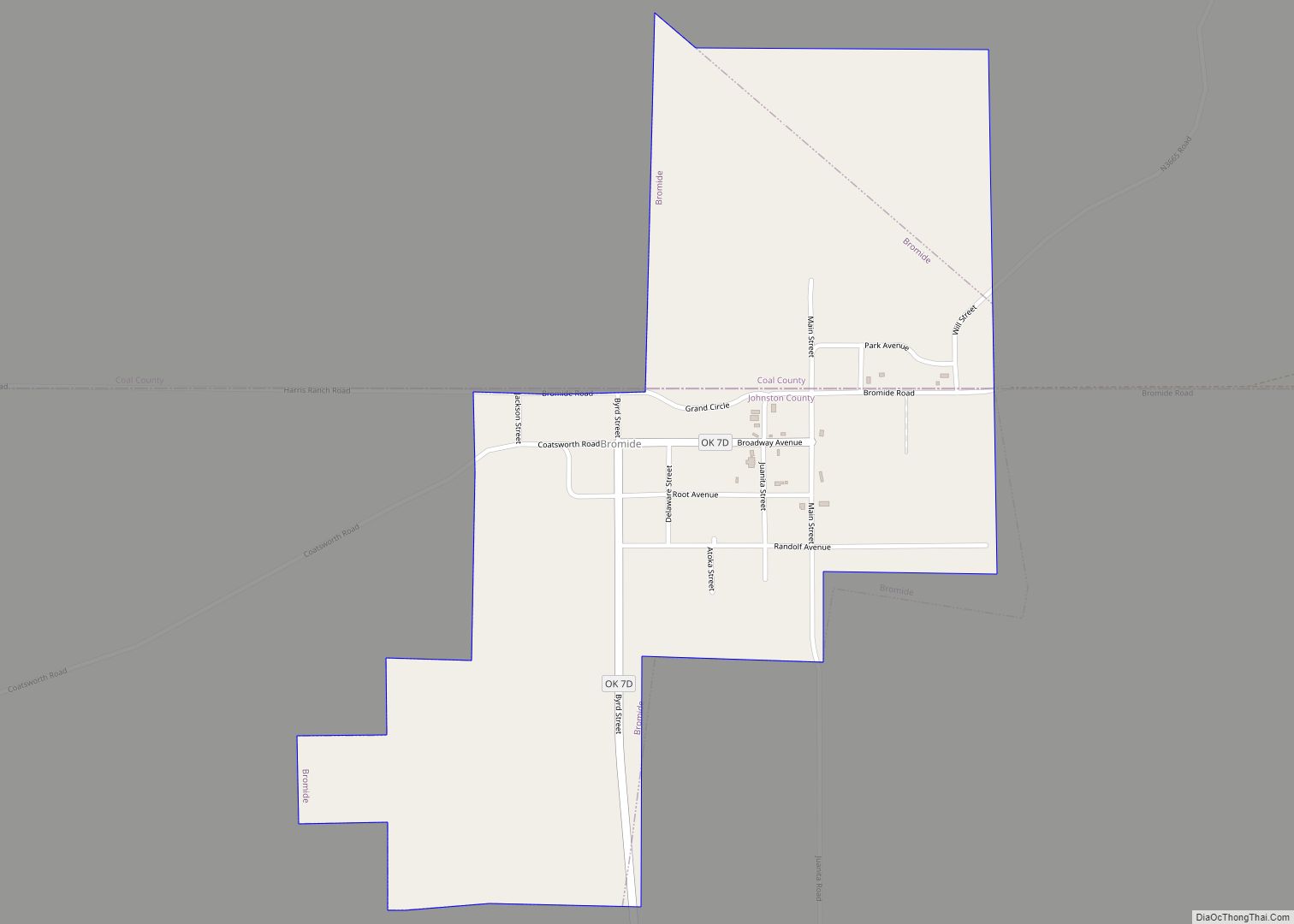
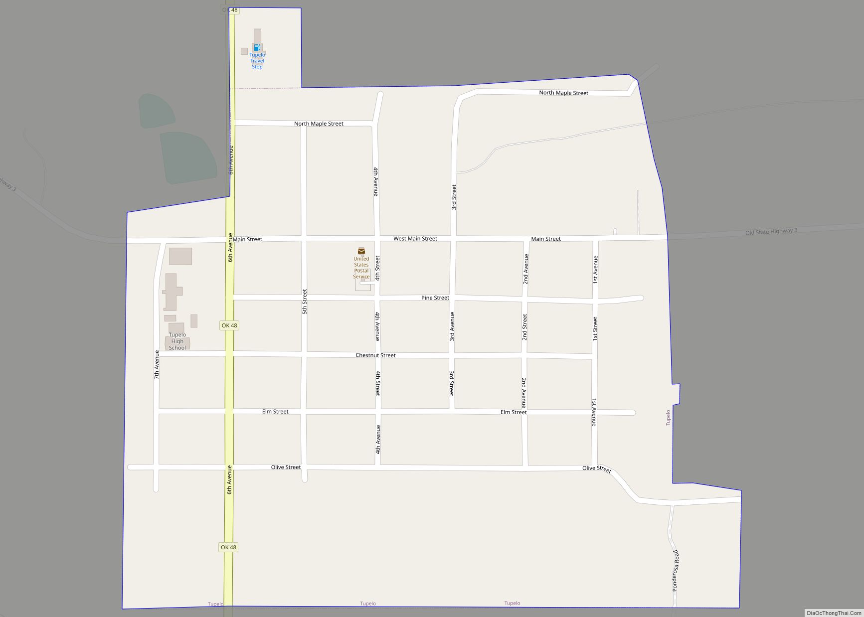
Tupelo Road Map

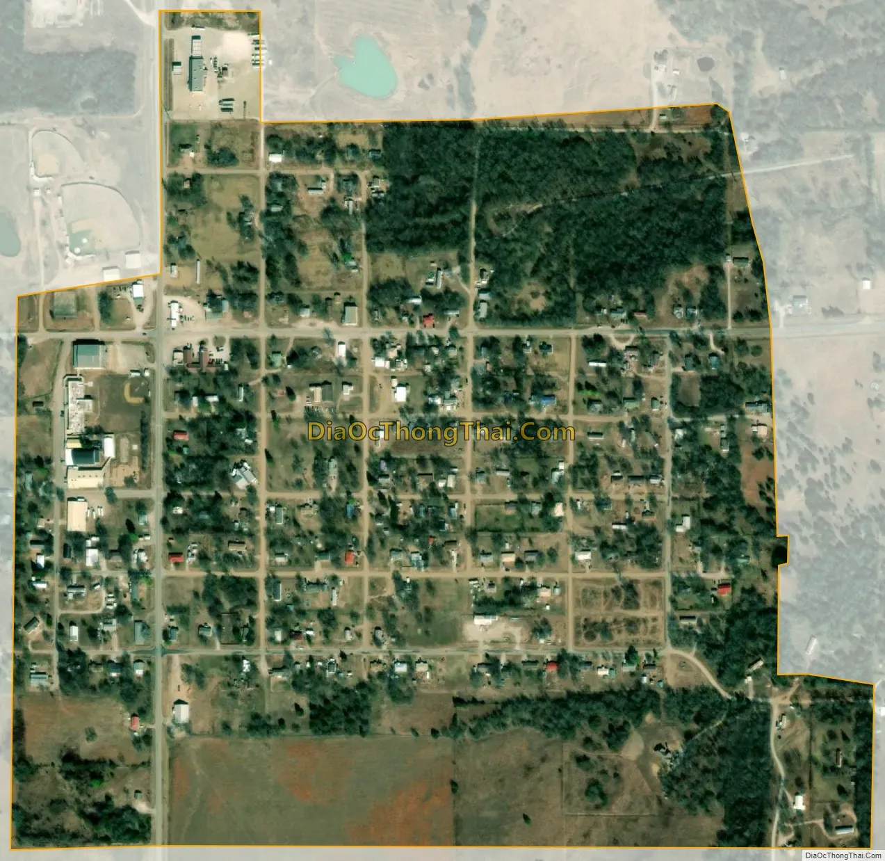
Tupelo city Satellite Map
Geography
Tupelo is located in western Coal County at 34°36′11″N 96°25′14″W / 34.60306°N 96.42056°W / 34.60306; -96.42056 (34.603133, -96.420531). Oklahoma State Highway 3 bypasses the town to the north and leads 14 miles (23 km) southeast to Coalgate, the county seat, and 20 miles (32 km) northwest to Ada. State Highway 48 passes through Tupelo, leading south 16 miles (26 km) to Wapanucka and north 20 miles (32 km) to Allen.
According to the United States Census Bureau, Tupelo has a total area of 0.42 square miles (1.1 km), all land.
See also
Map of Oklahoma State and its subdivision:- Adair
- Alfalfa
- Atoka
- Beaver
- Beckham
- Blaine
- Bryan
- Caddo
- Canadian
- Carter
- Cherokee
- Choctaw
- Cimarron
- Cleveland
- Coal
- Comanche
- Cotton
- Craig
- Creek
- Custer
- Delaware
- Dewey
- Ellis
- Garfield
- Garvin
- Grady
- Grant
- Greer
- Harmon
- Harper
- Haskell
- Hughes
- Jackson
- Jefferson
- Johnston
- Kay
- Kingfisher
- Kiowa
- Latimer
- Le Flore
- Lincoln
- Logan
- Love
- Major
- Marshall
- Mayes
- McClain
- McCurtain
- McIntosh
- Murray
- Muskogee
- Noble
- Nowata
- Okfuskee
- Oklahoma
- Okmulgee
- Osage
- Ottawa
- Pawnee
- Payne
- Pittsburg
- Pontotoc
- Pottawatomie
- Pushmataha
- Roger Mills
- Rogers
- Seminole
- Sequoyah
- Stephens
- Texas
- Tillman
- Tulsa
- Wagoner
- Washington
- Washita
- Woods
- Woodward
- Alabama
- Alaska
- Arizona
- Arkansas
- California
- Colorado
- Connecticut
- Delaware
- District of Columbia
- Florida
- Georgia
- Hawaii
- Idaho
- Illinois
- Indiana
- Iowa
- Kansas
- Kentucky
- Louisiana
- Maine
- Maryland
- Massachusetts
- Michigan
- Minnesota
- Mississippi
- Missouri
- Montana
- Nebraska
- Nevada
- New Hampshire
- New Jersey
- New Mexico
- New York
- North Carolina
- North Dakota
- Ohio
- Oklahoma
- Oregon
- Pennsylvania
- Rhode Island
- South Carolina
- South Dakota
- Tennessee
- Texas
- Utah
- Vermont
- Virginia
- Washington
- West Virginia
- Wisconsin
- Wyoming