Piedmont is a city primarily in Canadian County, Oklahoma, United States, though a small part of it is in Kingfisher County. It is a part of the Oklahoma City Metropolitan Area. The population was 5,720 at the 2010 census, a 56.7 percent increase from 3,650 in 2000. Piedmont is a home rule city served by a council–manager government.
| Name: | Piedmont city |
|---|---|
| LSAD Code: | 25 |
| LSAD Description: | city (suffix) |
| State: | Oklahoma |
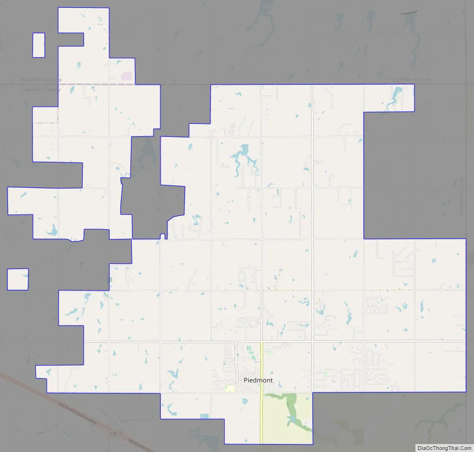
| County: | Canadian County, Kingfisher County |
| Elevation: | 1,217 ft (371 m) |
| Total Area: | 43.85 sq mi (113.58 km²) |
| Land Area: | 43.40 sq mi (112.40 km²) |
| Water Area: | 0.46 sq mi (1.18 km²) |
| Total Population: | 7,402 |
| Population Density: | 170.56/sq mi (65.85/km²) |
| ZIP code: | 73078 |
| Area code: | 405 |
| FIPS code: | 4058700 |
| GNISfeature ID: | 2411419 |
| Website: | www.piedmont-ok.gov |
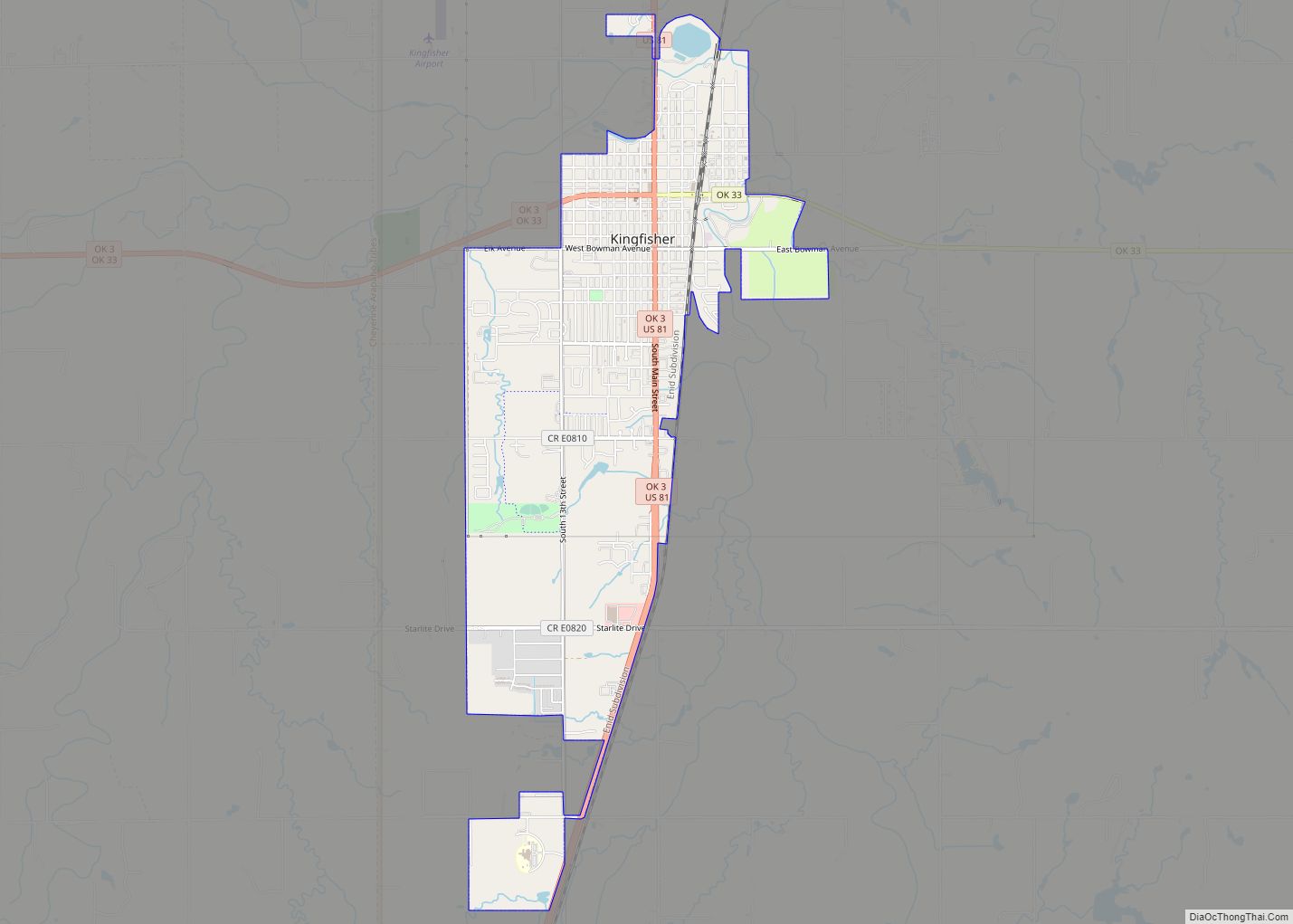
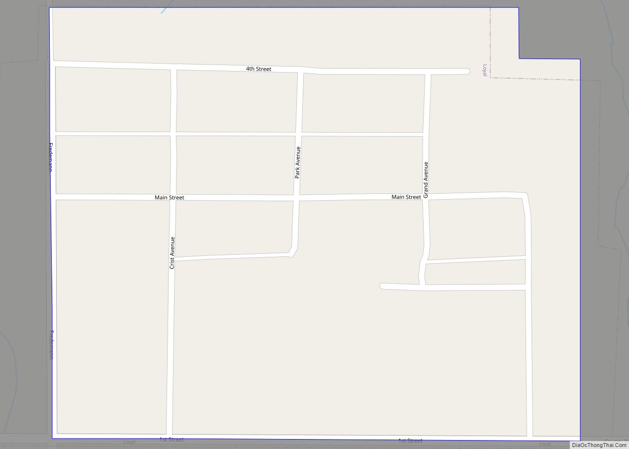
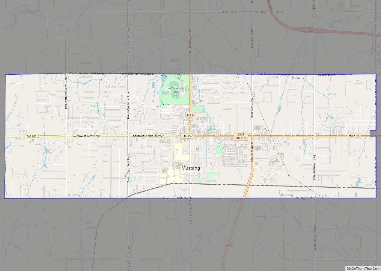
Online Interactive Map
Click on ![]() to view map in "full screen" mode.
to view map in "full screen" mode.
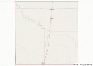
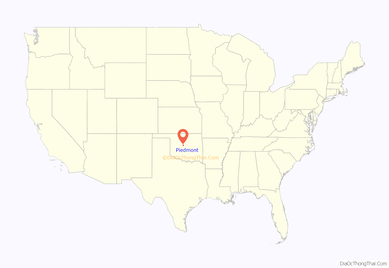
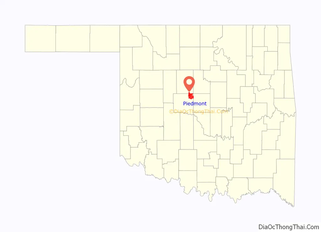
Piedmont location map. Where is Piedmont city?
History
The city of Piedmont was founded on land claimed during the Unassigned Land Run of April 22, 1889. The town was founded in 1903 by Dr. E. H. Long.
Piedmont’s success was spurred by the now-defunct St. Louis, El Reno and Western Railway that extended a line from Guthrie to El Reno, which allowed it to become an agricultural market center. However, the railroad ceased to operate in 1924.
Piedmont remained a small but stable rural community for the first half of the 20th century. Starting in the 1970s, the town became an increasingly popular bedroom community for those working in nearby Oklahoma City. Development of the “Northwest Expressway” (Oklahoma State Highway 3) resulted in population growth of 124%.
2011 tornado
On May 24, 2011, Piedmont and surrounding areas were struck by the 2011 El Reno–Piedmont tornado. Rated EF5, it destroyed about 180 homes in the city, caused over $20 million in property damage, and killed two children.
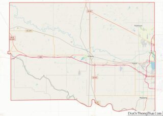
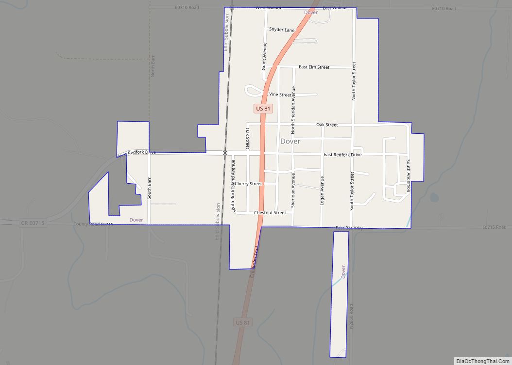
Piedmont Road Map
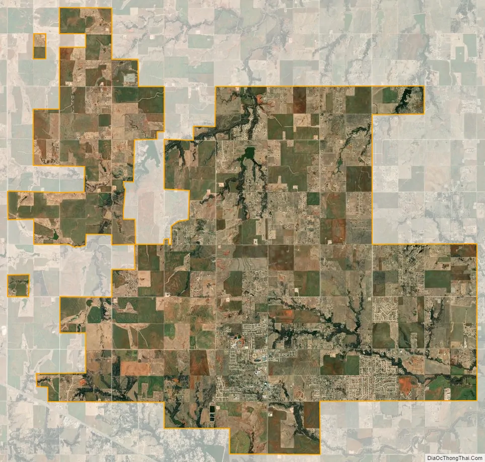
Piedmont city Satellite Map
Geography
Piedmont is located in the northeastern corner of Canadian County 10 miles (16 km) north of Yukon. It is bordered to the south by the Oklahoma City limits. The center of Piedmont is about 22 miles (35 km) northwest of the center of Oklahoma City.
According to the United States Census Bureau, Piedmont has a total area of 44.1 square miles (114.1 km), of which 43.6 square miles (112.9 km) is land and 0.46 square miles (1.2 km), or 1.02%, is water.
See also
Map of Oklahoma State and its subdivision:- Adair
- Alfalfa
- Atoka
- Beaver
- Beckham
- Blaine
- Bryan
- Caddo
- Canadian
- Carter
- Cherokee
- Choctaw
- Cimarron
- Cleveland
- Coal
- Comanche
- Cotton
- Craig
- Creek
- Custer
- Delaware
- Dewey
- Ellis
- Garfield
- Garvin
- Grady
- Grant
- Greer
- Harmon
- Harper
- Haskell
- Hughes
- Jackson
- Jefferson
- Johnston
- Kay
- Kingfisher
- Kiowa
- Latimer
- Le Flore
- Lincoln
- Logan
- Love
- Major
- Marshall
- Mayes
- McClain
- McCurtain
- McIntosh
- Murray
- Muskogee
- Noble
- Nowata
- Okfuskee
- Oklahoma
- Okmulgee
- Osage
- Ottawa
- Pawnee
- Payne
- Pittsburg
- Pontotoc
- Pottawatomie
- Pushmataha
- Roger Mills
- Rogers
- Seminole
- Sequoyah
- Stephens
- Texas
- Tillman
- Tulsa
- Wagoner
- Washington
- Washita
- Woods
- Woodward
- Alabama
- Alaska
- Arizona
- Arkansas
- California
- Colorado
- Connecticut
- Delaware
- District of Columbia
- Florida
- Georgia
- Hawaii
- Idaho
- Illinois
- Indiana
- Iowa
- Kansas
- Kentucky
- Louisiana
- Maine
- Maryland
- Massachusetts
- Michigan
- Minnesota
- Mississippi
- Missouri
- Montana
- Nebraska
- Nevada
- New Hampshire
- New Jersey
- New Mexico
- New York
- North Carolina
- North Dakota
- Ohio
- Oklahoma
- Oregon
- Pennsylvania
- Rhode Island
- South Carolina
- South Dakota
- Tennessee
- Texas
- Utah
- Vermont
- Virginia
- Washington
- West Virginia
- Wisconsin
- Wyoming