Pink is a town in Pottawatomie County, Oklahoma, United States, and is part of the Oklahoma City Metropolitan Area. The only town in the United States bearing this name, Pink lies within the boundaries of the Citizen Potawatomi Nation. The 2010 census population was 2,058, a 76.7 percent increase from the figure of 1,165 in 2000.
The town name of Pink may have been chosen because it is complementary to Brown (now part of Pink), which was located a few miles east in the same township and range. This would be an example of the “twin name fad” in Pottawatomie County, like the towns of Romulus and Remus. Oral history suggests that the town name was in honor of a local resident named Pink.
The town was hit by a significant tornado on the night of April 19, 2023.
| Name: | Pink town |
|---|---|
| LSAD Code: | 43 |
| LSAD Description: | town (suffix) |
| State: | Oklahoma |
| County: | Pottawatomie County |
| Elevation: | 1,119 ft (341 m) |
| Total Area: | 36.12 sq mi (93.54 km²) |
| Land Area: | 36.12 sq mi (93.54 km²) |
| Water Area: | 0.00 sq mi (0.00 km²) |
| Total Population: | 2,091 |
| Population Density: | 57.90/sq mi (22.35/km²) |
| ZIP code: | 74873 |
| Area code: | 405/572 |
| FIPS code: | 4059150 |
| GNISfeature ID: | 1100744 |
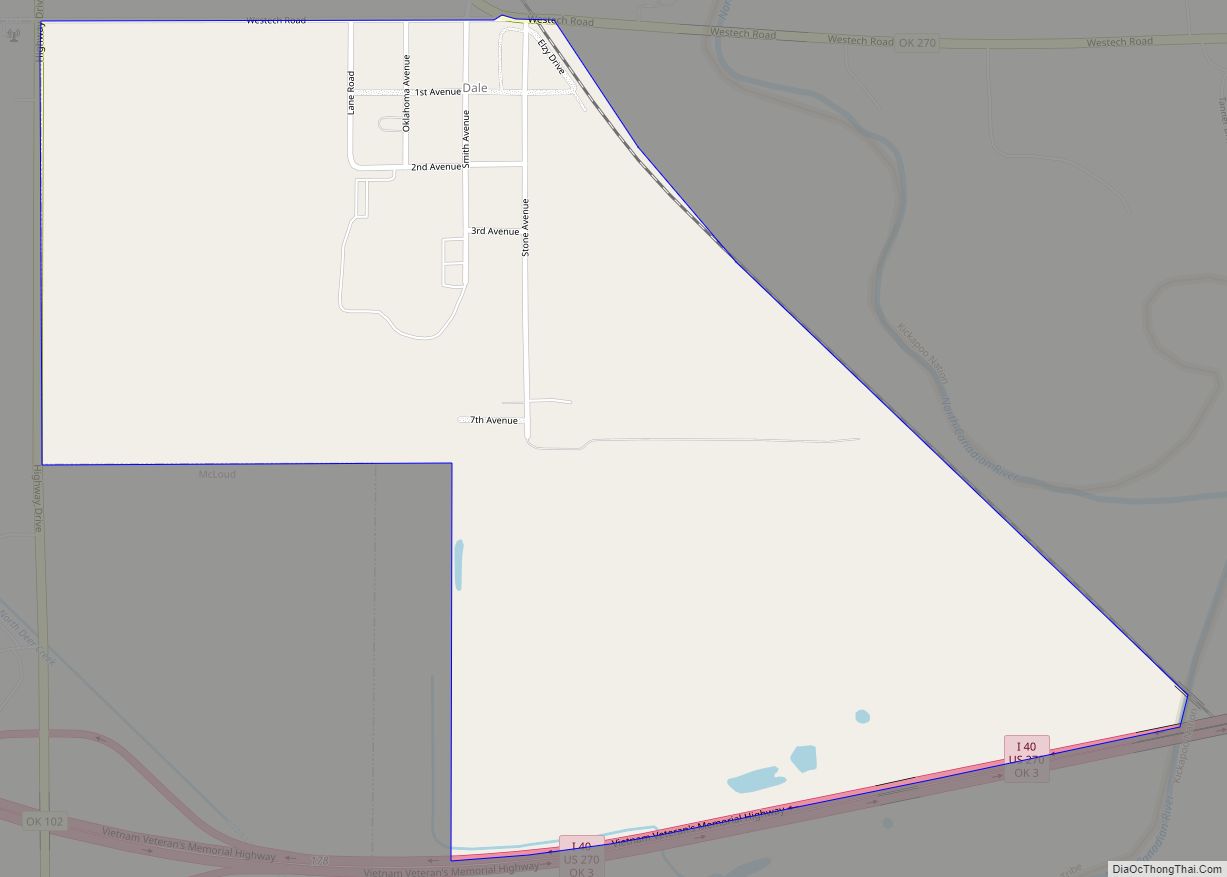
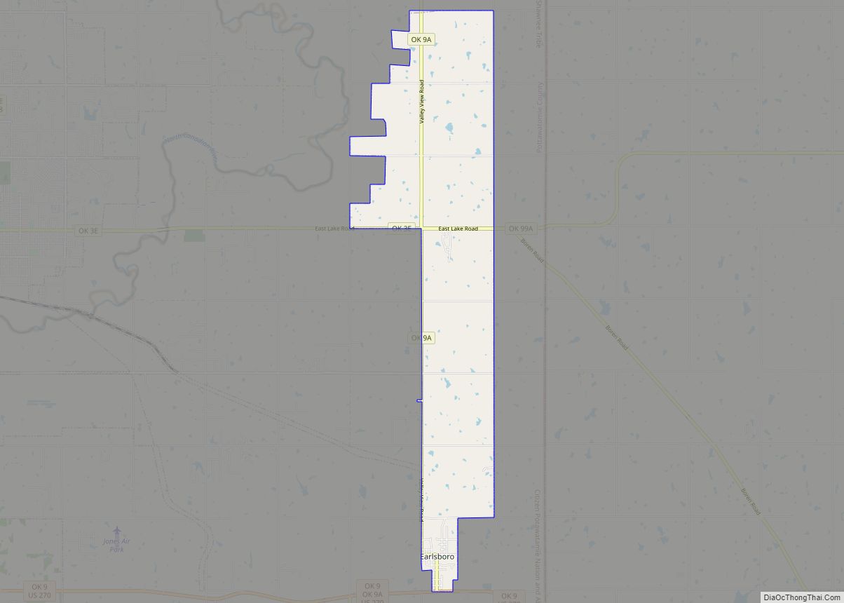
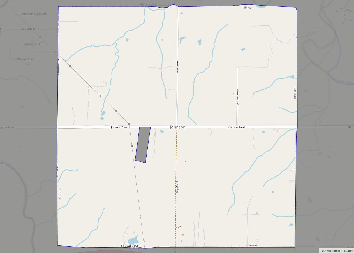
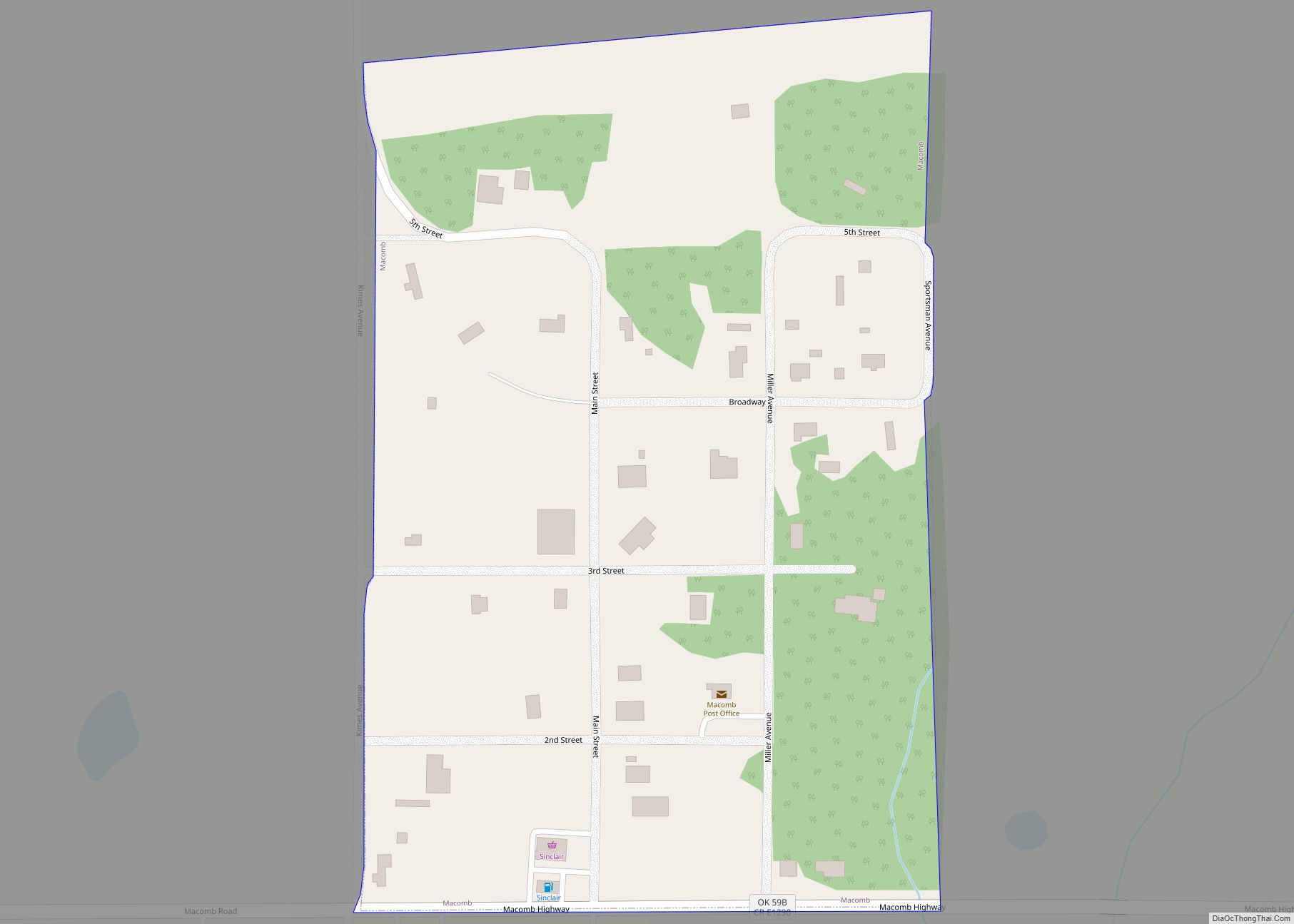
Online Interactive Map
Click on ![]() to view map in "full screen" mode.
to view map in "full screen" mode.
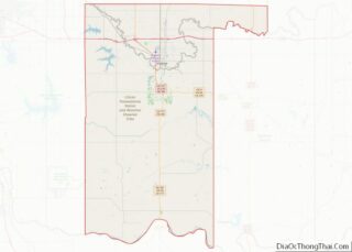
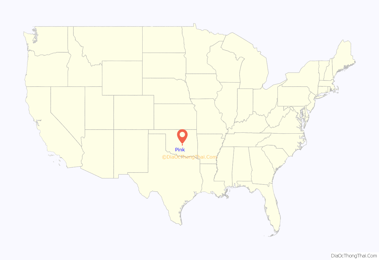
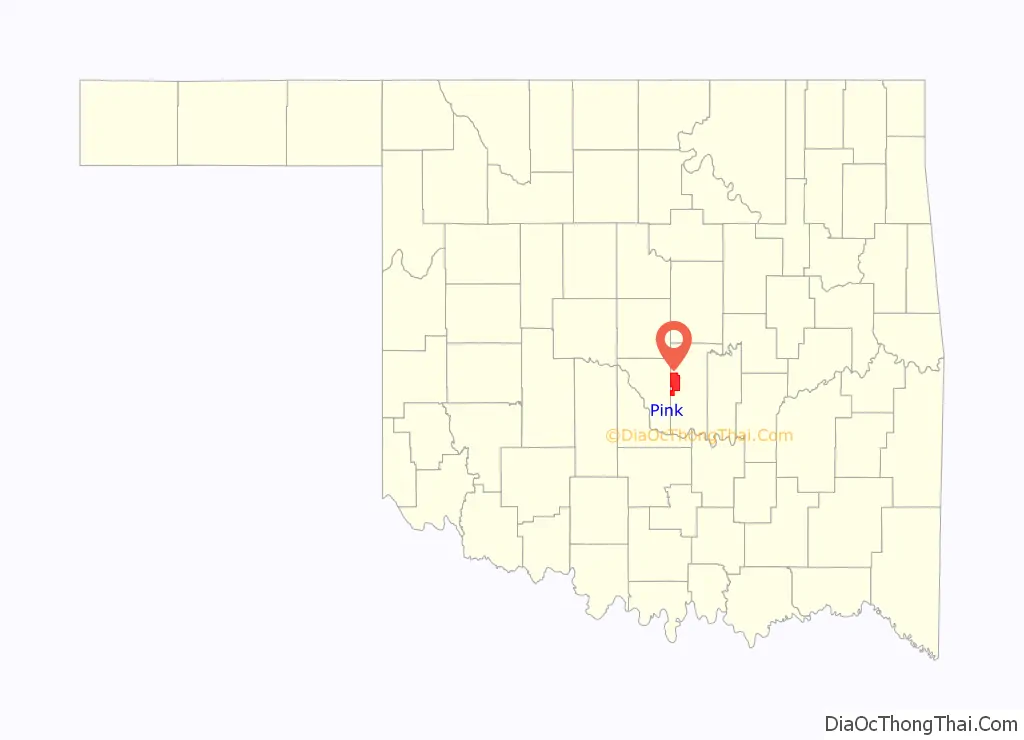
Pink location map. Where is Pink town?
History
Prehistory
From the information gathered during archaeological excavations along the Little River west and south of Pink, it appears that people lived in this area for many thousands of years including during the four-thousand year drought of the Altithermal which started around 8,500 years ago and turned most of Oklahoma into a vast desert. The Thunderbird Dam Site on Little River west of Pink appears to have been used from around 500 BC to 1000 AD. Hunters found the ridge above the river a good camping spot near water and plentiful game animals including deer and turkey.
1800-1891
The Oklahoma region became part of the United States with the Louisiana Purchase in 1803. The Indian Removal Act, signed into law by President Andrew Jackson in 1830, authorized the President to negotiate land exchange treaties with tribes located in lands of the United States. Relocation to Indian Territory began with the Five Civilized Tribes and soon expanded to other groups residing east of the Mississippi River.
Originally driven west by the Iroqouis to the Lake Michigan area prior to 1640, the Potawatomi were driven out of their homes again during the Indian Removal. The Indiana Potawatomi were removed to Kansas and settled at St. Mary’s Mission, becoming known as the Mission Potawatomi. Taking up United States citizenship, they became the Citizen Potawatomi Nation. In 1867, the Citizen Potawatomi sold their Kansas lands in order to purchase land in Indian Territory in what would become Pottawatomie County, including Pink.
The Potawatomi arrived in Indian Territory to find Shawnee occupying their land. The Shawnee had been living along the Canadian River in the Choctaw and Creek nations since about 1845, and being absent from their Kansas reservation, they became known as the Absentee Shawnee. In 1872, the United States Congress gave the Absentee Shawnee title to the lands they occupied in the Citizen Potawatomi Nation. Two decades later, the Dawes Act of 1887 forced the Citizen Potawatomi, Absentee Shawnee, Sac & Fox, and Iowa to accept individual allotments. After the allotments were completed, unoccupied land was opened to settlers in the Land Run of 1891, including land that would become the town of Pink.
One band of Absentee Shawnee led by Big Jim (Wapameepto), grandson of Tecumseh, opposed absorption into white society for fear of losing their cultural traditions. They had been living illegally north of the North Canadian River until November 1886 when soldiers from Fort Reno forced them to move south of the river to a place near Shawneetown. The soldiers burned their old houses and destroyed improvements they had made to the land so they could not return to their old homes. They wintered without shelter. Within three years they managed to build log houses and plant small fields and orchards amidst the White Turkeys, another band of Absentee Shawnees. By 1889 it was evident that the land they were now occupying would be broken up and sold.
Refusing to accept the notion of allotments, Big Jim’s Band removed themselves to what they considered the most distant and worthless part of the Citizen Pottawatomie Nation. Big Jim thought that white men would not be interested in the sandy hills near the confluence of Hog Creek and Little River, and would consequently leave them alone. It was a futile attempt to escape allotments, and in 1890 Big Jim and his followers were forced by the Cherokee Commission to accept 80-acre allotments of mostly sandy hills and overflowed bottomland. The community, known as Big Jim Settlement (population 184 in 1901), later became Little Axe in eastern Cleveland County. The original center of the settlement was flooded upon completion of Lake Thunderbird in 1965, ironically turning Big Jim’s “worthless” land into a desirable and popular state park.
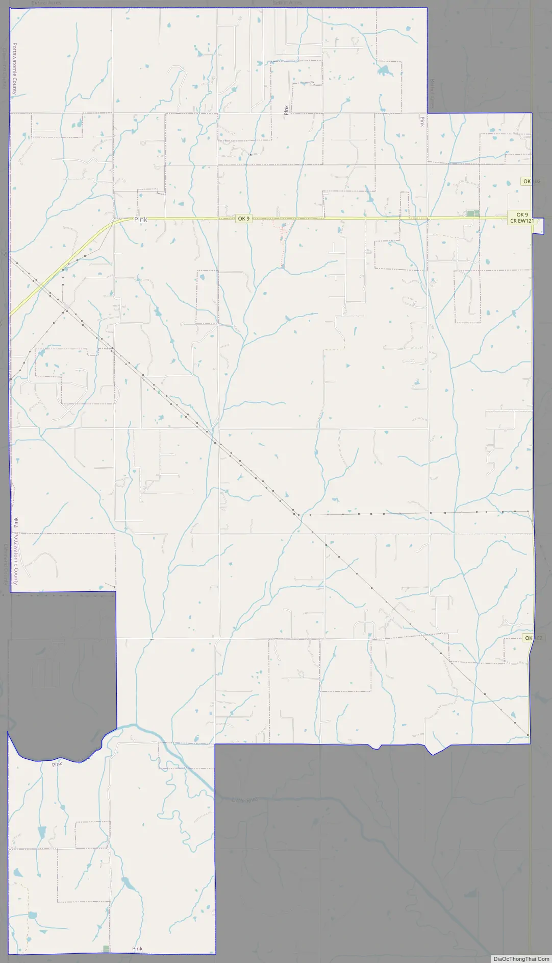
The easternmost Big Jim Band allotments were in what is now the town of Pink. A number of these allotments are still intact, including 2,000 contiguous acres straddling the Pottawatomie/Cleveland county line on the north and south sides of Highway 9.
Several houses were built at the intersection of old Highway 37 and the Pottawatomie/Cleveland county line prior to 1930. Only stone foundations and old maps remain as evidence of these Absentee Shawnee homes.
1891 Land Run
On September 22, 1891 at 12 o’clock noon, by proclamation of President Benjamin Harrison, the second Oklahoma land run began, opening 6,097 homesteads of 160 acres each in what would become Lincoln and Pottawatomie counties. The Citizen Potawatomi and Absentee Shawnee were paid by the US Government sixty-nine cents for each acre that would become the town of Pink. The claimant for each homestead was required to pay $1.50 per acre upon filing a claim in Guthrie or Oklahoma City, and required to reside on the land for at least five years.
During the 1889 and 1891 Land Runs, Texans and other Southern Democrats took up land suitable for cotton production north of the Red River. These Southerners carried Democratic “yellow-dog” propensities into the territory as far north as the Oklahoma City-Pink-Tecumseh area.
Challenges to settlement
In 1936, John Fortson wrote about the difficulties faced by early settlers of Pottawatomie County:
In April 1900, the Tecumseh Republican encouraged the formation of an Anti Horse Thief Association to combat the perpetual problem that plagued area farmers. A scheme was proposed whereby each member would pay a levy if another member’s horse was stolen, thereby reducing the financial impact to the unfortunate member.
Early inhabitants
Absentee Shawnee allottees of 1891 in what became the town of Pink included Rufus Coons (S ½ SE ¼ Section 7), Nellie McCoy (SW ¼ Section 7), Se-So-Tay-Se (N ½ Section 7), Owen Gobbler (E ½ SW ¼ Section 9), Tha-Ke-Tep-Pie (Gobbler) (E ½ Section 9), Jacob Tomahawk (S ½ Section 14), Ja-Squa-Way-Se (W ½ Sw ¼ Section 18), Nad-Pe-Tok-Ca (E ½ SW ¼ Section 18), Ne-Ah-Qua (Pecan) (N ½ NW ¼ Section 18), Pa-Na-Ya-Sker-Ca (S ½ NW ¼ Section 18), John Coons (E ½ Section 18).
These original Indian allotments were not always settled upon. One exception was part of the 1891 allotment for Nellie McCoy (Now-Ah-Lo-Pea-SE), identified as Township 9N Range 2E Section 7 Lot 4 and SE¼ SW¼. A stone foundation has been located on the southern edge of this tract corresponding to a dwelling noted by the 1930 USGS Survey, likely occupied by Nellie or her relatives. Upon Nellie’s death the allotment passed to her husband John Pecan and her two sisters and brother in 1928. The USGS Survey depicts several other dwellings on adjacent land in Cleveland County that may also have been inhabited by Absentee Shawnee prior to 1930 and abandoned prior to 1956 when all of these houses were no longer shown on the survey maps due to their abandonment, decay and difficulty of access.
This part of Nellie McCoy’s allotment was transferred to William A and Norma Jean Mays in 1964, and later sold to William Reeves Laney and Joyce Ann Fredrickson Laney. The Laneys combined Nellie’s land with adjacent property and built Wicklow in 1980, a modern interpretation of an 1850 antebellum plantation home. Ownership of Wicklow transferred to Stanley and Betty Faulk in December 2005. The Faulks subsequently designated 100 acres of the property as the “Nellie McCoy Nature Reserve” for the protection of Cross Timbers flora and fauna as well as Native American and American pioneer history.
The town of Pink emerged sometime after the land run and before January 24, 1894 when the United States Post Office Department designated the Pink post office to be operated by Joseph Fahnestock. For some reason Fahnestock declined his appointment as postmaster, however the next month Thomas M. McKittrick accepted the postmaster job. McKittrick’s wife Laura died one year later in February 1895, leaving her husband and seven children. The post office was moved to Michael Sheyers’ place on Section 16, where Laura was buried, and Sheyers was appointed postmaster. McKittrick reportedly planned to move his family to Missouri soon thereafter. The post office was discontinued in January 1897, reestablished in 1901, just to be discontinued permanently in February 1906. The Tecumseh post office now serves the town.
A cemetery was established at the corner of present-day Fishmarket Rd and Willow View Rd. The stones were dozed away to make way for land development, with the graves likely not relocated. A number of early Pink residents have been buried in either the Black Cemetery, earliest burial in 1893, or Brown Cemetery, earliest burial in 1892. As evidenced by the headstones, there was an increasing number of births beginning in 1891, coinciding with the Land Run.
Brown, about three miles east of the original center of Pink, was named for George Brown. George came from Arkansas, established a farm, and became the first postmaster of Brown. Postal business was conducted out of his home, a 16 by 18-foot log cabin. The post office operated until February 14, 1906, when its services and that of the Pink post office were consolidated in Tecumseh. At one time the town had a cotton gin, two stores, a school, doctors and an undertaking parlor. Brown has been absorbed into the town of Pink.
Early maps
The 1891 Oklahoma and Indian Territories map portrays Shawneetown (Shawnee) as the only settlement north of Little River in the future Pottawatomie County. Pink appears later on Cram’s 1898 Oklahoma and Indian Territory Map.] Topographic mapping of Pink and Pottawatomie County began sometime after 1903. Pink School was built sometime prior to its depiction on the 1910 McComb Quadrangle at the northwest corner of Section 28, Brinton Township (now corner of Okay Rd and Willow View Rd).
Unlike some other places in Oklahoma and Indian Territories, there were no railroads established in the county until after the 1891 Land Run. As late as 1906 the focus in mapmaking was still on depicting railroads, by which time several lines had been built in the county. None would ever come closer to Pink than about 10 miles, which guaranteed lesser importance for the town in an age dominated by railroads.
Although there was no railroad, an east–west road sprang up very early in Pink over which cotton was transported from the eastern part of the county to the Atchison, Topeka and Santa Fe Railway in Norman until the Choctaw, Oklahoma and Gulf Railroad was opened for business in Shawnee in February 1896. This east–west road is depicted on the Oklahoma 1916 Highway Map, the oldest existing such highway map for the state. The road was in reality little more than a dirt trail that became one of the first numbered roads in the state. What began as Highway 37 (1927) became Highway 41 (1932), renumbered to Highway 9 (1938), and finally paved in 1941. Erosion and the difficulty of creek crossings forced abandonment of the original location of the road between 1927 and 1932. The permanent scar of the old highway can still be seen sporadically through wooded land due west of the intersection of Fishmarket Rd and the existing Highway 9.
Early business
By 1928 the town center was located just east of what is now Fishmarket Road on Highway 9. In the early years of Pink, Walter Reuben Stapp, a blacksmith by trade, operated a gristmill located on the west side of present-day Fishmarket Rd 1/2 mile south of Highway 9. Osco A. Miller received a homestead patent in 1905 and ran a general store, traveling frequently to Tecumseh and Shawnee looking after personal business matters as well as School District 114 business. The store was later owned by J.R. McLaughlin, then A.C. Stapp and J.M. Stumpp. As late as 1936, the Tecumseh Cotton Oil Company maintained a location on Miller’s property at the southeast corner of present-day Highway 9 and Fishmarket Rd.
Agriculture played a big role in the establishment of the town. First planted in the Choctaw Nation in 1825, by 1907 nearly 25% of Oklahoma’s cultivated acreage was planted in cotton. Hundreds of cotton gins processed the lint into five-hundred-pound bales and separated the seed from the fiber. Compressing plants pressed and stored bales, textile plants processed the fiber, and cottonseed oil mills crushed seeds, using the residue oil for food products, the linters to make paper, the hulls to mix with livestock feeds, and the cake and meal to feed animals.
Cottonseed oil production increased dramatically in the early 20th century with the introduction of Wesson cooking oil in 1899 and Procter & Gamble’s Crisco in 1911, both utilizing the oil. Cottonseed produced by Pink farmers found its way into the marketplace after being processed at one of the several dozen cottonseed oil mills in Oklahoma.
General farming, cotton, livestock, dairy and poultry were the main types of farming in Pink in 1935.
Agrarian Socialism
In 1917 a radical tenant farmers’ organization called the Green Corn Rebellion “Working Class Union (WCU)” claimed membership of 35,000 in the state of Oklahoma. Seventy-five percent of 24-year-old Oklahoma farmers rented the land they worked, and many found their economic prospects hopeless. With no interest in fighting a “rich man’s war” in Europe, they found themselves at odds with the recently imposed draft.
The WCU was more of a secret society, complete with night riding and physical violence against its opponents. Although it is unknown how many Pink farmers were members of this organization, it is likely that at least some sympathized with the 50 active members centered around neighboring Brown. This local group held meetings in dugouts, abandoned farmhouses, in the woods and other convenient places. A neighbor, D.O. Barton, who later became a Pottawatomie County deputy, reported them to the federal government, the local revolt was quashed, and five men were convicted of conspiracy.
Some young Pink residents may have been members of the Jones Family, a group active in the Socialist movement during World War I. A few of the group’s youth were thought to be participants in the Green Corn Rebellion. This group met three miles southwest of Pink at the Mardock Mission (also known as Big Jim’s Mission), built in 1898 by the Maine Branch of the Women’s National Indian Association. The Mission was originally built to serve as a school, religious building, and agricultural experiment station for Big Jim’s Absentee Shawnee, however it also attracted a number of white settlers as they migrated into the area. By 1907, the now non-existent town of Mardock had a post office, two stores and a cotton gin.
Sixty-two percent of farms in Pottawatomie County were still inhabited by tenant farmers in 1930, with the state average being 61.5%. The plight of the tenant farmer had changed little in Pink and the state of Oklahoma since the Green Corn Rebellion. An average of sixty-seven acres were operated per man for all agricultural uses in the county in 1930, comparable with surrounding counties.
Resource depletion
In a rush to get land into production, many early farmers cut down pecan trees without realizing the value of the nuts. It wasn’t until about 1920 that the value of a pecan crop was recognized, and by 1935 it was the second largest cash crop in the county, behind alfalfa.
Many soils around Pink are highly erodible when disturbed. Intensive farming of the land diminished growing capacity and increased soil erosion. Like so many places in Oklahoma, agriculture declined by the 1930s. Some prime cropland still exists, primarily near streams and on bottomland. Livestock farming and residential are now the main land uses.
Erosion and soil exhaustion drove a number of residents to the southeastern part of the county in search of better land, more rain, and work in oil production. By 1936 the western half of the county, including Pink, averaged 20 inhabitants per square mile, less than in 1908.
A few oilfieds were developed around Pink in the early 20th century, with production declining as the years passed. The area was reconsidered for petroleum extraction beginning after 2000, with some new wells entered into production. Cannon Operating of Garland, Texas has invested in new wells on Section 18 adjacent to Highway 9 since 2014.
Pink Road Map
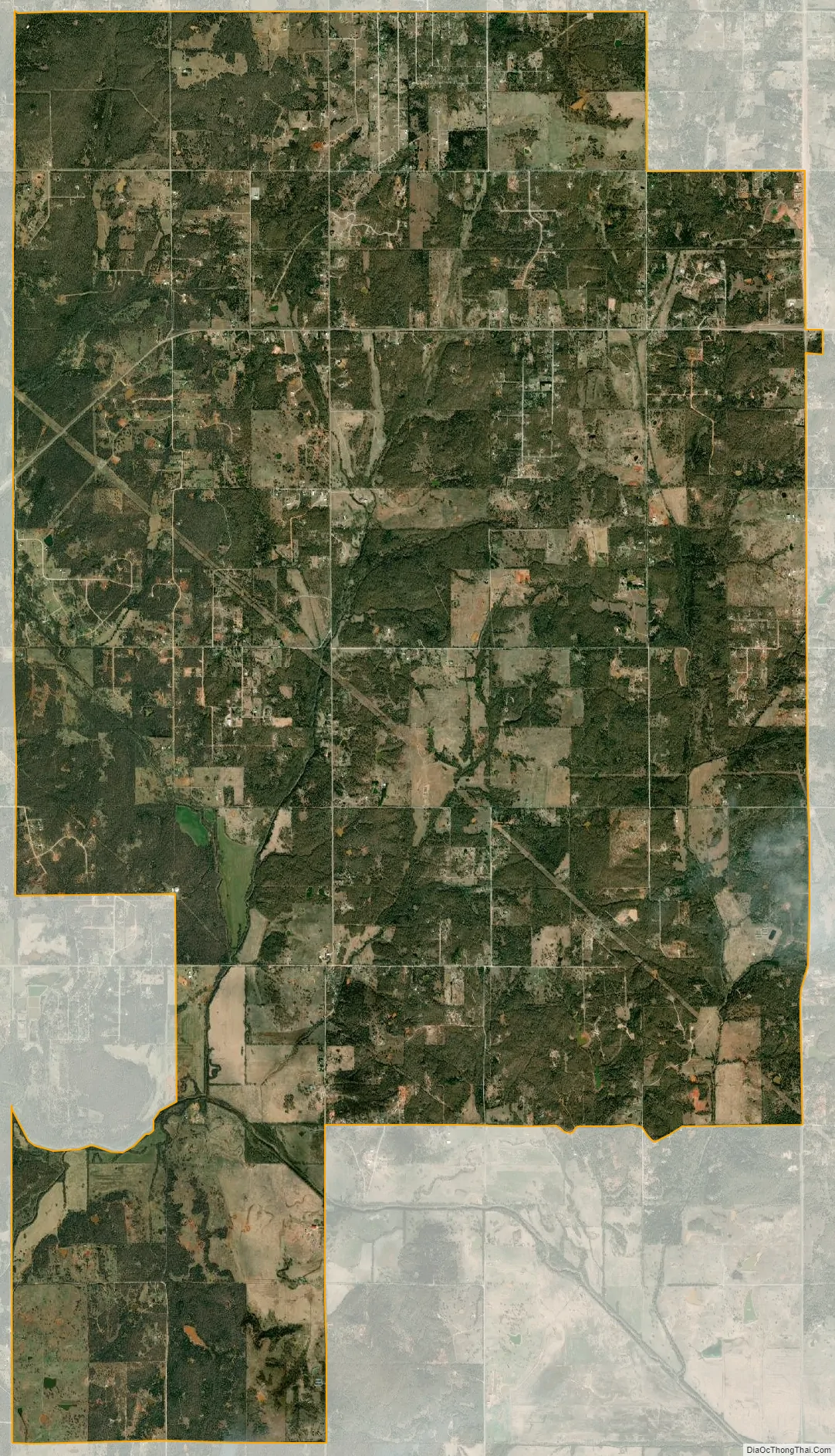
Pink city Satellite Map
Geography
Pink is located at 35°13′56″N 97°6′25″W / 35.23222°N 97.10694°W / 35.23222; -97.10694 (35.232145, -97.107072). According to the United States Census Bureau, the town has a total area of 26.0 square miles (67 km), all land.
Cross Timbers
Pink is situated in the Cross Timbers, a belt of low, rolling hills that is covered by a mosaic of pastureland, rangeland, and woodland encompassing the least-disturbed forest in the U.S. Forty minutes from downtown Oklahoma City on State Highway 9 between Tecumseh and Norman, Pink is in Frontier Country, the central region of Oklahoma that was once part of the wild-and-rowdy American frontier. Although Oklahoma’s territorial frontier days have ended, the remarkable spirit of this thriving crossroads region embodies the feisty independence of bygone days. The Cross Timbers is a small and unique ecoregion that stretches from Kansas to Texas. Millions of 200 to 400-year-old trees have survived in areas unsuitable for farming. The Cross Timbers is one of the least disturbed natural places on Earth, with some of the ancient post oak forest appearing just as it did 6000 years ago.
Washington Irving, the famous American author best known for “Rip Van Winkle” and “The Legend of Sleepy Hollow”, visited Indian Territory in the autumn of 1832. Irving’s journey began and ended in Fort Gibson, Oklahoma. On October 31st, the expedition descended the Little River valley. The whole valley was flooded, and it was difficult to find a safe spot to cross the river. After finally crossing it south of Norman on the morning of November 1st, they swung northeast toward to the Tecumseh area and then proceeded through northwestern Seminole County. The Daughters of the American Revolution erected a monument in 1932 commemorating the hundredth anniversary of Washington Irving’s trip through the area. The monument was moved to its current location at the Washington Irving Memorial Roadside Park in Little Axe about 1969 due to a highway change at the original site. The marker is commemorative only, and does not mark the location of Irving’s route, which likely passed south of Pink. Nevertheless, his account of the area is highly representative of the topography and conditions typical in the 1830s.
Irving’s travels were chronicled in A Tour on the Prairies in which he described the Cross Timbers:
The hills, cuestas, and ridges of Pink and the surrounding Northern Cross Timbers are naturally covered by a mosaic of oak, savanna, scrubby oak forest, eastern redcedar, and tall grass prairie. Native on porous, coarse-textured soils derived from sandstone are post oak, blackjack oak, and understory grasses. Tallgrass prairie naturally occurs on fine-textured soils derived from limestone or shale. Fire suppression has increased forest density and allows eastern red cedar to invade the landscape.
Climate
Pink has a humid subtropical climate, with frequent variations in weather daily and seasonally, except during the consistently hot and sometimes humid summer months. The area is subject to prolonged and severe droughts, sometimes resulting in wildfires. Conversely, occasional very heavy rainfall occurs with flash flood potential. Consistent winds, usually from the south or southwest during the summer, help temper the hotter weather. Consistent northerly winds during the winter can intensify cold periods. Severe ice storms and snowstorms happen sporadically during the winter. The average temperature is about 61 °F (16.1 °C). Temperatures range from an average daytime high of 94 °F (34.4 °C) in August to an average low of 26 °F (-3.3 °C) in January. The growing season averages approximately 212 days.
Pink receives about 39 inches (99 cm) of precipitation annually with an average of one inch (2.54 cm) of snow. One in five years receive 10 or more inches (25.4 cm) of snow. Thunderstorms occur on about 49 days each year, predominantly in the spring and summer. Pink has a very active severe weather season from March through June, especially during April and May. Located in the Texas/Oklahoma/Kansas core of Tornado Alley, the area is prone to especially frequent and severe tornadoes as well as very severe hailstorms and occasional derechoes.
The Cross Timbers have substantial paleoclimatic value. The post oak trees in this area have recorded regional and large-scale weather and climatic extremes spanning the past 350 years, some with profound ecological and human consequences. A network of precipitation-sensitive post oak chronologies has been developed from living trees and historic building timbers. These proxies provide an accurate history of past moisture anomalies, including “the monsoon” of 1813-1850, followed by a prolonged drought and environmental crisis in the 1850s which was worse than the 1930s Dust Bowl.
An F1 tornado damaged the Pink Baptist Church during the 1999 Oklahoma tornado outbreak on May 3. Three tornadoes touched down on May 10, 2010 – an EF2, and EF3 and an EF4. Homes were destroyed, wide swaths of trees were flattened and hail damage was widespread.
See also
Map of Oklahoma State and its subdivision:- Adair
- Alfalfa
- Atoka
- Beaver
- Beckham
- Blaine
- Bryan
- Caddo
- Canadian
- Carter
- Cherokee
- Choctaw
- Cimarron
- Cleveland
- Coal
- Comanche
- Cotton
- Craig
- Creek
- Custer
- Delaware
- Dewey
- Ellis
- Garfield
- Garvin
- Grady
- Grant
- Greer
- Harmon
- Harper
- Haskell
- Hughes
- Jackson
- Jefferson
- Johnston
- Kay
- Kingfisher
- Kiowa
- Latimer
- Le Flore
- Lincoln
- Logan
- Love
- Major
- Marshall
- Mayes
- McClain
- McCurtain
- McIntosh
- Murray
- Muskogee
- Noble
- Nowata
- Okfuskee
- Oklahoma
- Okmulgee
- Osage
- Ottawa
- Pawnee
- Payne
- Pittsburg
- Pontotoc
- Pottawatomie
- Pushmataha
- Roger Mills
- Rogers
- Seminole
- Sequoyah
- Stephens
- Texas
- Tillman
- Tulsa
- Wagoner
- Washington
- Washita
- Woods
- Woodward
- Alabama
- Alaska
- Arizona
- Arkansas
- California
- Colorado
- Connecticut
- Delaware
- District of Columbia
- Florida
- Georgia
- Hawaii
- Idaho
- Illinois
- Indiana
- Iowa
- Kansas
- Kentucky
- Louisiana
- Maine
- Maryland
- Massachusetts
- Michigan
- Minnesota
- Mississippi
- Missouri
- Montana
- Nebraska
- Nevada
- New Hampshire
- New Jersey
- New Mexico
- New York
- North Carolina
- North Dakota
- Ohio
- Oklahoma
- Oregon
- Pennsylvania
- Rhode Island
- South Carolina
- South Dakota
- Tennessee
- Texas
- Utah
- Vermont
- Virginia
- Washington
- West Virginia
- Wisconsin
- Wyoming